Menu …
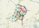
Network of 2,500 km earth, gravel and backroad routes in northern Victoria.

Ride Reports from riders on Nix-Tracks routes. Includes the best options in various seasons.

Learning to plan and navigate are the gateways to great ride experiences
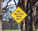
Local knowledge about signs, surface conditions and amenities available in nearby towns.
Recent Updates …
-

Earth Rivers and Ironbark
Get grounded riding quiet earth and gravel roads through scenic landscapes. The Earth Rivers and Ironbark (ERI) is a 400 km loop through northern Victoria. The route avoids traffic and prioritises river tracks, forest reserves and earthen back roads. Towns are well spaced along the route and there is easy access by train. Read more
-

Caltrop – Know your enemy
Cat-heads, goat-heads, bindi-eye, three corner jacks, lawn-lego. All names to strike fear into the hearts of cyclists and barefoot walkers. These names all refer to a specific type of small hard seed with thorns up to 1cm long. Learn how to avoid them. Read more
-

Review: Yellowbelly Track – Lee and Kerry
In April 2025, Lee and Kerry rode an epic 2 week tour around the region including both the GVRT and Yellowbelly Track. This is their report. Read more
-
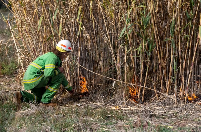
Cultural Burning Notice
Traditional Owner cultural burns are planned for National and State Parks in Victoria. Routes such as Yellowbelly Track and Earth Rivers and Ironbark may be impacted by these burns – starting Autumn 2026. Read more
-
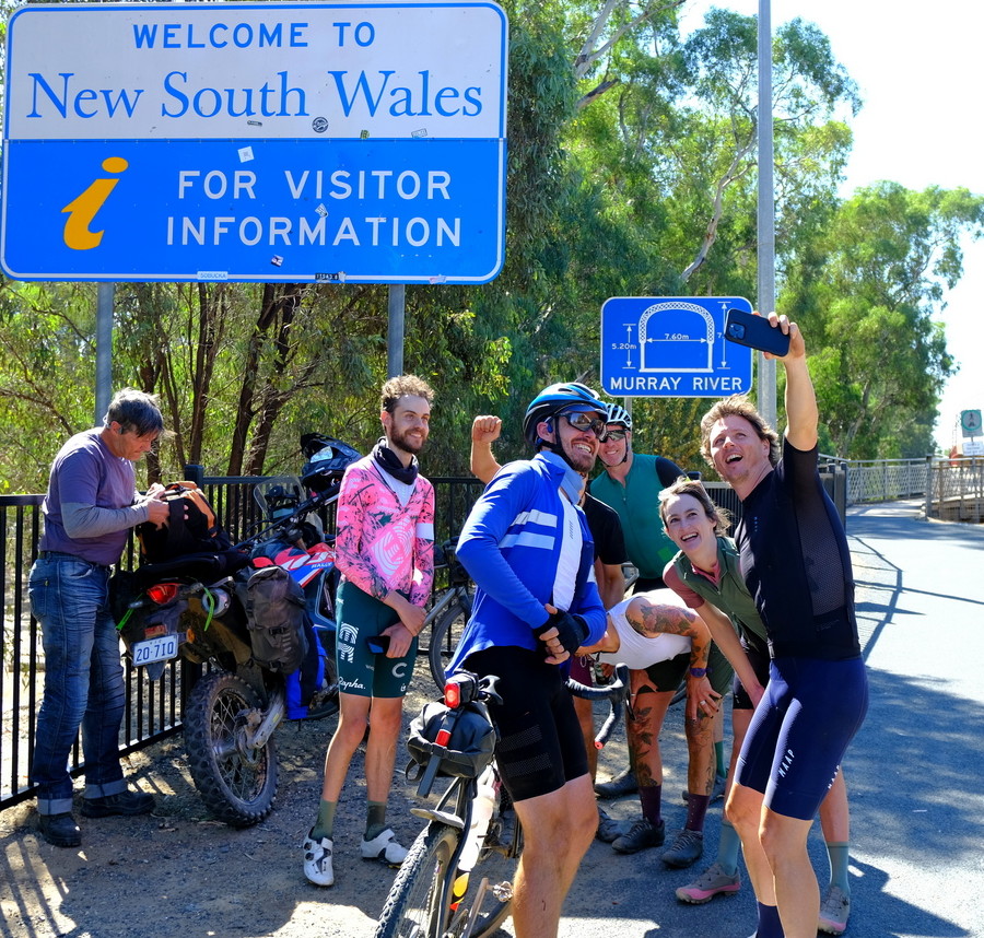
Curve Border Run
Curve Cycling has an annual gravel ride called Curve Border Run in March. The ride started in 2024 and usually attracts about 100 riders. The ride starts at 4am at Melbourne GPO and travels to the NSW border at Echuca (240km). They touch the border sign at the Echuca bridge when they arrive “interstate”. Read more
-

Lael Wilcox on Yellowbelly Track
On 21 July 2024, American Lael Wilcox rode briefly on the Yellowbelly Track passing through Murchison. This was part of her women’s round-the-world record ride. Her world record time was 108 days, 12 hours and 12 mins. Read more
-
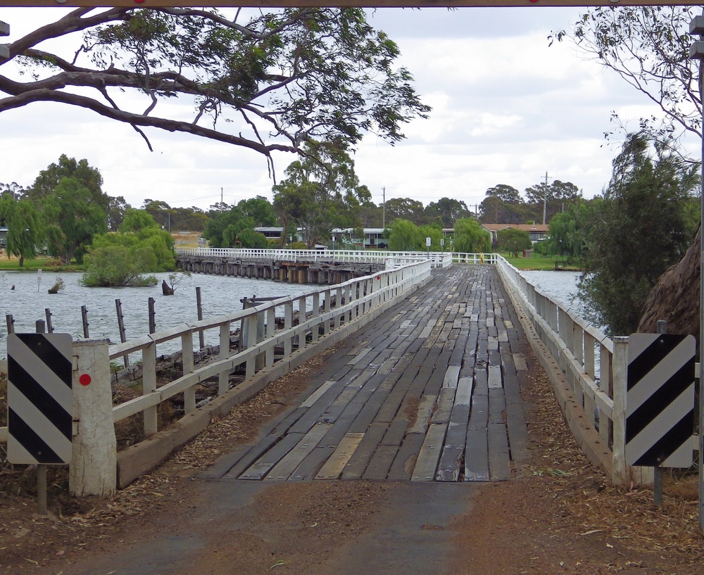
Kirwans Bridge is Open
Some good news. Crossing Kirwans Bridge is an item on the bucket list for many riders. The Bridge is open again to walk across (accompanied by your bike). The Bridge has been closed since the floods in 2022. It is still closed to car traffic. Read more