Category: Routes
-
Yellowbelly Track v2

The Yellowbelly Track launched in February 2021. Since then I have found more river tracks that join up. More importantly parts of the Yellowbelly Track flooded in 2022 and again in 2023. Even parts of the Yellowbelly Track – roads route flooded. I had planned for the roads route to…
-
Earth Rivers and Ironbark

Get grounded riding quiet earth and gravel roads through scenic landscapes. The Earth Rivers and Ironbark (ERI) is a 400 km loop through northern Victoria. The route avoids traffic and prioritises river tracks, forest reserves and earthen back roads. Towns are well spaced along the route and there is easy…
-
The GABCY Network

The GABCY Network is an integrated set of backroad cycling routes in Northern Victoria. The GABCY Network covers 5,800 square kilometres, bound by the Campaspe River on the west side, the Murray River to the north, the Goulburn River on the north and east side, and on the south side,…
-
Meet the Yellowbelly Track
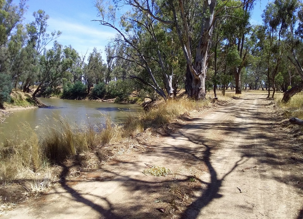
Introducing the Yellowbelly Track – a 200km bike route in Northern Victoria, from Echuca to Tallarook, following the Goulburn River. Route priorities were to stay close to the river, to minimise interraction with vehicle traffic, and to use river tracks and gravel roads instead of sealed roads where possible. Read…