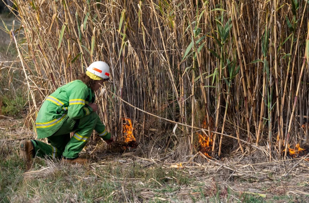
Traditional Owner cultural burns are planned for National and State Parks in Victoria. Routes such as Yellowbelly Track and Earth Rivers and Ironbark may be impacted by these burns – starting Autumn 2026.
Yellowbelly Track and Earth Rivers and Ironbark pass through sections of bush that are marked to be burned on the maps provided by Forest Fire Management Victoria. Riders may find their ride impacted by smoke or sections of their route blocked while these managed burns occur.
The burns are conducted by local First Nations Aboriginal Corporations in partnership with Forest Fire Management Victoria. The burns promote healthy country by stimulating growth of native plants, increasing biodiversity and reducing the risk of more dangerous wild fires.
The exact timing of burns depends on weather conditions and cannot be scheduled far in advance.
The information provided to date is not very helpful. People can apply to be notified in advance if a burn effects their local area of around 20km. However, that is not very helpful when planning a 400km ride through multiple park areas. I have contacted Forest Fire Management of Victoria to see if I can get access to more useful information.
The links and contacts below list what is available currently:
- Joint Fuel Management Program Interactive Map – Shows planned burns across Victoria for the next 3 years. Best for checking your entire route, but it doesn’t indicate the actual time of the burns. JFMP Interactive Map
- Planned Burns Victoria (plannedburns.ffm.vic.gov.au) – You can register for Email/SMS notifications for specific locations but these are 20-50km radius only.
- VicEmergency – App or Website show current burns and incidents.
- VicEmergency Hotline: 1800 226 226 – Call if you see or smell smoke to check if a burn is in progress.
- More information: Forest Fire Management Victoria – Traditional Owner Burns

Leave a comment