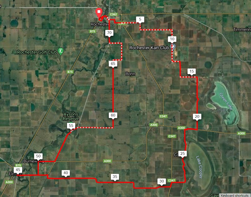
- Distance: 74 km loop
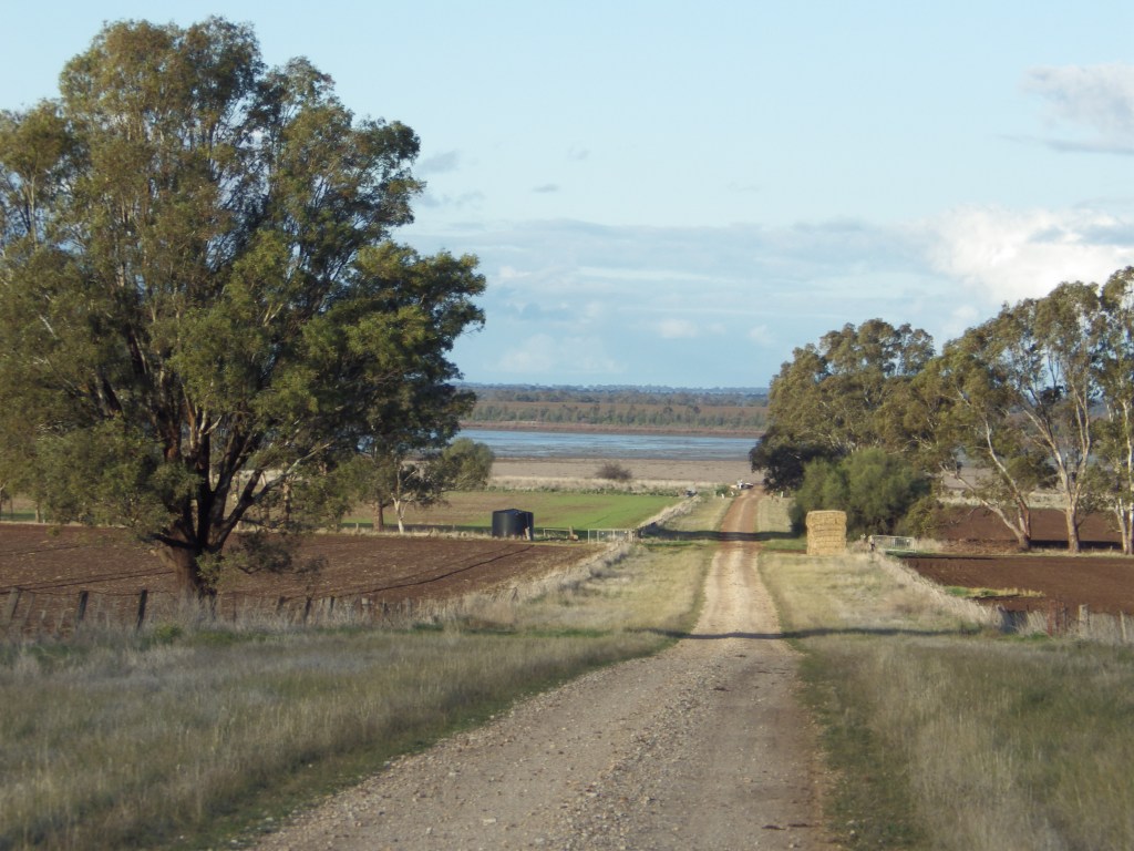
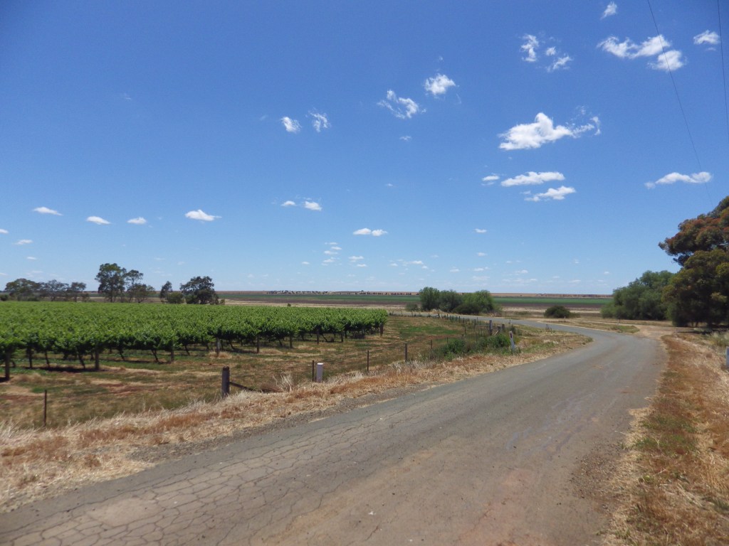
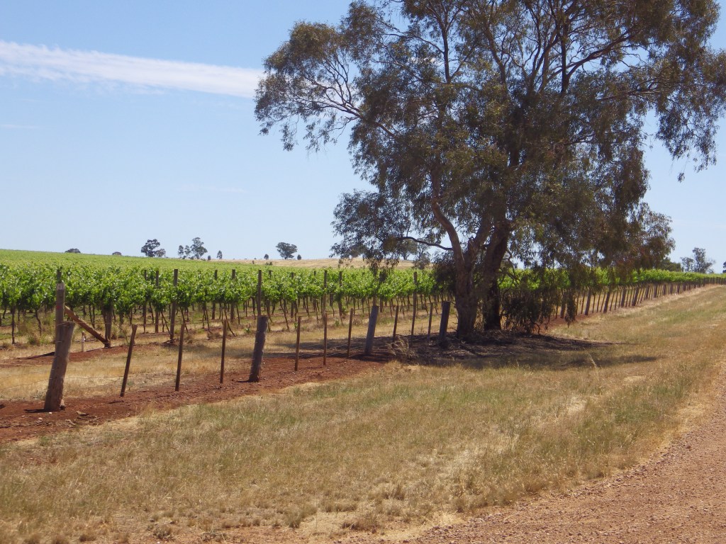
- Description: This ride covers a range of terrain in the transition zone from the finish of Mt. Camel range and its red soil vineyards, and bog-prone black soil on its eastern side, and moves north to more open flat river plains with sandier soils.
- Amenities: Rochester. Also Corop and Elmore (both on busy roads).
- Accommodation: Rochester, Elmore, Aysons Reserve (camp in reserve on Campaspe with toilets).
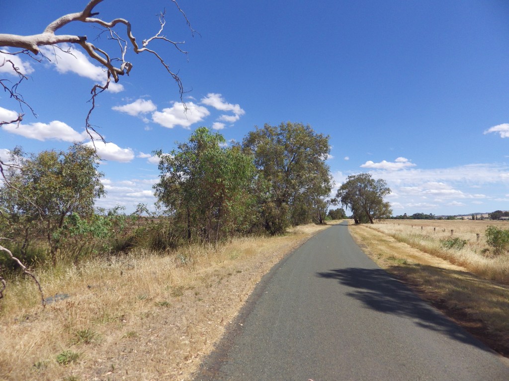
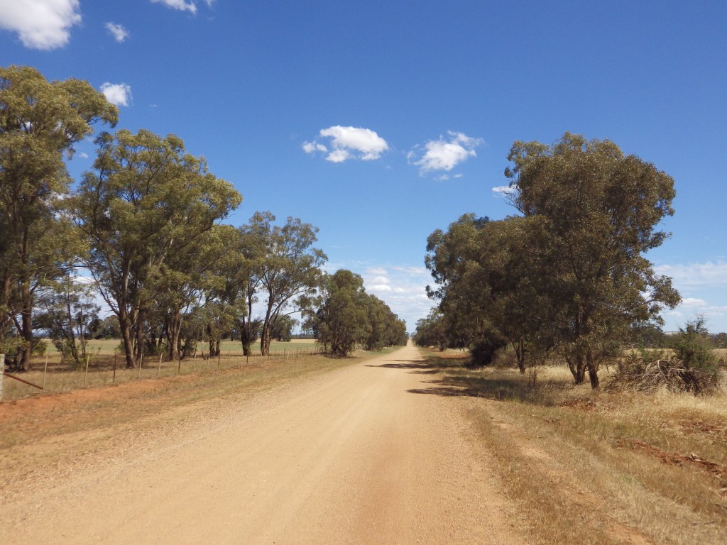
- Ride surfaces: This has about 50:50 unsealed road and sealed road. There are about 10km of busy highway sealed road, most of which is connecting with Elmore. The remaining busy road is 1 km into Corop (with shoulder) and 0.5 km at base of Burrumboot climb. Rochester has a bike path beside its highway and bridge so access there is OK. Consider bypassing Elmore if you can.
- Terrain: Flat to rolling, but with a climb over Mt Burrumboot south of Corop. The east climb is steeper than the west side. Total vertical metres = 309m.
- Suggested Ride: I’m open minded about this one. Rochester has the best food, Corop is OK, Aysons is nice spot for a camp or picnic. Riding clockwise will have the steeper climb – some will prefer that, others not. Consider using Hayes Rd to connect Aysons/Three Chain Rd to Trewin Rd, to avoid Elmore (and ride will be about 10 km shorter).
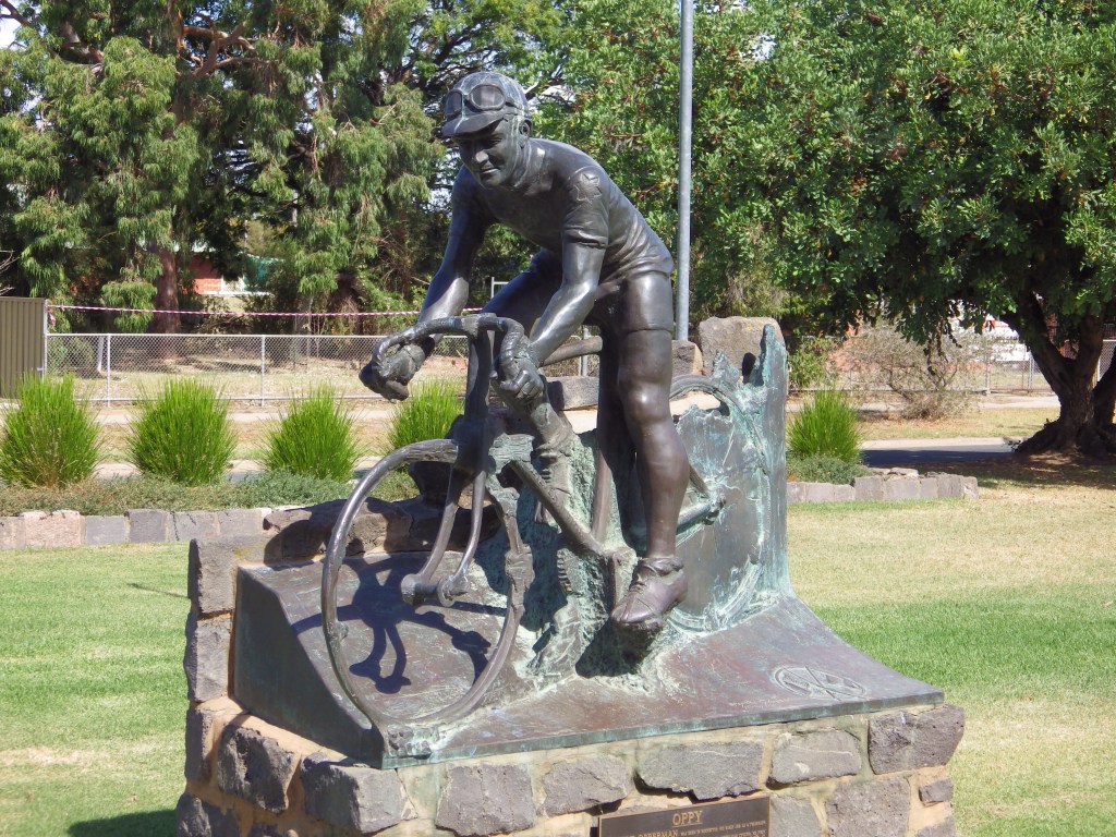
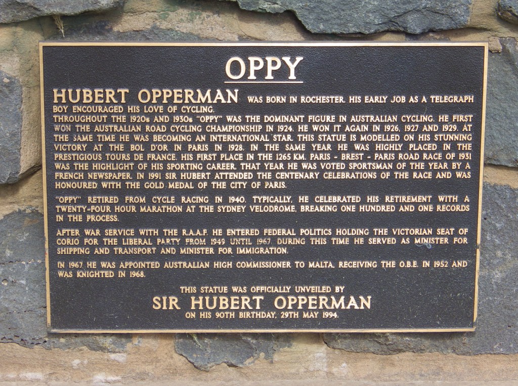
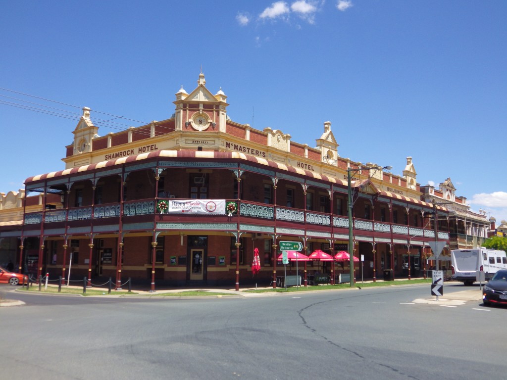
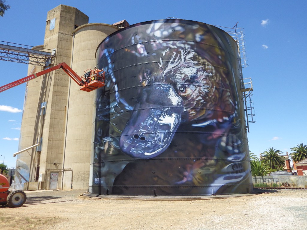
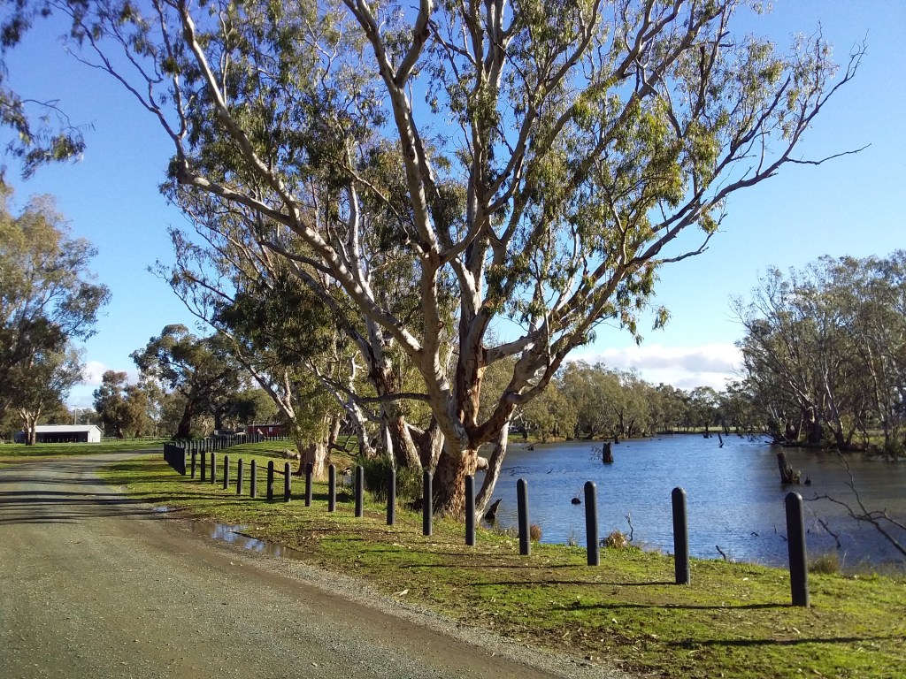
- Highlights: Rochester – silos , oppy and township. Aysons Reserve campsite. Mt Burrumboot climb. Wide open plains and changing terrain pattern.
- For the gravel aficionados: Quarry Road passes by Nanneella Quarry, source of the champagne coloured gravel on your routes in the south western part of GABCY Network.
- Link to gpx file: Download gpx file from this link – Grains Mainly on Plains
- Connects with: Nabbin My Booty, Lap of Local Lakes, The Tour of Five Halls. See – GABCY Network.
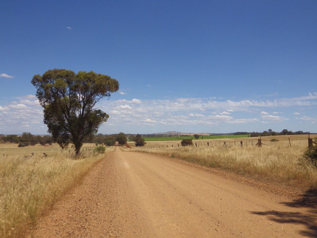
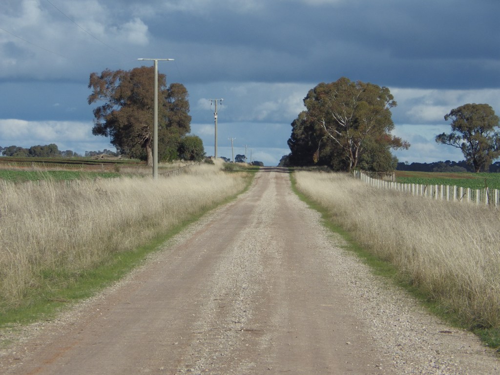
- Pics:


.
