- Distance: 77 km loop.
- Description: Discover the wide skies and open farmland between the Campaspe River and Mt.Camel Range. Includes 2 climbs over the range (at Burumboot and Myola) and as a bonus painted silos and country pubs.
- Amenities: Colbinabbin, Elmore (busy road), Goornong (slightly off route).
- Accommodation: Colbinabbin and Elmore. English Bridge & Runnymede Reserves (camps).
- Ride surfaces: 70% gravel or earth, 20% quiet sealed roads, and 10% busy sealed roads. [However the 10% (8km) of busy sealed highway from Runnymede to Elmore and back to the loop can be completely avoided if you don’t need to go to Elmore for supplies or connections].
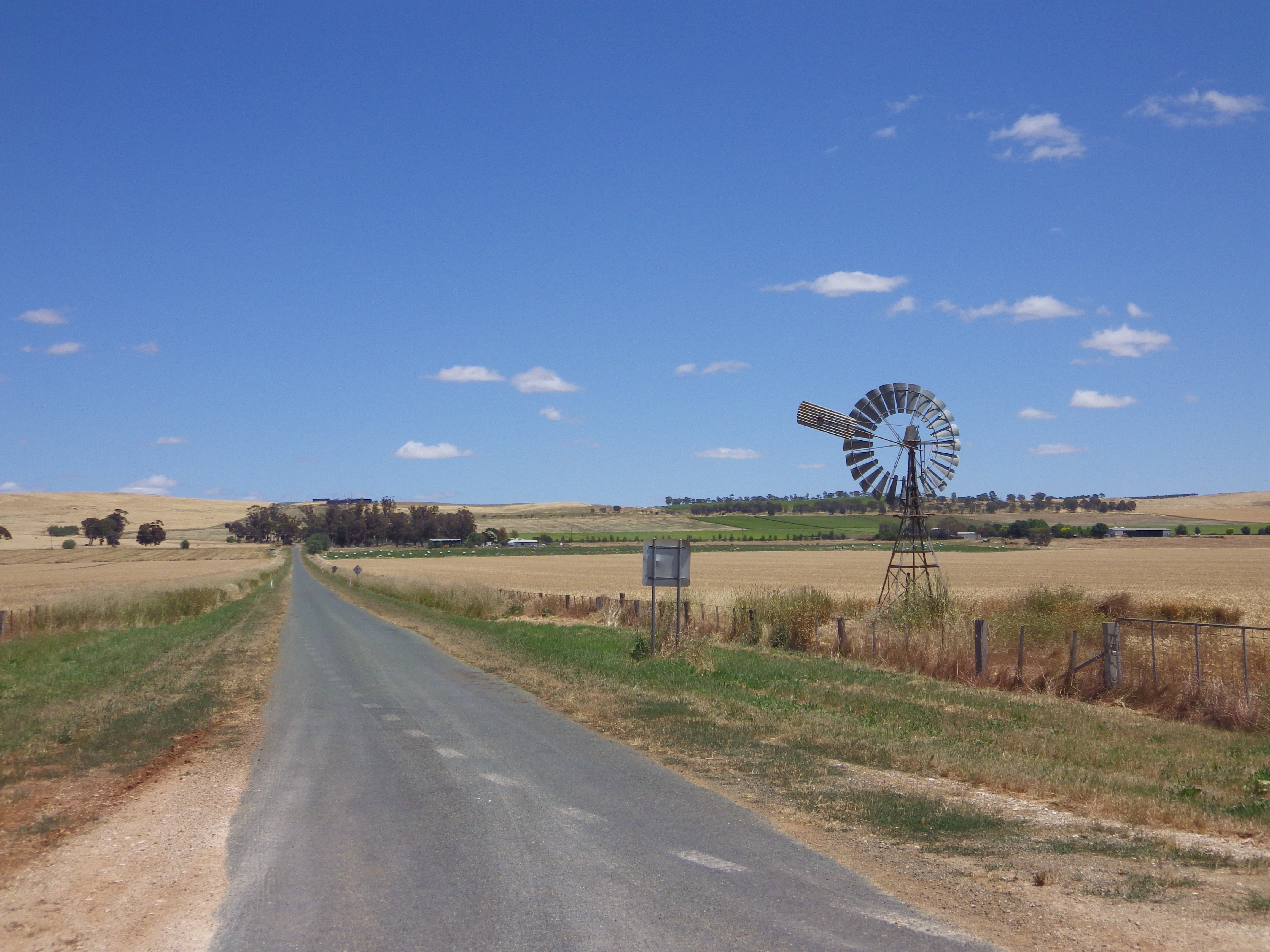
- Terrain: Flat to slightly rolling for most of the ride, but with 2 climbs over Mt Camel Range (see profile in pics below). Total vertical metres = 411m.
- Suggested Ride: Start at Colbinabbin, ride anti-clockwise, don’t do the side link to Elmore at Runnymede. Instead go off-route to Goornong pub for lunch, with possible swim at English Bridge and back over the range to Colbinabbin.
- Highlights: Painted silos and Country Pub at Colbinabbin, Canola in bloom if spring, 2 climbs over Mt.Camel Range. English Bridge campsite and swimming hole.
- For the gravel aficionados: Lake Cooper Quarry is south of Trewins Road at the crest of the northern climb (Mount Burrumboot) on this route. This is the source of a hard blue-grey rock which is occasionally used for gravel road surfaces, but more usually for road base and aggregate. Which is good because vehicles fling it around too much for my liking . A kilometre further to the west, Browns gravel pit provides a softer pinky brown gravel for local roads.
- Link to gpx file: Download gpx file from this link – Nabbin My Booty
- Connects with: Leen Down the Dale, Grains Mainly on the Plains, Lap of Local Lakes and Camel Cornella. See – GABCY Network.
- Pics:


.