
Table of Contents.
- Access Updates
- The GABCY Network – original Post
- What is the GABCY Network?
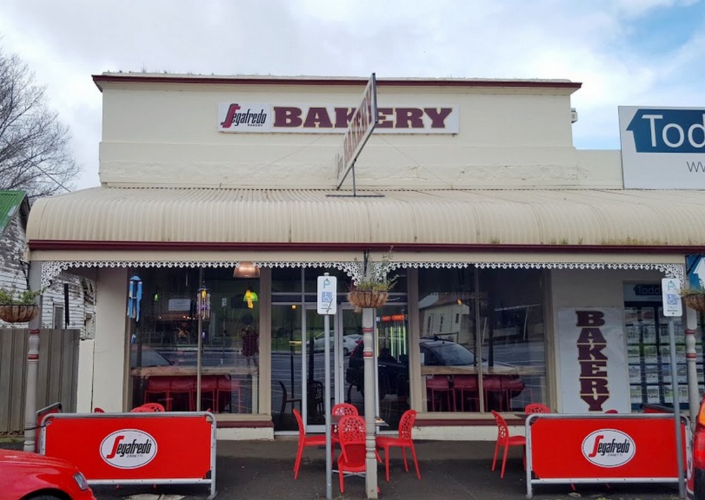
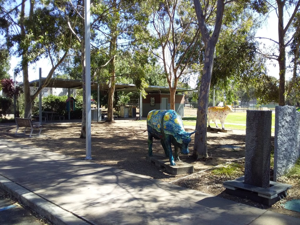
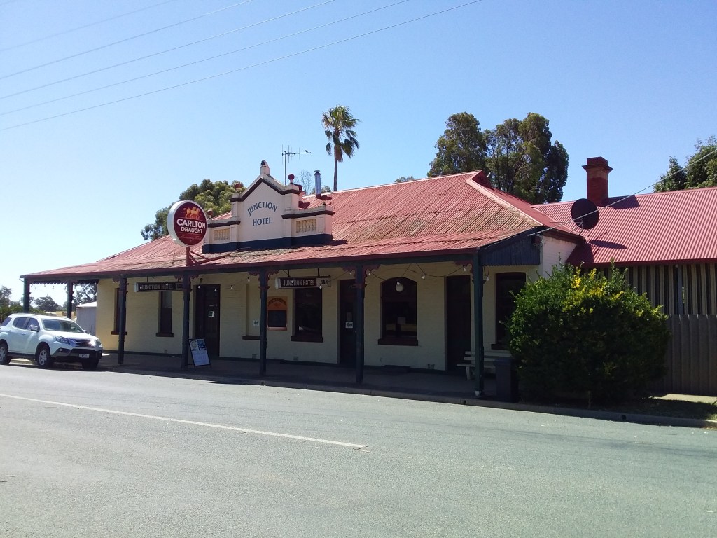
- Food, Drink, Amenities and Accommodation
- Trains
- Is GABCY Network a Good Choice for You?
- Individual Loops and Routes
- 1. Yellowbelly Track
- 2. Nagambie Meander
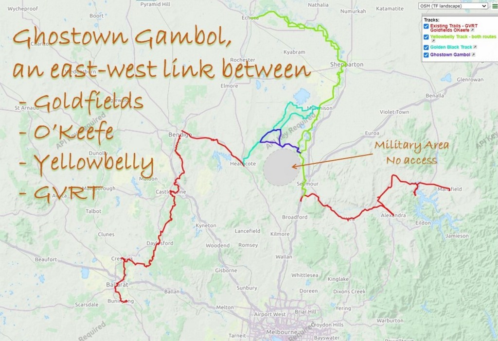
- 3. Ghostown Gambol
- 4. Golden Black Track
- 5. Kirwans Rushy Whroote
- 6. Reap the Red Ridge
- 7. Leen Down the Dale
- 8. Camel Cornella
- 9. Nabbin My Booty
- 10. Lap of Local Lakes
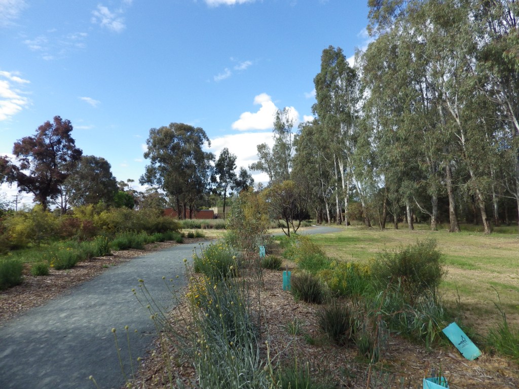
- 11. Waranga Whirl
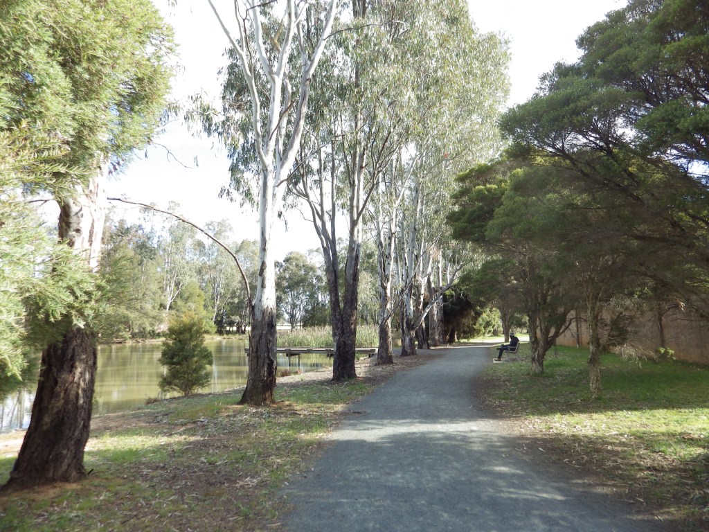
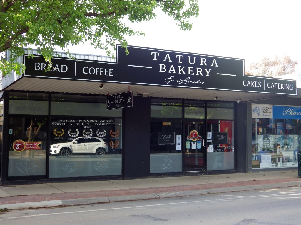
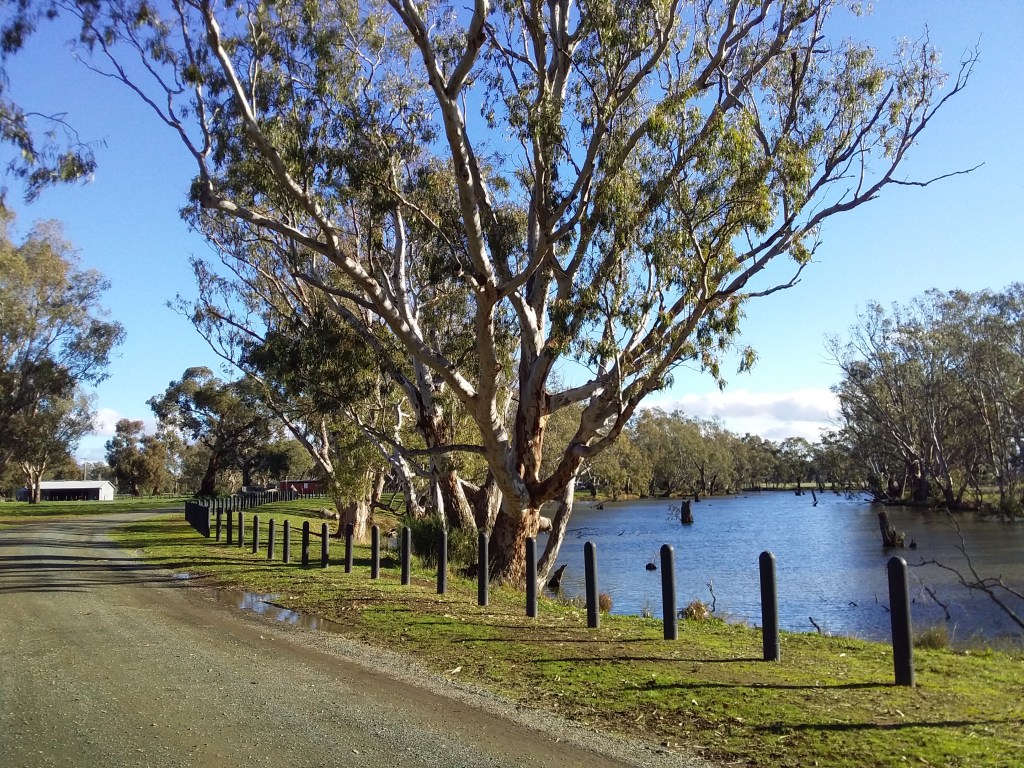
- 12. Tatura Terra Rustica
- 13. Harston Easton Weston
- 14. Carag Carag Wetland Wetland
- 15. Grains Mainly on The Plains
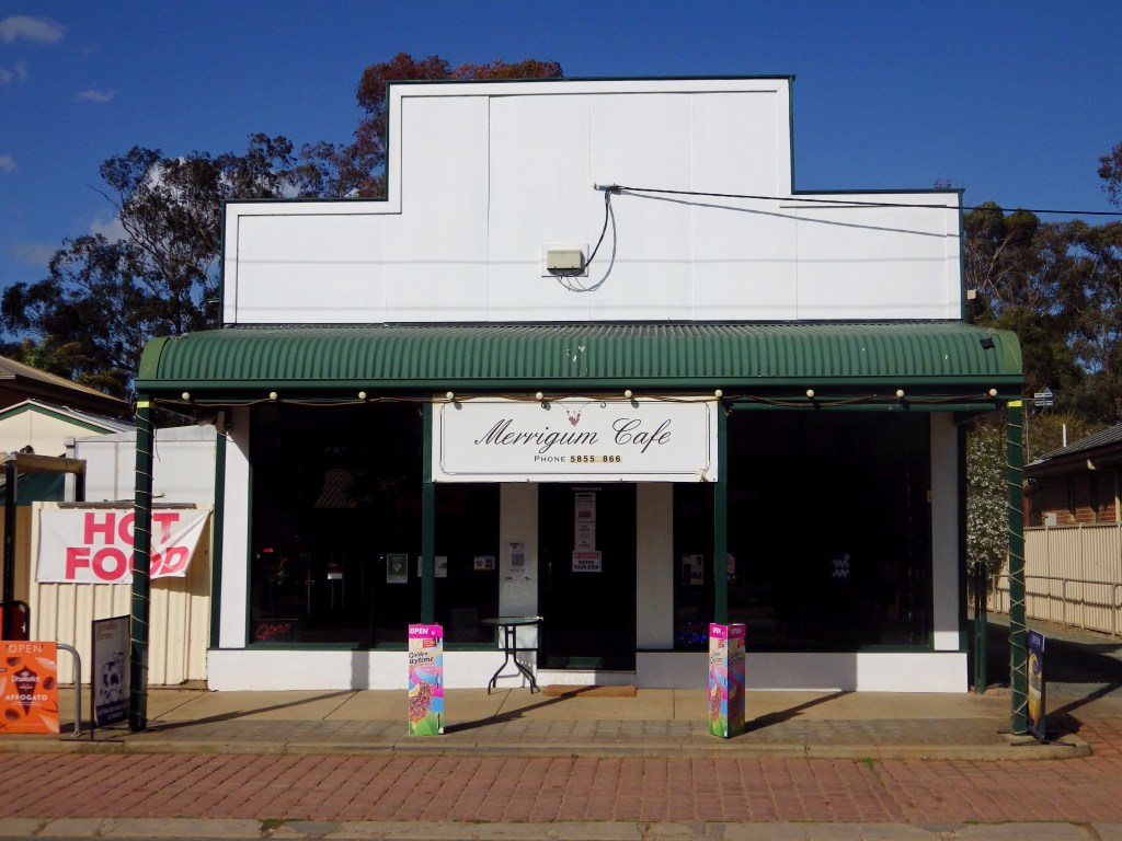
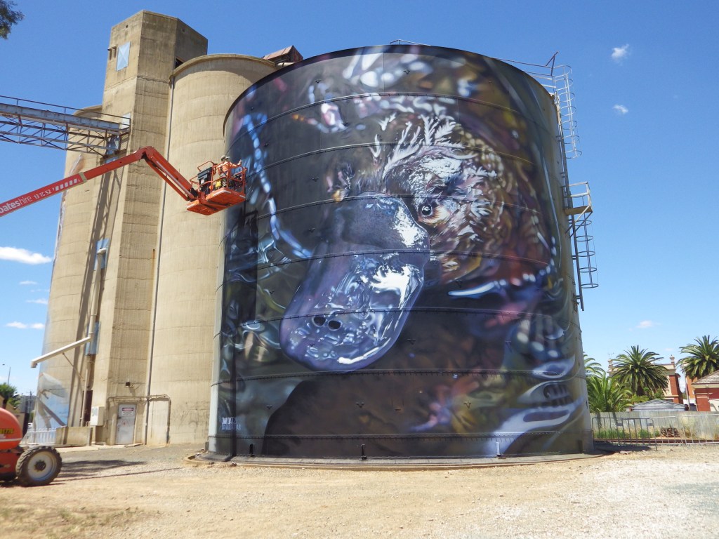
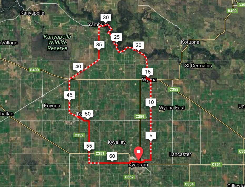
- 16. Ky-Tat Merrigoround
- 17. Coomboona Carousel
- 18. Scobie Scamper and Jig
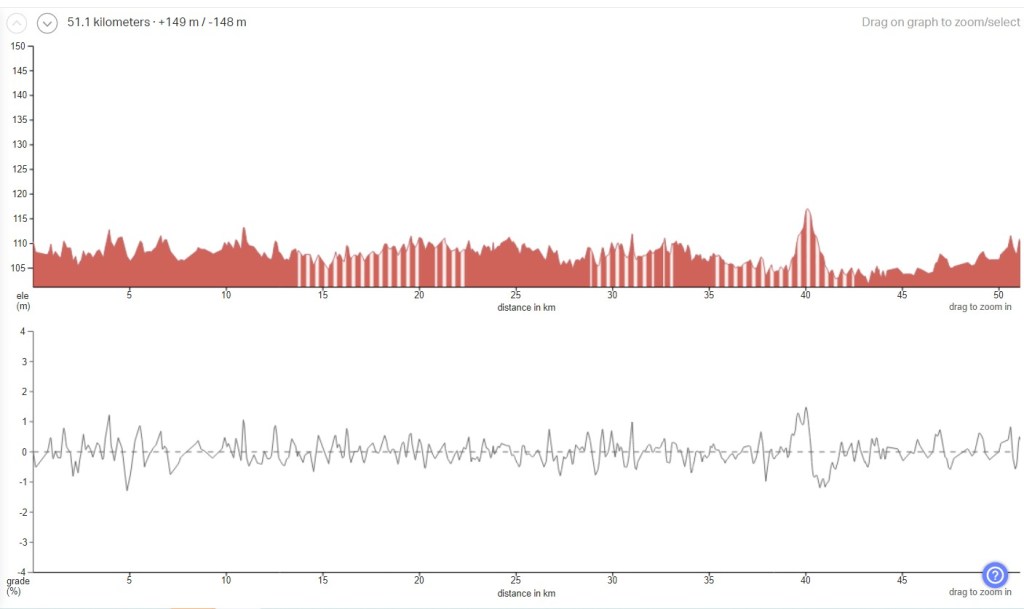
- 19. Undera Riviera
- 20. Everyone Loves Donkeys
- 21. The Tour of Five Halls
- 22. Wyuna Pastoral Run
- 23. All The Gravels Run
- Conclusion, Comments and Questions
Access Updates
Ongoing: For the latest updates about access to routes see list of access update posts.
Update December 2025: See Understanding Flood Risk page. Learn where and why riverine floods impact these routes. Find out how riders can anticipate flooding.
Update December 2022: There were major floods along rivers in northern Victoria in October (see All The Rivers Flood). Some of the GABCY Network routes are on riverine floodplain and many of these routes were inundated. See access updates list for the latest information I have about sections of routes that are not accessible currently. Also make your own enquiries, I don’t know everything.
—————– Original Post ———————–
The GABCY Network – original Post
What is the GABCY Network?
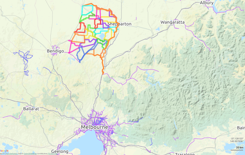
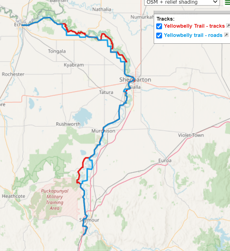
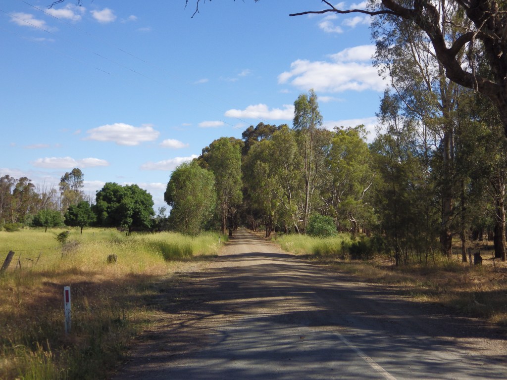
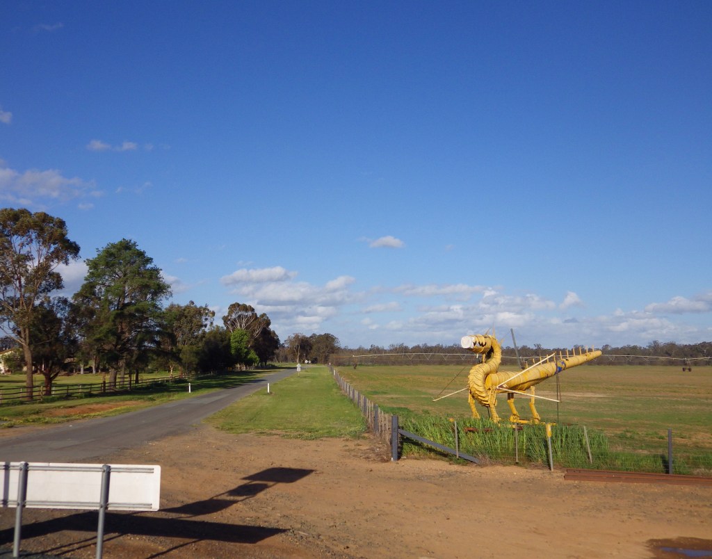
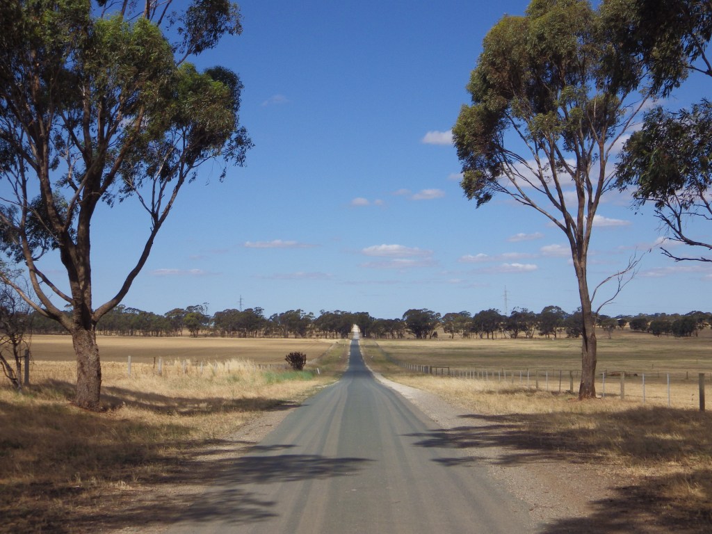
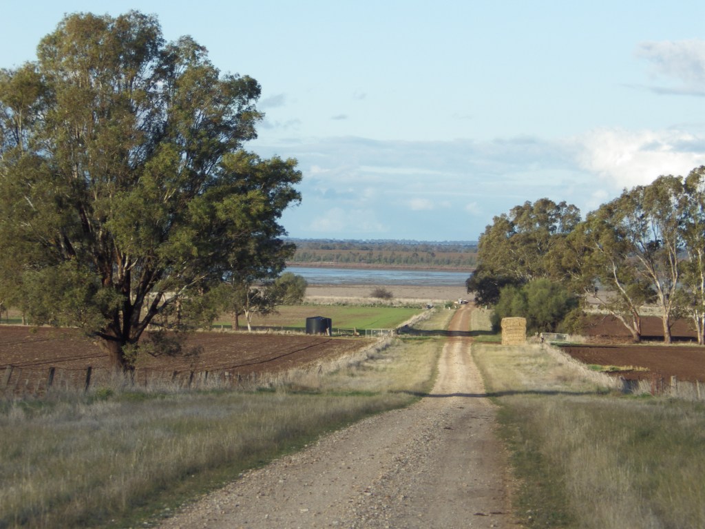
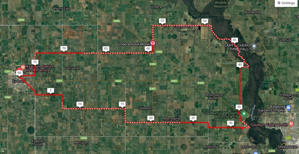
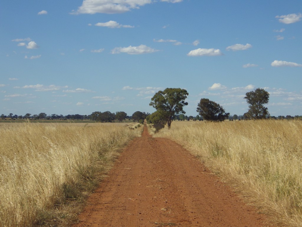
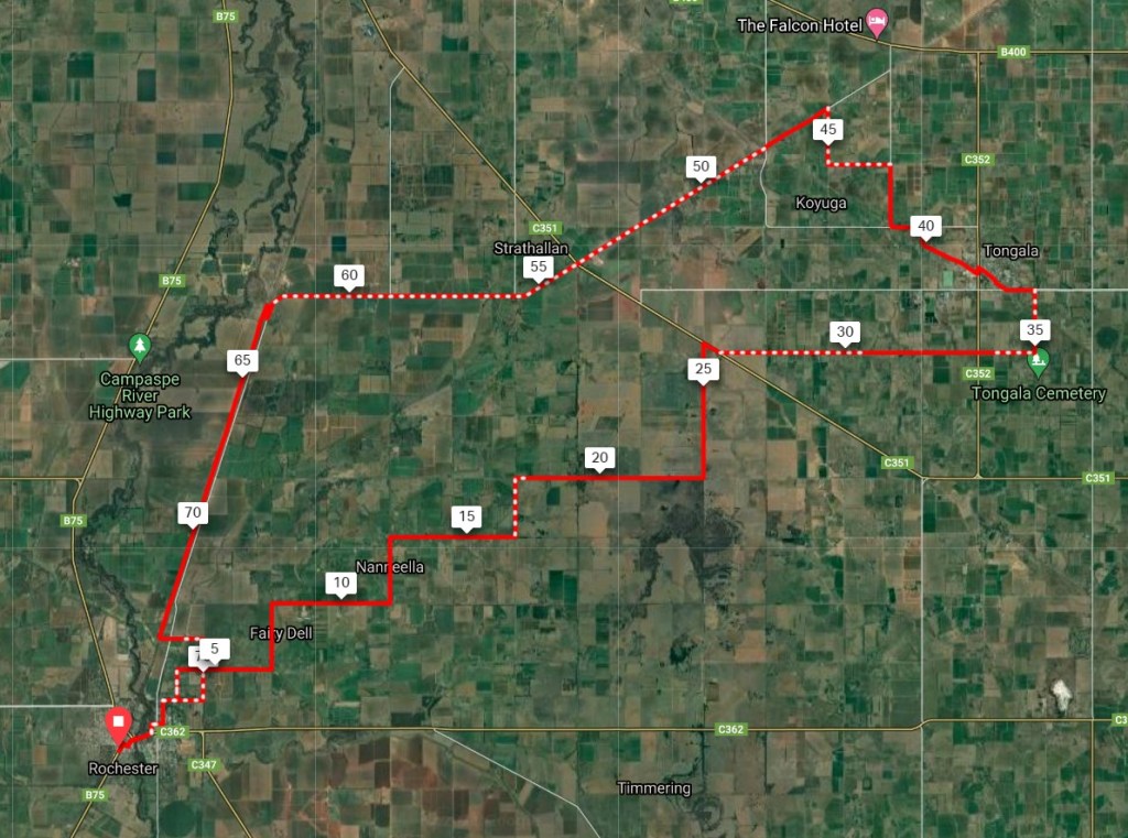
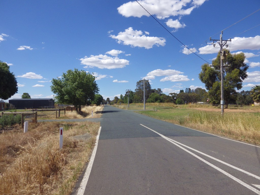
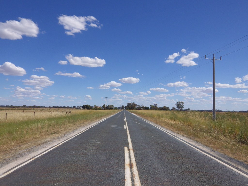
The GABCY Network is an integrated set of backroad cycling routes in Northern Victoria.
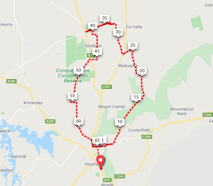
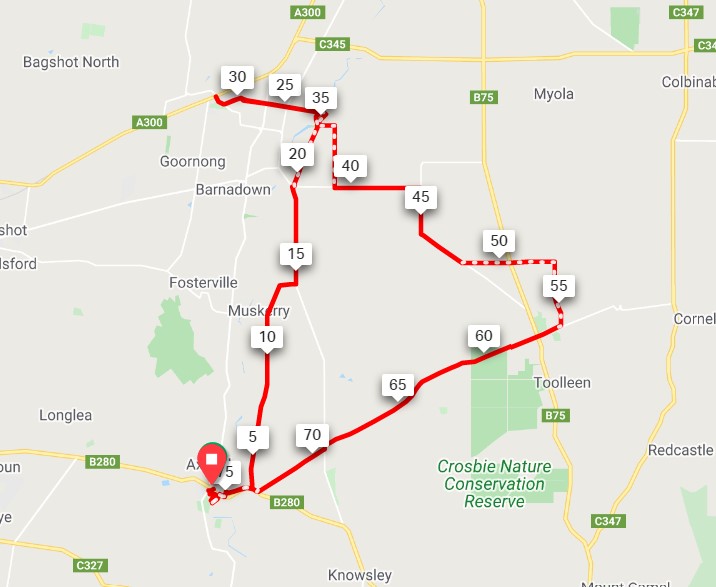
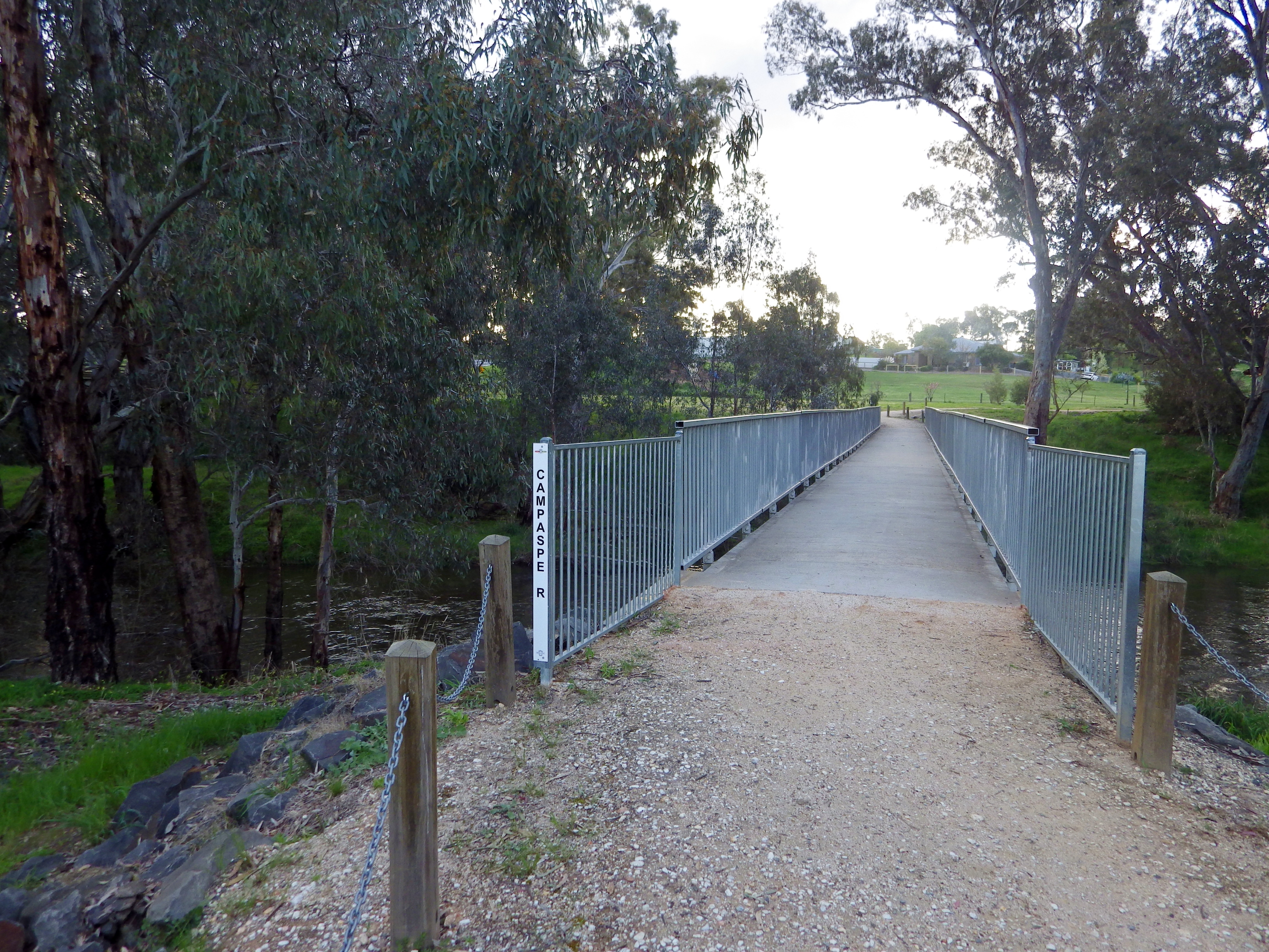
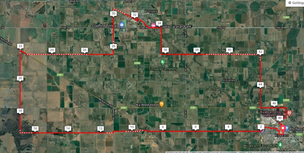
The GABCY Network covers 5,800 square kilometres. It is bound by the Campaspe River on the west side. The Murray River lies to the north. The Goulburn River is on the north and east side. On the south side are the foothills of the Great Dividing Range and the Puckapunyal Military Area.
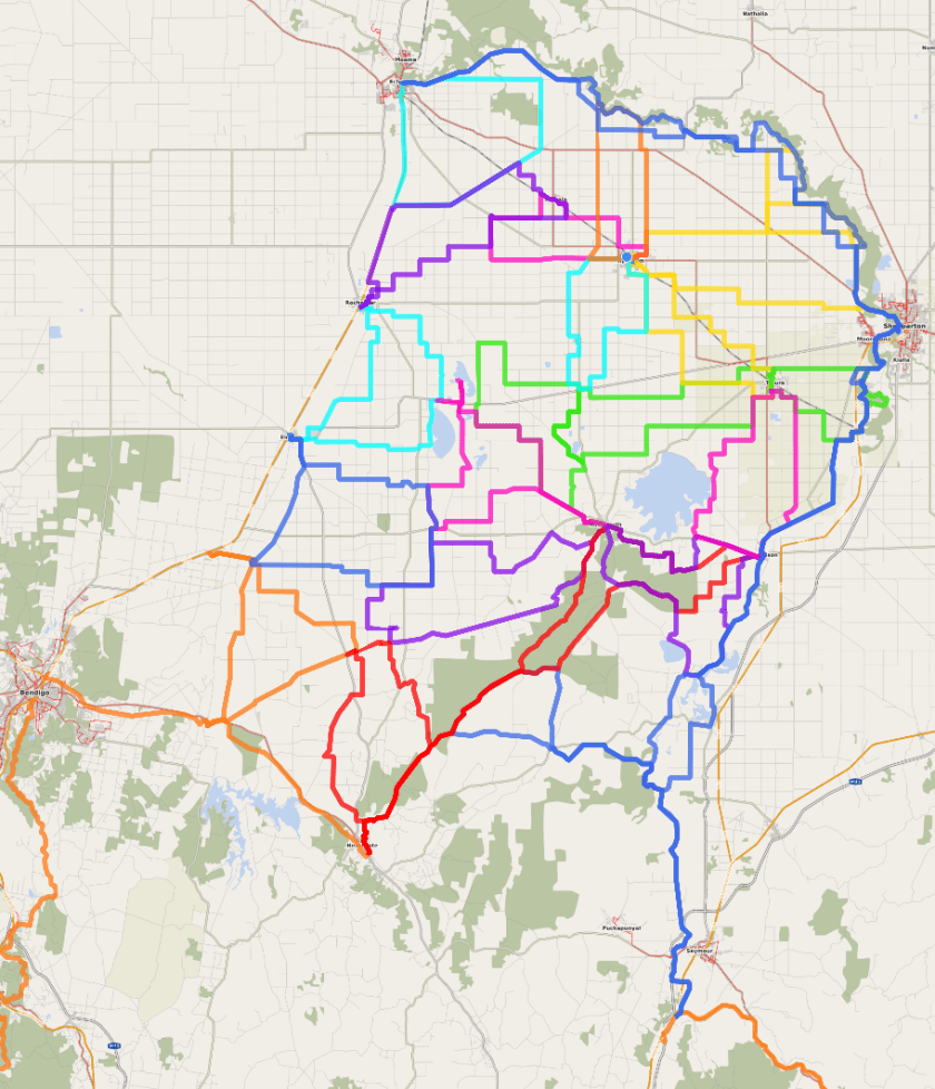
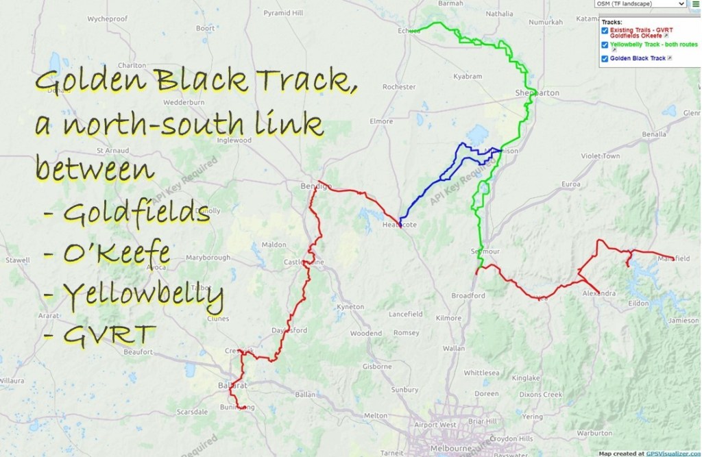
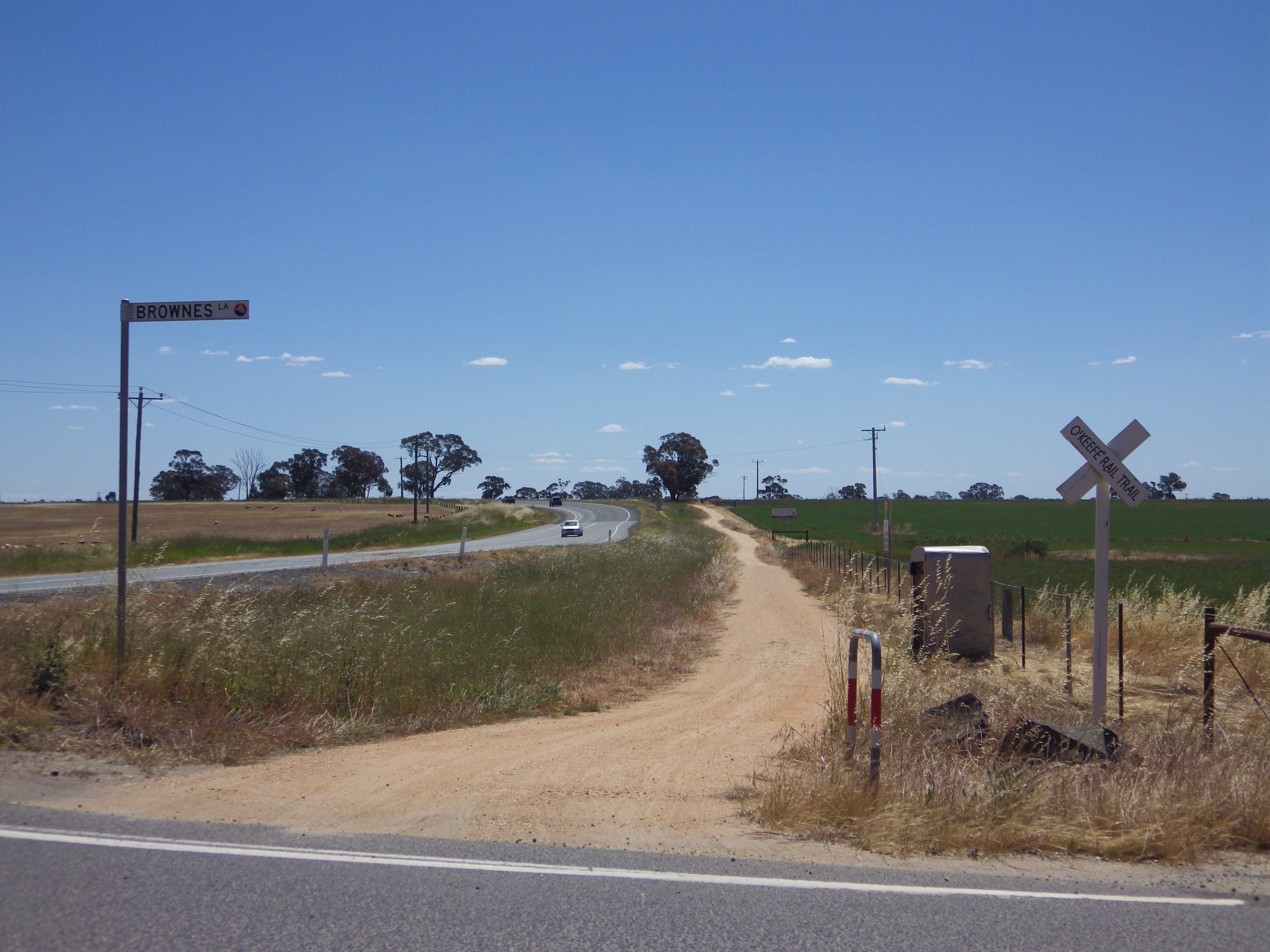
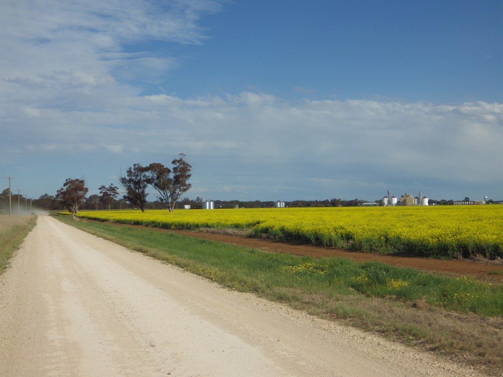
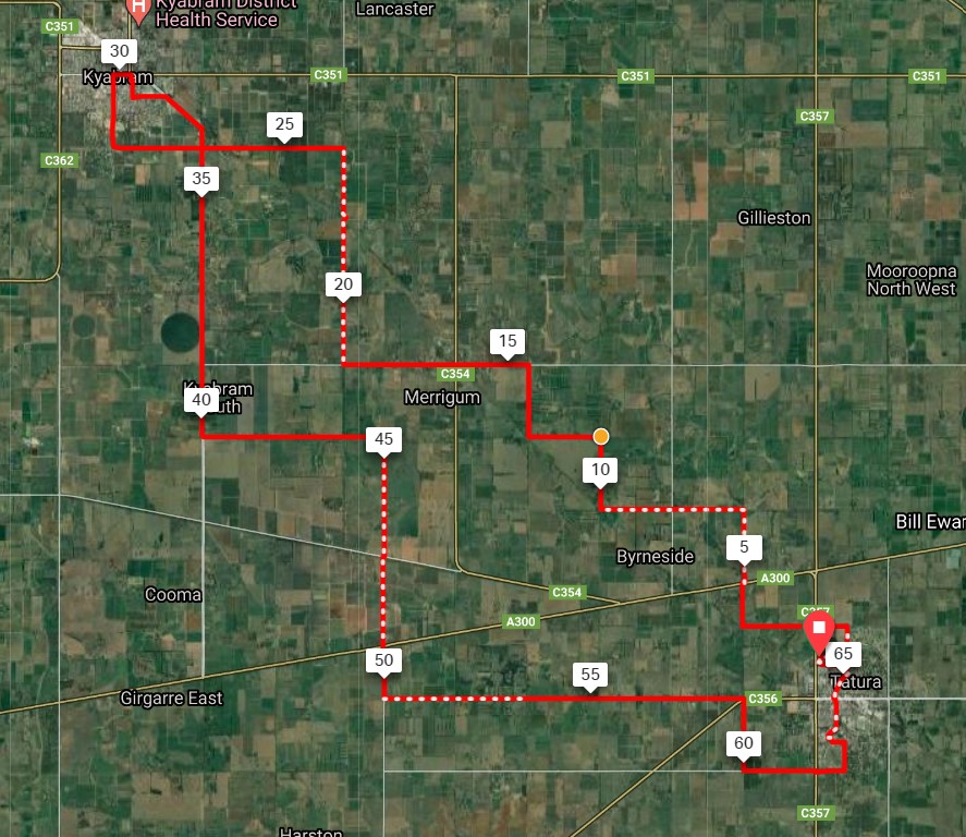
There are more than 20 individual loop routes in the GABCY Network. The total distance is over 1,700 km. Some routes overlap occasionally. The GABCY Network is larger and more interconnected than other Victorian cycling areas and rail trails, as shown in the map below.
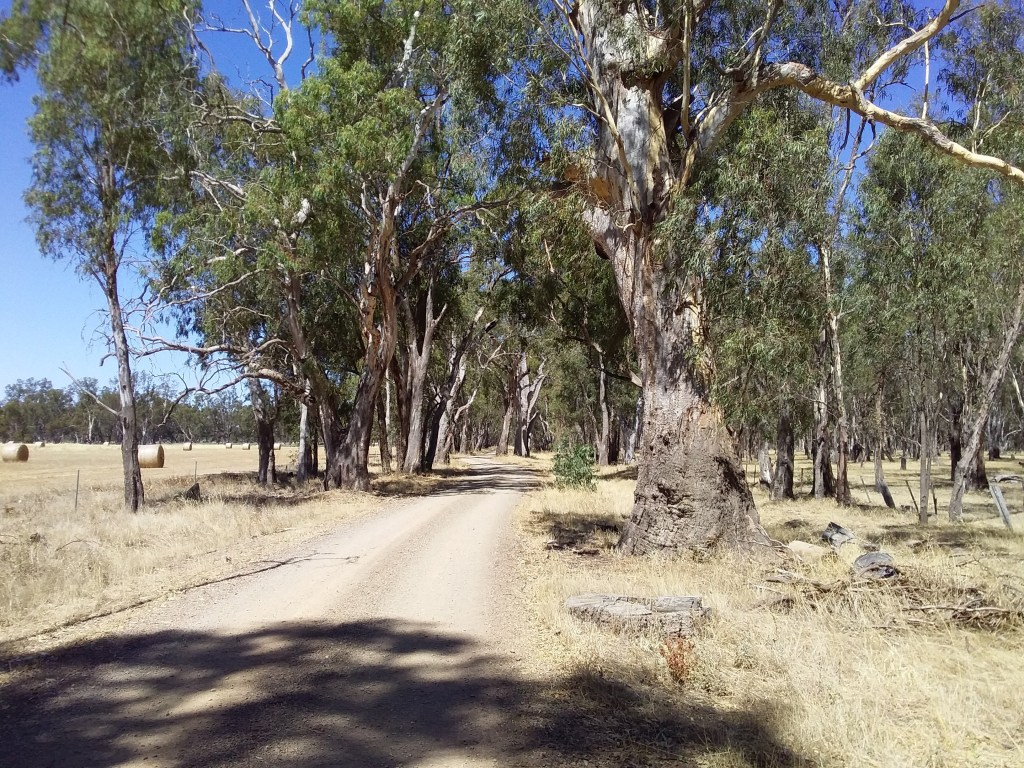
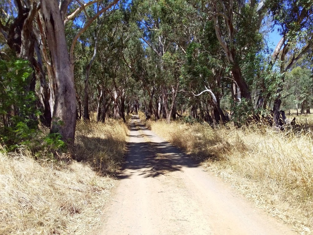
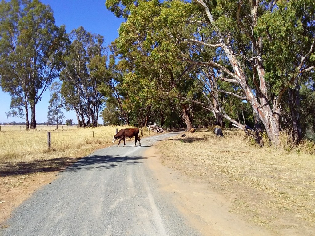
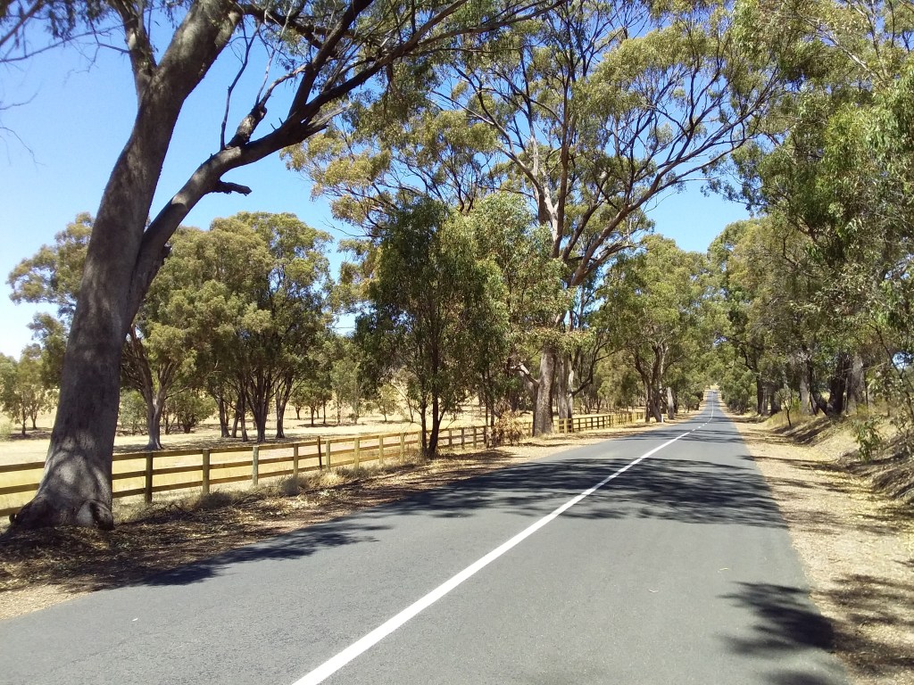
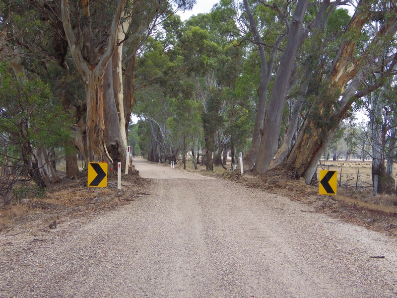
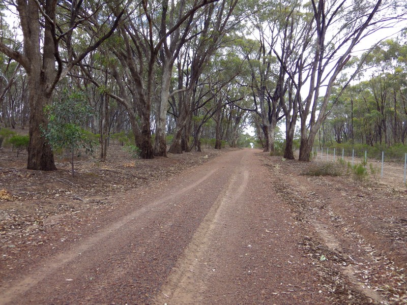
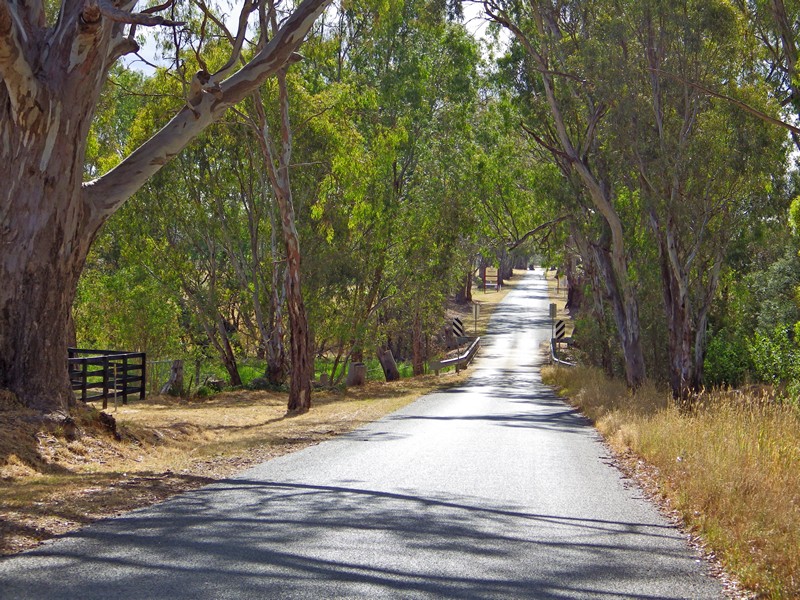
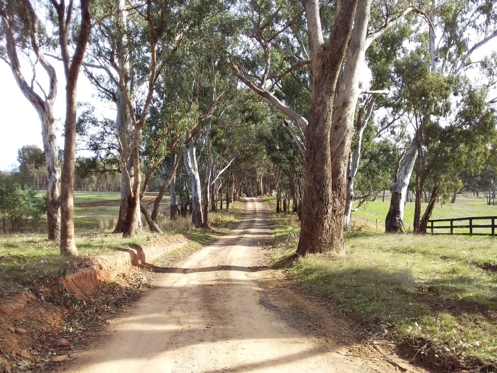
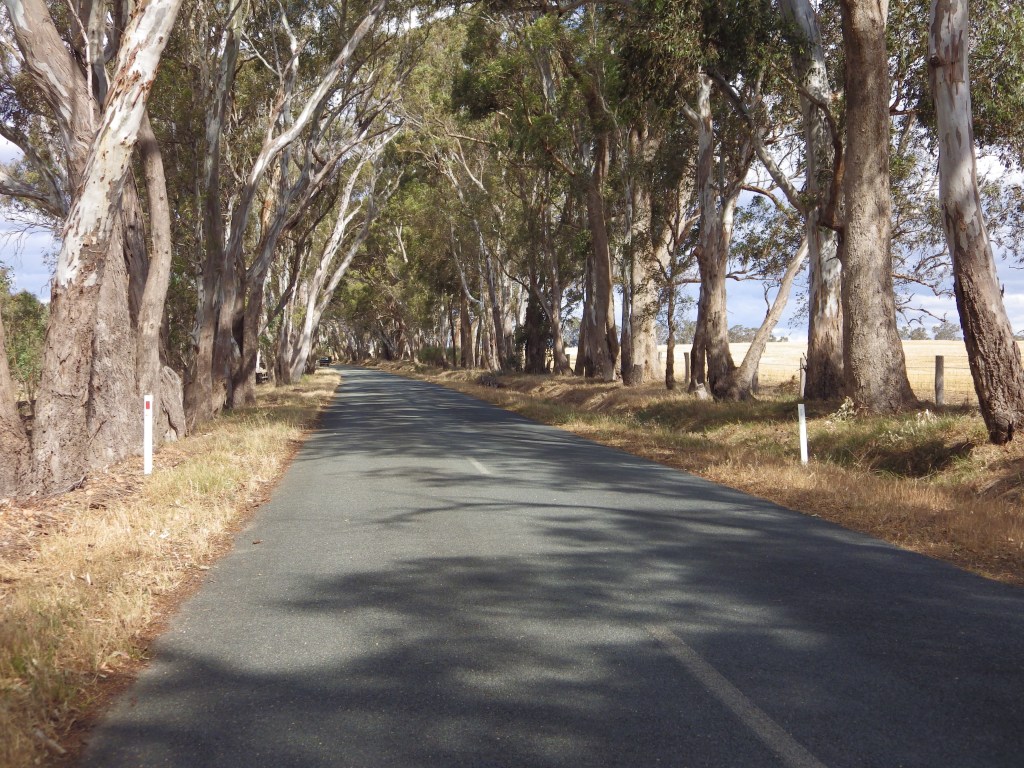
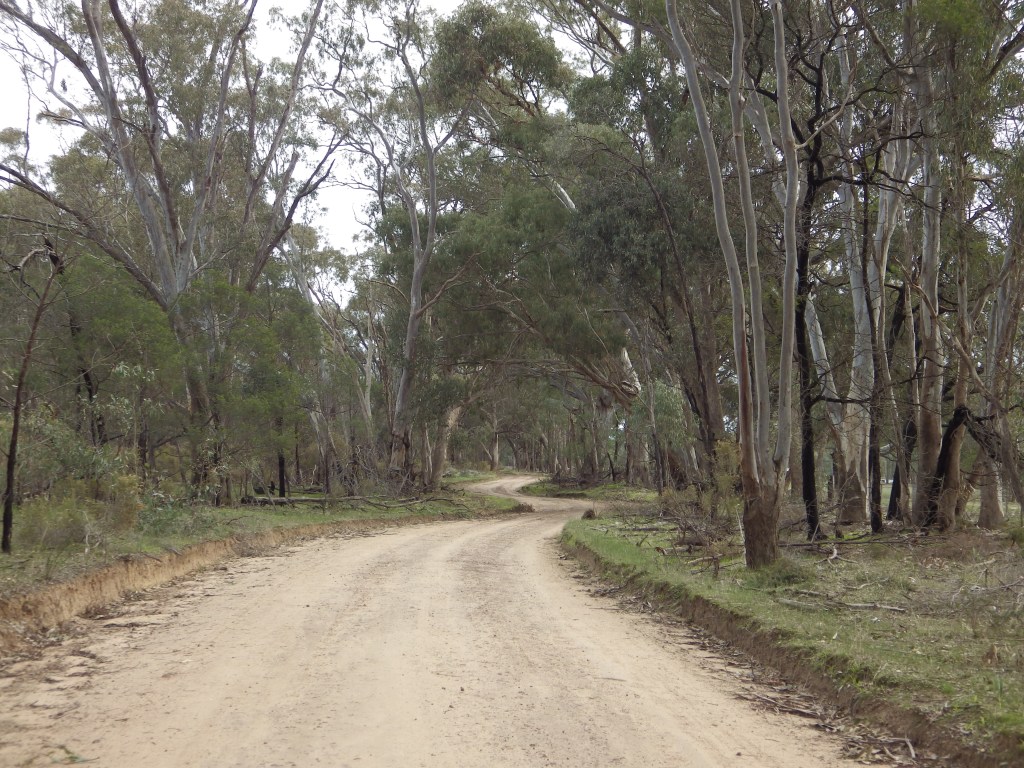
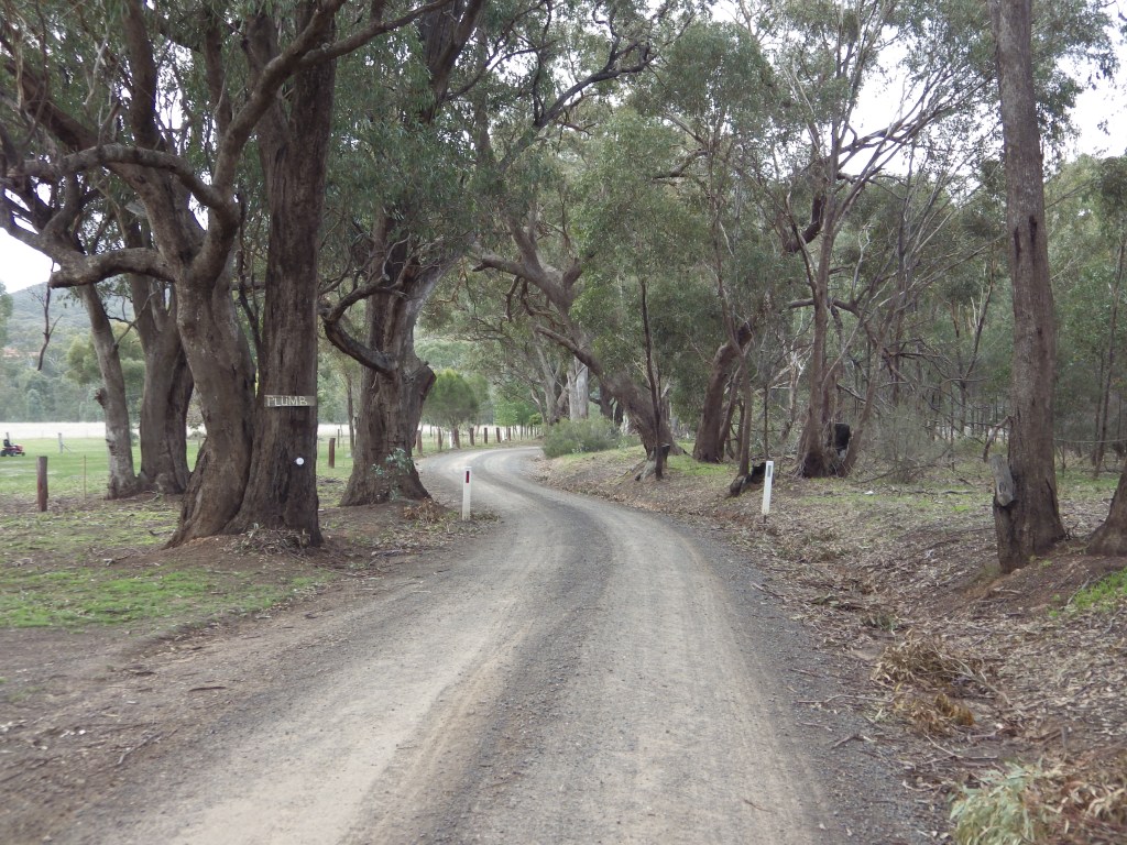
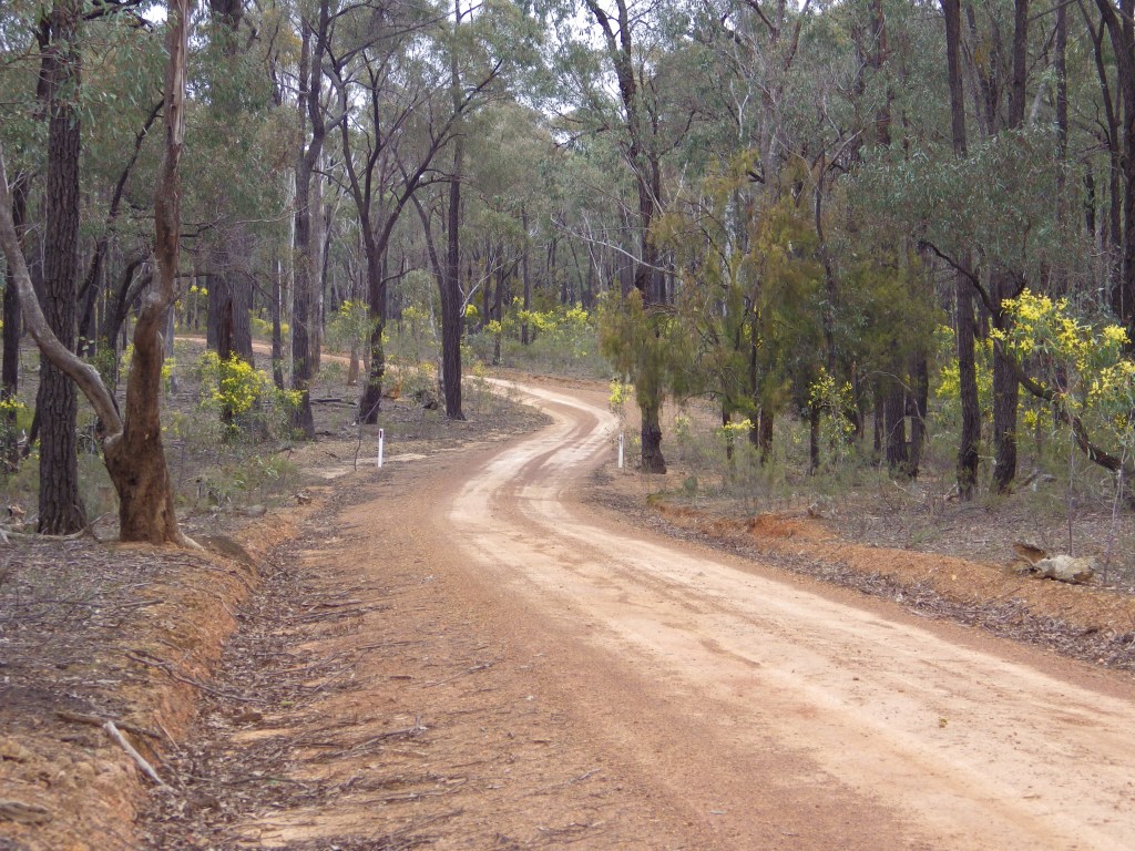
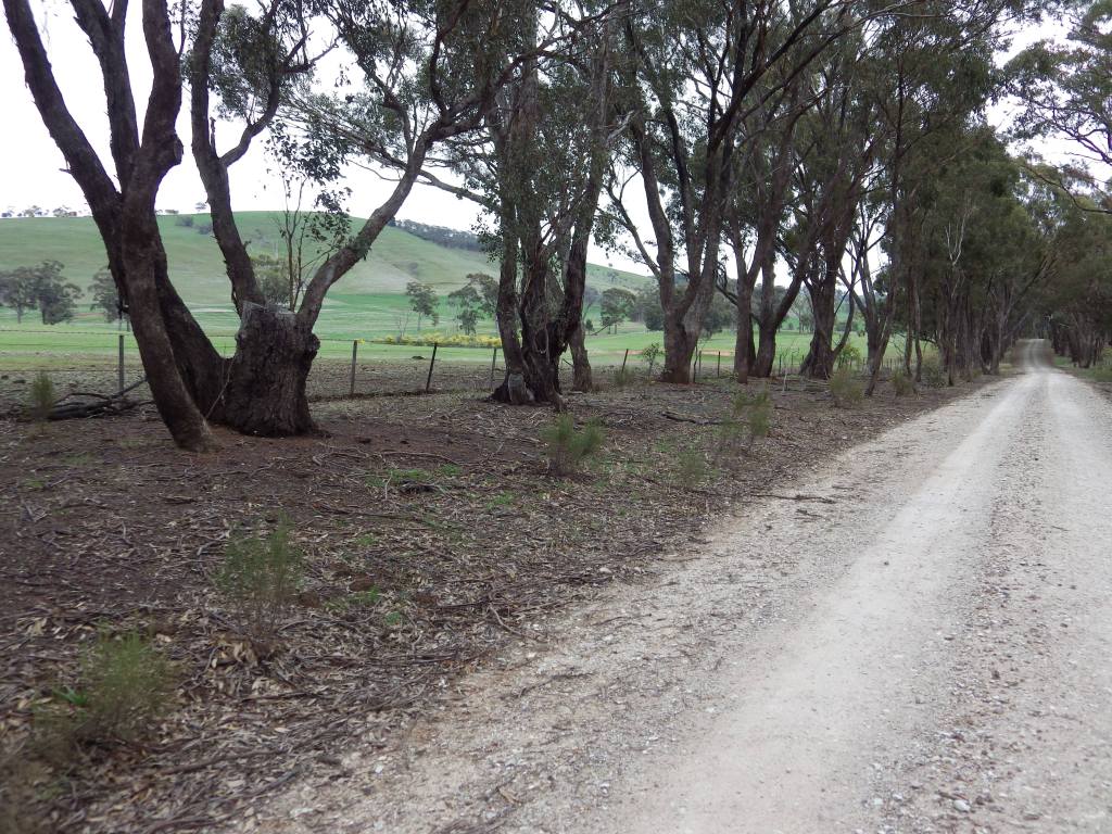
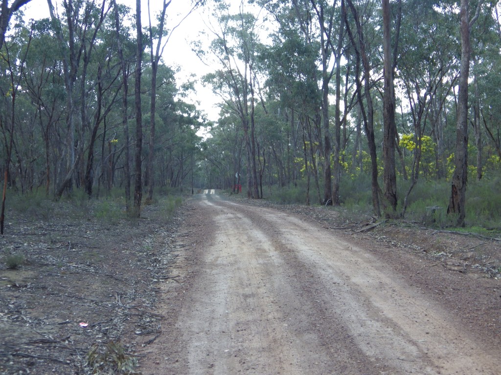
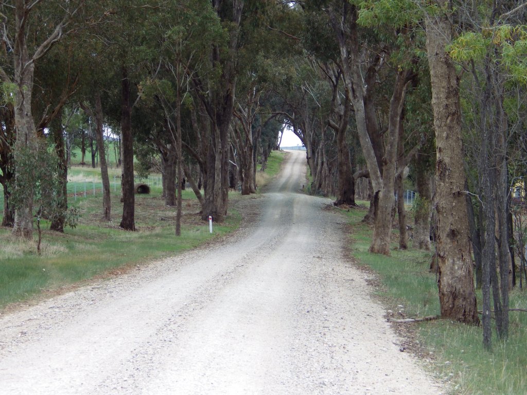
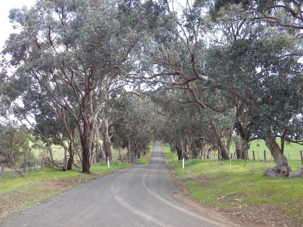
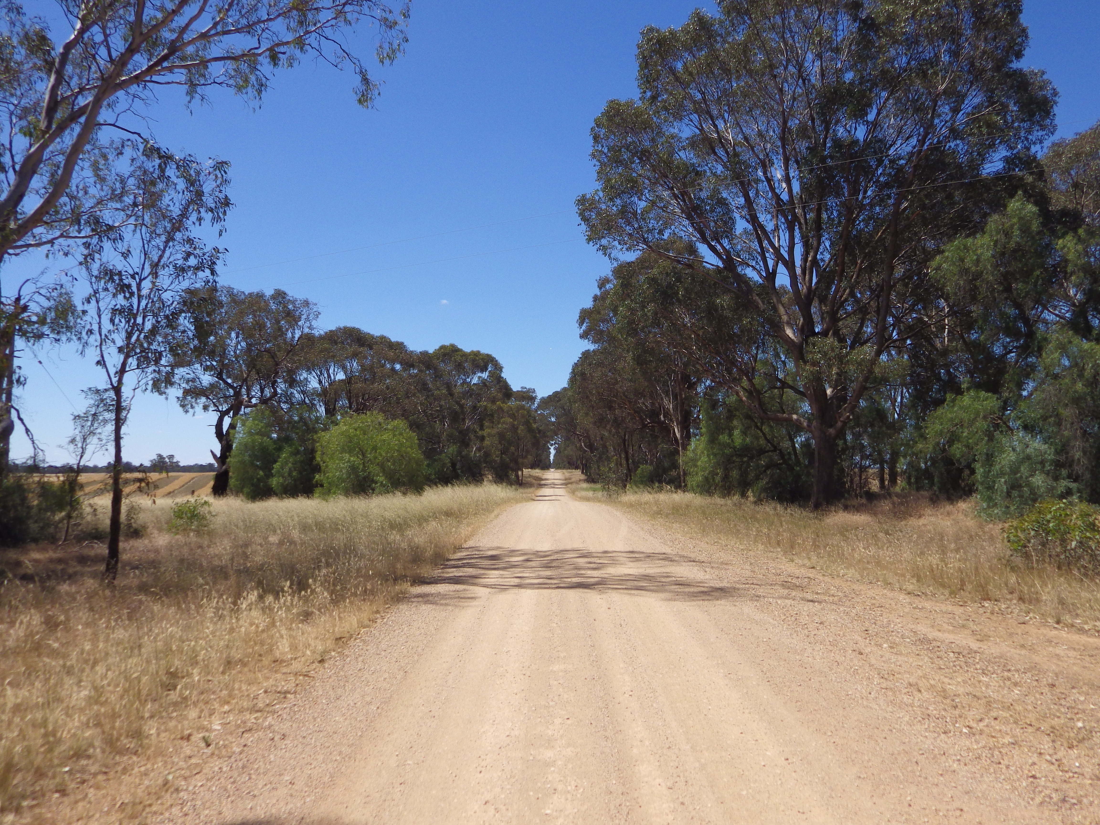
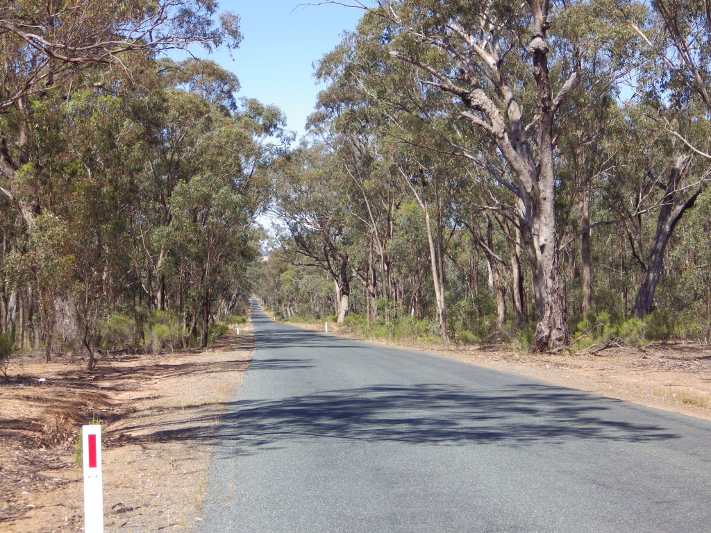
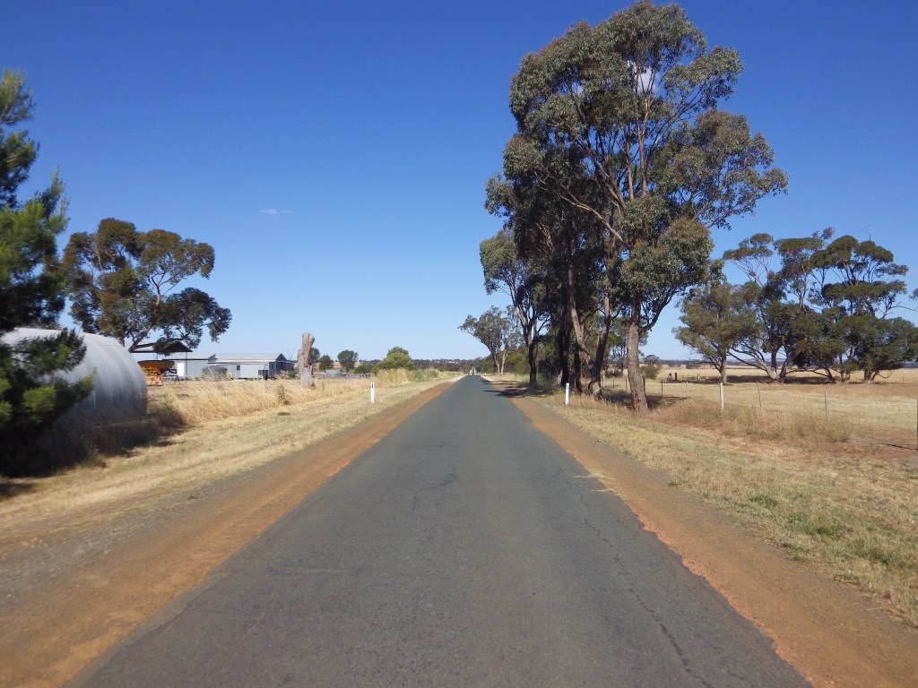
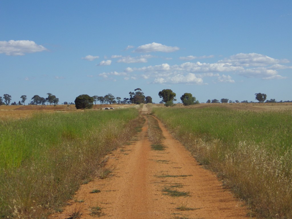
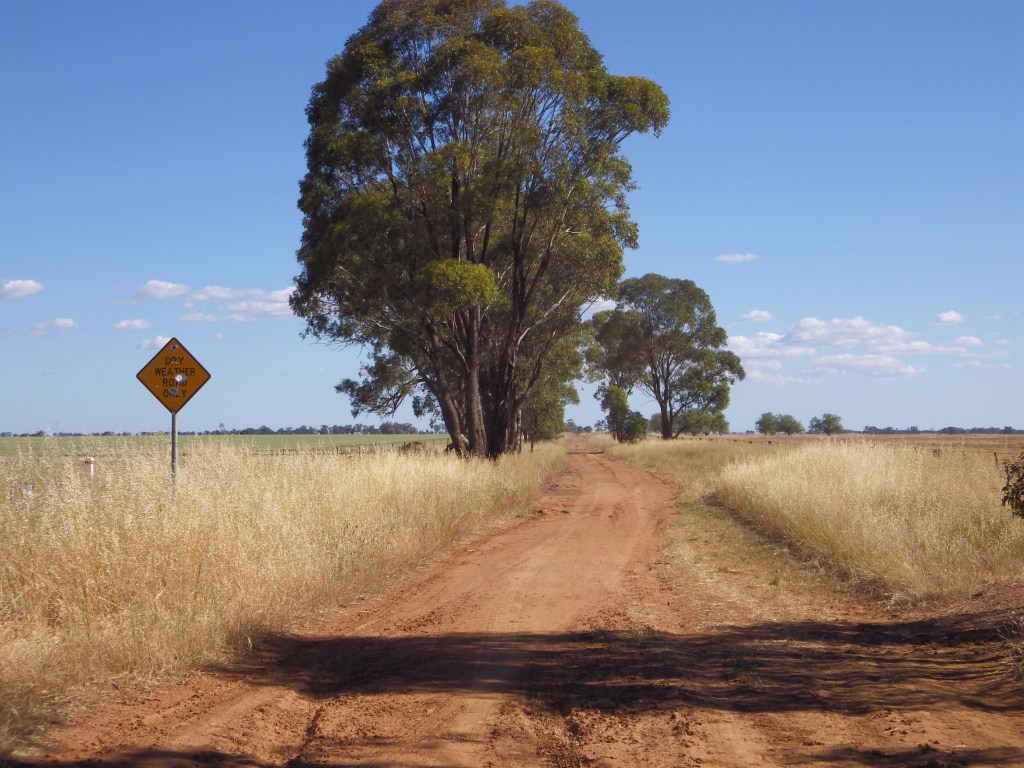
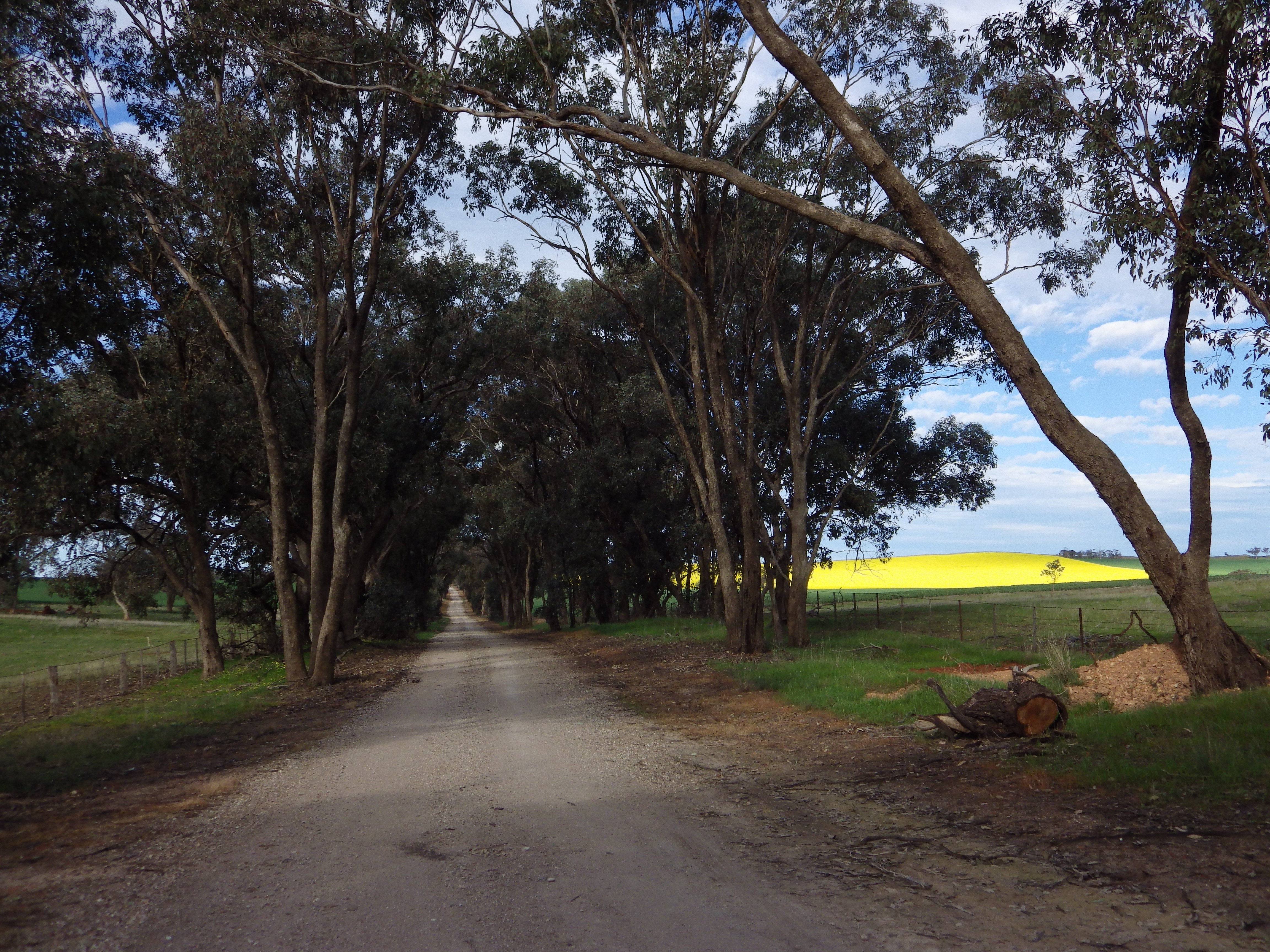
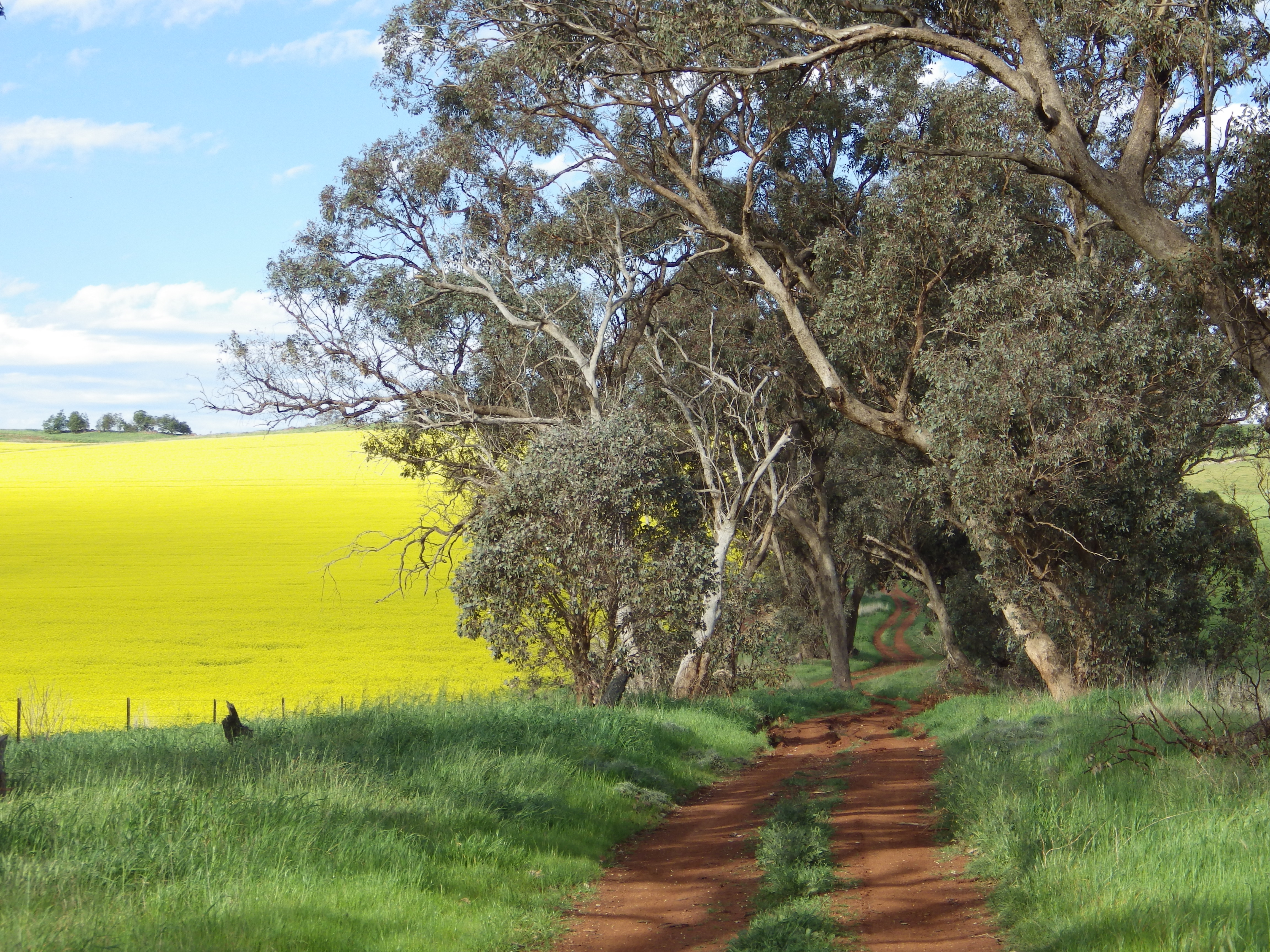
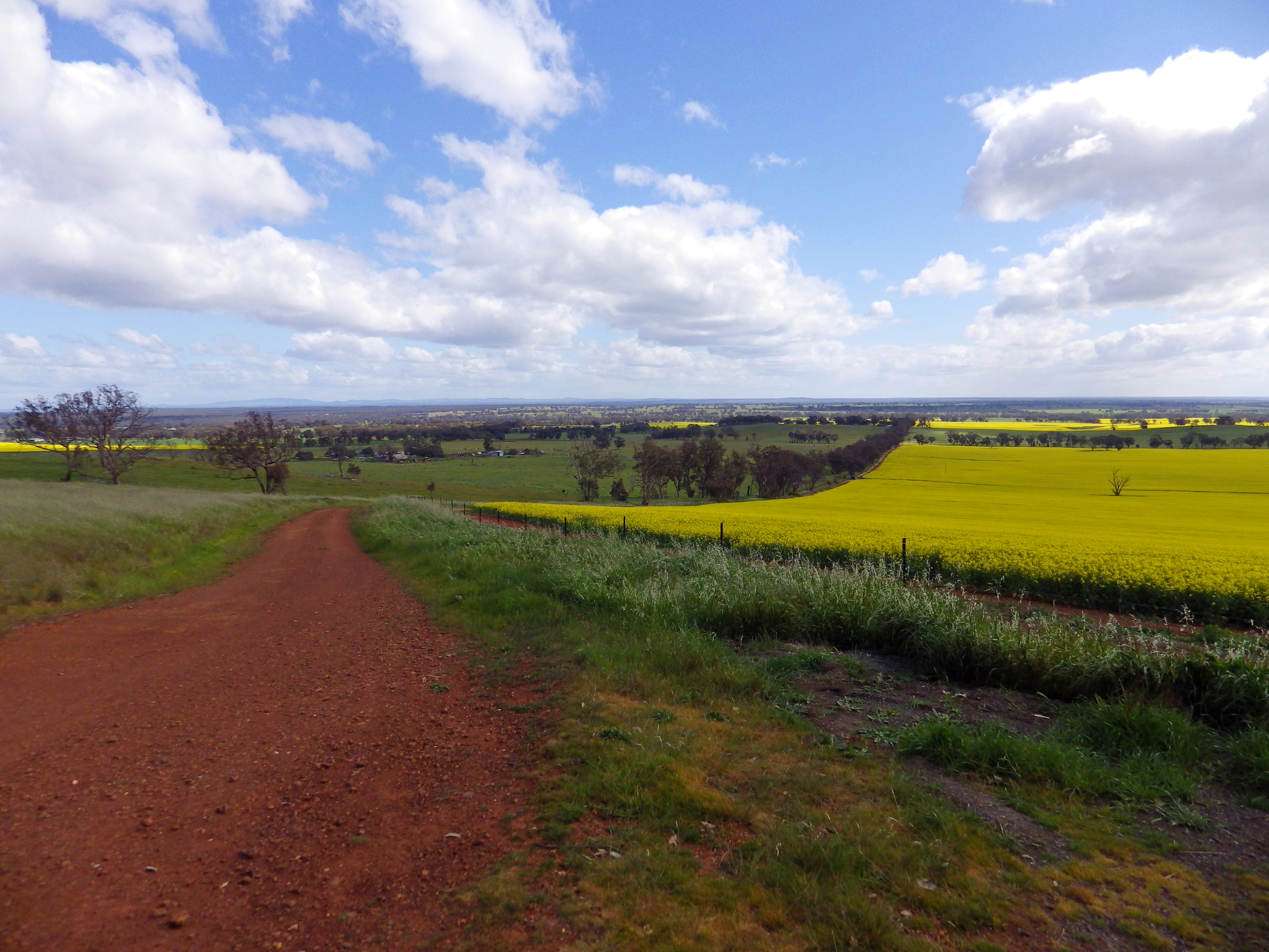
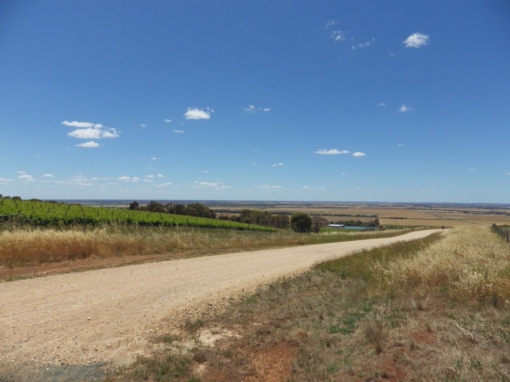
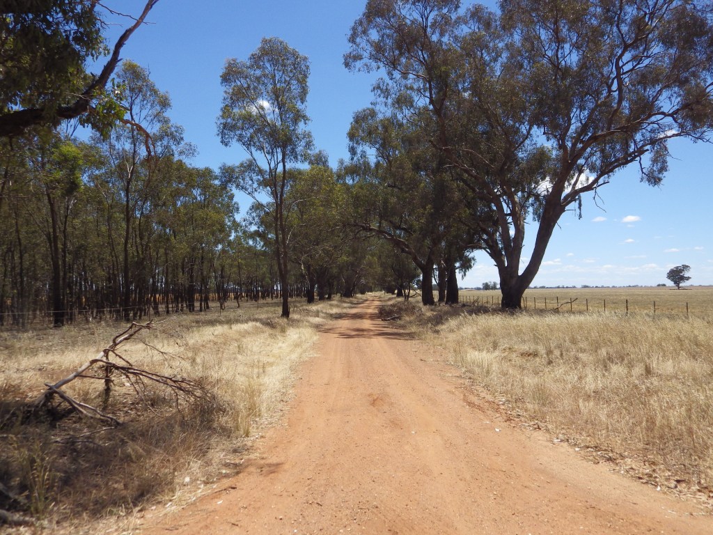
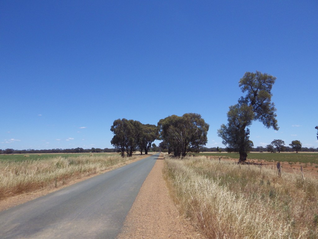
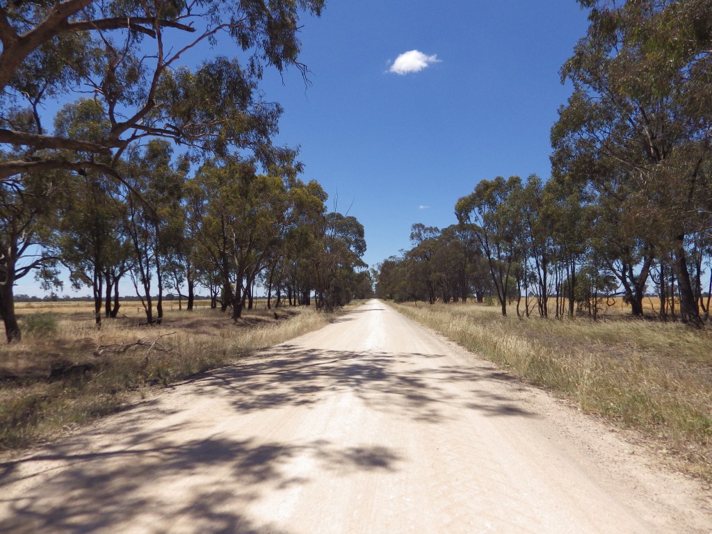
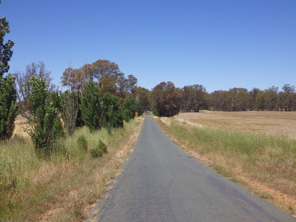
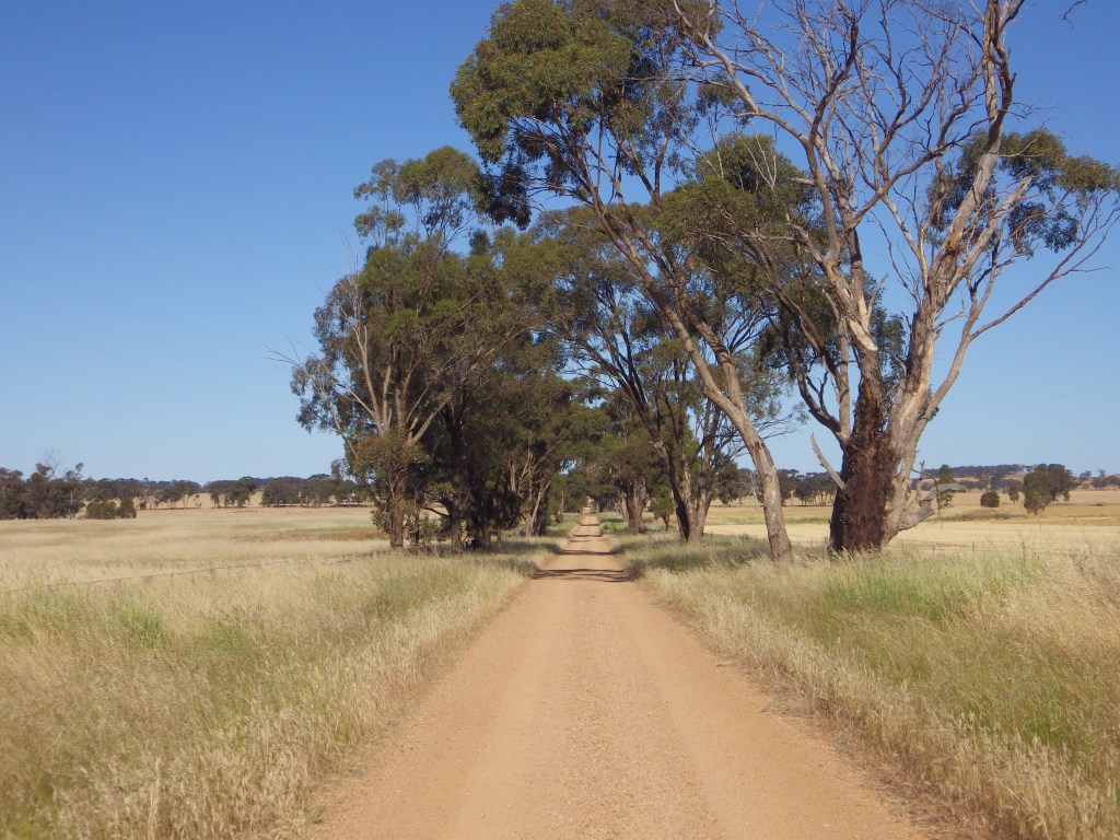
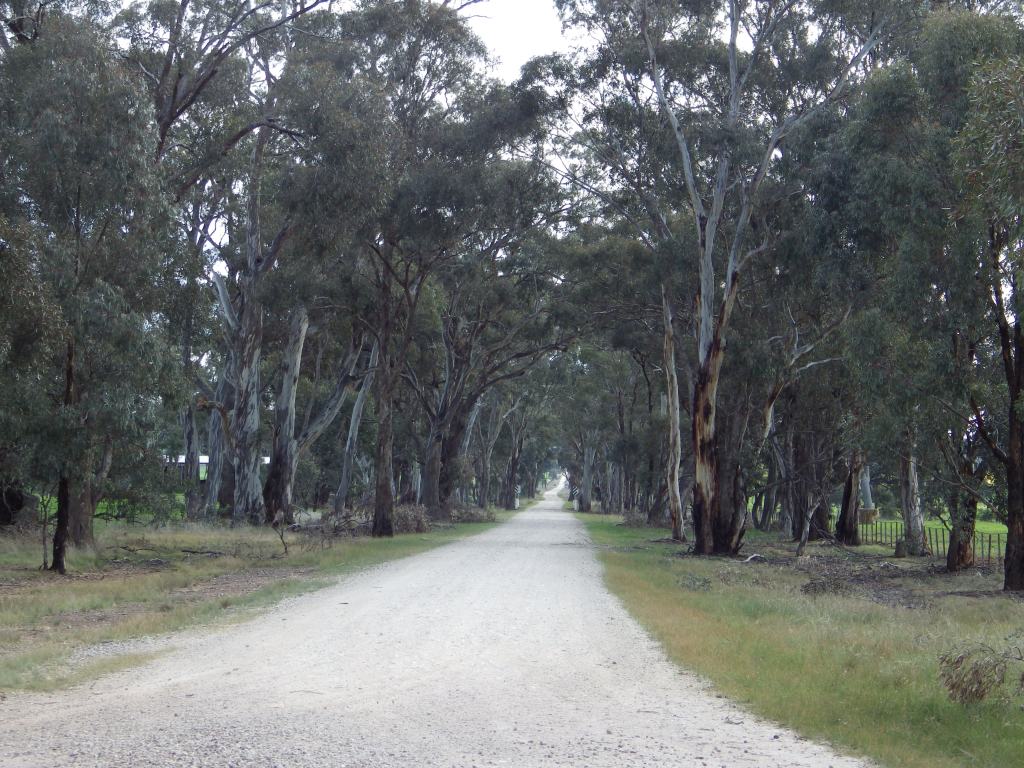
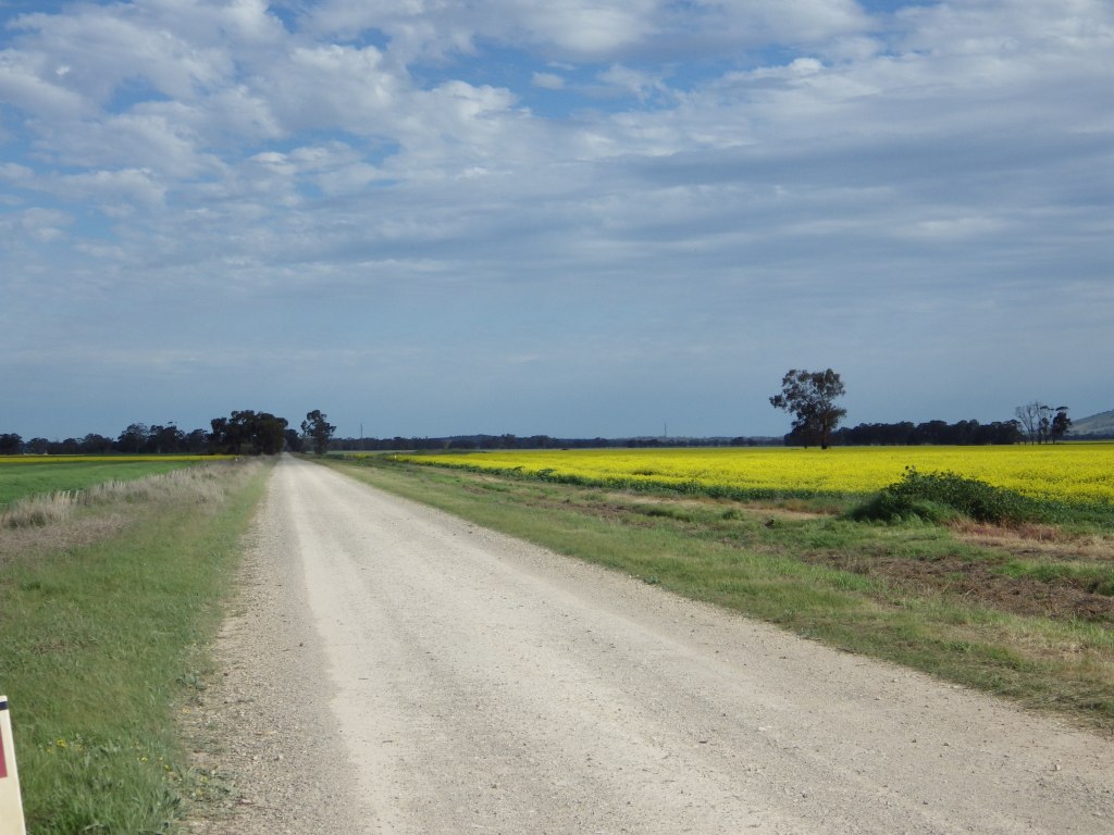
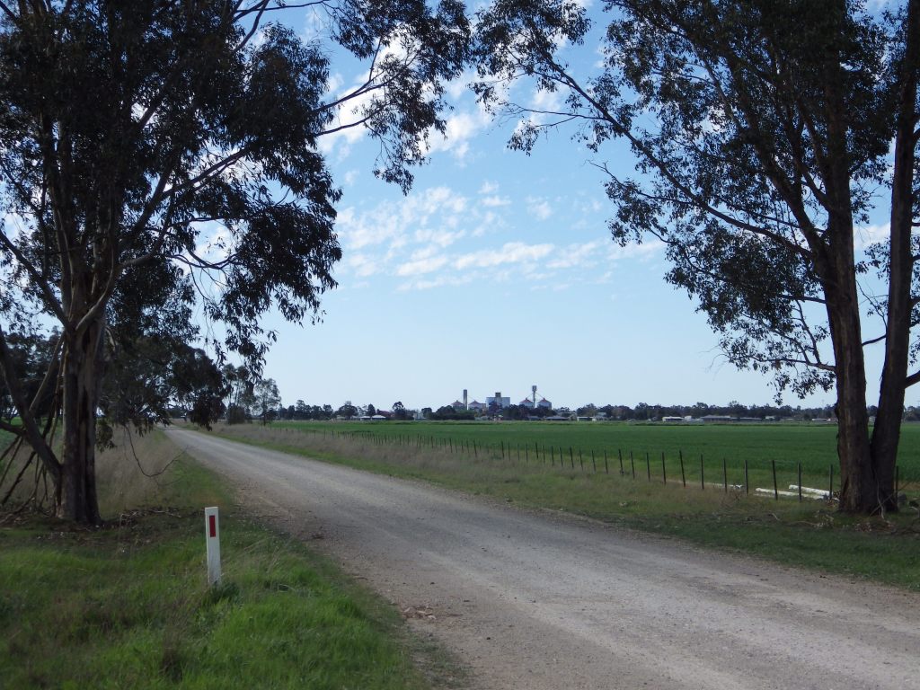
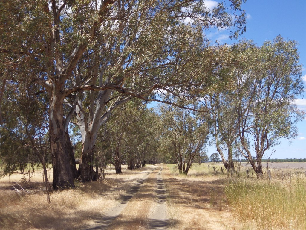
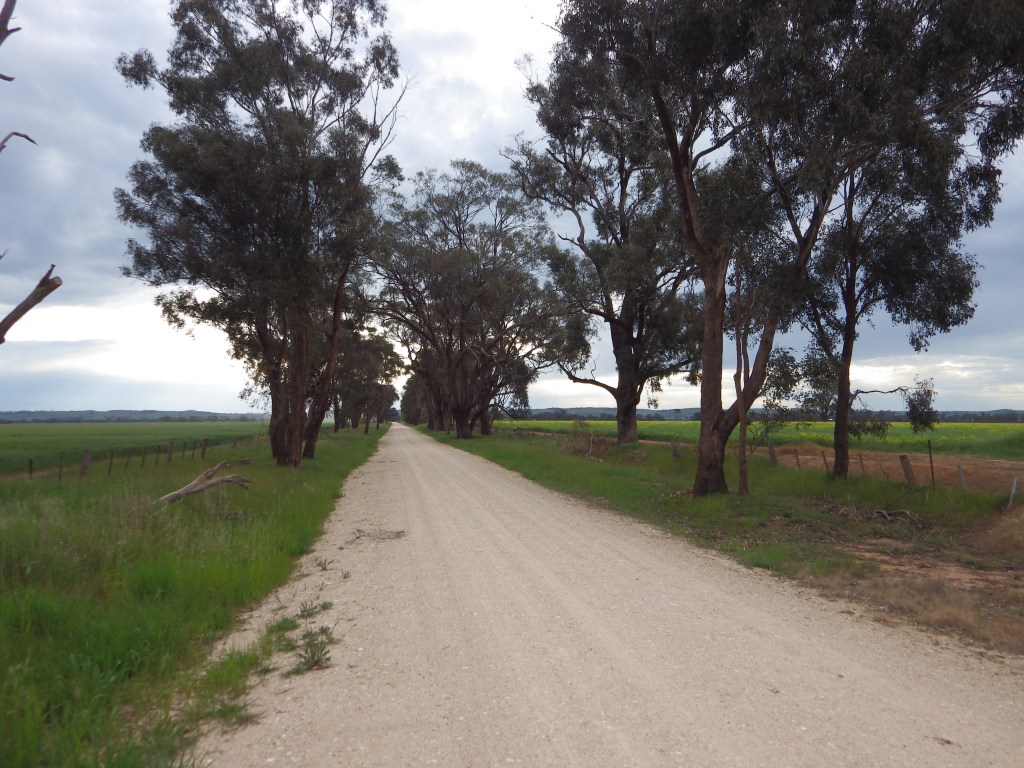
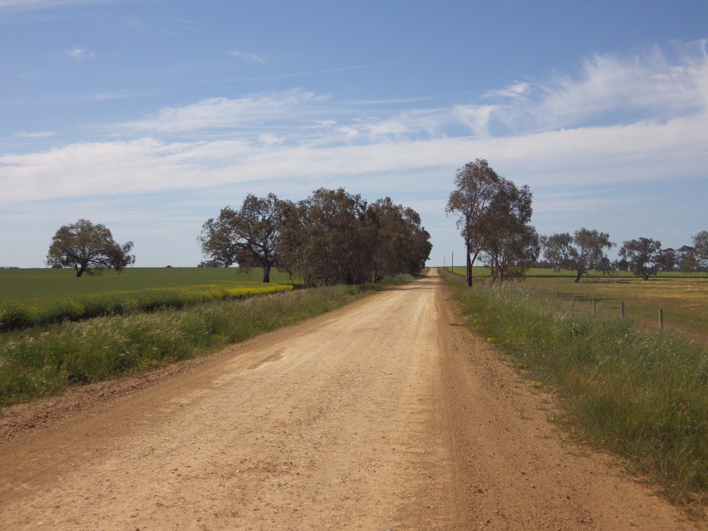
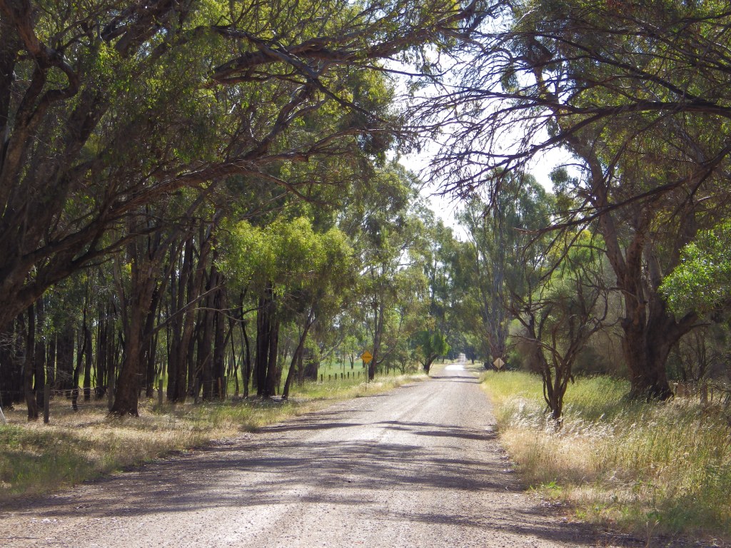
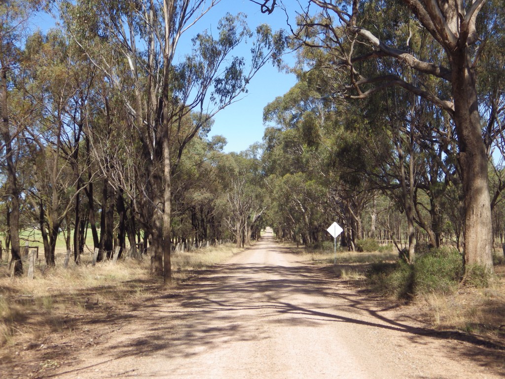
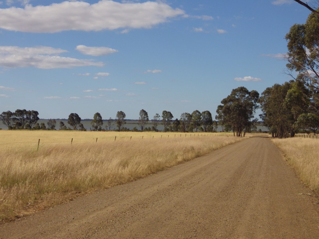
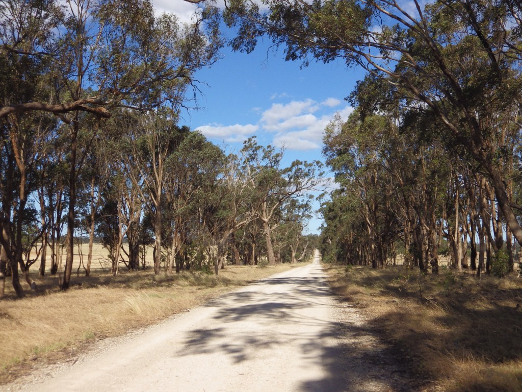
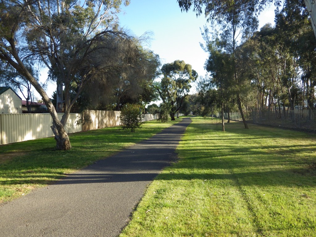
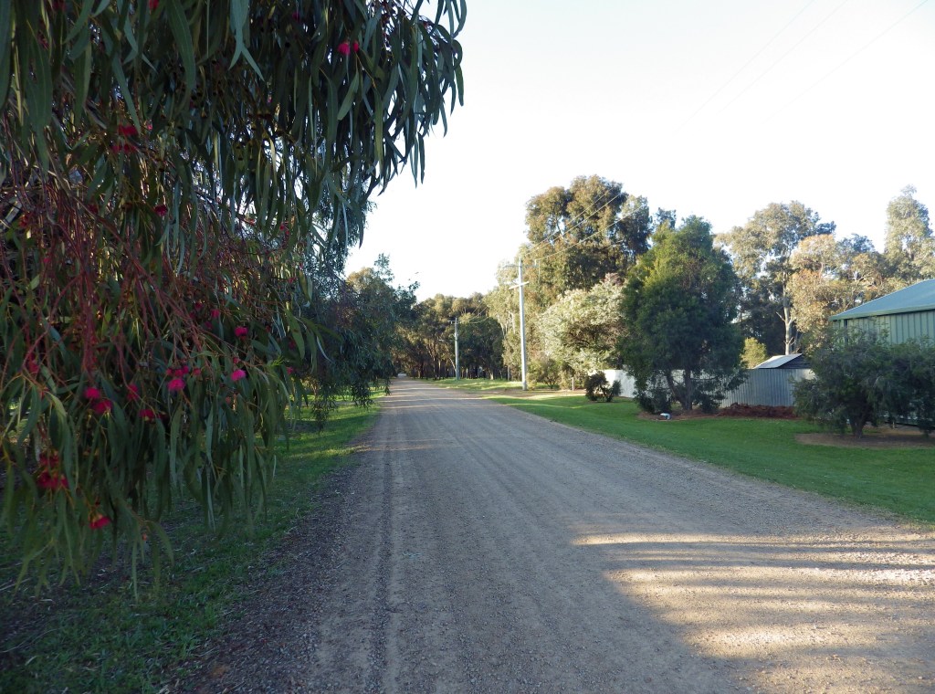
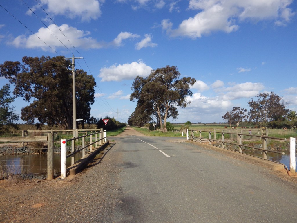
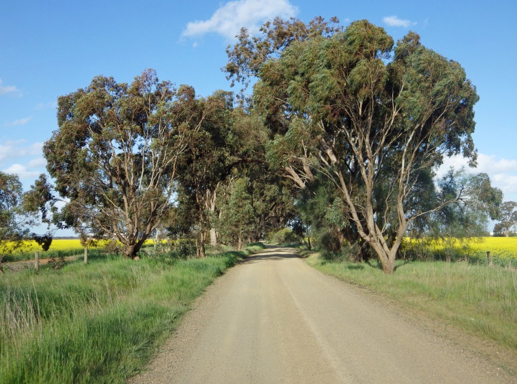
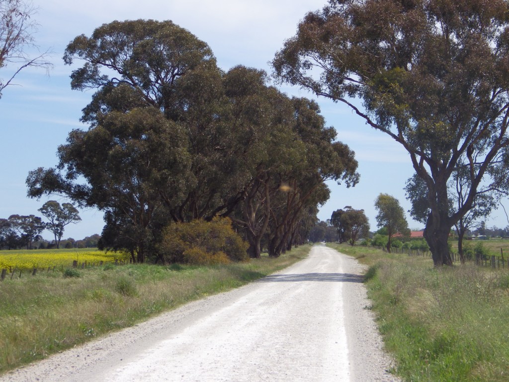
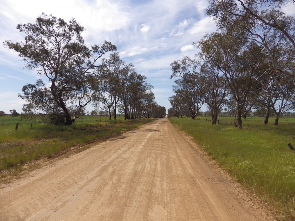
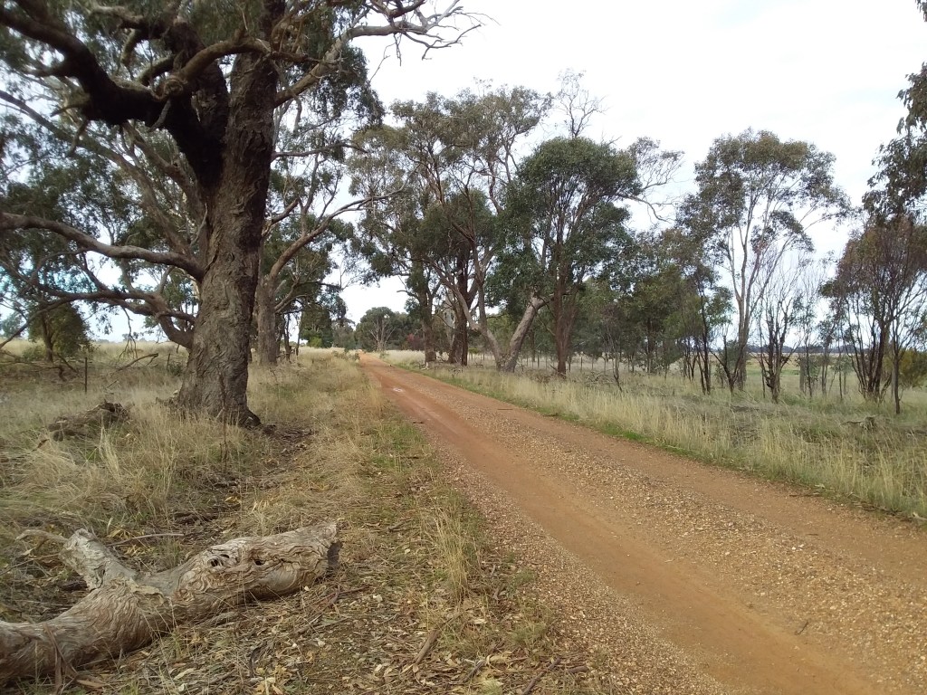
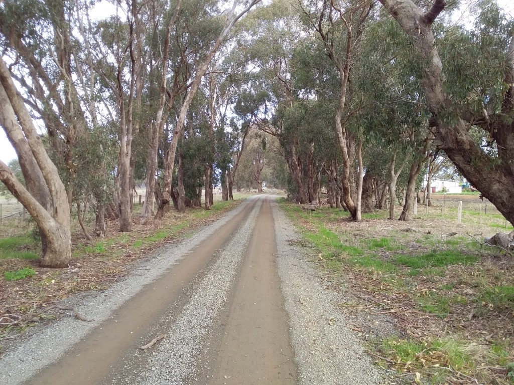
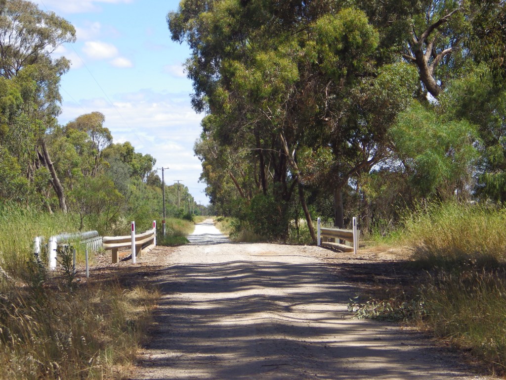
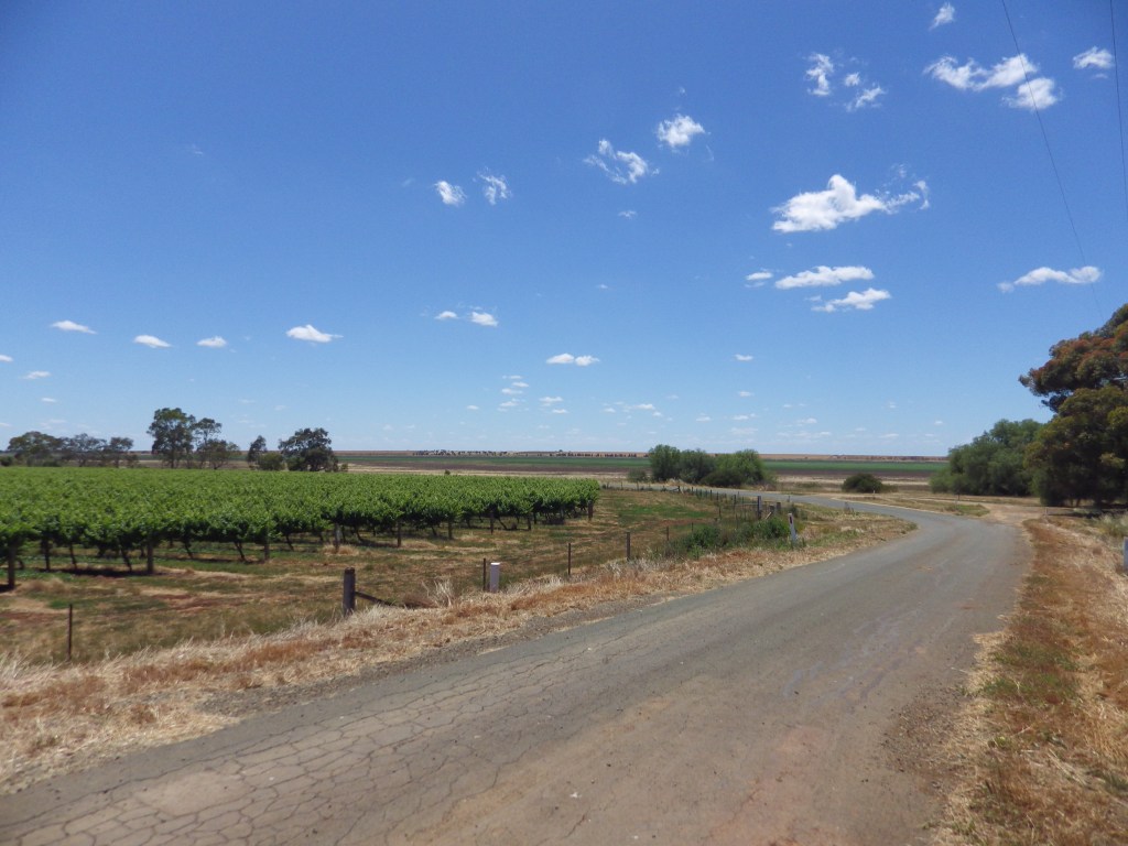
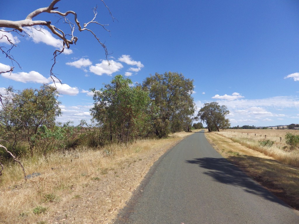
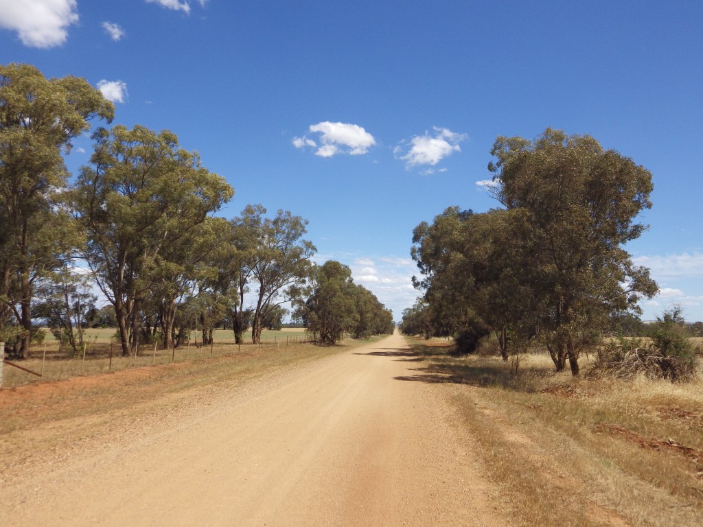
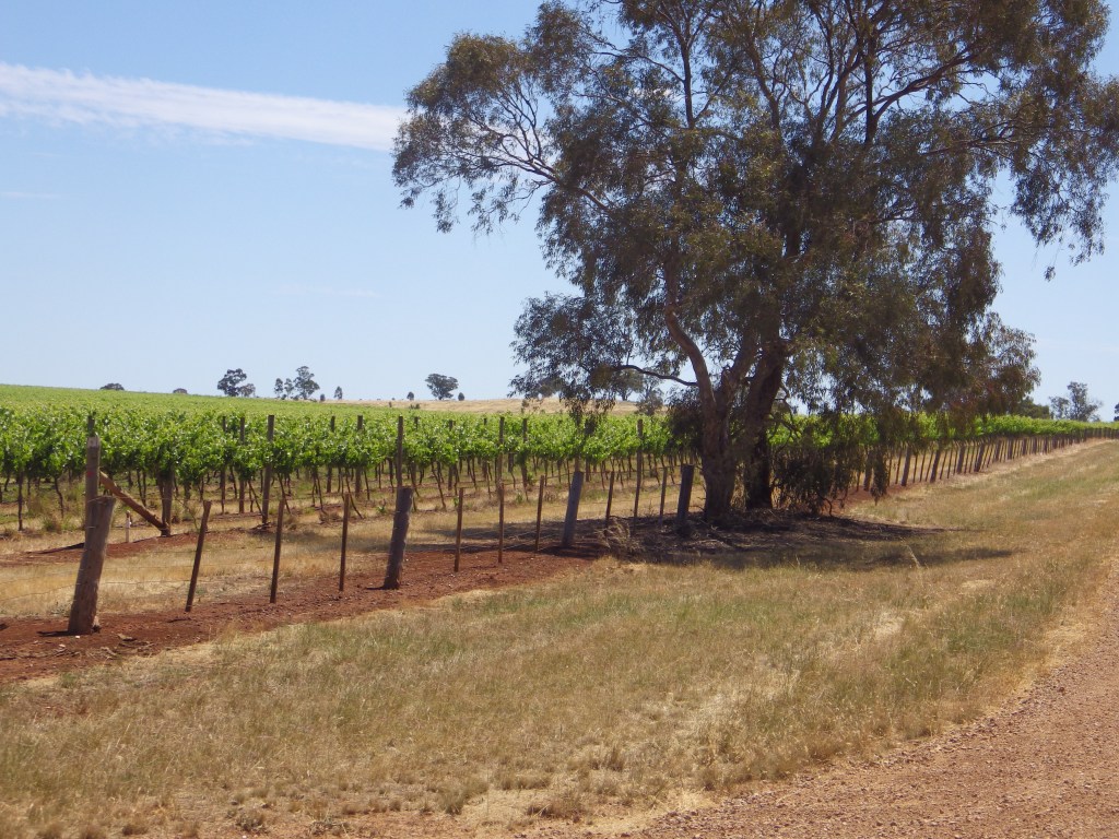
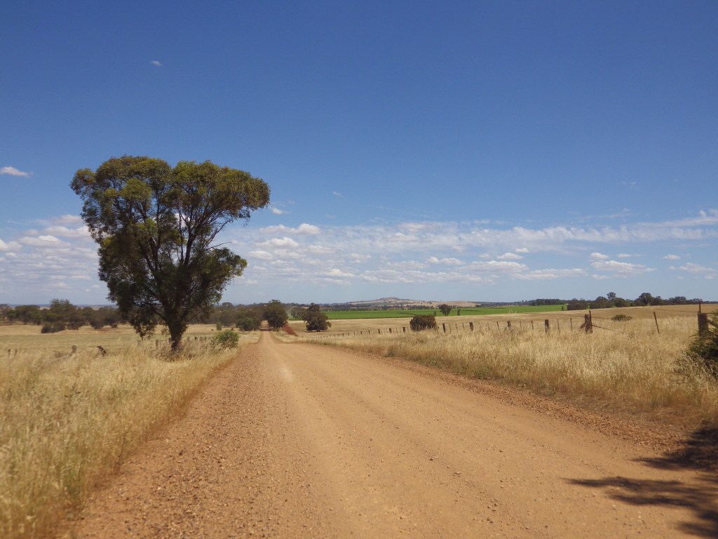
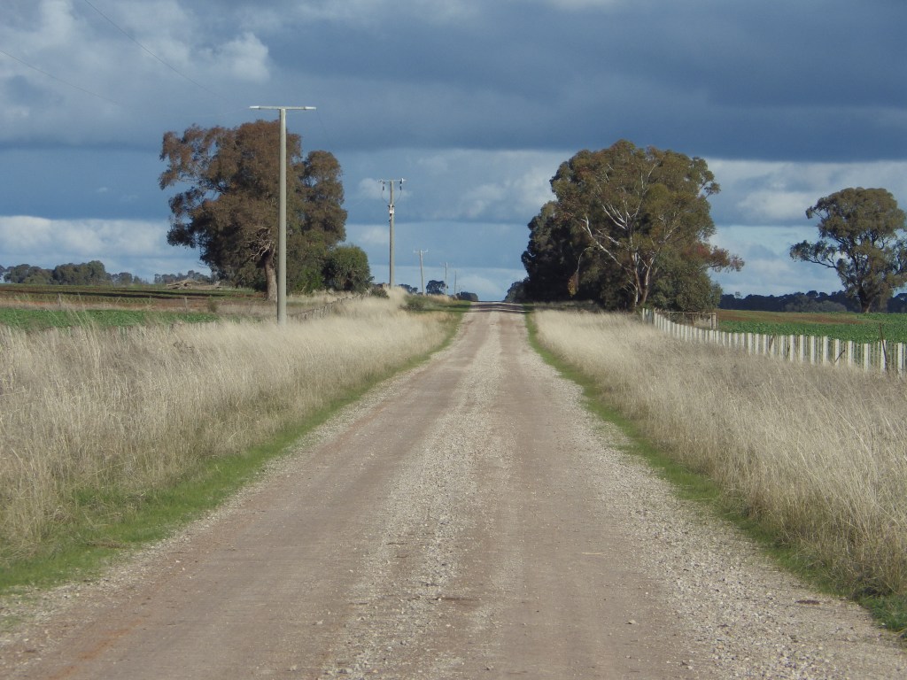
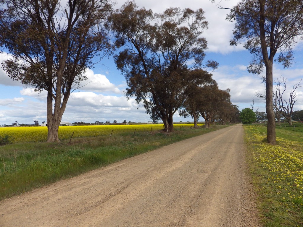
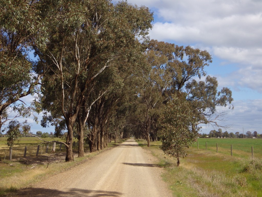
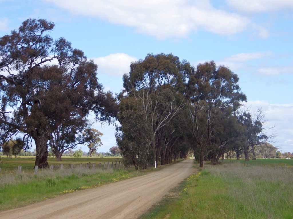
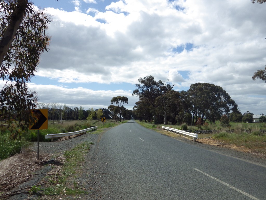
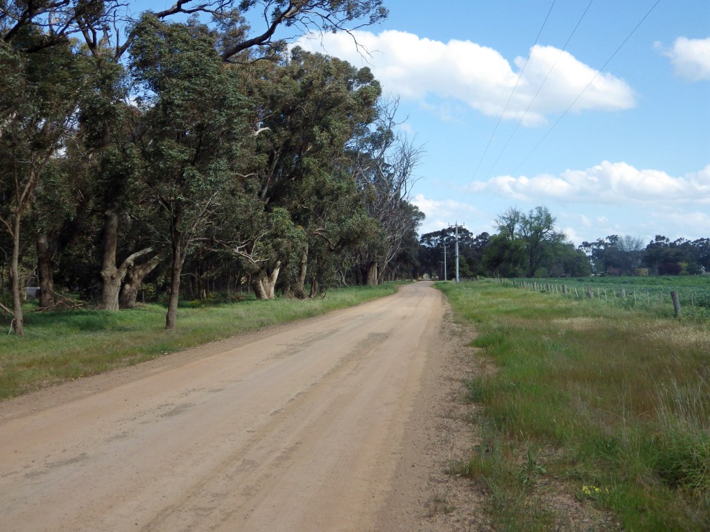
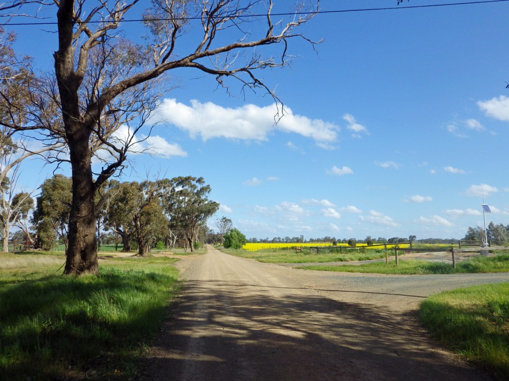
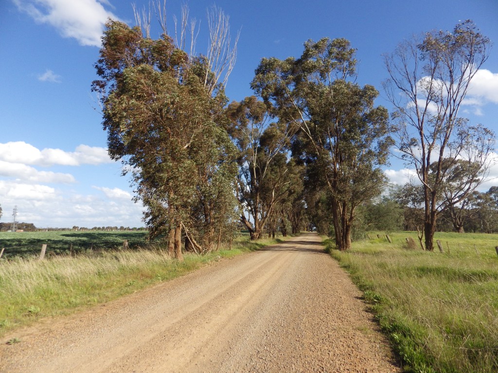
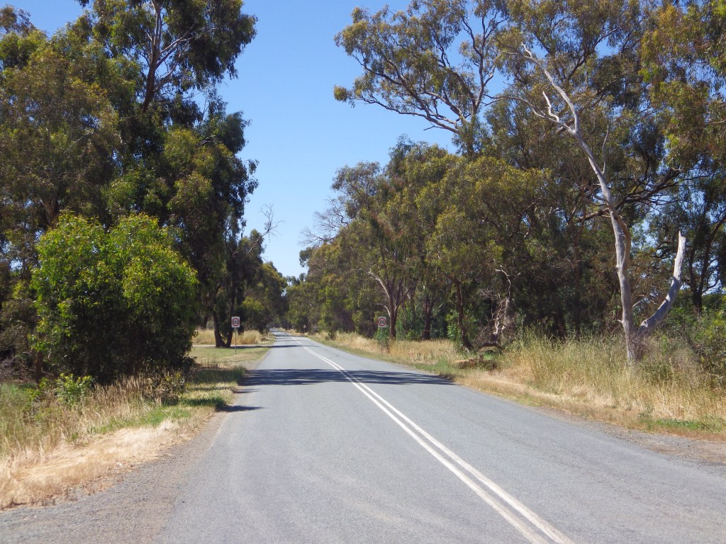
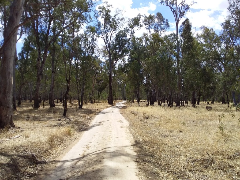
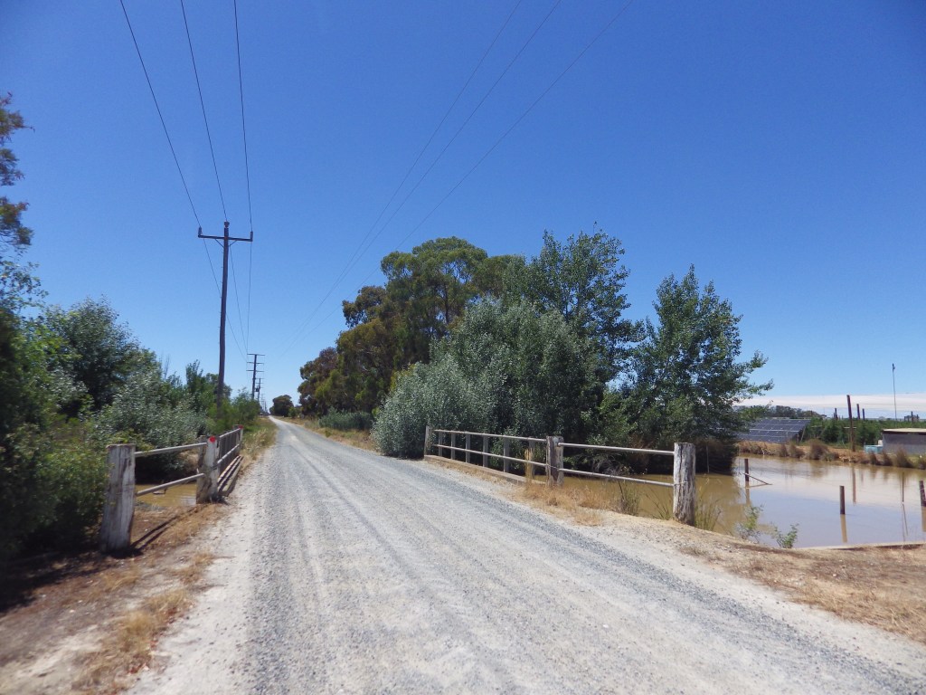
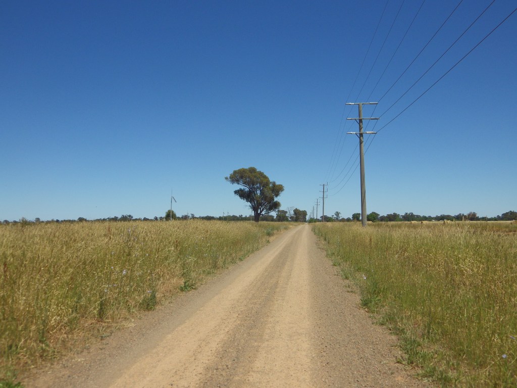
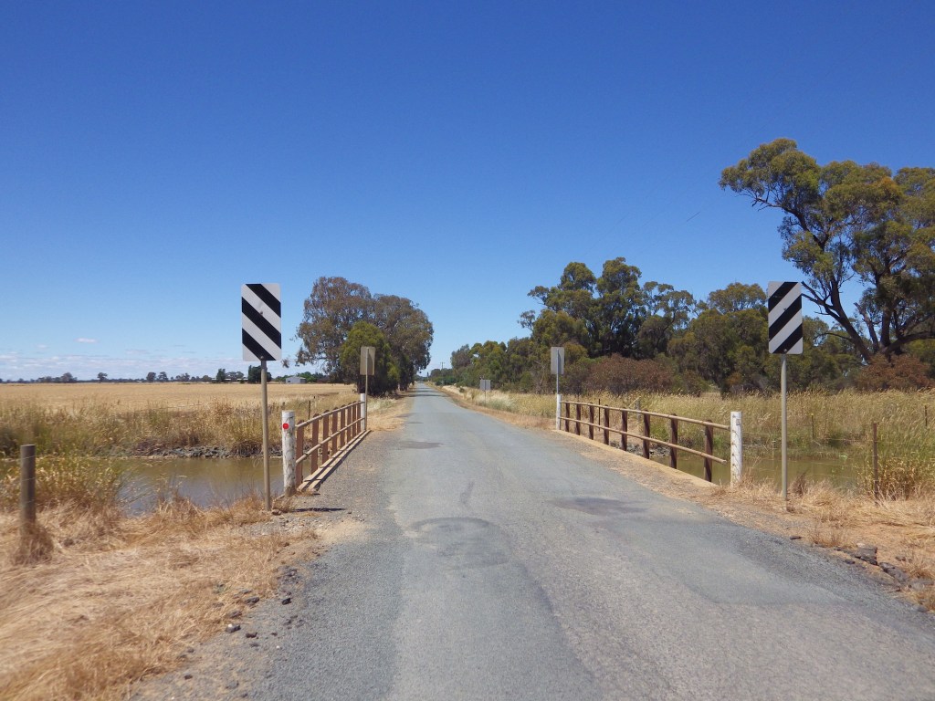
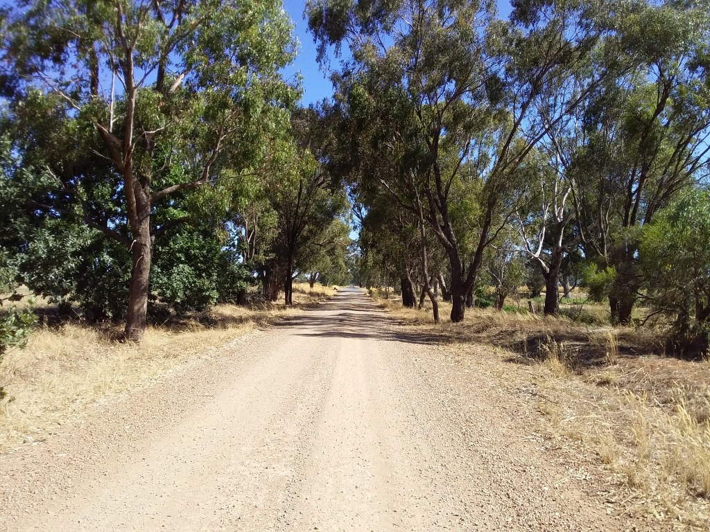
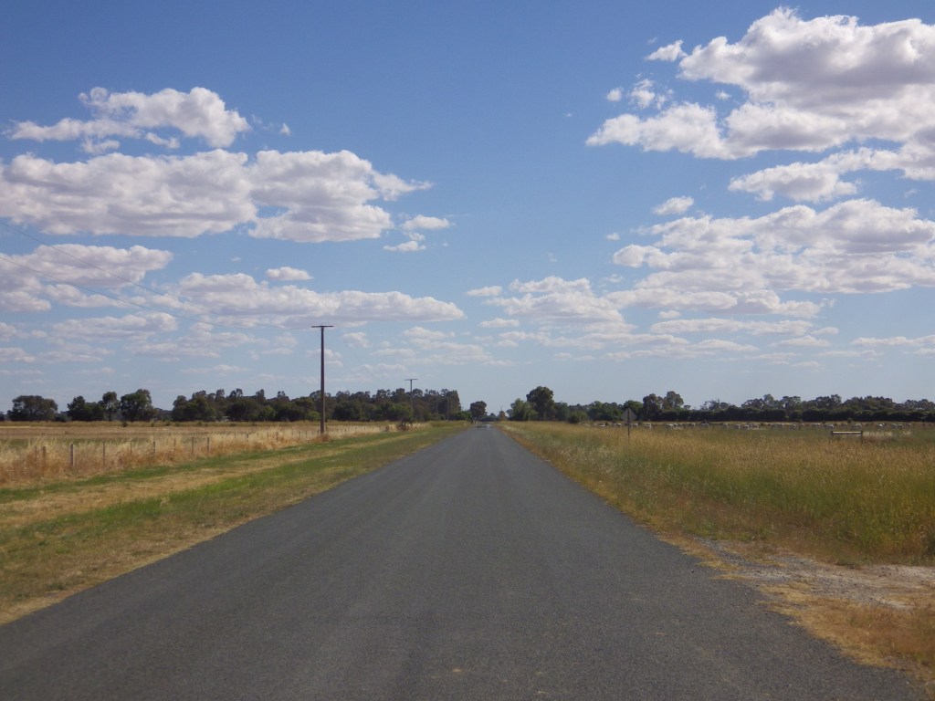
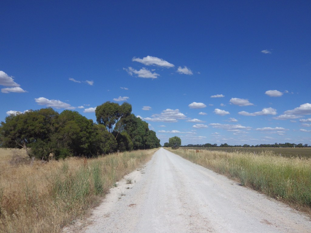
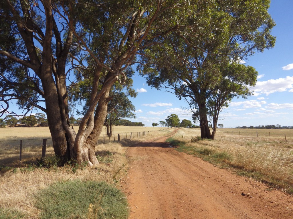
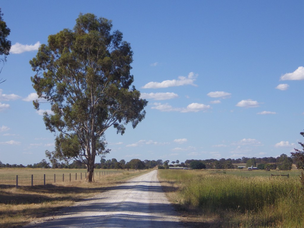
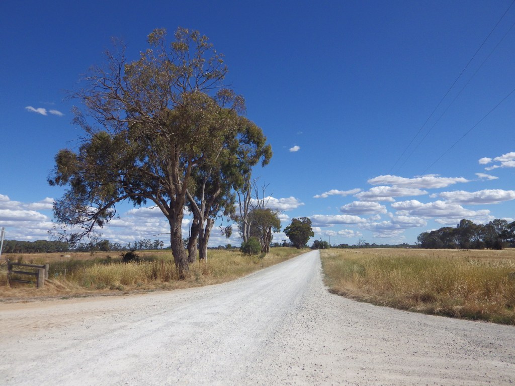
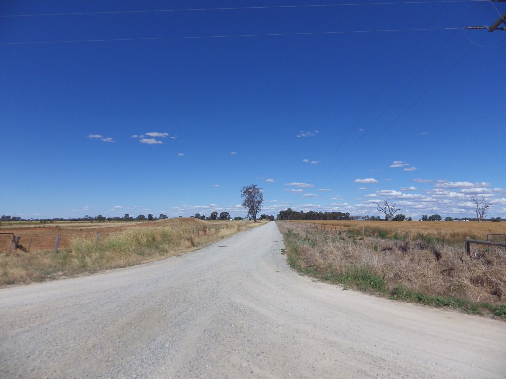
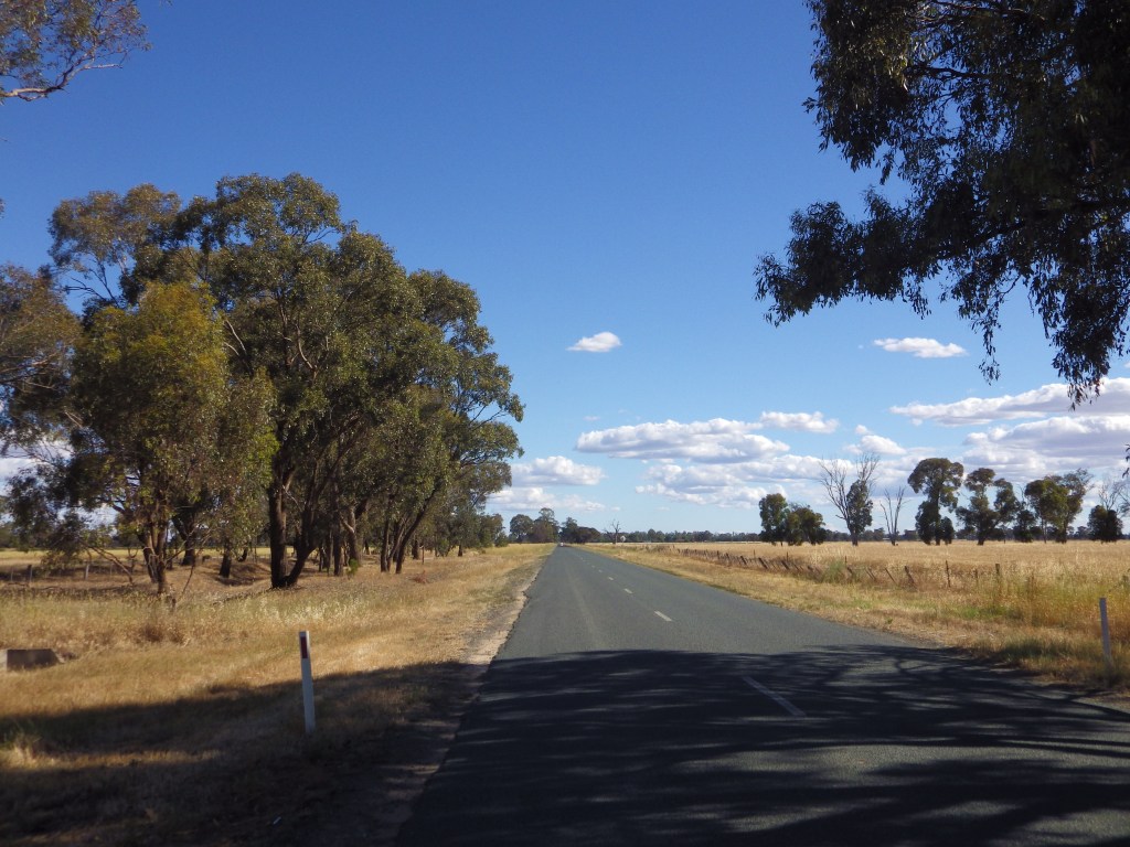
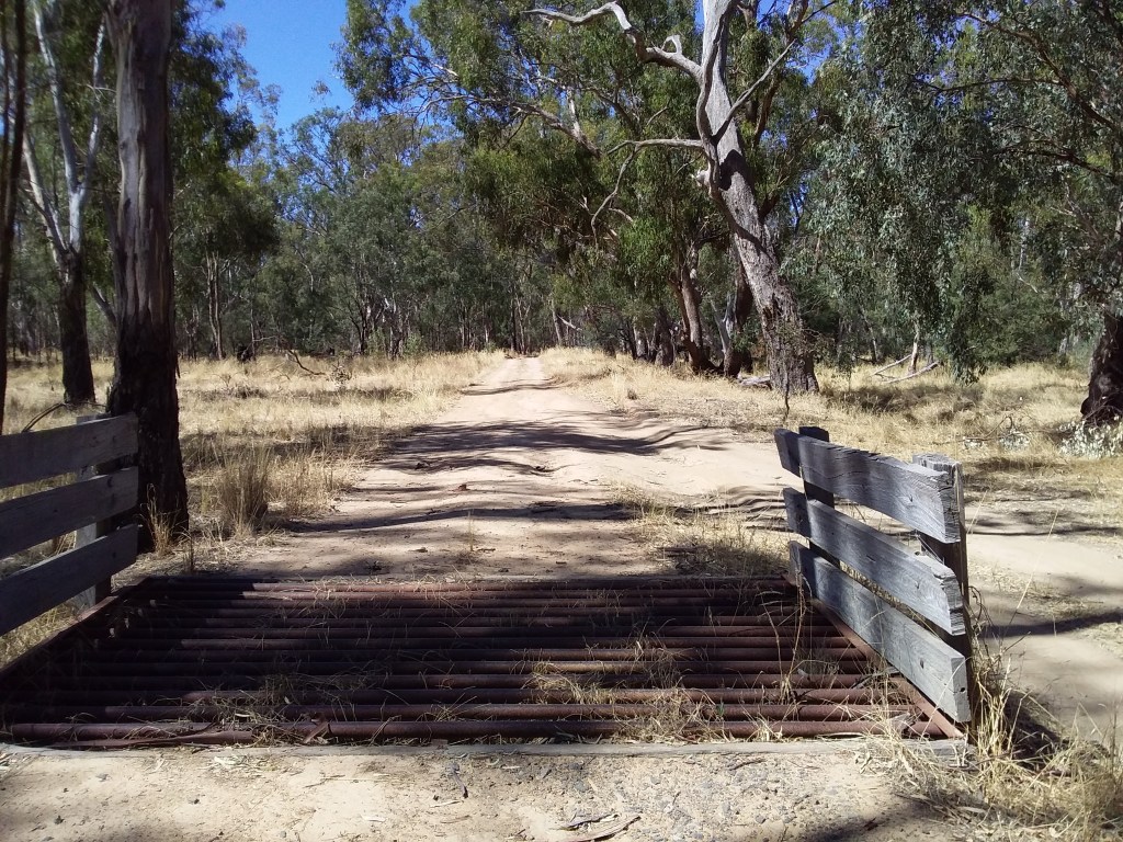
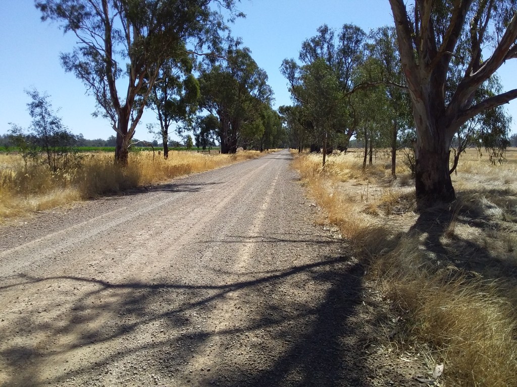
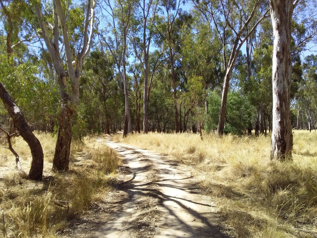
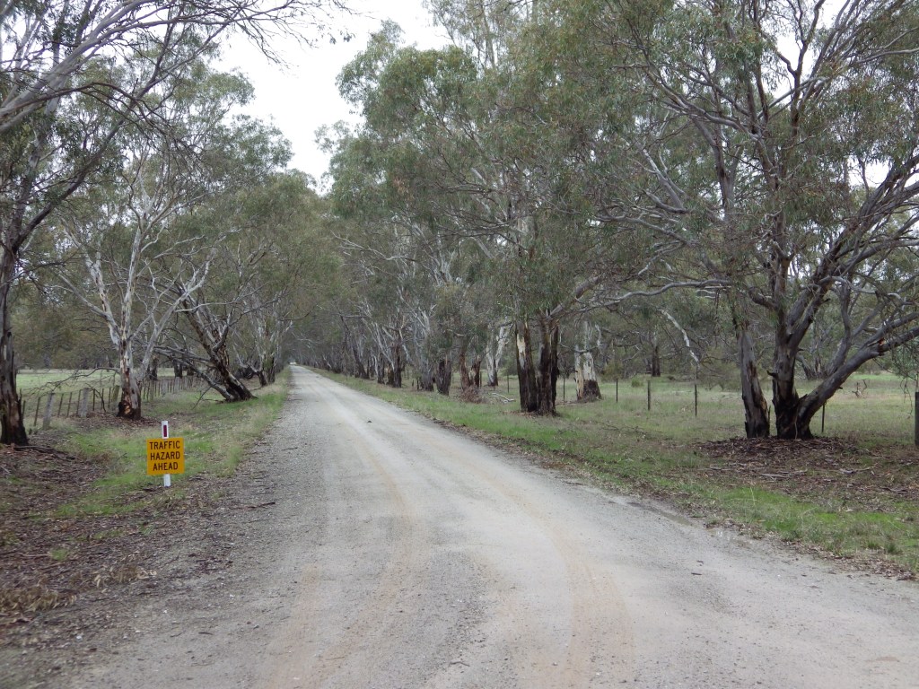
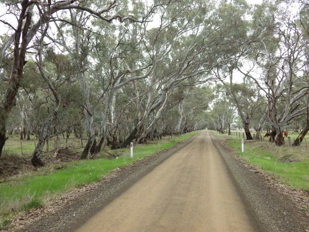
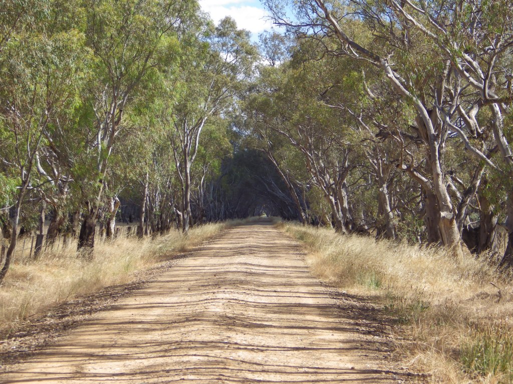
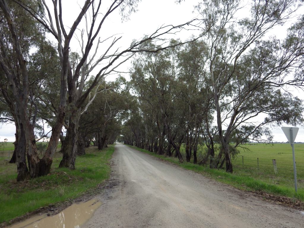
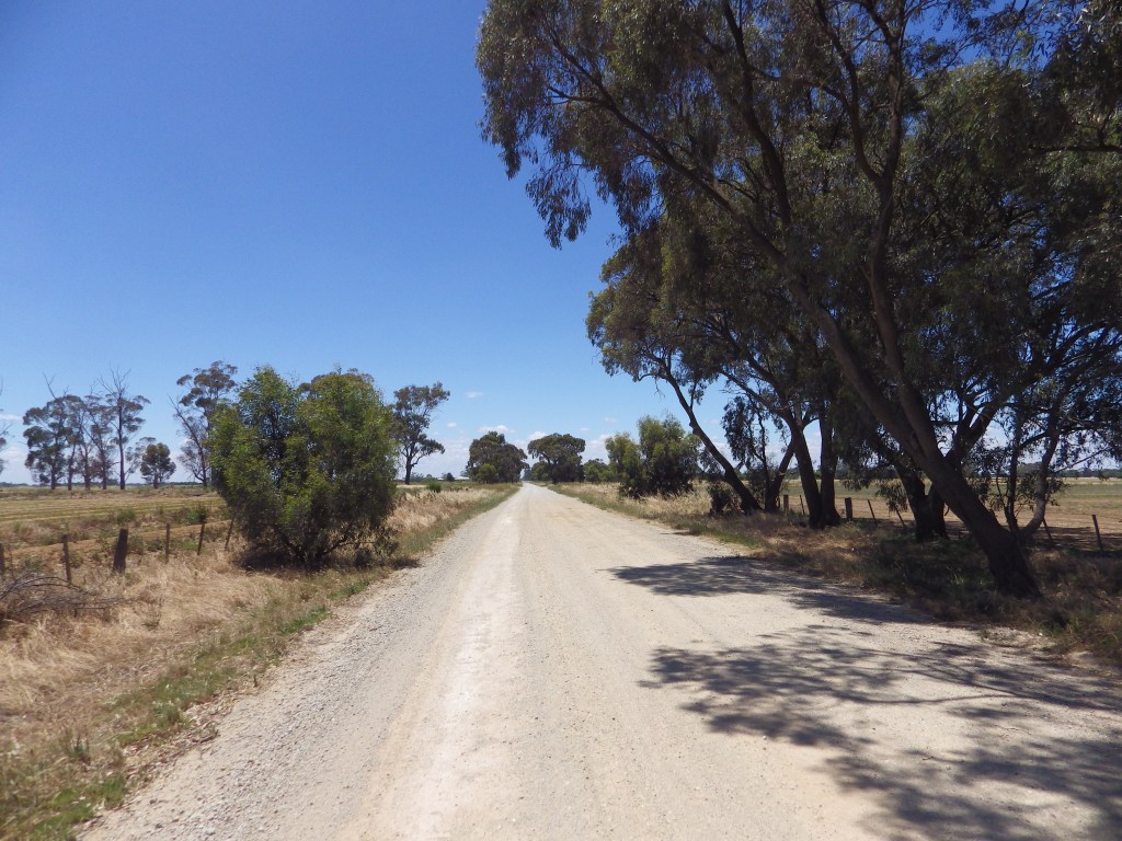
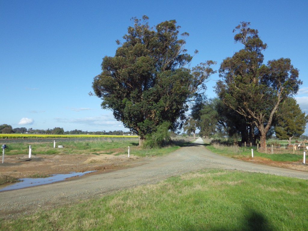
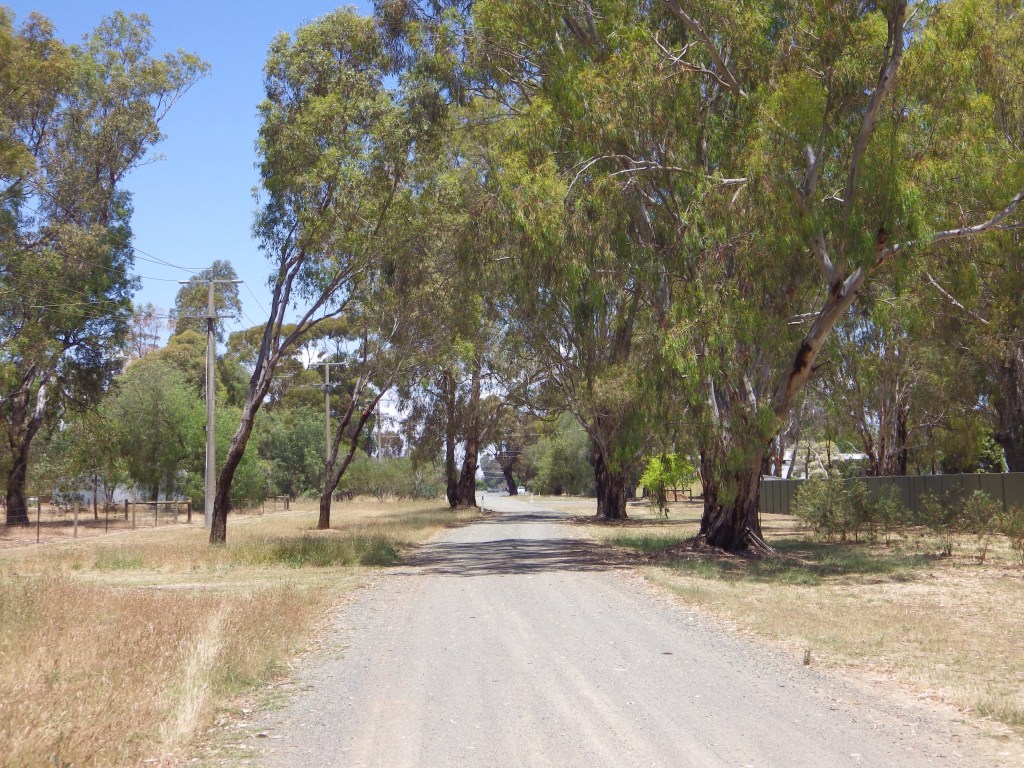
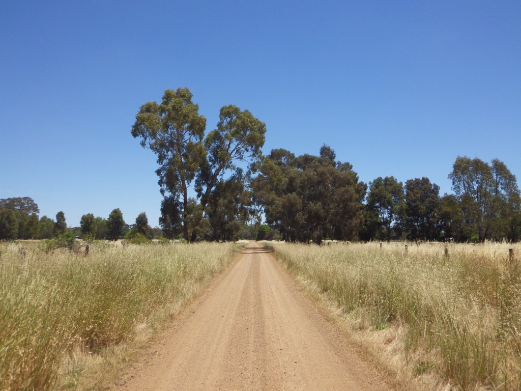
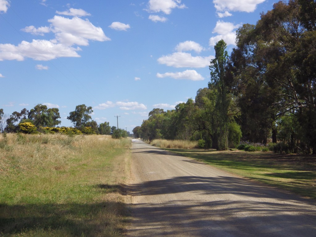
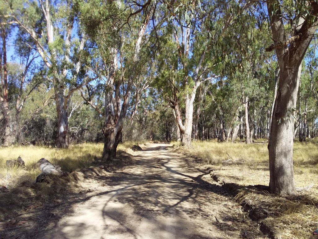
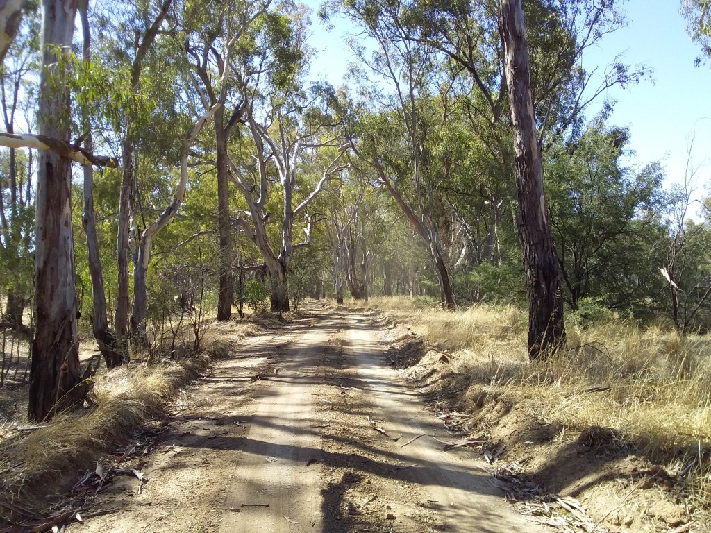
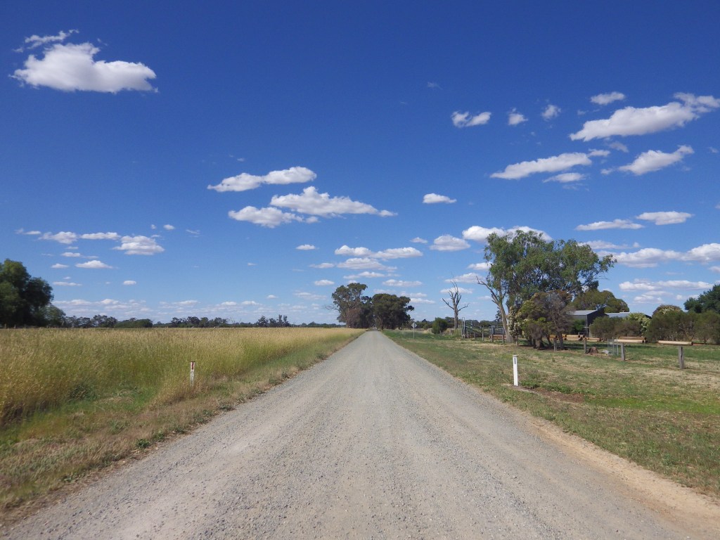
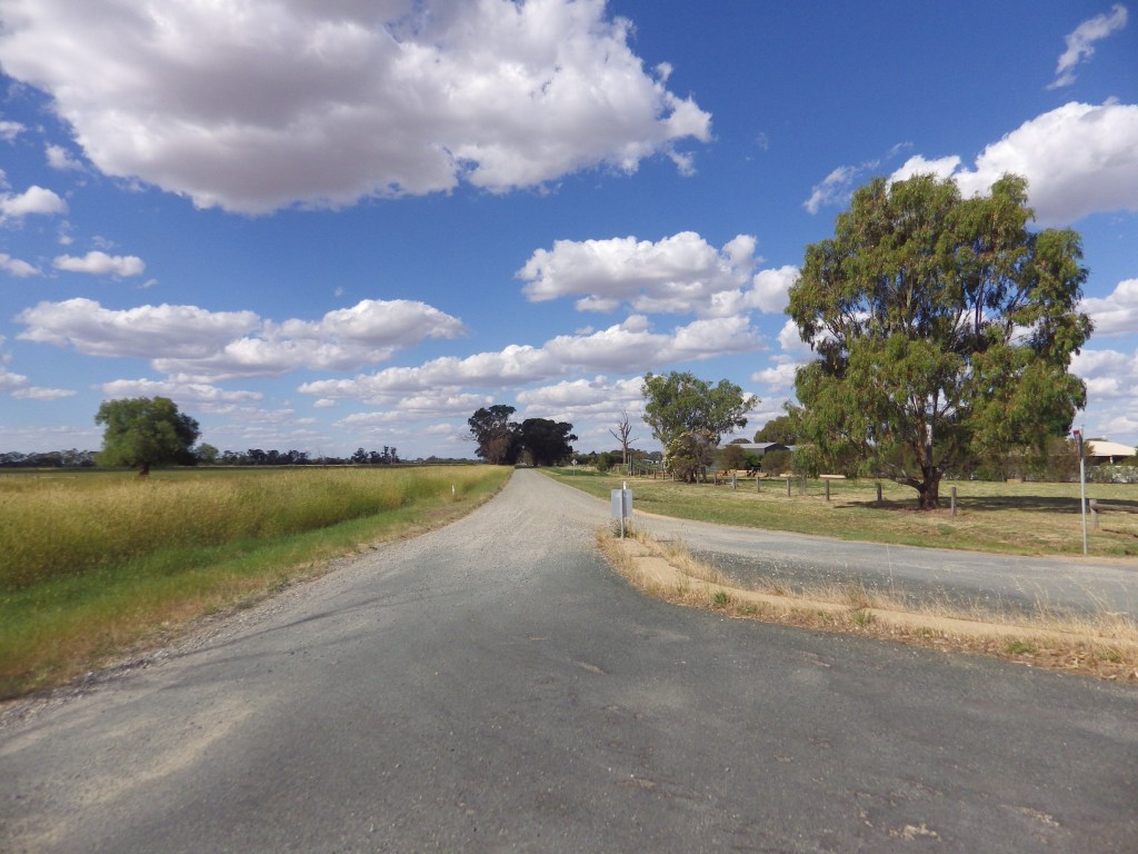
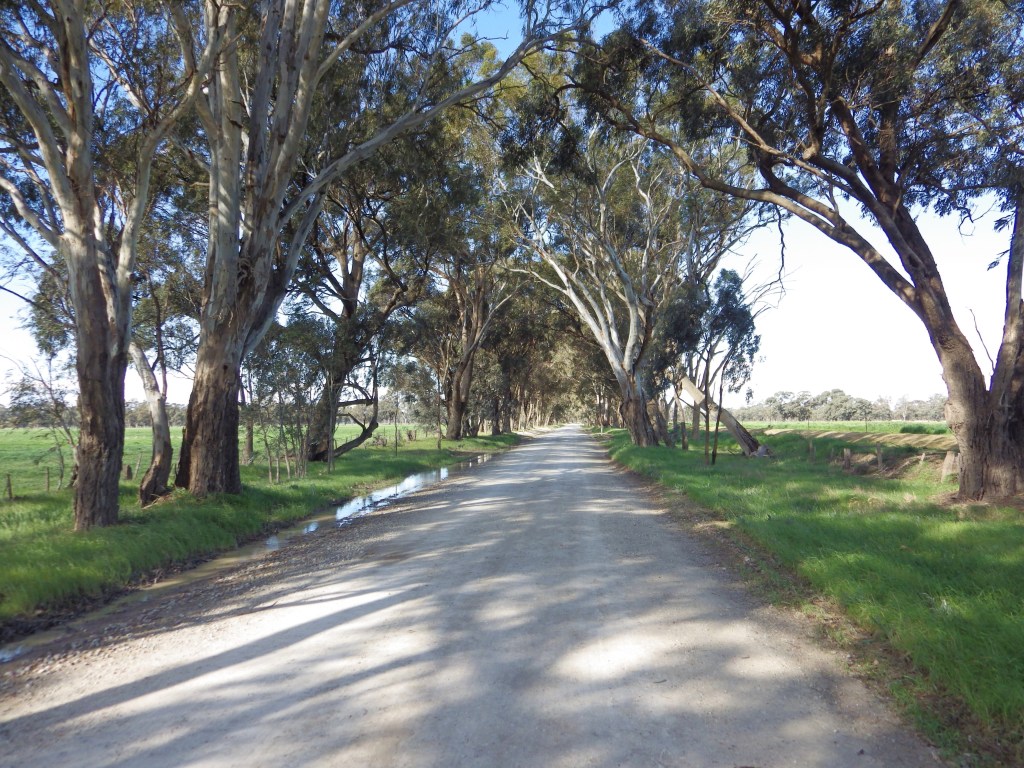
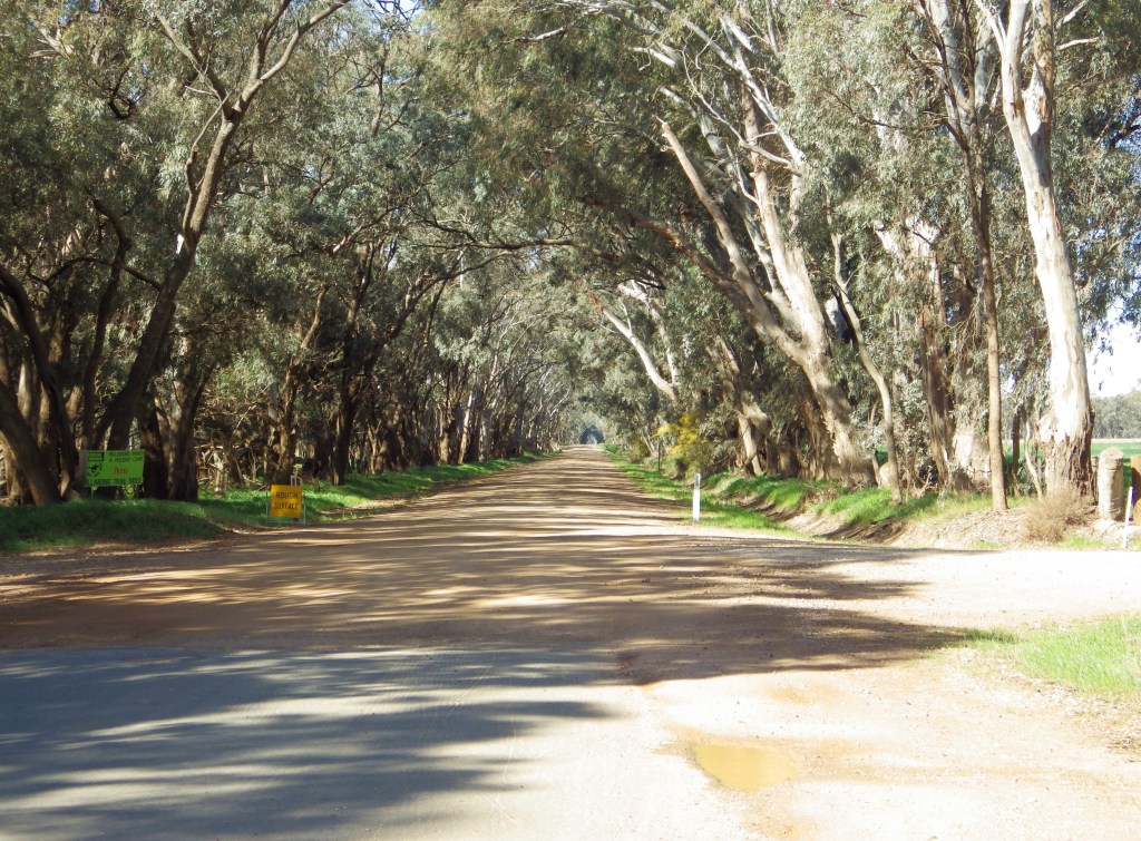
The building blocks of the GABCY Network are 50 to 90 km loops that interconnect. The aim for each loop was to find the most scenic backroads. Each loop sought to avoid traffic and main roads. They also included places for food, drink, and accommodation along the way. The loops include many gravel backroads. Occasionally, there are earthen lanes to avoid traffic. These features add to the scenic and adventure experience of your ride.
In the map above, the orange routes along the south of the GABCY area are pre-existing. These routes include the Goldfields Track, O’Keefe Rail Trail, and Great Victorian Rail Trail. The GABCY Network links up with these existing routes.
The interconnected loops provide many different riding options:
- Day rides – Individual loops can be ridden as a part-day ride or a full-day ride.
- Overnight / Weekend rides – You can chain 2 or 3 loops together. This creates an overnight or long weekend ride.
- Shorten the daily distance – If a loop is too long, riders can cut across the loop to shorten the distance. Alternatively, they can stay overnight at one end before returning to the start location the next day.
- Long through routes – Riders can choose single legs from a chain of loops. This allows them to make a long through route depending on where they want to go.
- Freelancing – Riders can create new loop options of their own by selecting legs from nearby loops and combining them.
- GABCY Grand Tour – You could try to ride it all. I am not sure how you would combine all the loops and routes. But if each day you ride 1 loop, or a 50-90 km segment, and you do that every day for 3 weeks, you still won’t have ridden it all.
The name GABCY comes from Goulburn CAmpaspe Backroads CYcling Network. It is pronounced GAB-Kee. Melburnians can get around their city using their Myki cards. They use the Myki tram, train, and bus network. Similarly, recreational riders in northern Victoria will travel around using their bikes. They will use the GABCY network of linked backroads.
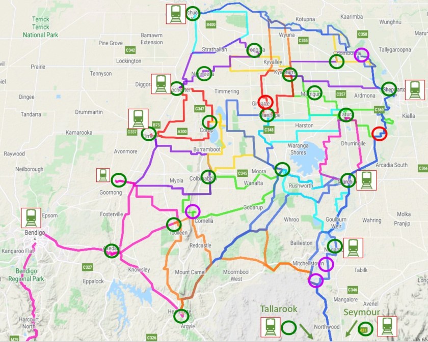
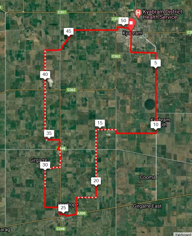
The GABCY Network is well served by trains and amenities, as shown in the map below.
.
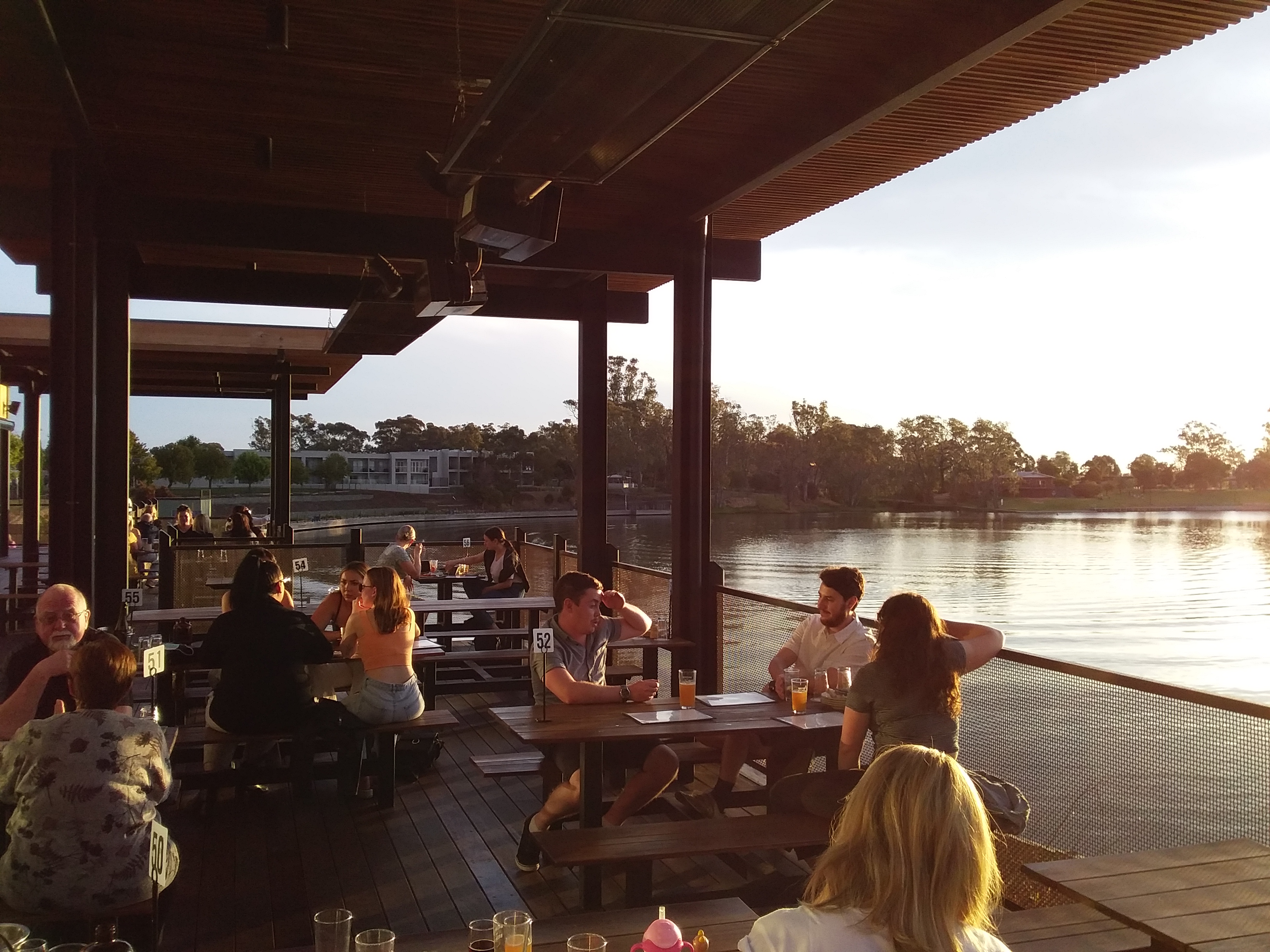
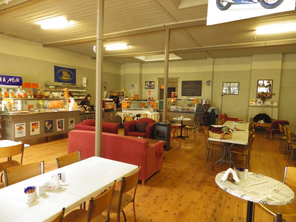
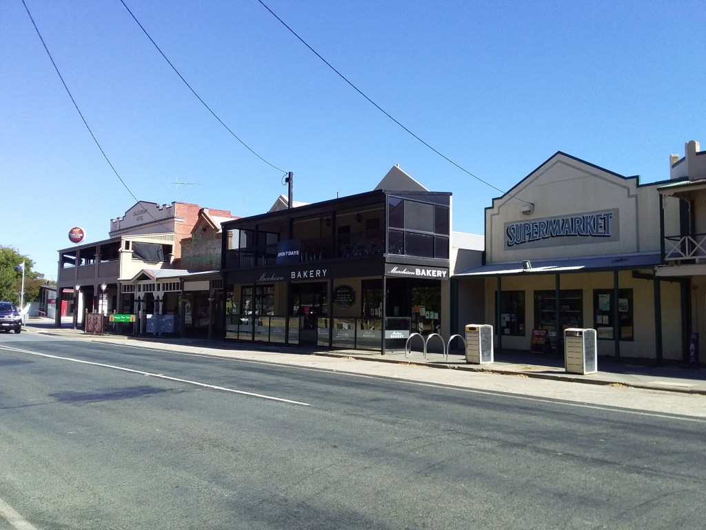
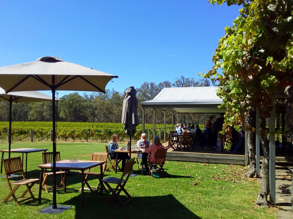
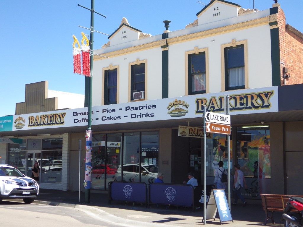
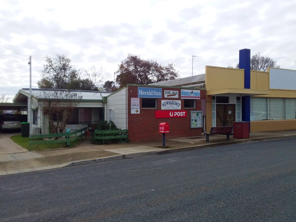
Food, Drink, Amenities and Accommodation
As shown on the map above, the GABCY Network has around 25 locations where riders can get food and drink. Many of these also have accommodation or camping facilities. In addition, National Parks, State Regional Parks and most Streamside Reserves in the area allow free camping.
- Green circles: Towns with food and drink.
- Red circles: Small towns where no food is available currently, but might be in the future.
- Purple circles: A Winery or other farm that provides food and drink (subject to change).
The map also shows that routes often intersect at towns. It is easy to change your route plans after lunch if your situation changes. You can also adjust at an overnight stop.
This map and information are out of date. Please see the Online Interactive GABCY Network map for the latest information about routes and services available.
.
Trains
Twelve (yes 12!) train stations provide intermodal access for cyclists to and from the GABCY Network.
This setup allows riders easy access and egress from the GABCY Network at various locations. They can shuttle to a different point to restart their ride. Riders can also catch a train back to the start location where they parked their car. The train stations allow riders to tailor their ride plans to their individual interests. They can also adjust based on the amount of time available for their adventure.
There are 5 train stations along the Goulburn River / east side of GABCY Network. These are:
- Shepparton, Murchison East, Nagambie, Seymour, and Tallarook. There is also Mooroopna Station, although this is so close to Shepparton, I don’t count it as an additional access point.
- For timetables see these links –
- Shepparton timetable
- Seymour timetable (this includes more trains that don’t go north of Seymour).
- These timetables may be out of date, please make your own enquiries before travelling.
There are another 7 stations along the Campaspe River / west side of the GABCY Network. These are:
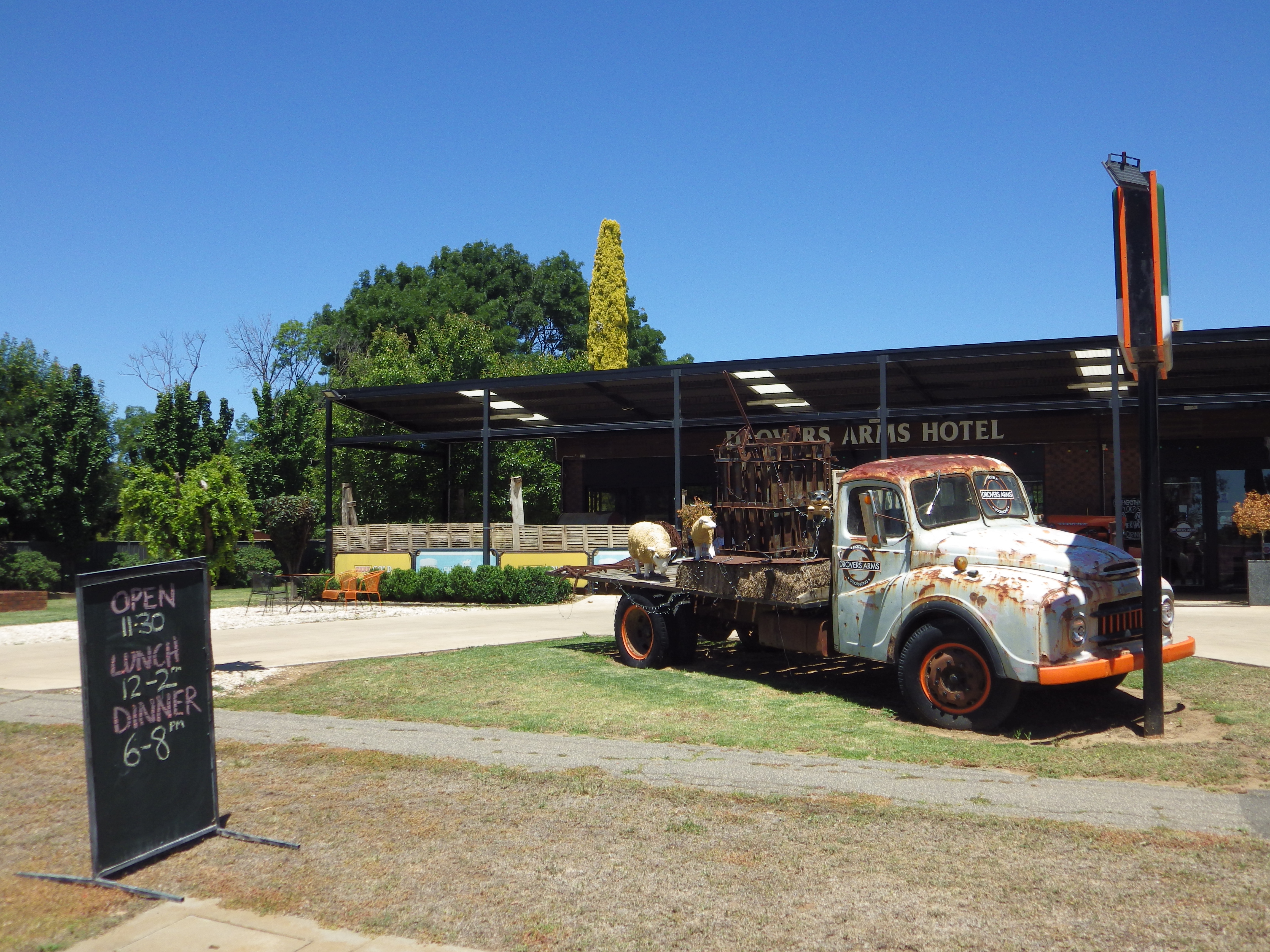
- Echuca, Rochester, Elmore, Goornong, Huntly, Espsom and Bendigo. Goornong and Huntly are new stations that opened in 2022.
- For timetables see these links –
- Echuca timetable
- Bendigo timetable (this includes more trains that don’t go beyond Bendigo and Epsom).
- These may be out of date, please make your own enquiries before travelling.
The GABCY area has many train stations along each side. This is a major point of difference for the GABCY Network, particularly for Melbourne-based riders. No other riding area in Australia offers the same level of customization. You can tailor routes and the ride duration to your specific needs.
.
Is GABCY Network a Good Choice for You?
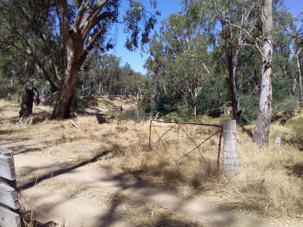
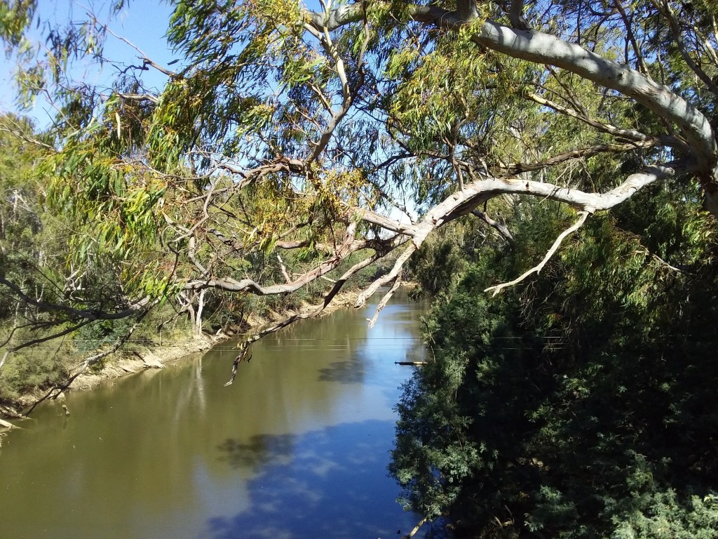
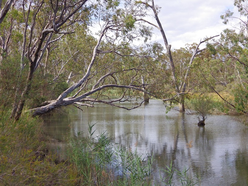
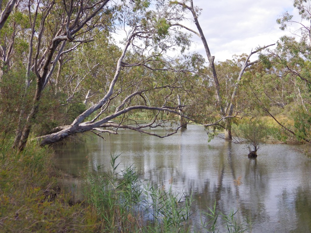
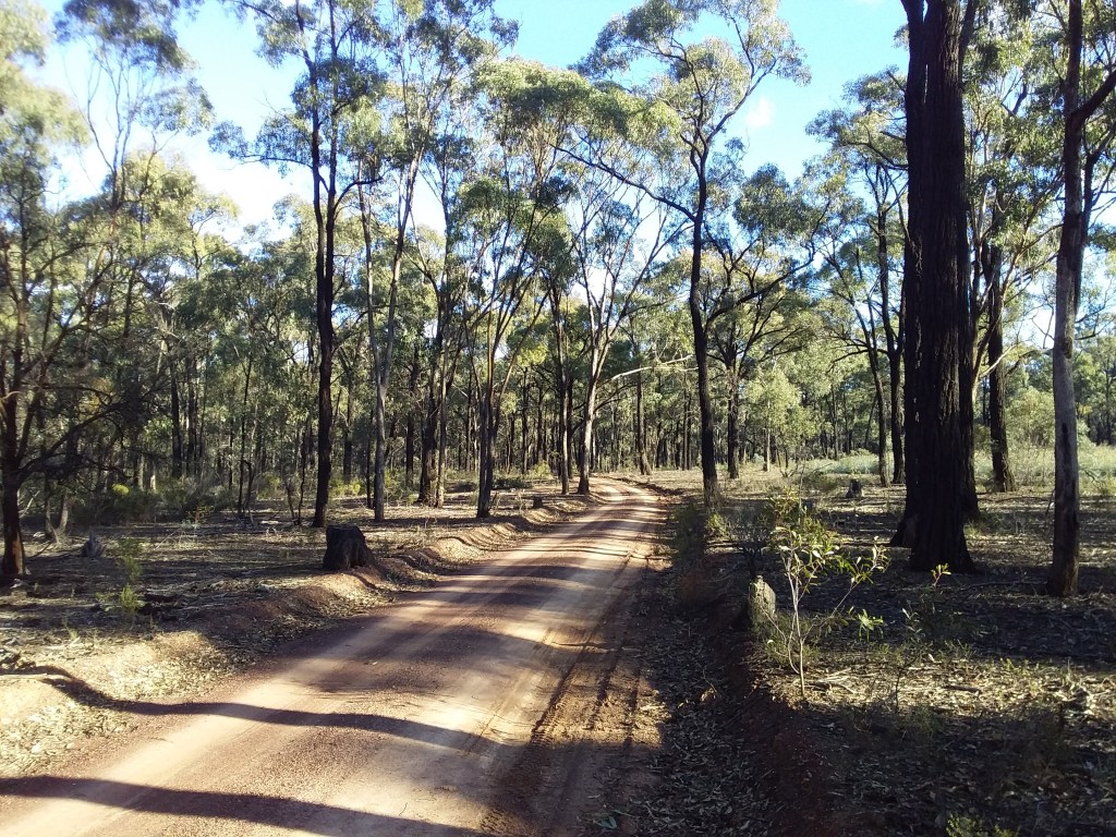
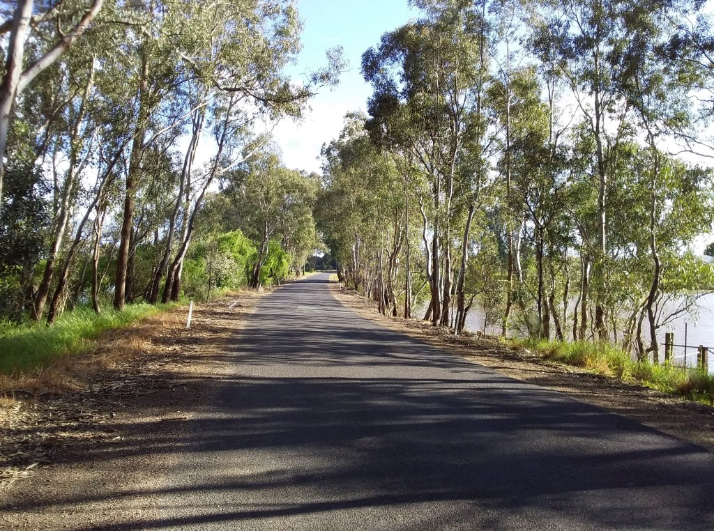
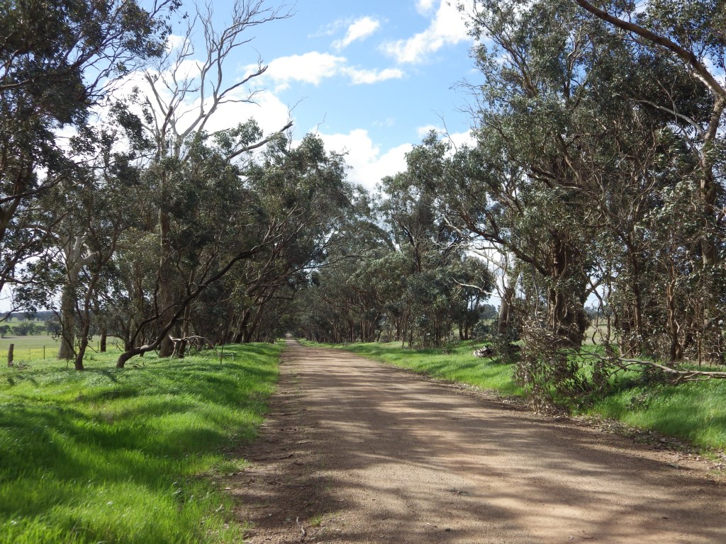
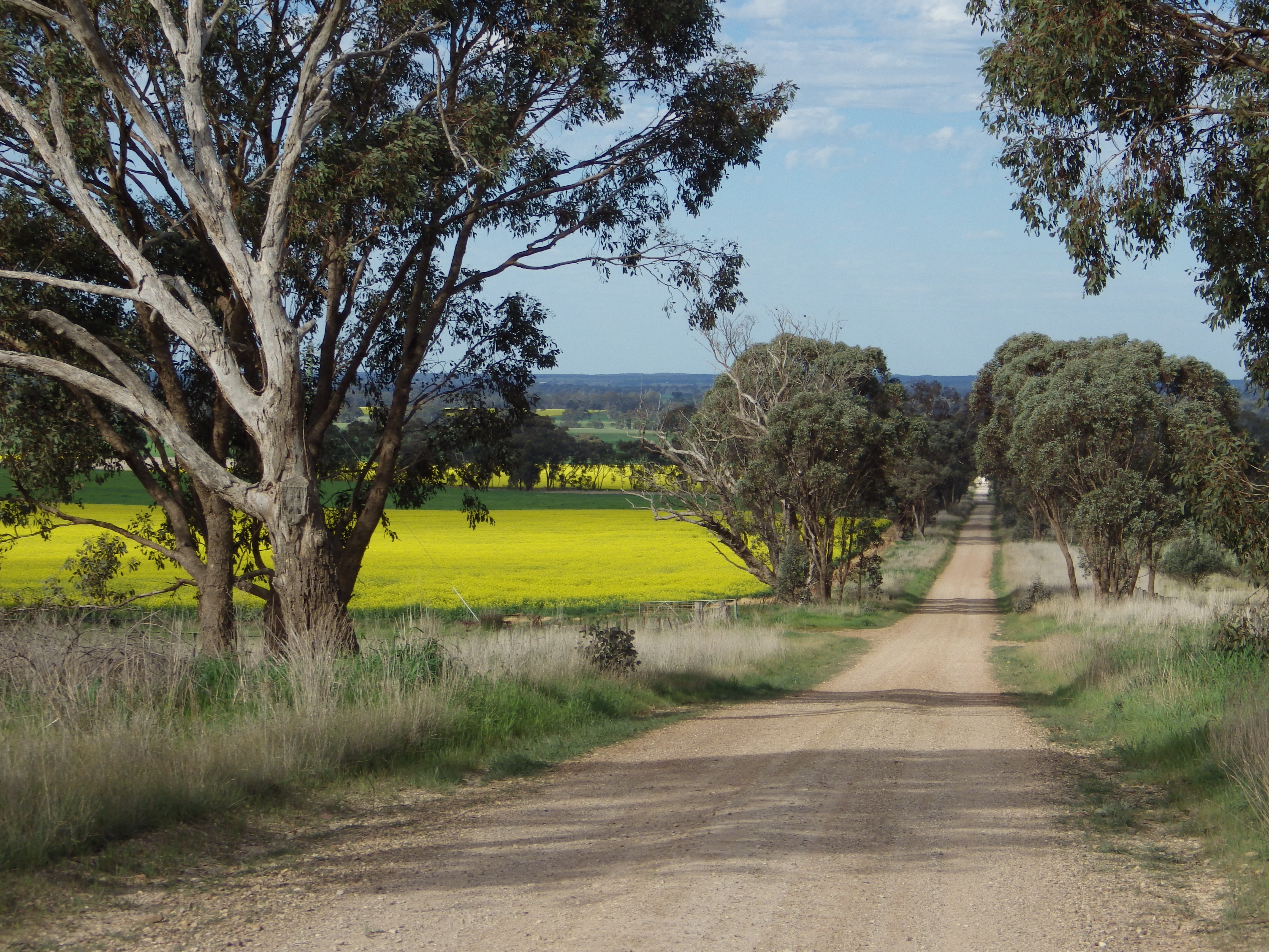
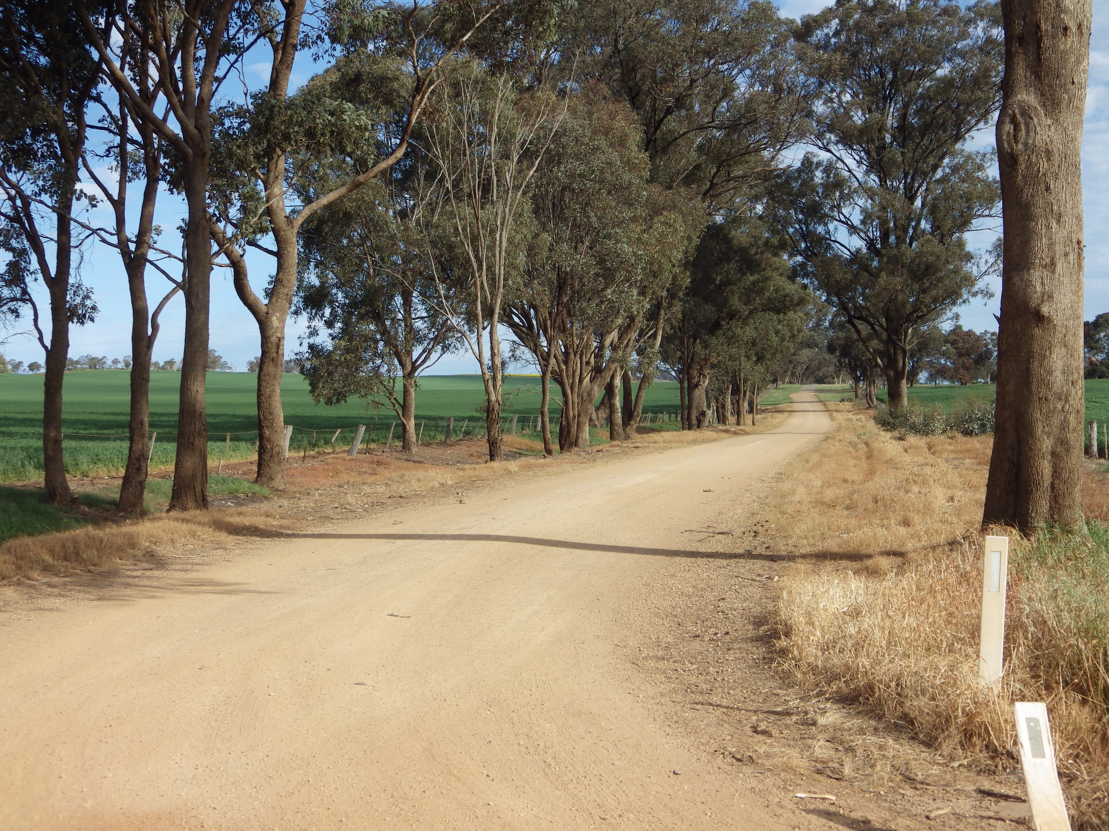
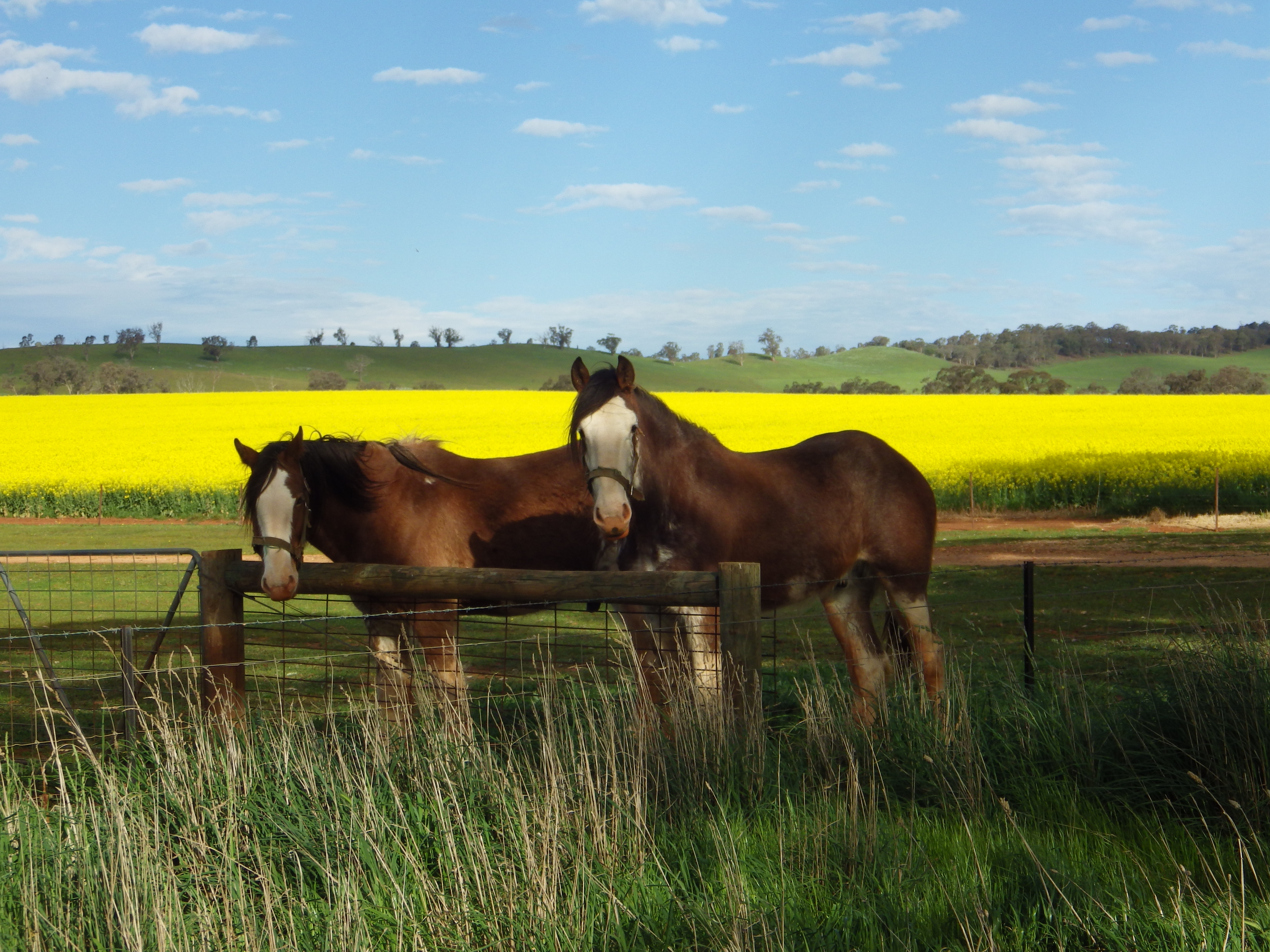
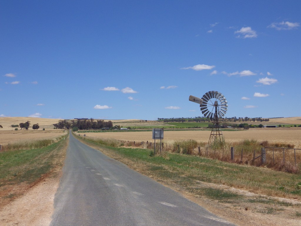
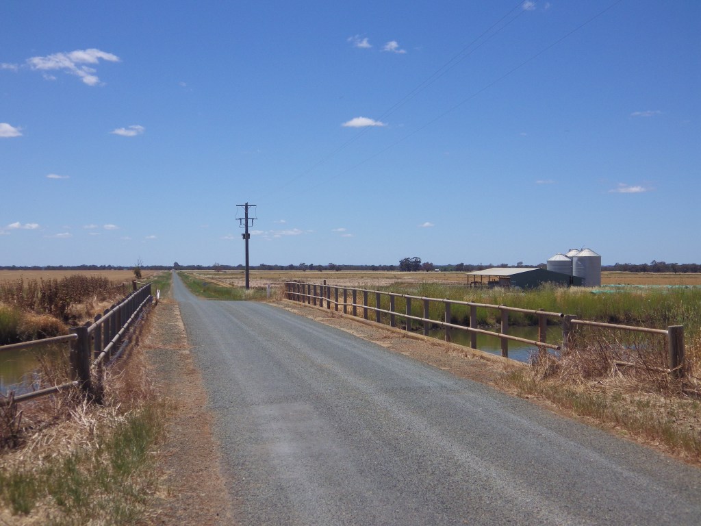
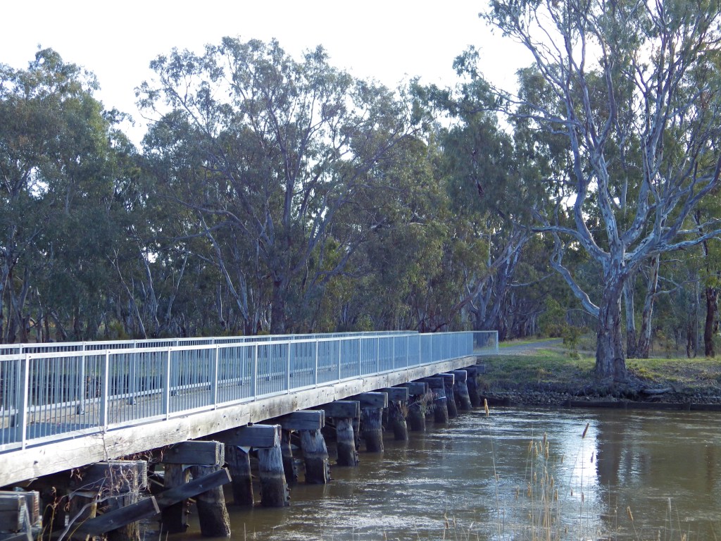
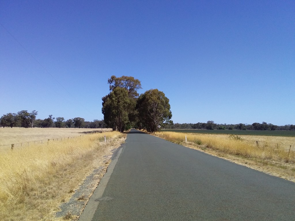
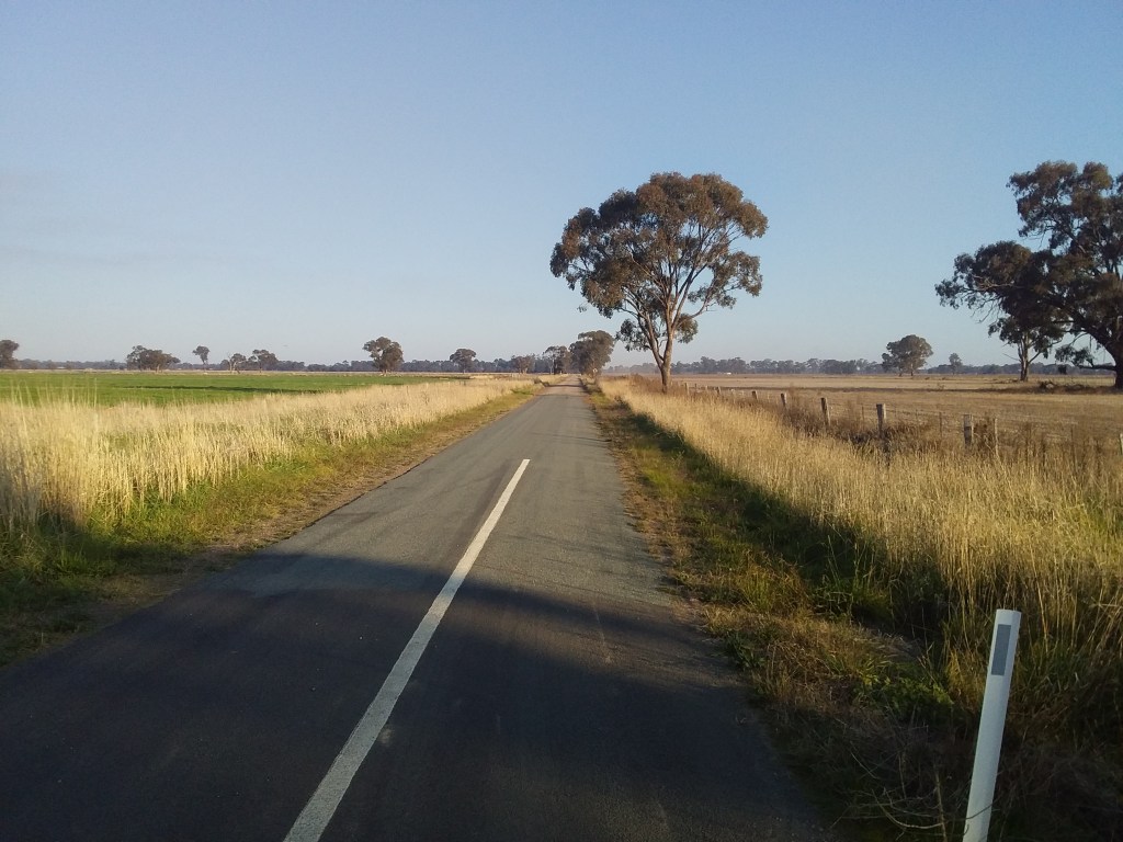
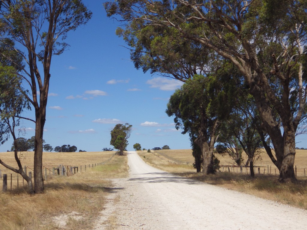
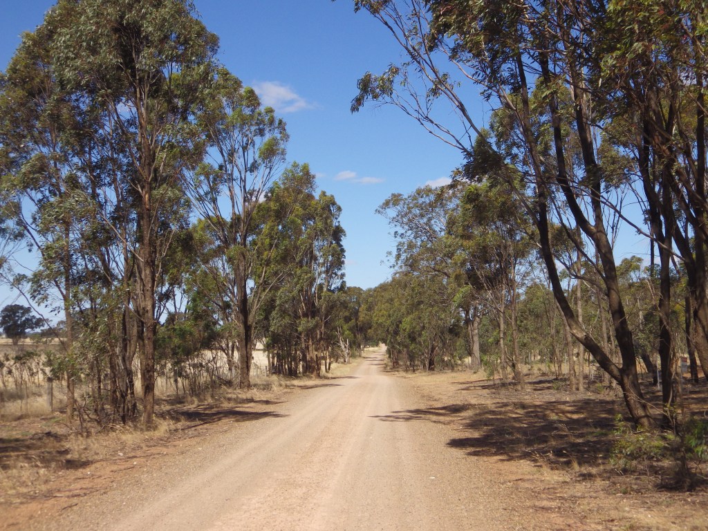
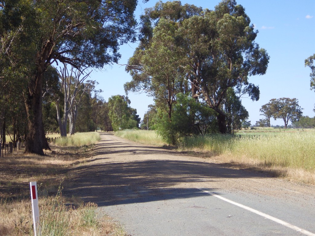
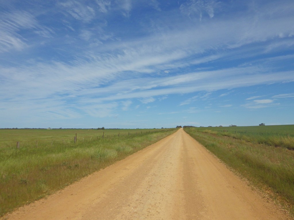
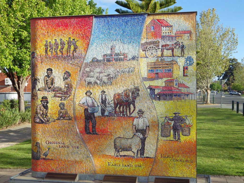
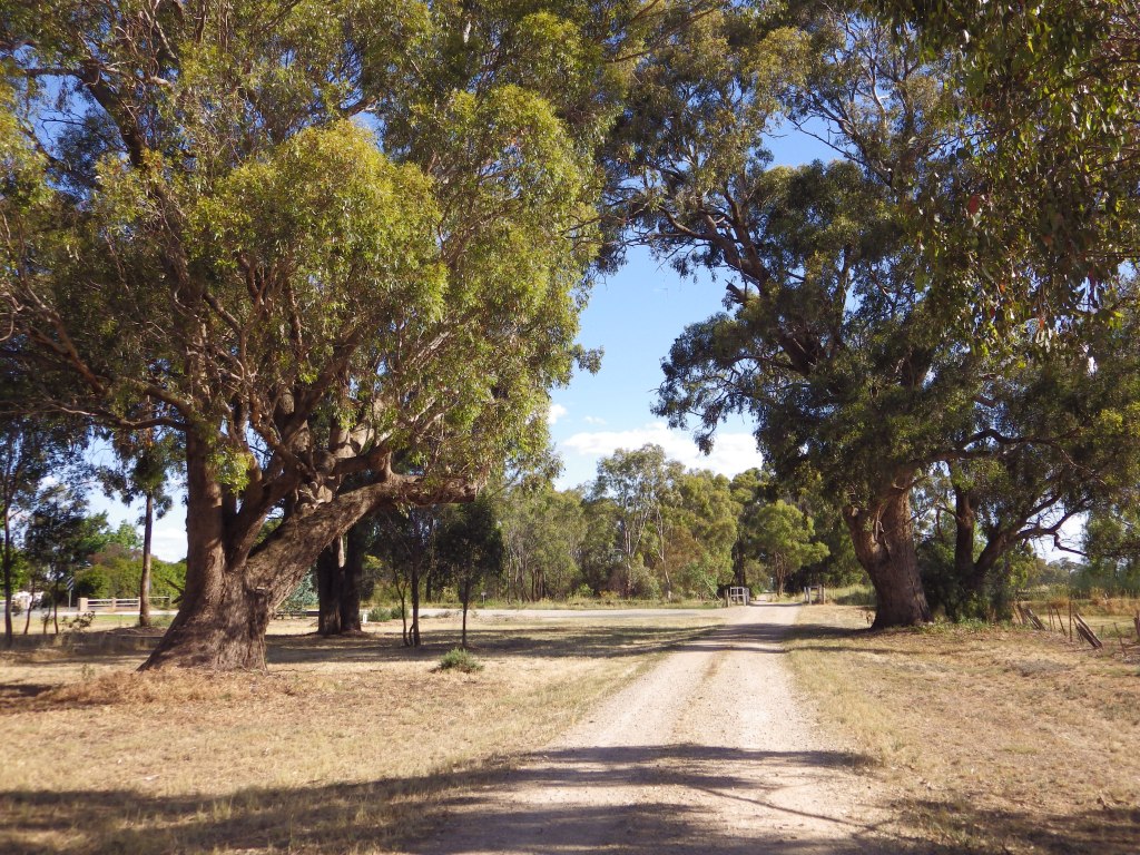
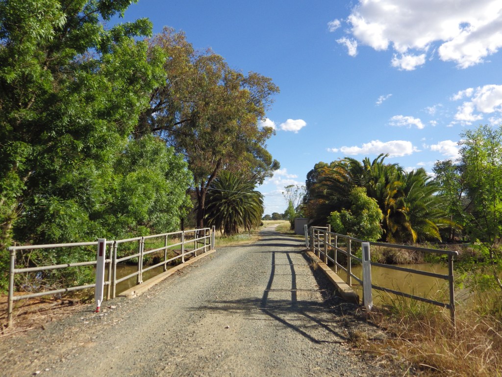
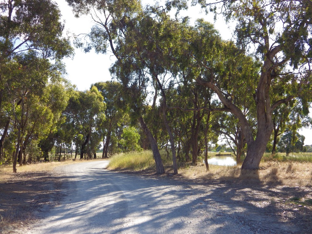
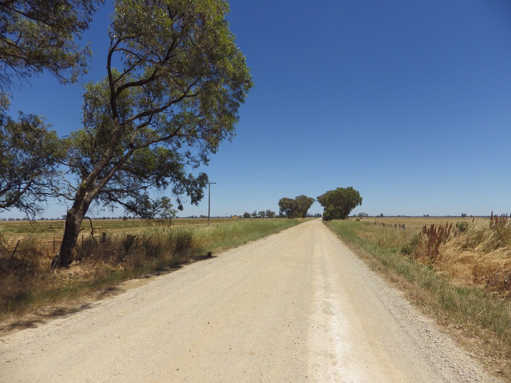
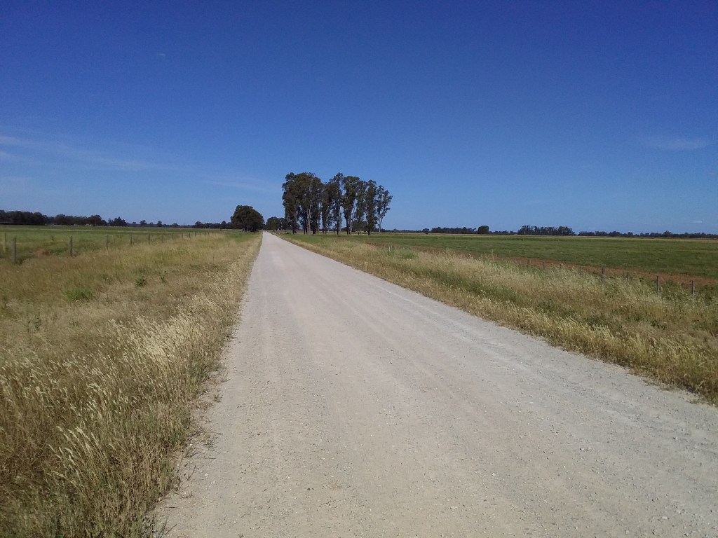
The lower Goulburn and Campaspe Valleys are mainly a big, flat agricultural plain. Although, there are forested rolling hills along the south side, and the Mt Camel range runs northward from Heathcote to Corop. Remnants of a lake district and wetlands show where water once collected in the middle of the plain. Reserves and National and State Parks run along the Campaspe and Goulburn Rivers and the southern ironbark forests.
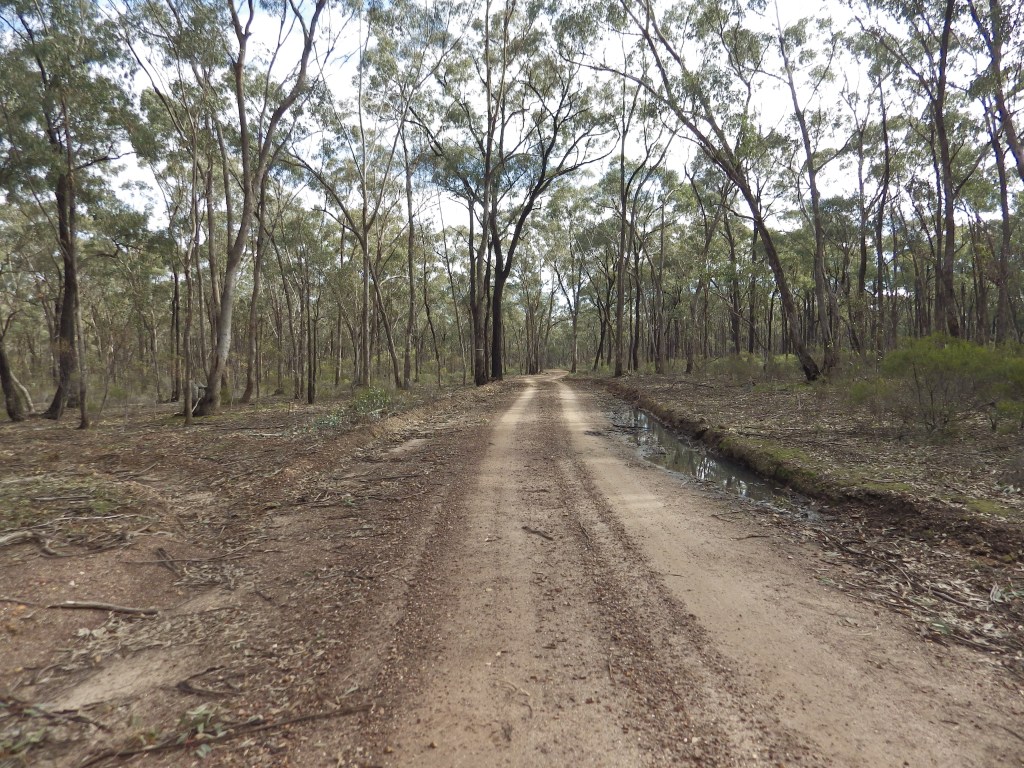
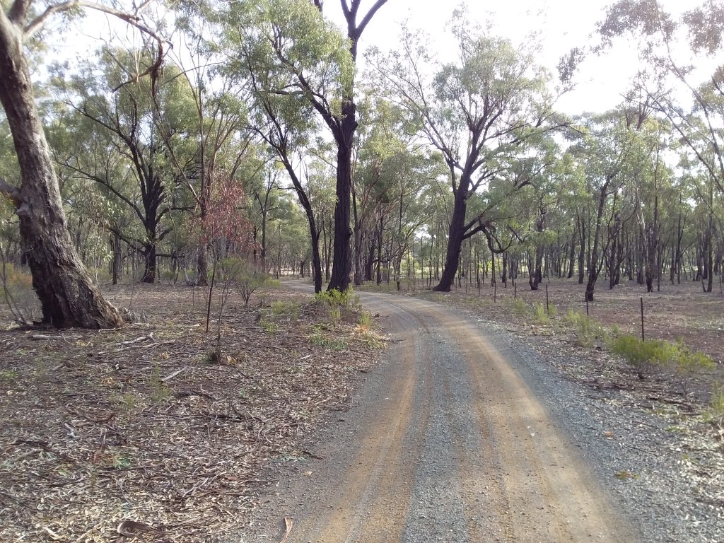
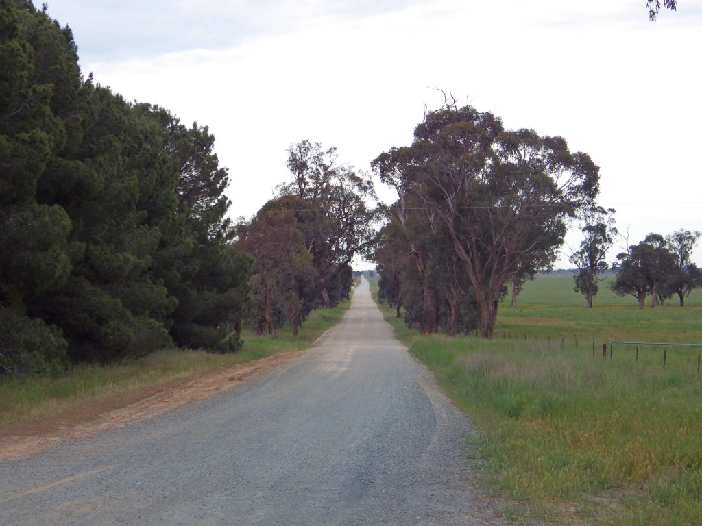
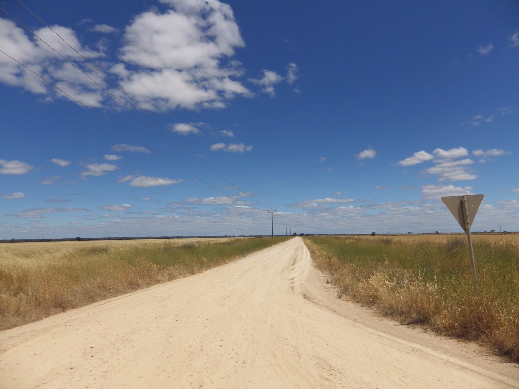
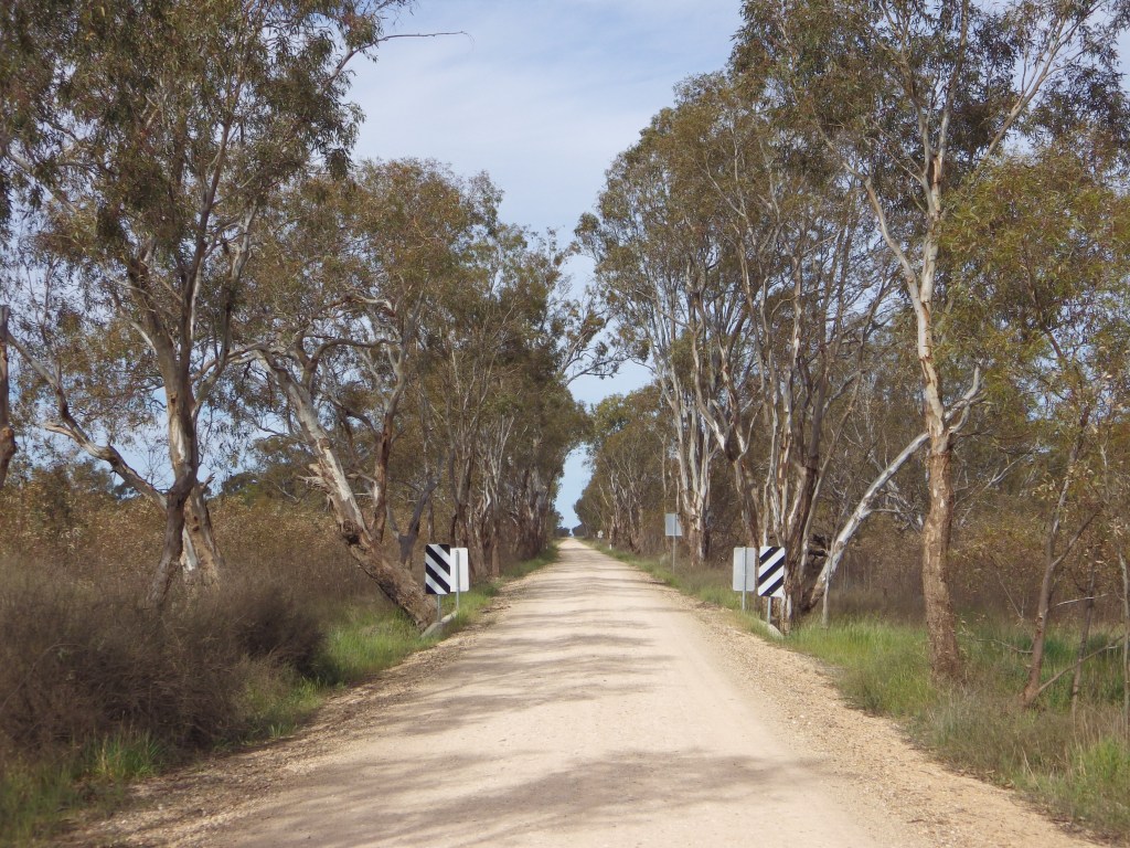
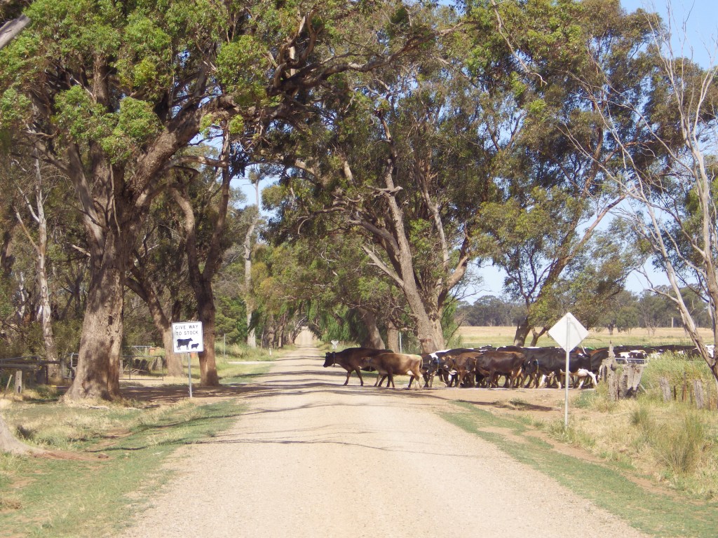
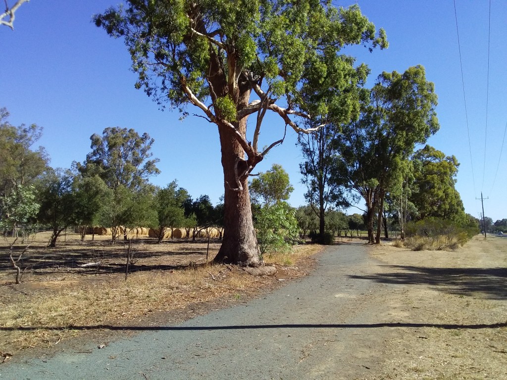
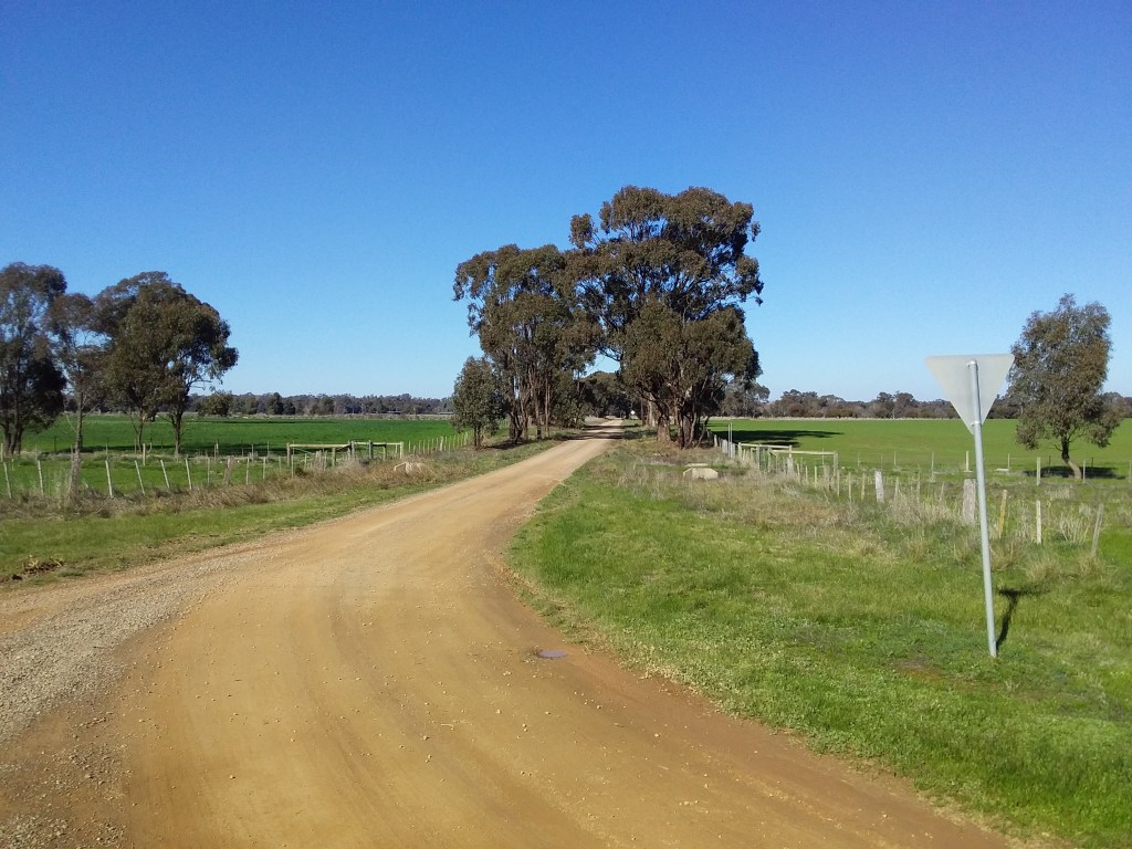
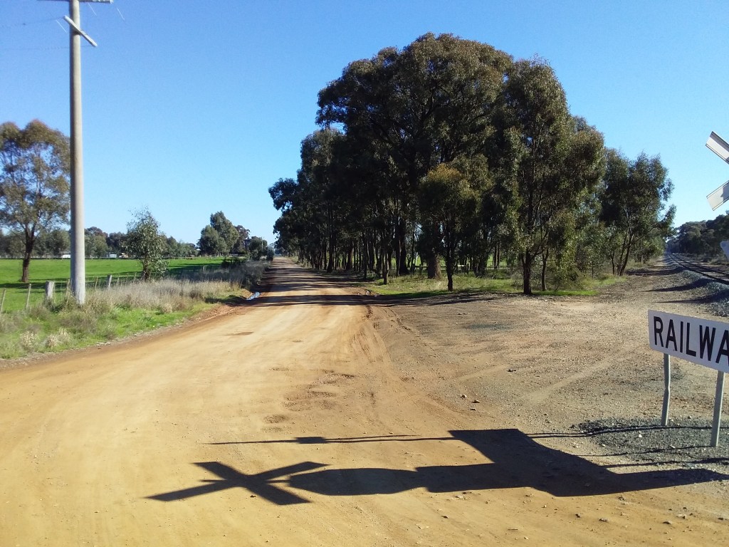
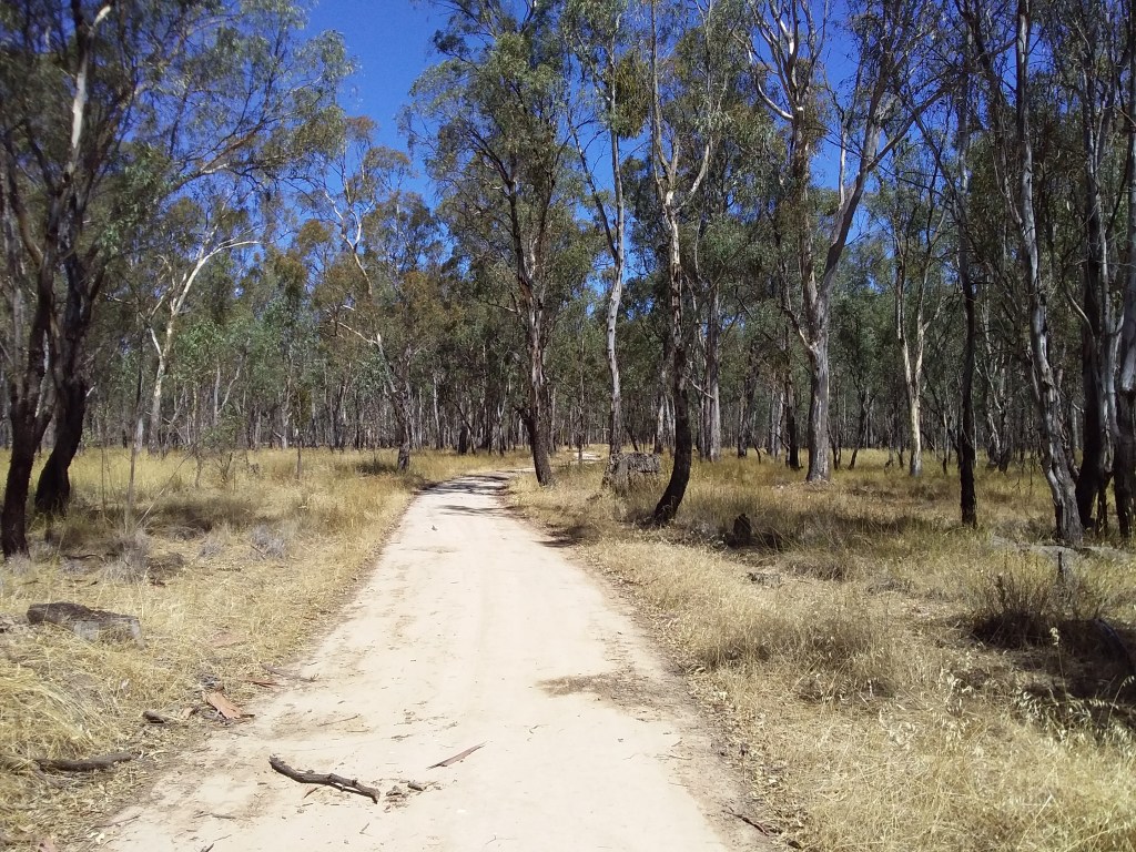
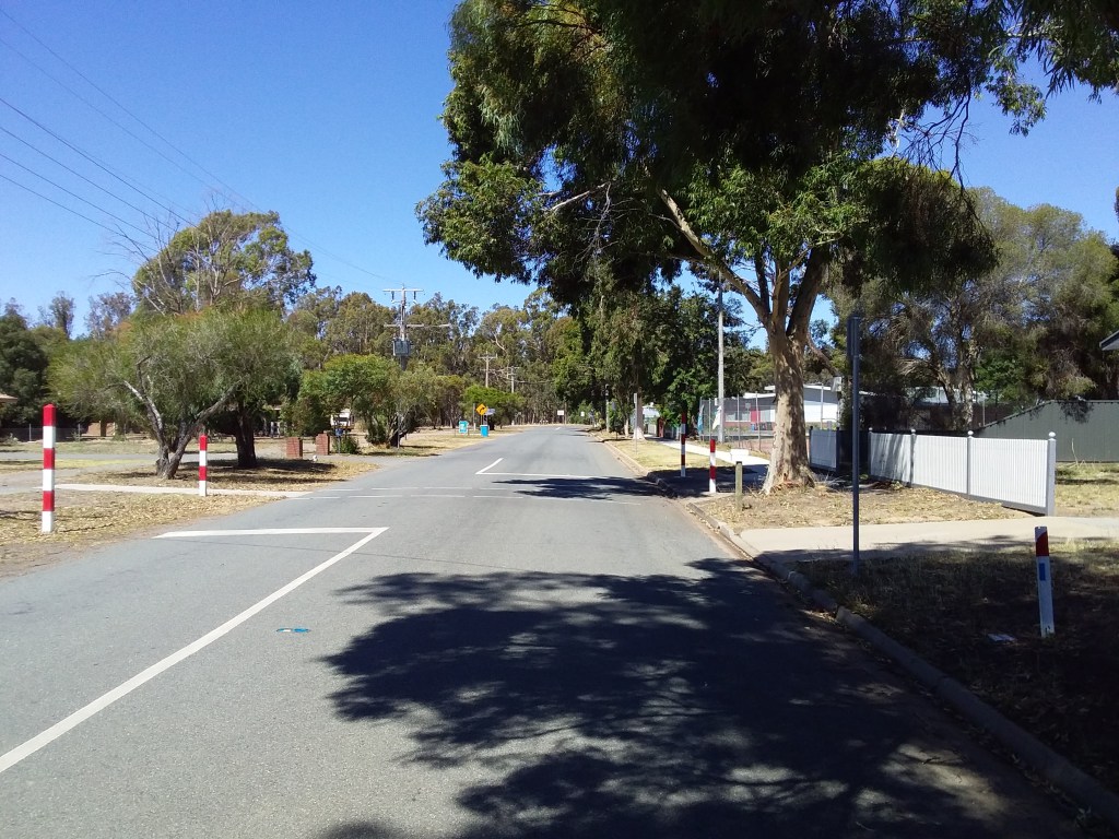
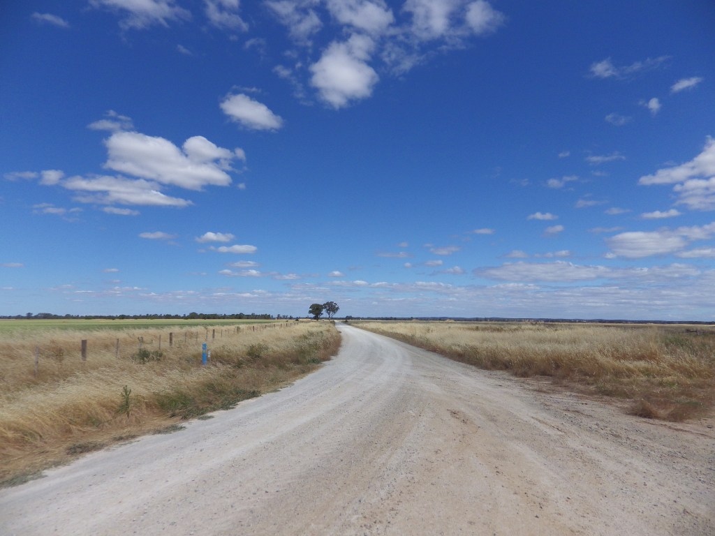
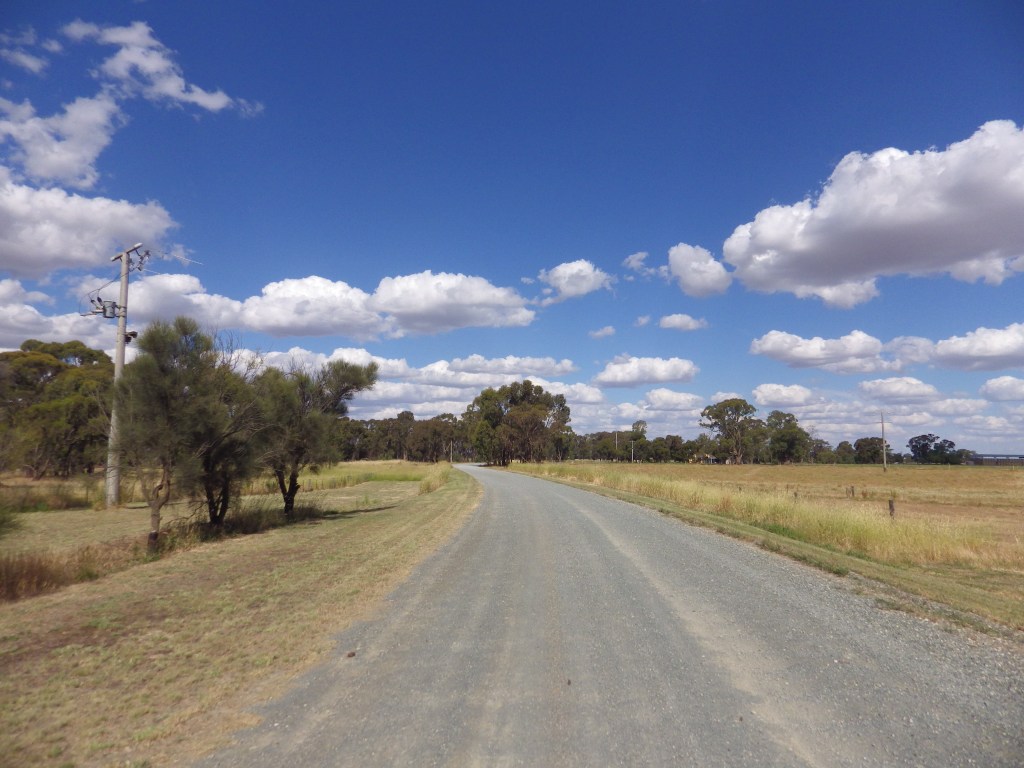
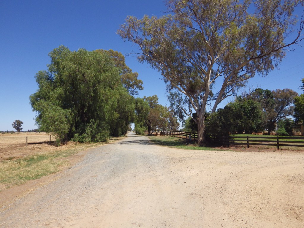
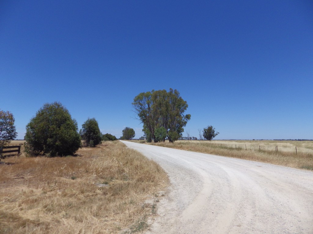
Small irrigated farms were much of the original agricultural activity in the area. These farms gave rise to a network of service towns quite close together. They also led to an extensive grid of gravel roads 1 mile apart. Many of these still exist. I am confident this area has a lot more gravel roads than any other similar-sized patch of Victoria. Because there are so many roads, in an area of declining farm population, many backroads have very little traffic.
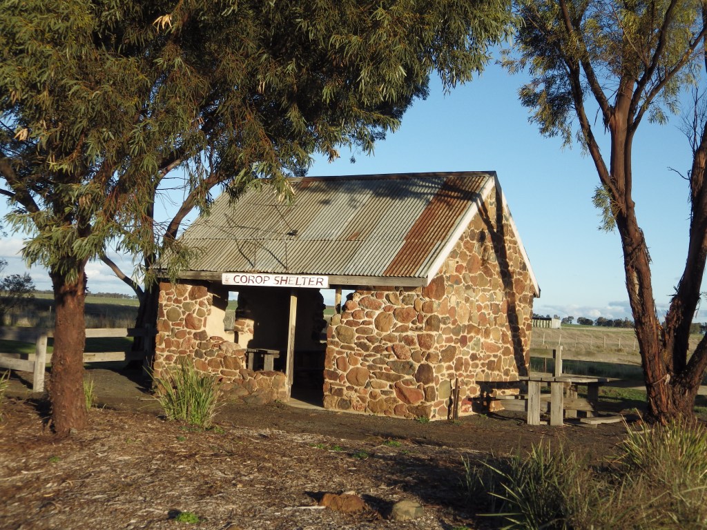
The GABCY Network is mostly flat and the occasional steep climbs are short enough to be walked if required. Even though riders will feel remote in places you are never far from support and bail-out options. If the weather turns, or you decide you don’t want to camp and prepare food every day, there are lots of towns with facilities along the route.
In summary, there is an extensive network of gravel and earthen roads with low traffic. Many support towns offer good amenities. The area features scenic and interesting natural and historical sites.
The GABCY network lends itself to low stress, high social riding. As such, I think it is suited to new bikepackers or gravel riders. It is also ideal for more experienced riders who want to take it easy or test a new setup. I think it would be very suitable for a mixed group. More experienced riders can introduce friends, partners, or younger family members to the joys of bikepacking or gravel riding. The mostly flat terrain and very little car traffic make it easy to stay together. Riders can spread across the road or tracks and chat to each other as they ride. And there are many good food and drink options to replenish reserves and continue the social interaction.
If a slow gravel + food cult exists, then the GABCY Network is its spiritual home.
If you are just starting out in gravel riding and bikepacking then to be comfortable riding in the GABCY Network you will need the following:
- Bike and Tyres: Any bike that will carry your gear and that you can ride comfortably all day is suitable. Make sure you know how to do basic repairs on this bike. The main requirement is to have Tyre width greater than 30mm as a minimum. Ideally, the tyre width should be 40mm or more for comfort on gravel. On these surfaces, if you have wide tyres, you don’t need suspension in your frame and fork. A rigid frame will be OK.
- Electronic nagivation: There are no signs or maps, and routes often go down rarely travelled tracks and lanes. You have to be comfortable navigating electronically with gpx files, and being outside mobile range. I recommend a safety beacon, particularly if you are travelling alone. You also need to carry battery packs to recharge your devices. Bring mobile phones with emergency apps to warn you about fires and other emergencies.
- Fitness level: It takes a reasonable level of fitness to ride the distances in these loops. However, a bigger issue is doing it again the next day, and the day after that. If your body is not used to it, expect blisters and repetition soreness. If you are a beginner, start with regular riding to toughen your skin and body. Begin with shorter daily distances.
- Planning ability: This is a forgiving area. It is mostly flat. Any climbs are short. Amenity and resupply locations are close. However, if this is new for you, plan thoroughly. Determine what you need on each route. Plan where your food, water and overnight stops will be. You are more likely to have a good experience with more planning. If you regularly ride a road bike on sealed roads, expect to cover about 75% of your sealed road distance on gravel or earthen roads.
- Best time to ride: The best riding is in Spring or Autumn to avoid the summer heat in this area. Spring is more colourful, Autumn is more predictable and has warmer days and less wind and rain. Summer can be OK if you pick a time when roasting north winds are not forecast.
.
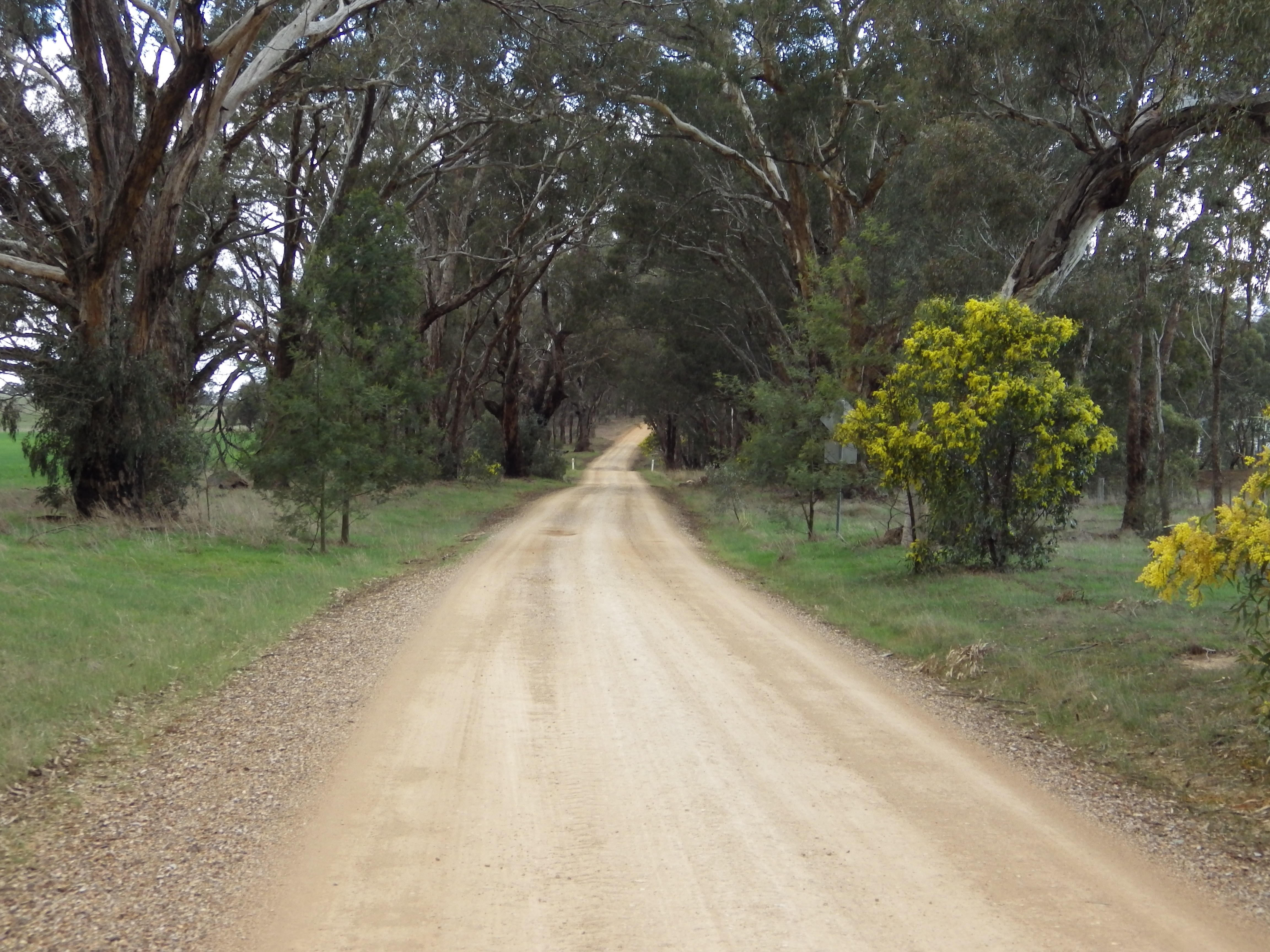
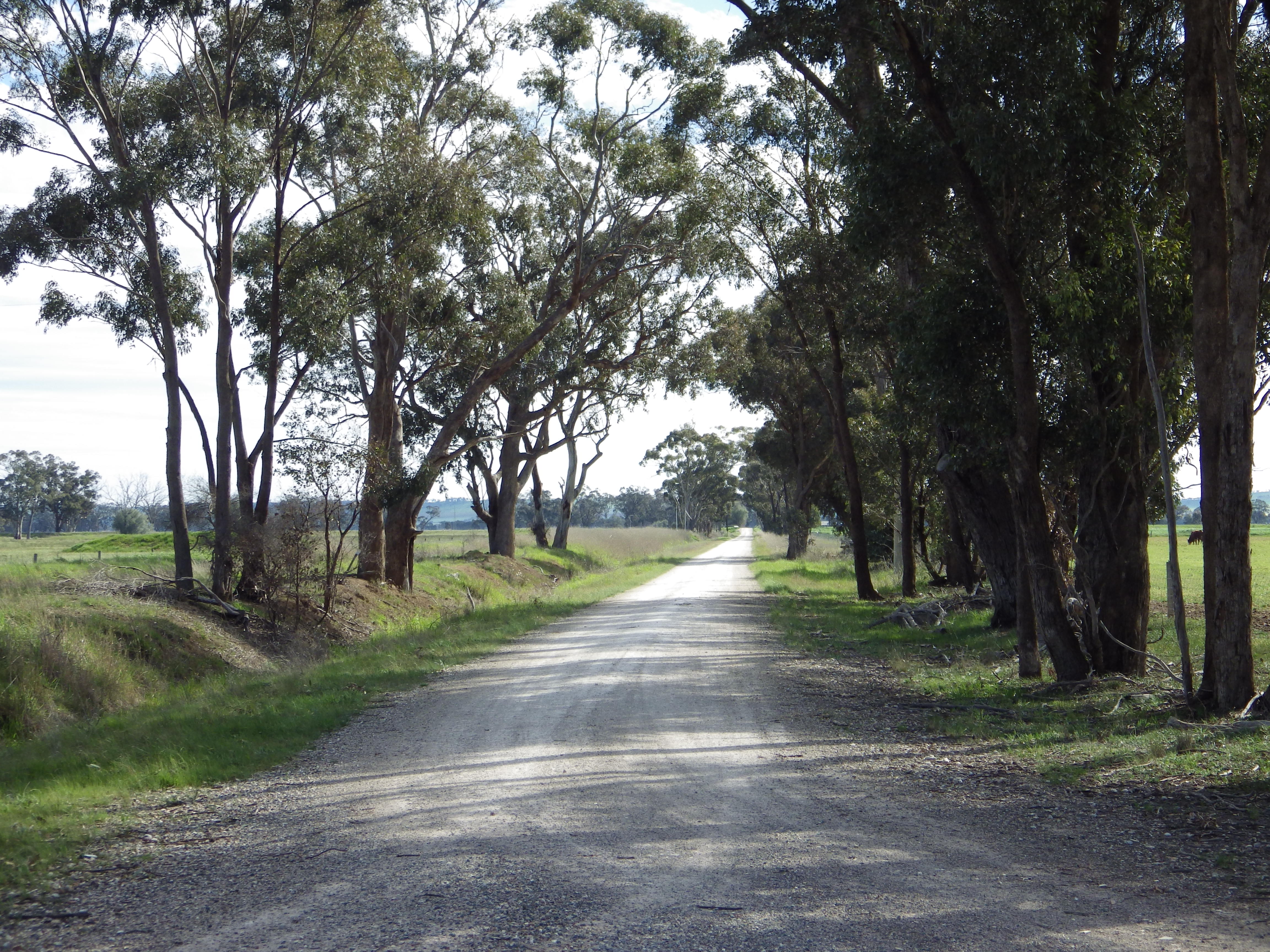
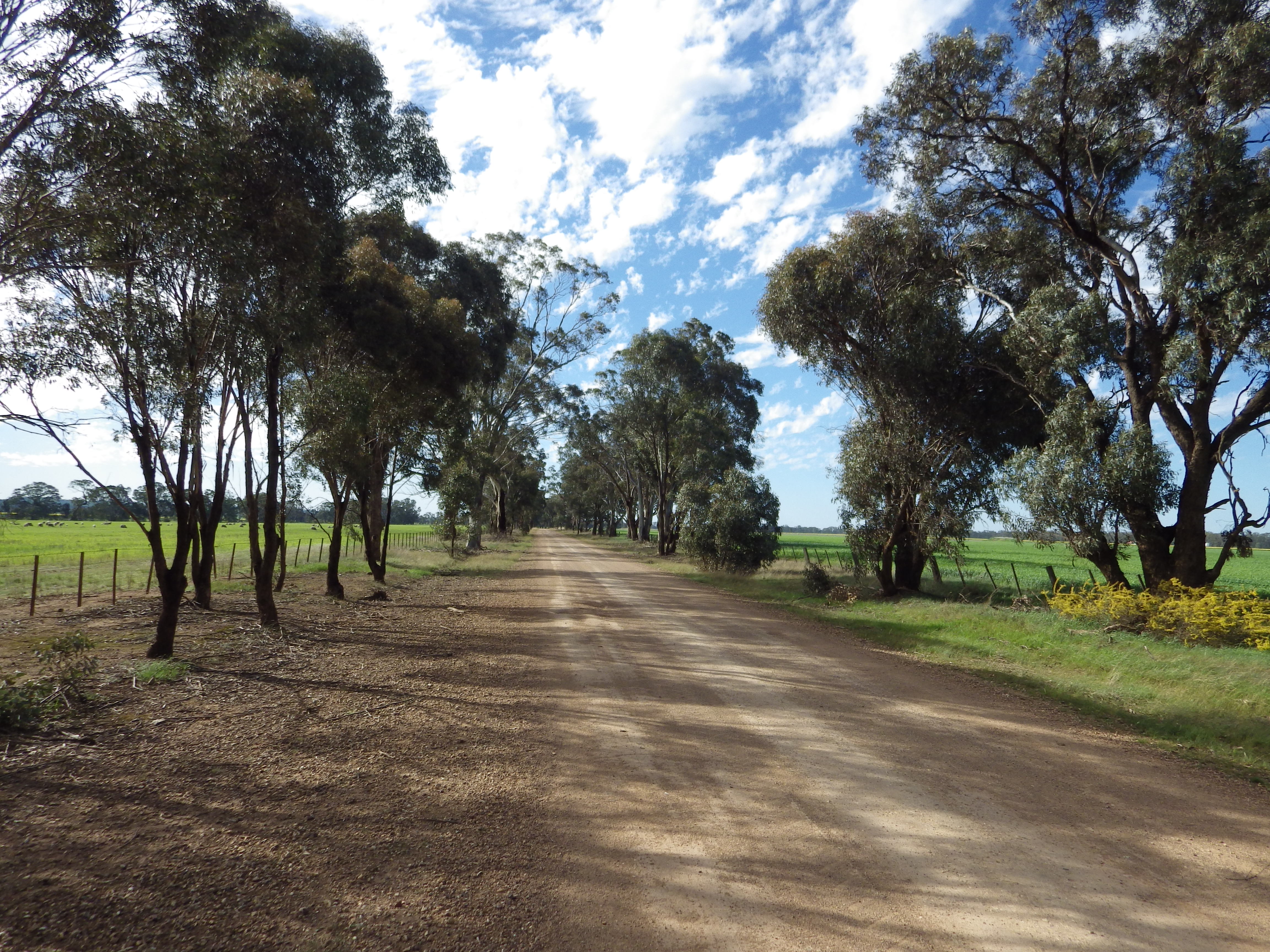
Individual Loops and Routes
Summary details and gpx files for each loop or route are provided below.
Some routes have more information and pics than others. I haven’t fully researched and documented all the routes. However, I want to publish what I have now, early in the riding season, to give riders the opportunity to use what exists, rather than wait until it is all complete.
To find a particular route, start from the southeast corner. The listing order then moves west and north.

.
The map above, and the route information below, are not the latest versions. For the ongoing latest versions see:
- GABCY Network Interactive Online map – for the latest route maps and amenities locations.
- Each route now has a separate page – see the Menu, or Routes page, to access the individual route pages. Only the indivual route pages will be updated in future.
Please don’t download the gpx routes and then upload them to other public websites. Several of these routes are first draft only and are going to change. It is much better if users come back here and get the latest versions and information about how the tracks interconnect, rather than use out of date versions from elsewhere. The latest versions will always be available for free from this website.
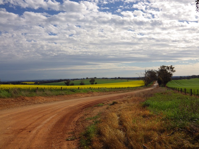
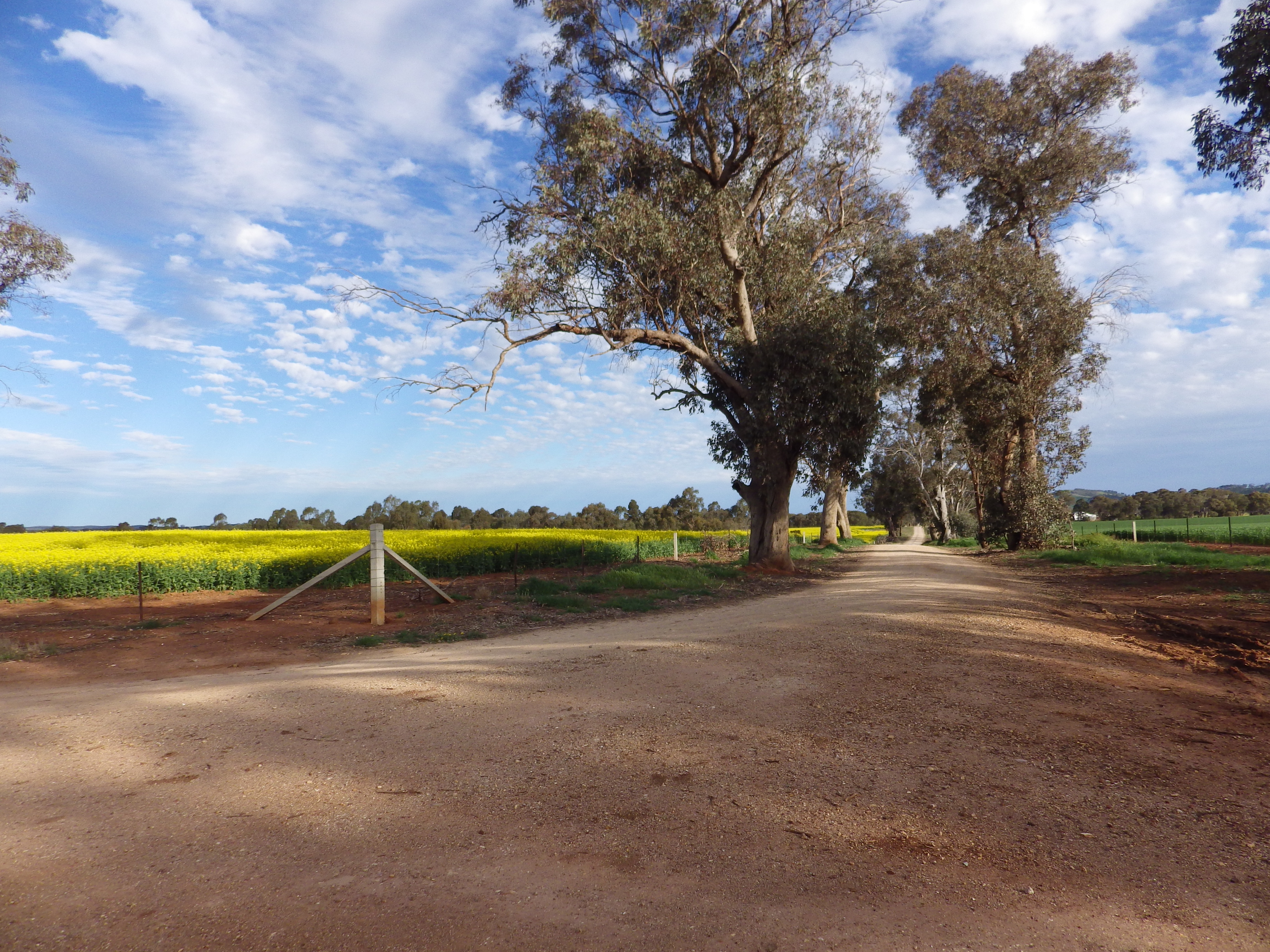
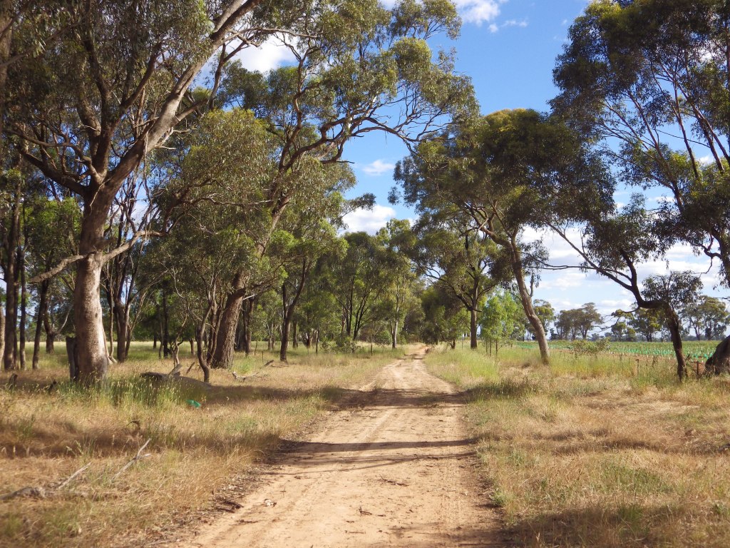
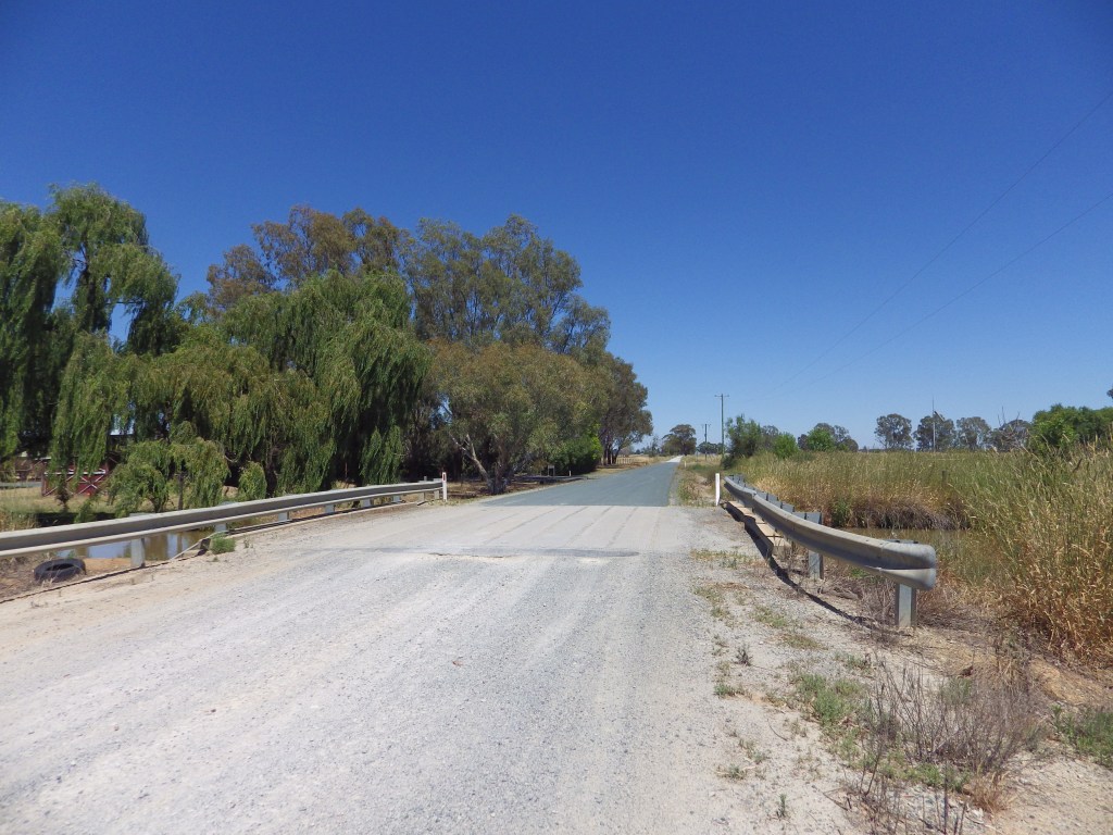
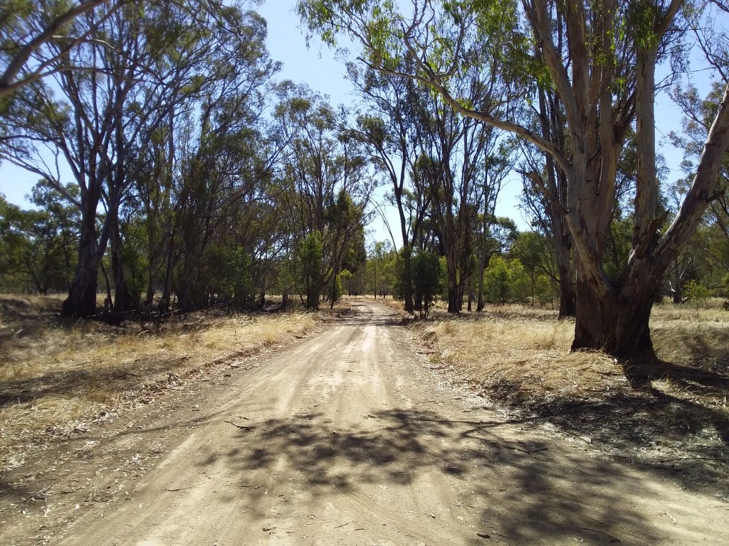
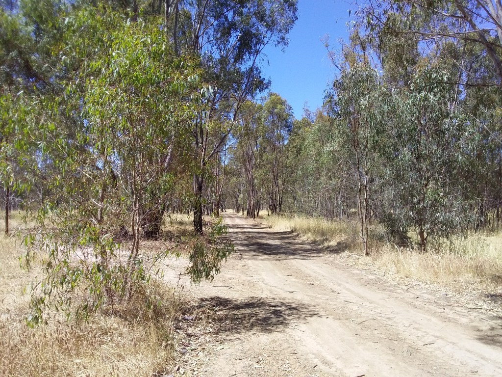
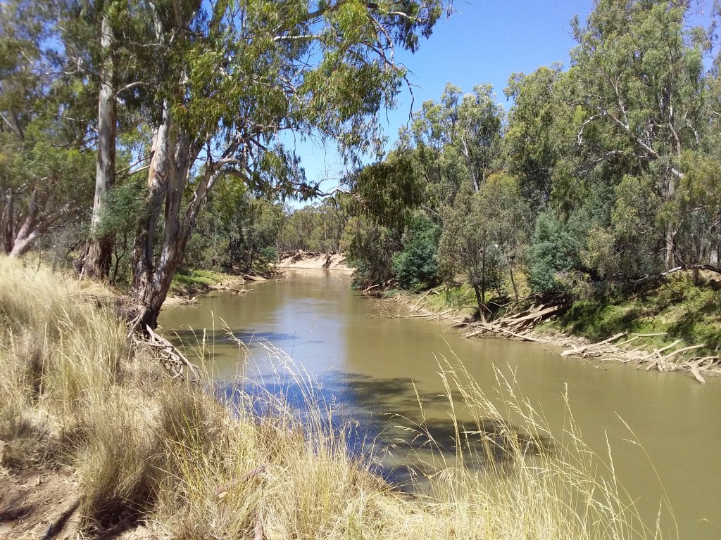
1. Yellowbelly Track
- Distance: 206 km (one direction, not a loop).
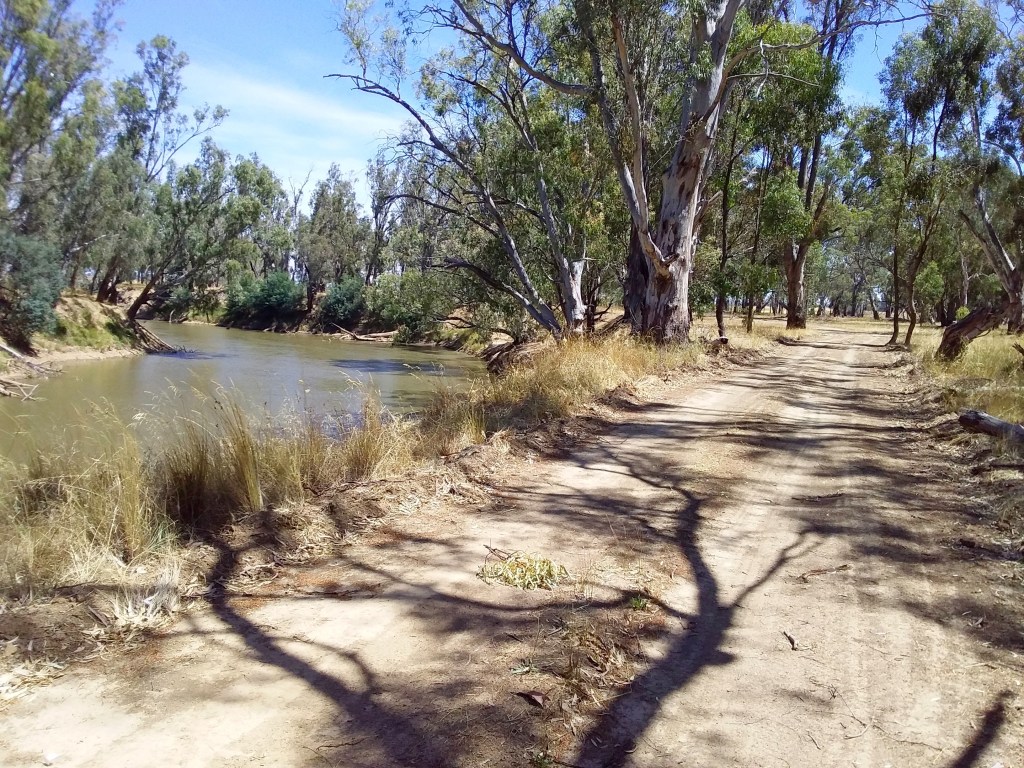
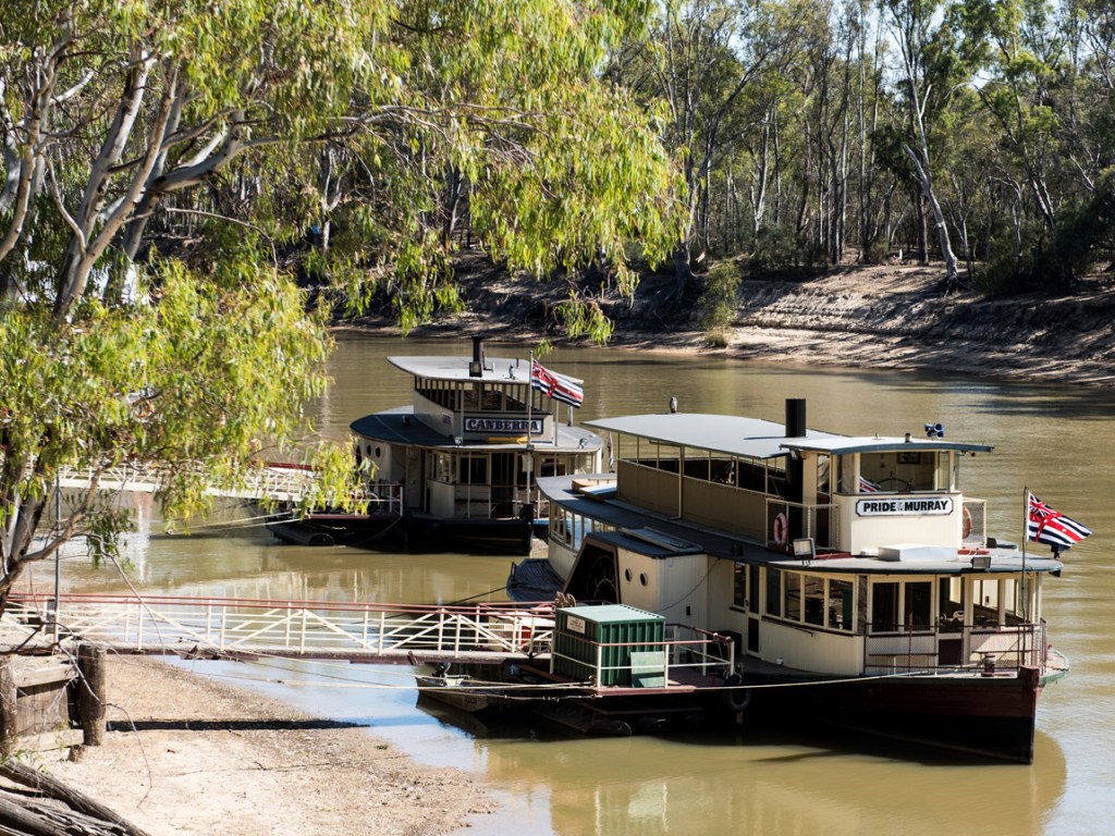
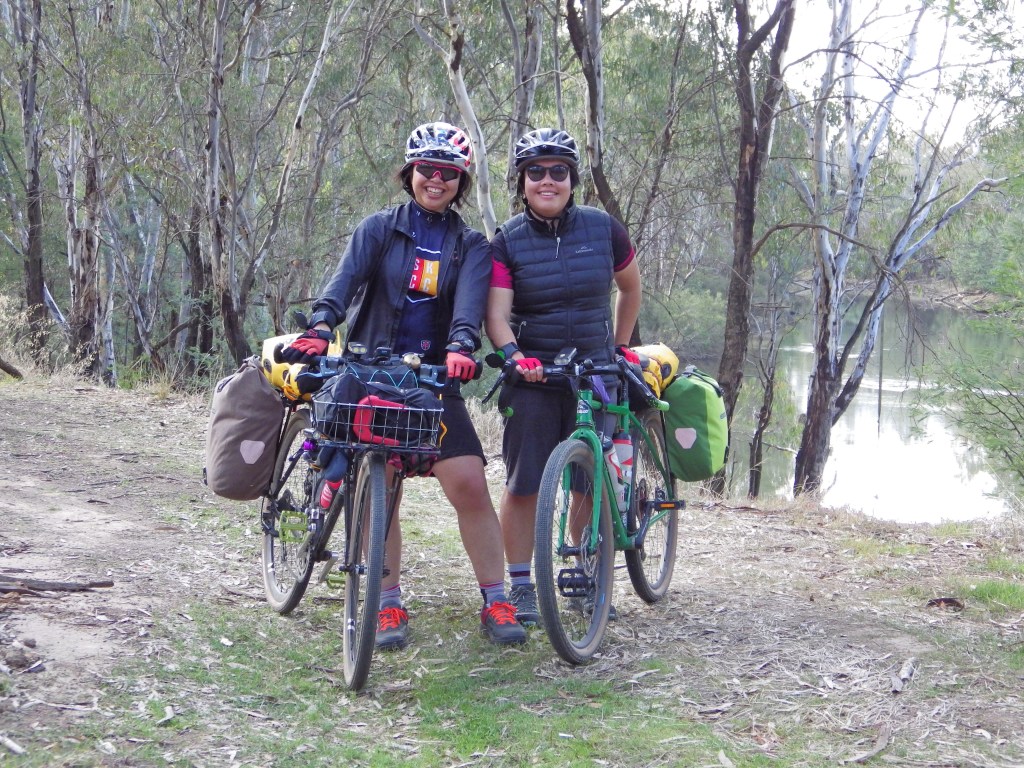
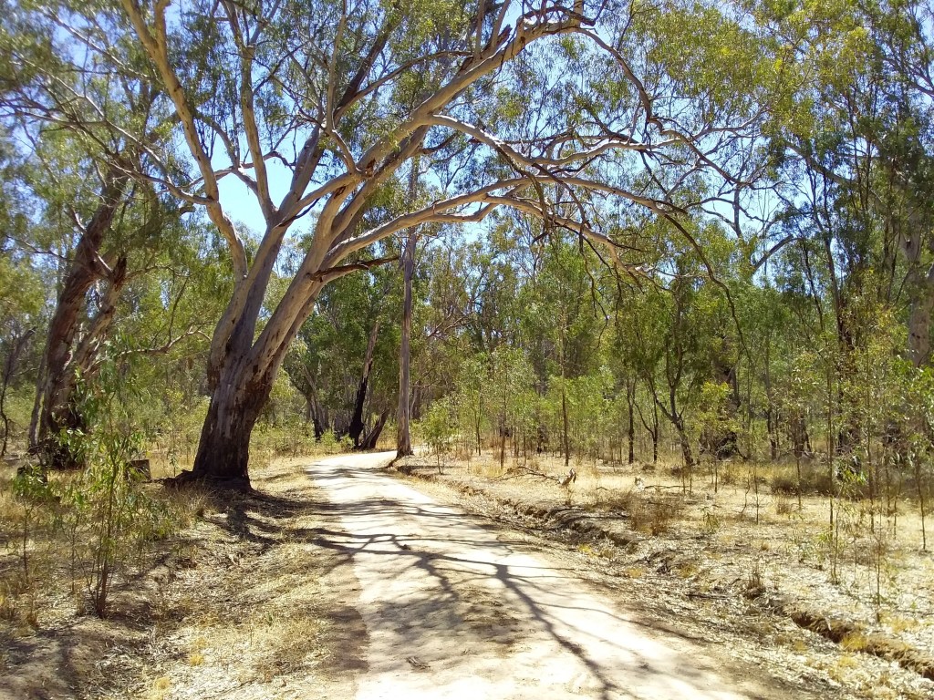
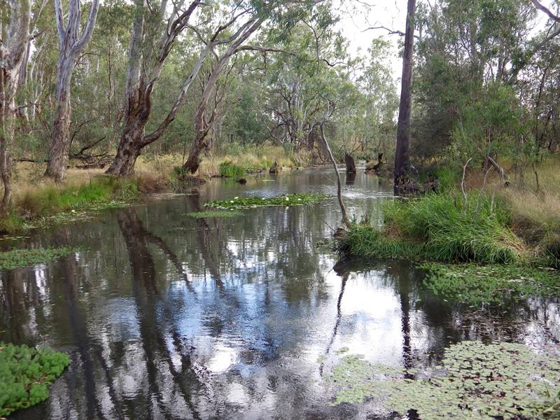
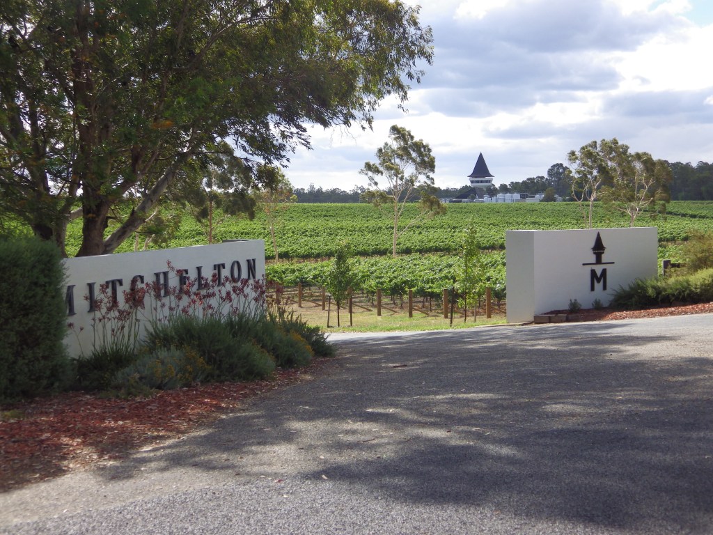
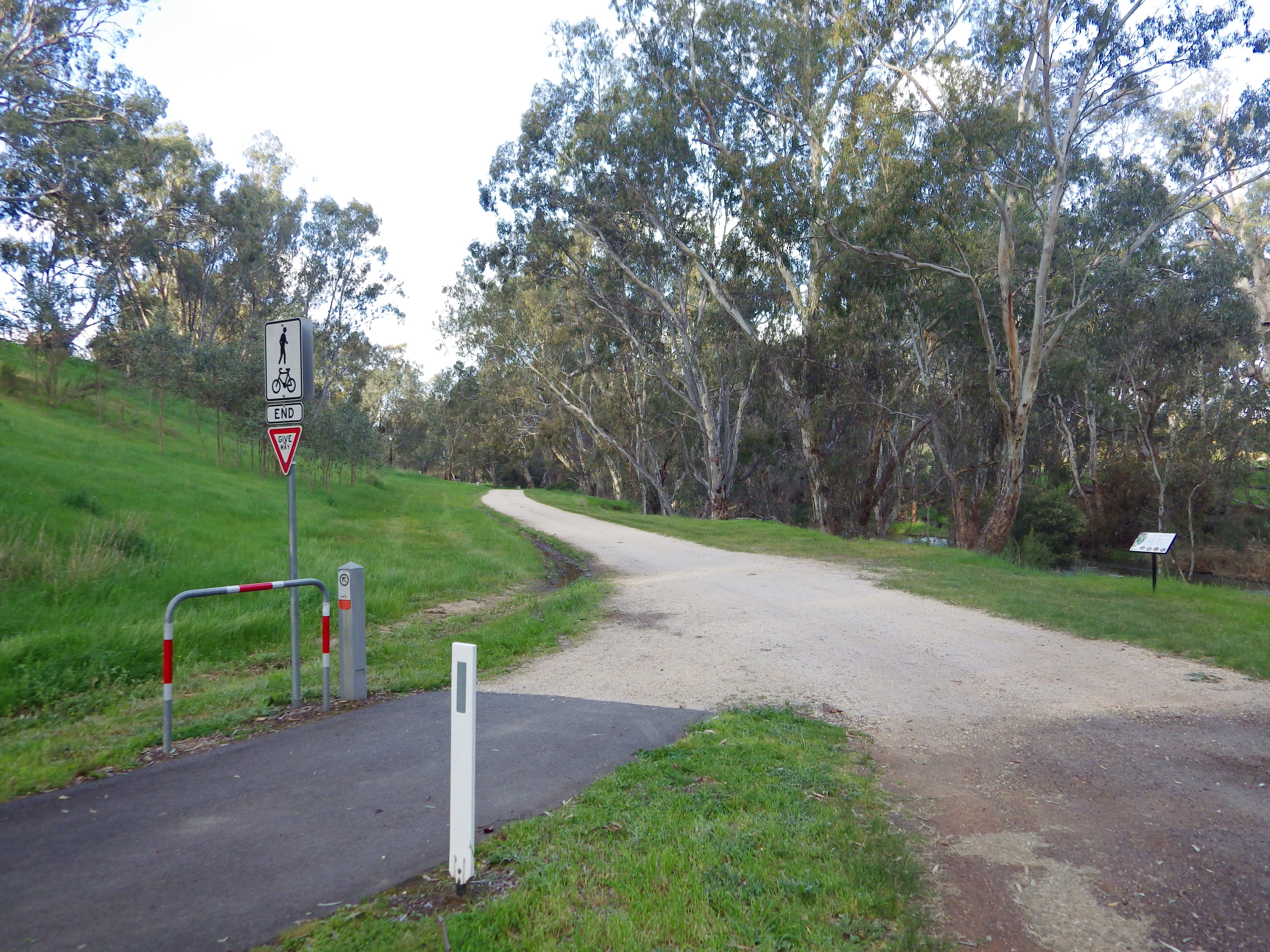
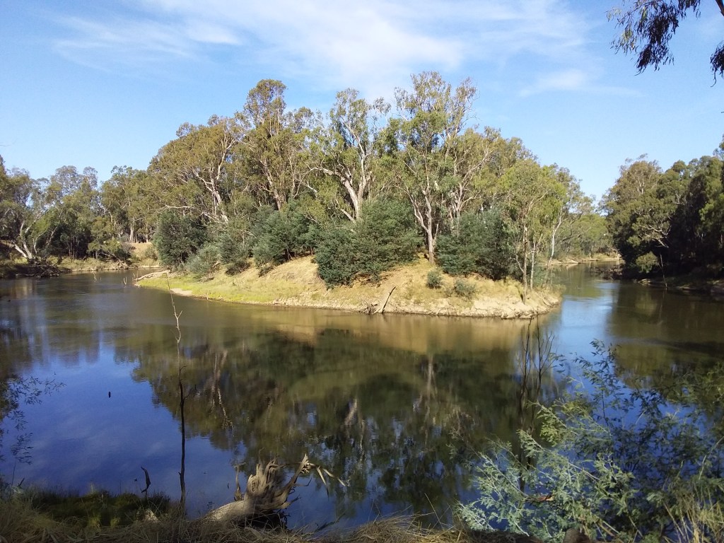
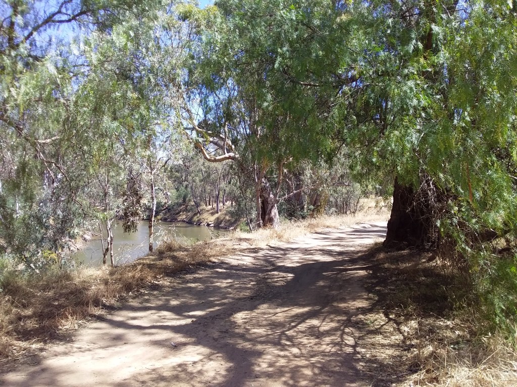
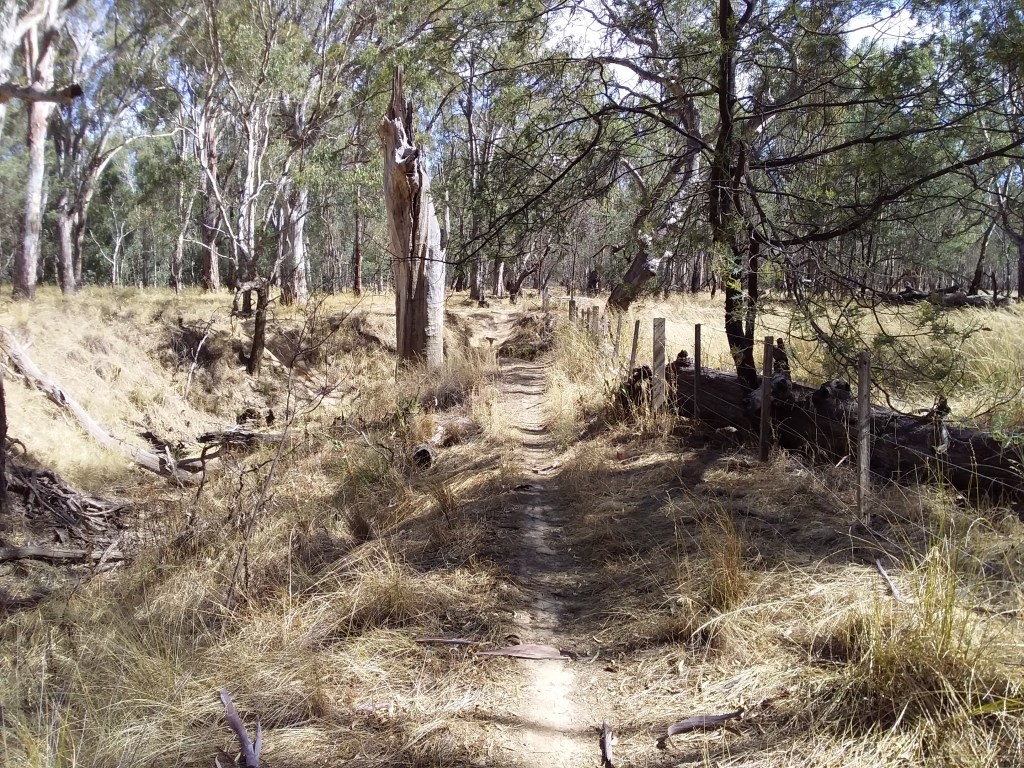
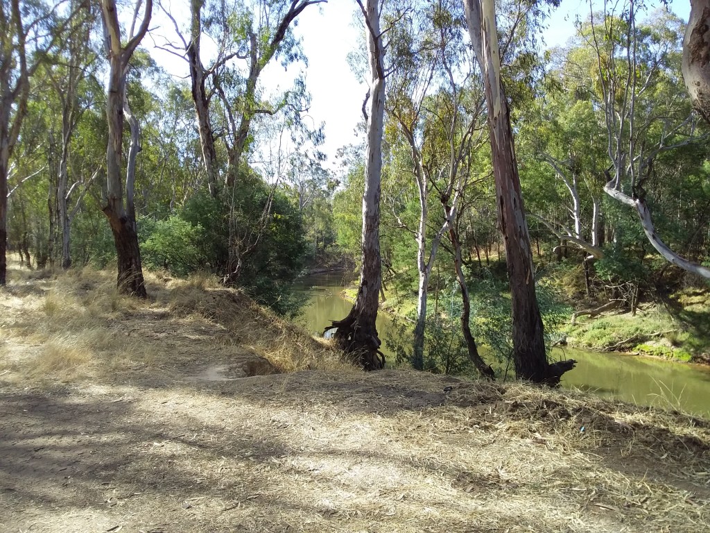
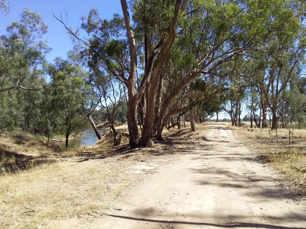
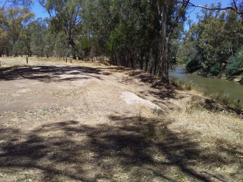
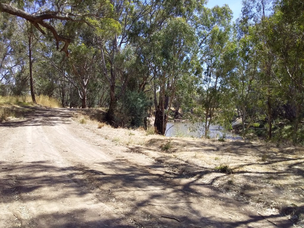
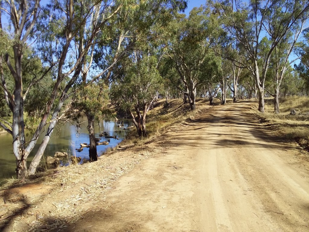
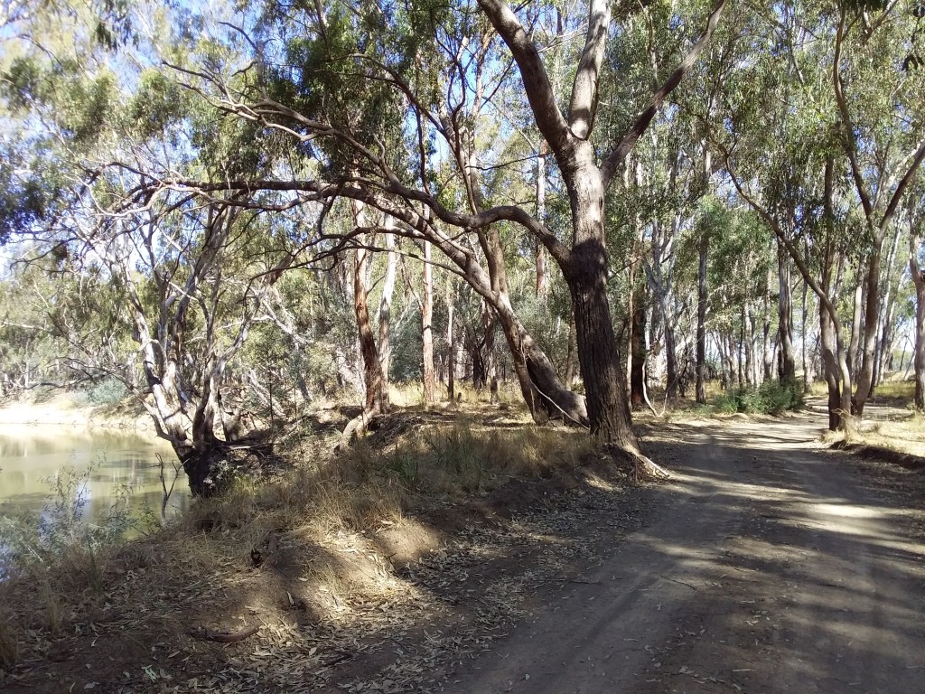
- Description: A tranquil route in Northern Victoria, following the Goulburn River from Echuca to Tallarook. Wherever possible the route follows river tracks, gravel roads and quiet local sealed roads to minimise vehicle traffic. As well as providing river vistas, the Yellowbelly Track passes through panoramic farmland, and secluded National and Regional Parks.
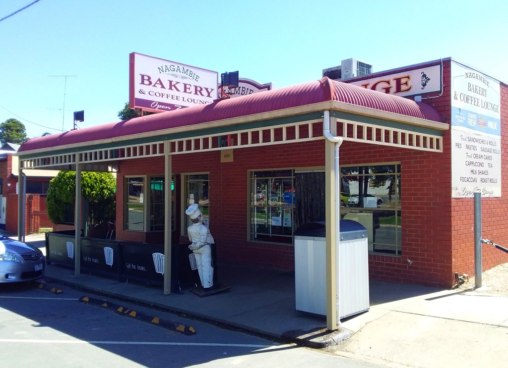
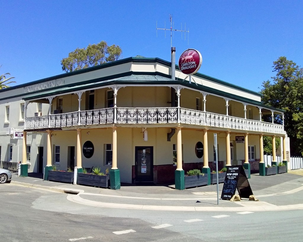
- Amenities: Tallarook, Michelton Winery, Nagambie, Murchison, Toolamba, Mooroopna, Shepparton, Echuca.
- Accommodation: Michelton, Nagambie, Murchison, Mooropna / Shepparton, Echuca, Major Creek Reserve (camp), Shepparton Regional Park (camp), Lower Goulburn National Park (camp). For the leg between Echuca and Shepparton, Wakiti Creek Resort (4 km off track) and the Undera Hotel (6 km off track) are closest commercial accommodation sites.
- Ride surfaces: 31% silt and clay tracks, 5% stabilized path, 25% gravel, 35% quiet sealed road, and 3% busy sealed road.
- Terrain: Flat, with a few low rolling hills at southern end.
- Suggested Ride: Can be ridden in either direction, or in shorter segments with rail link connections.
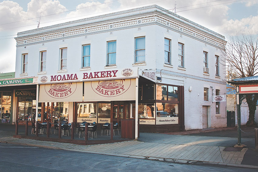
- Highlights: River tracks sections from Yambuna to Toolamba. Echuca historic port district. Vineyard stops with food options. Scenic country roads and small towns with bakeries.
- Link to gpx file: Yellowbelly Track – Tracks.gpx and Yellowbelly Track – Roads.gpx
- More detail: See Yellowbelly Track page
- Connects with: Great Victorian Rail Trail + 10 other routes in GABCY network.
- Technical: There are 4 gullies on this route between Toolamba and Mooroopna. The only gully likely to cause concern is the southern face of the southern most gully, near Pyke Road. You could detour around the gully using the roads gpx route. However, you’d miss a very scenic section of river tracks. For more information on how to deal with the gullies see this page – Technical: Yellowbelly Track Gullies.
- Pics:


.
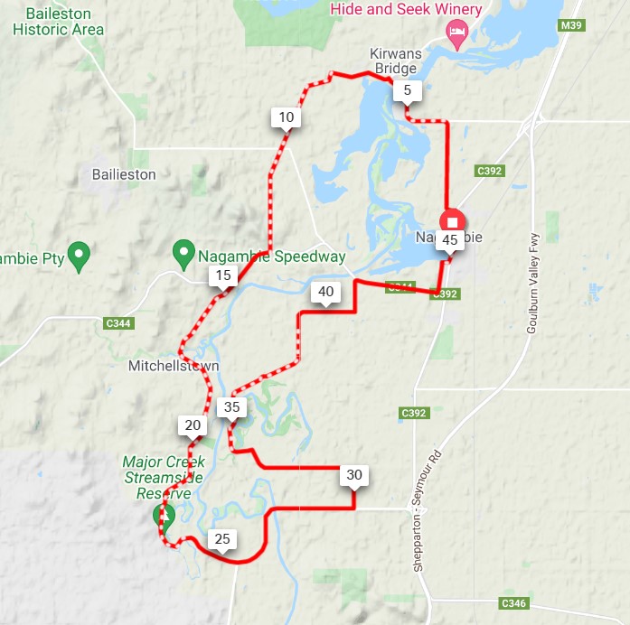
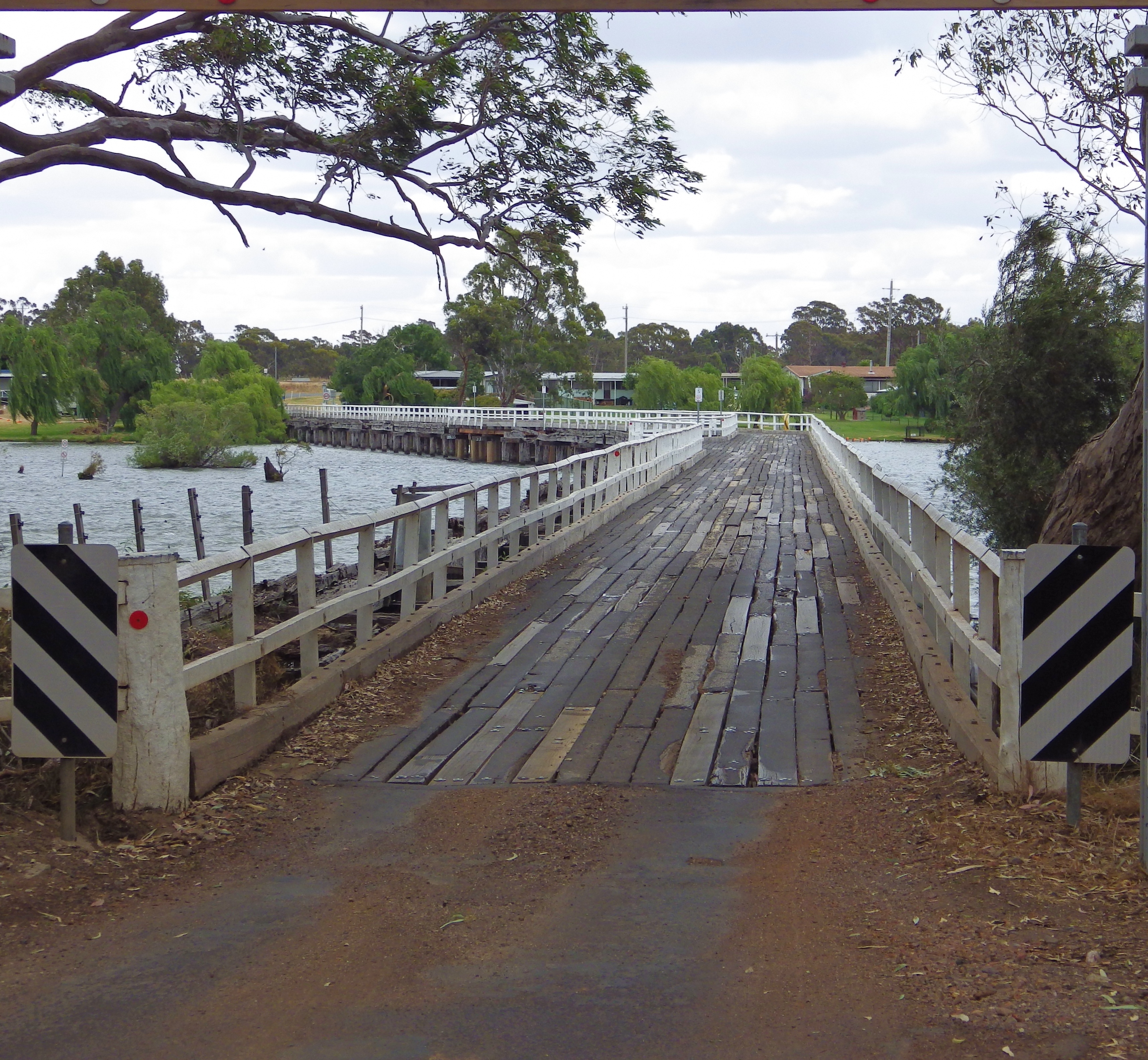
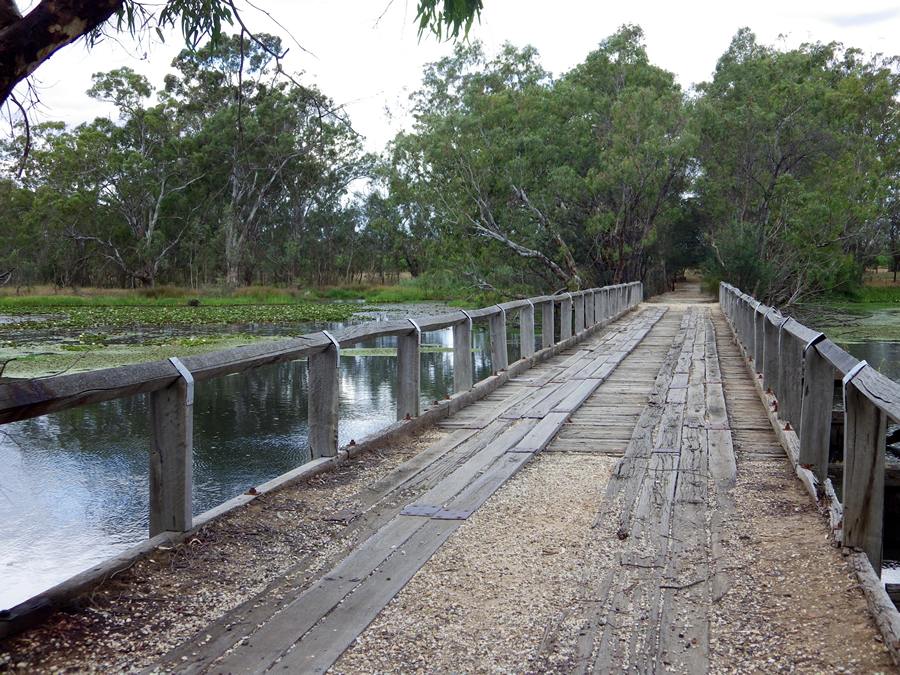
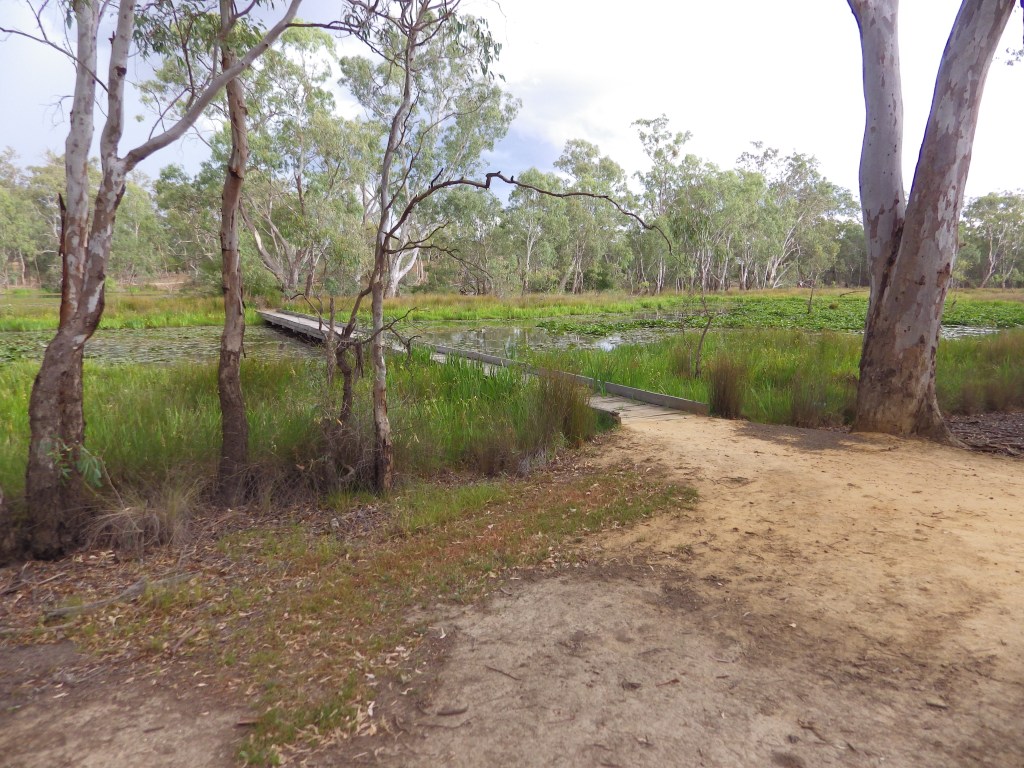
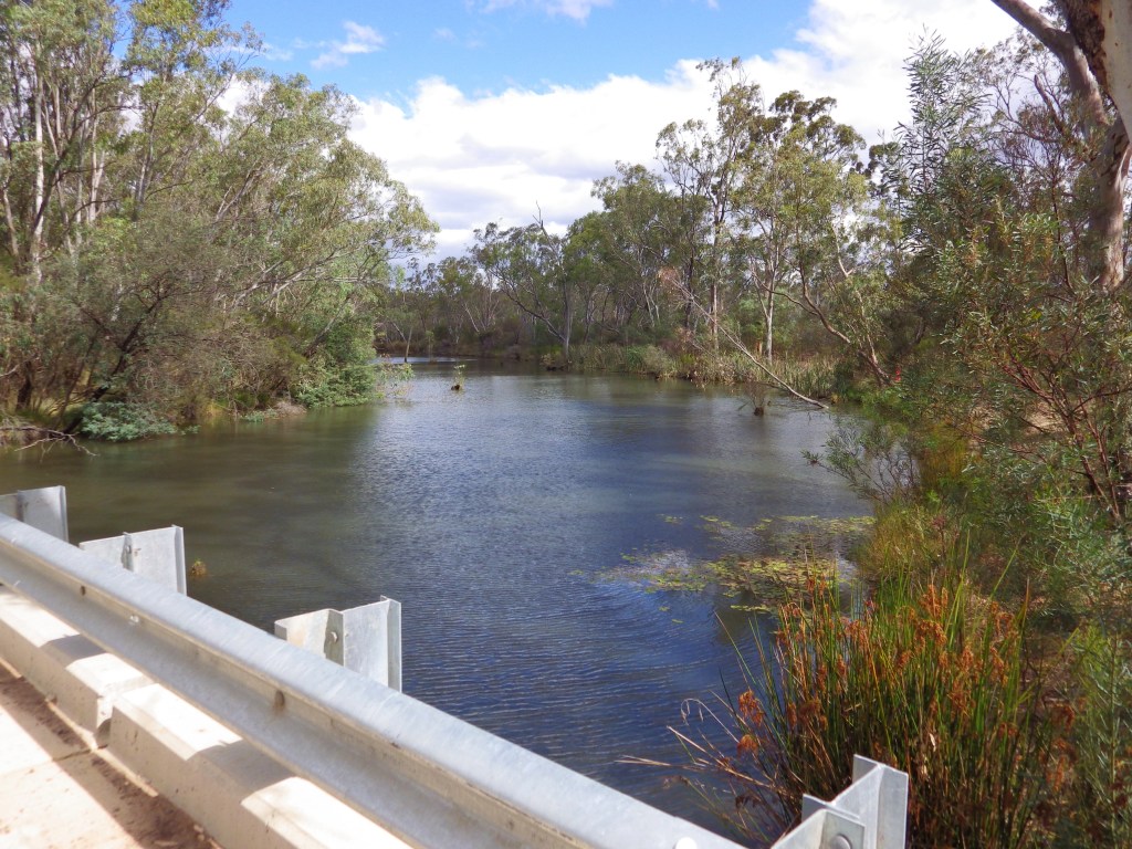
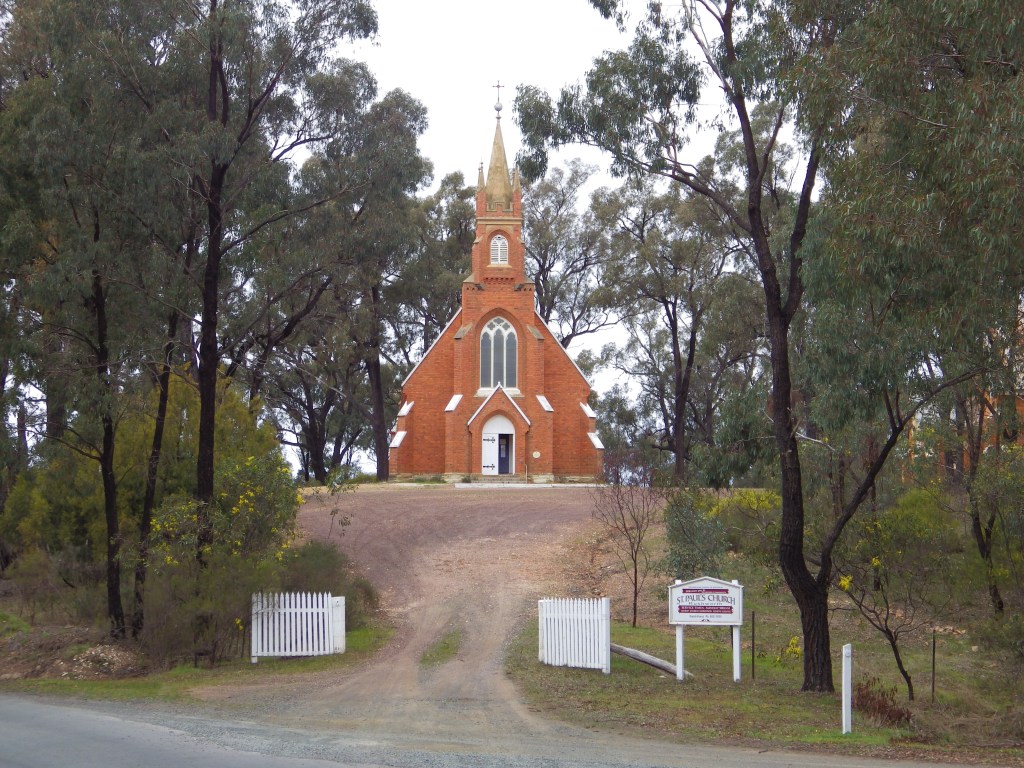
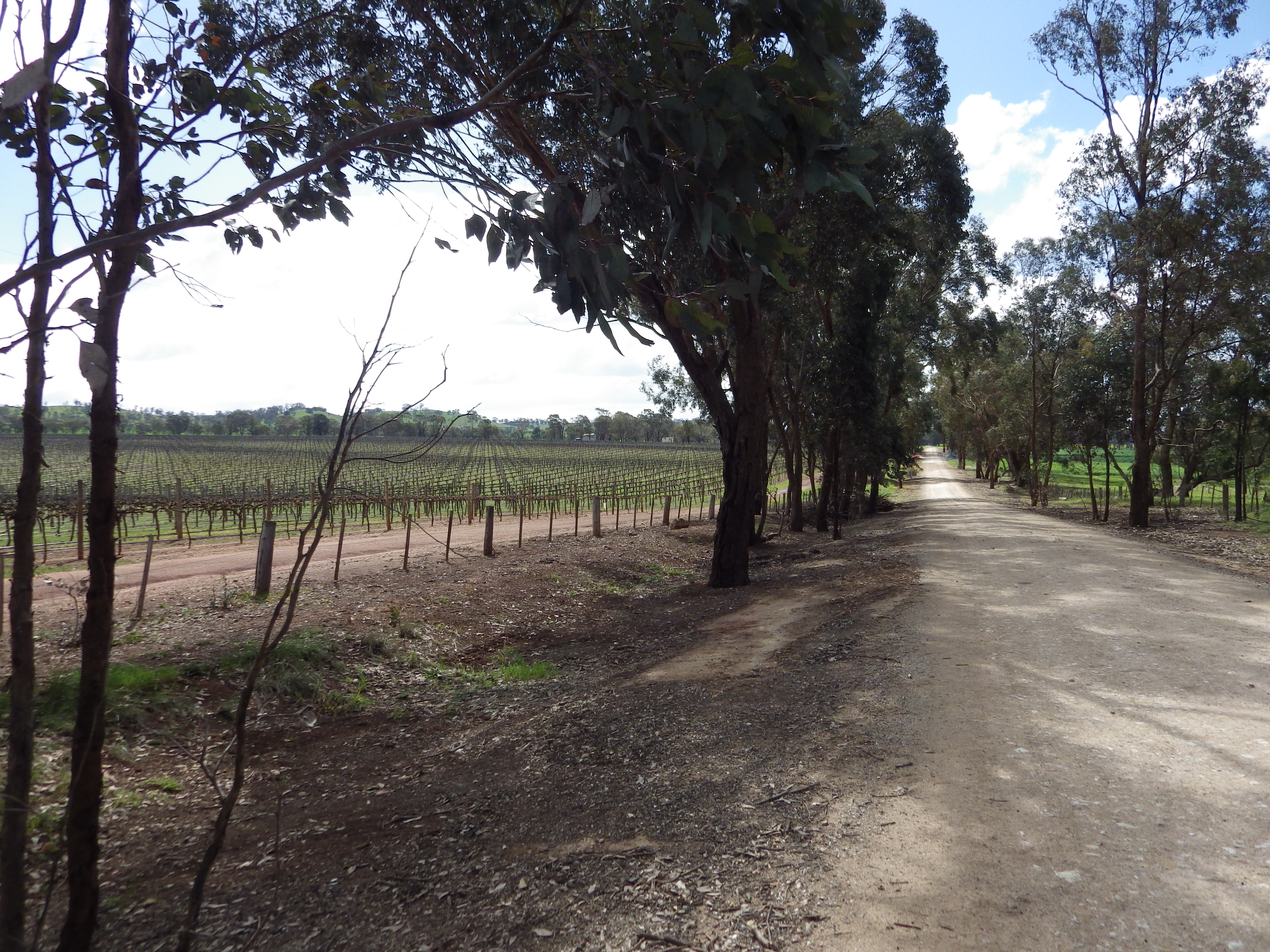
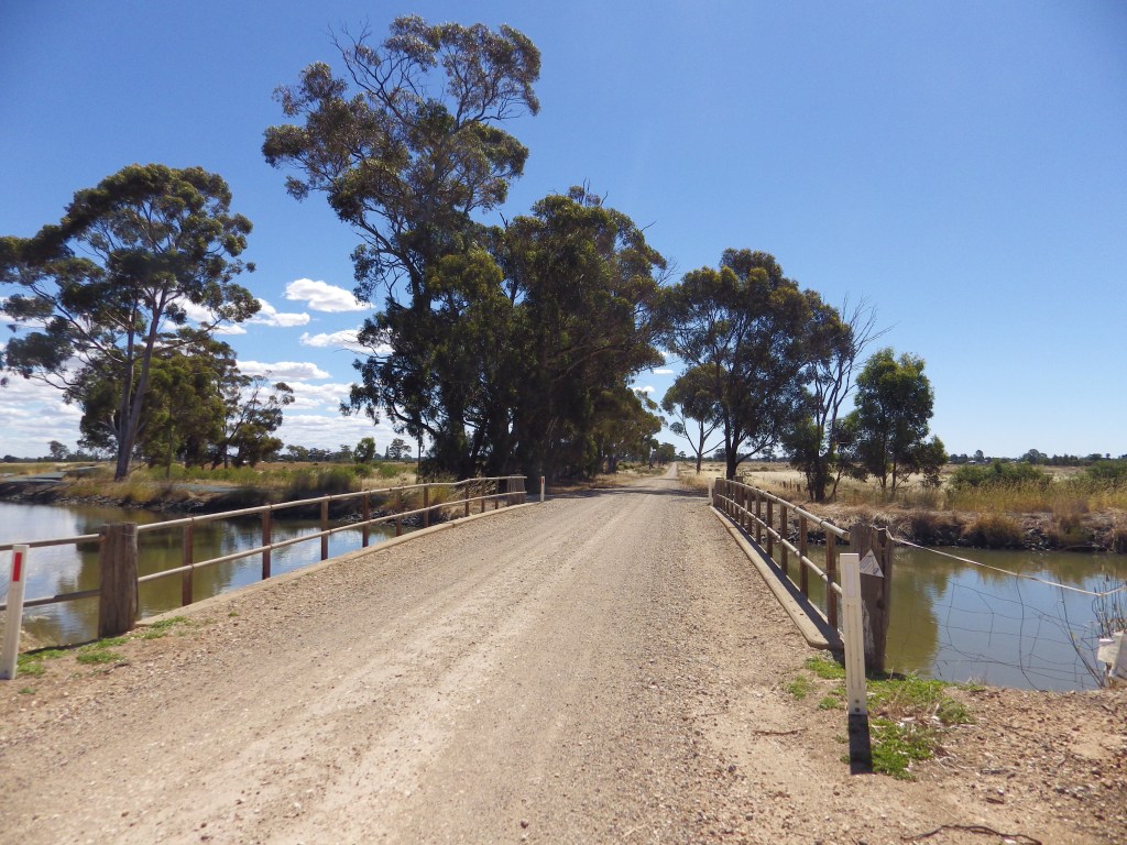
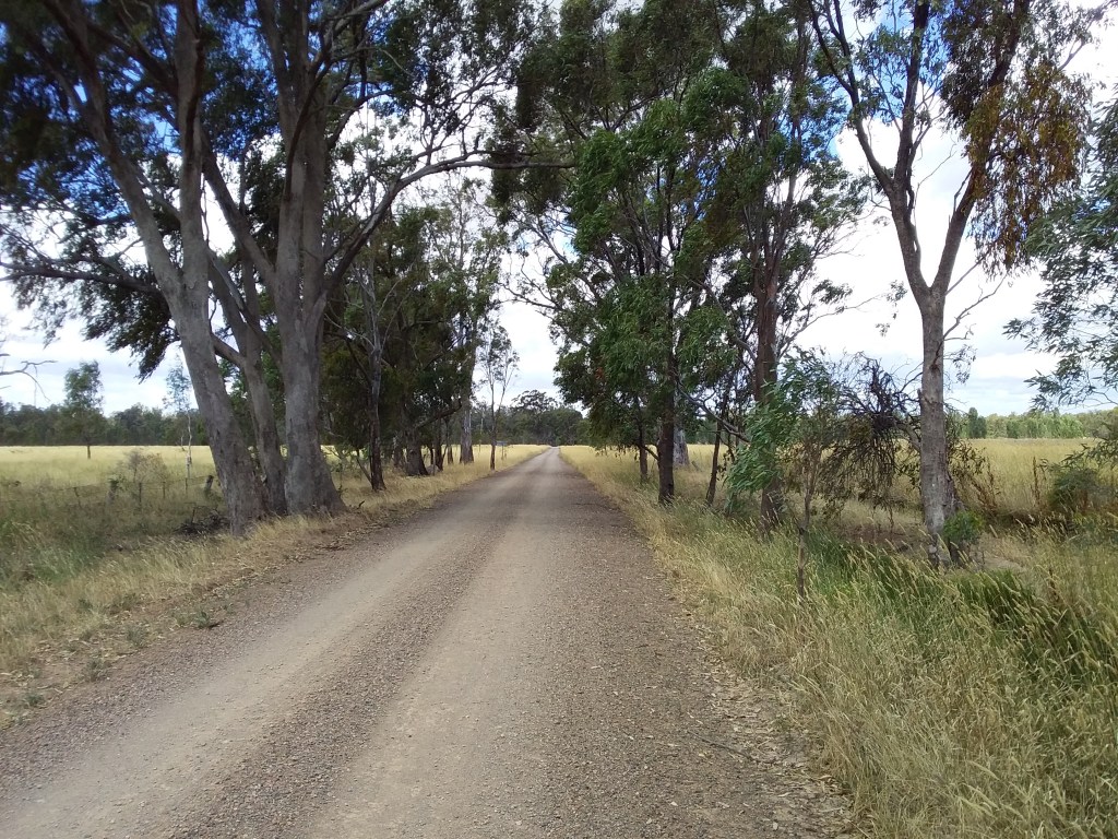
2. Nagambie Meander
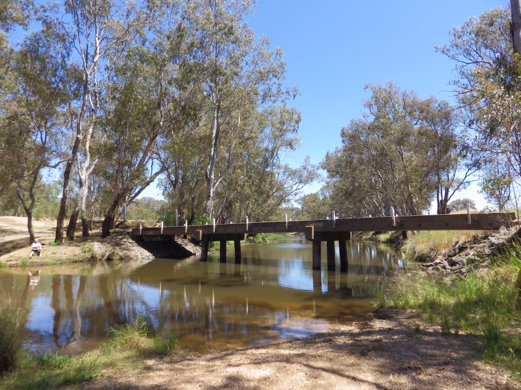
Update March 2026: Kirwans Bridge is open again for walkers (with bikes). It may close still intermittently for construction to repair the bridge for car traffic.
- Distance: 47 km loop
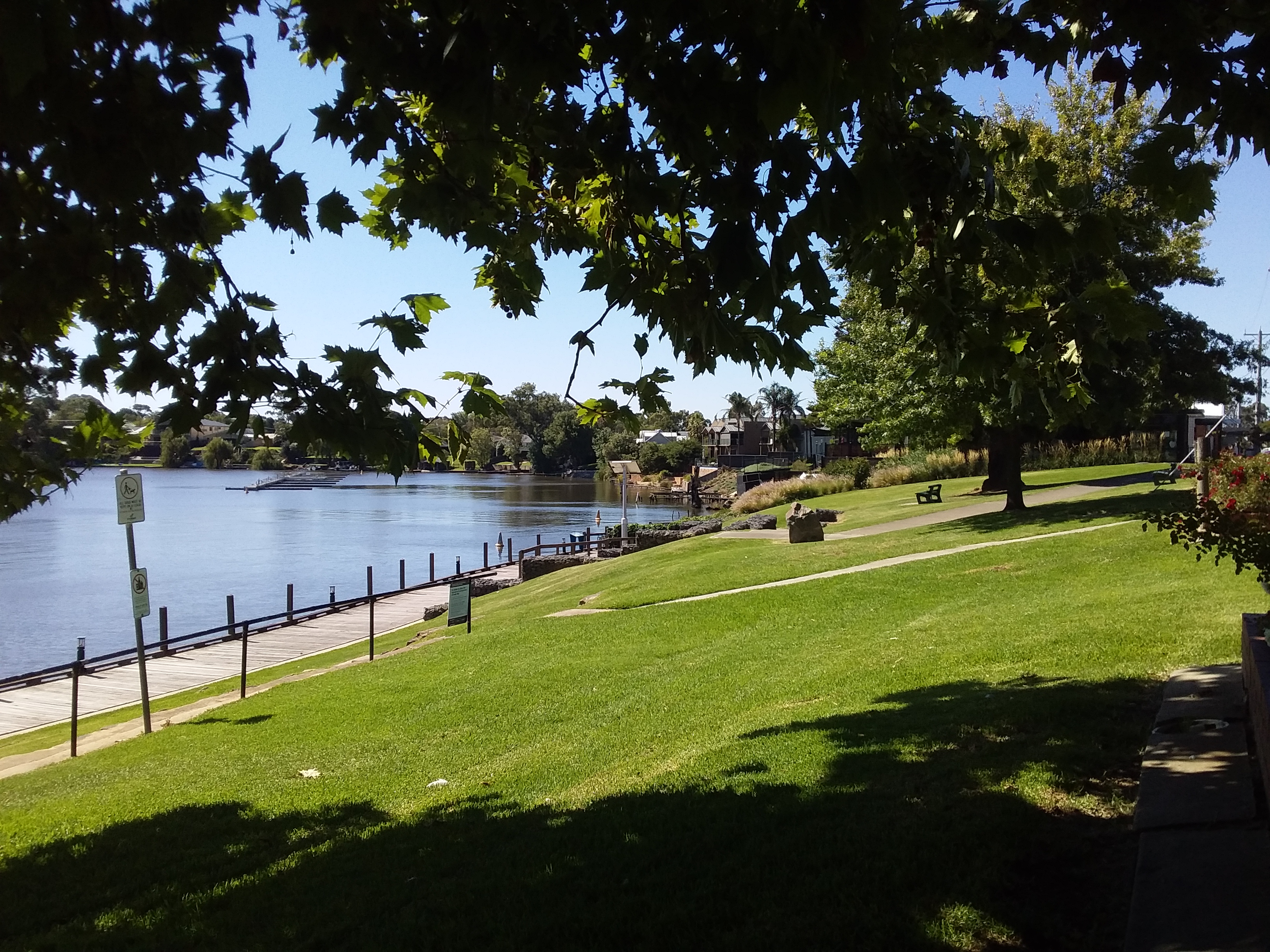
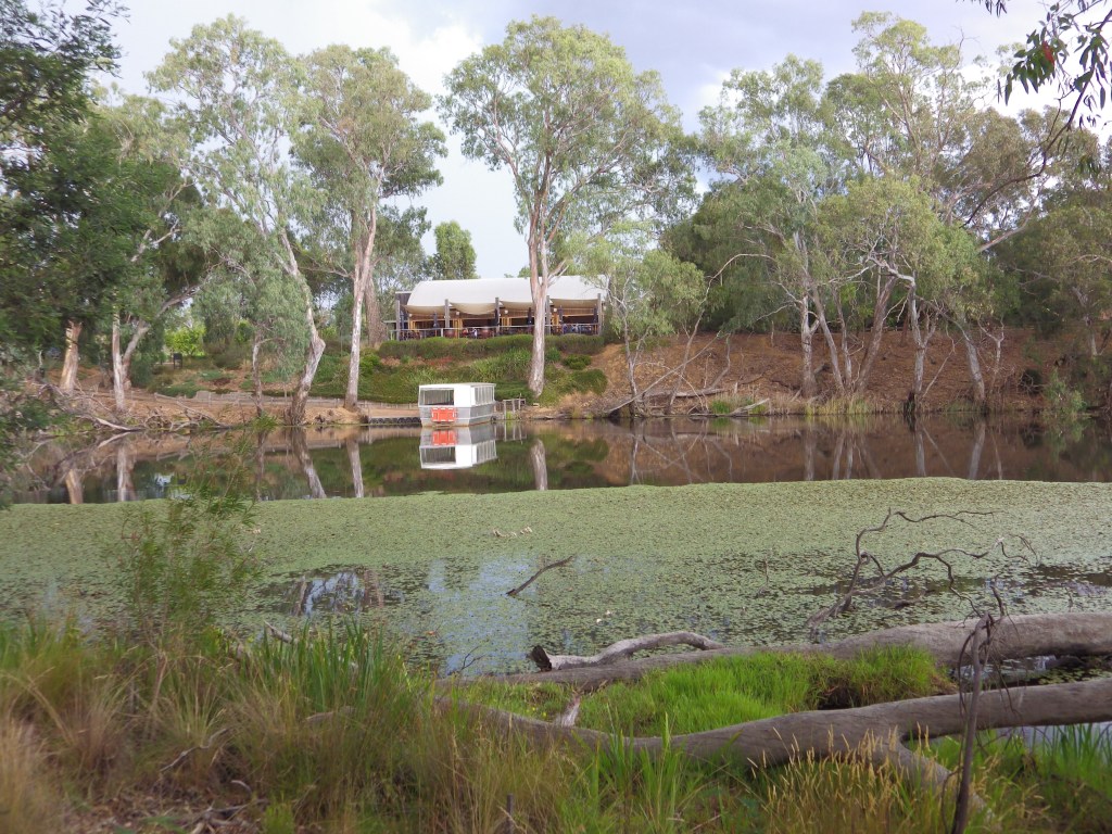
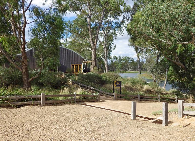
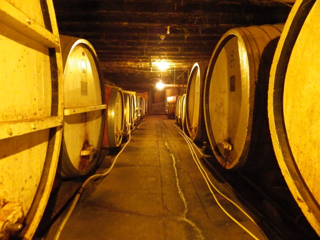
- Description: A scenic backroad route around Nagambie Lake, with opportunity for winery stops.
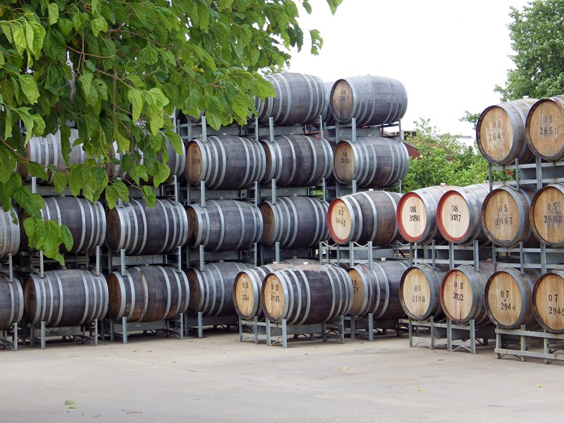
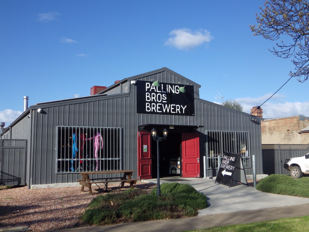
- Amenities: Nagambie, Tahbilk Winery, Michelton Winery.
- Accommodation: Nagambie, Michelton Winery, Major Creek Reserve (camp).
- Ride surfaces: Approx 40% gravel roads, 55% quiet sealed roads, 5% busy sealed roads.
- Terrain: Flat, 1 small 3% hill.
- Suggested Ride: Start at Nagambie, ride anti-clockwise.
- Highlights: Kirwans Bridge, Tahbilk Winery and eco trails.
- Link to gpx file: Download gpx file from this link – Nagambie Meander
- More detail: See Nagambie Meander page
- Connects with: Yellowbelly Track, Ghostown Gambol, Kirwans Rushy Whroote.
- Pics:


.
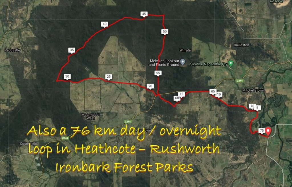
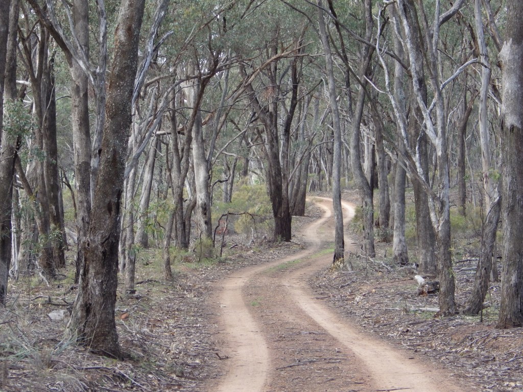
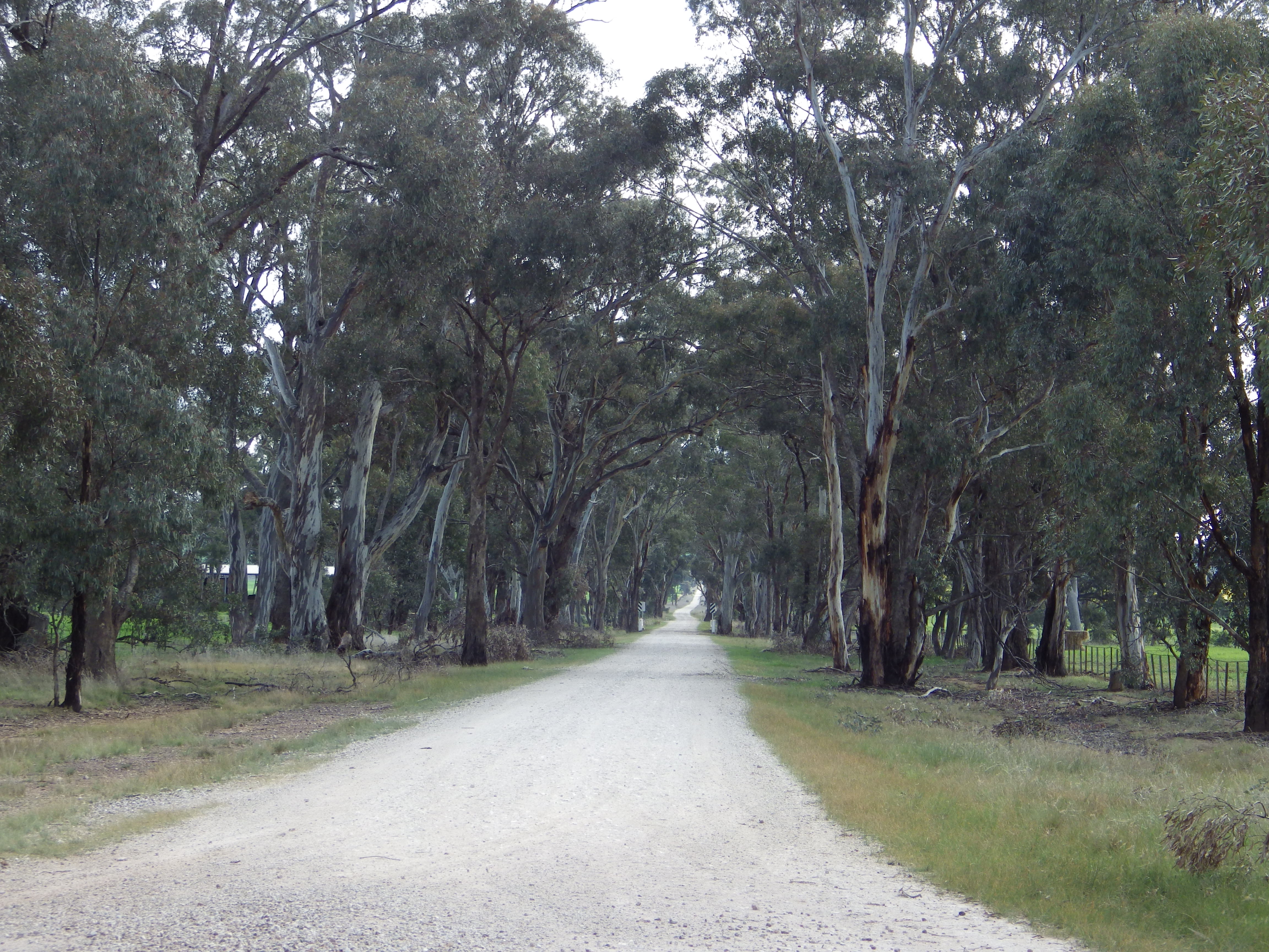
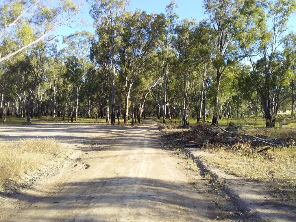
3. Ghostown Gambol
- Distance: 76 km loop
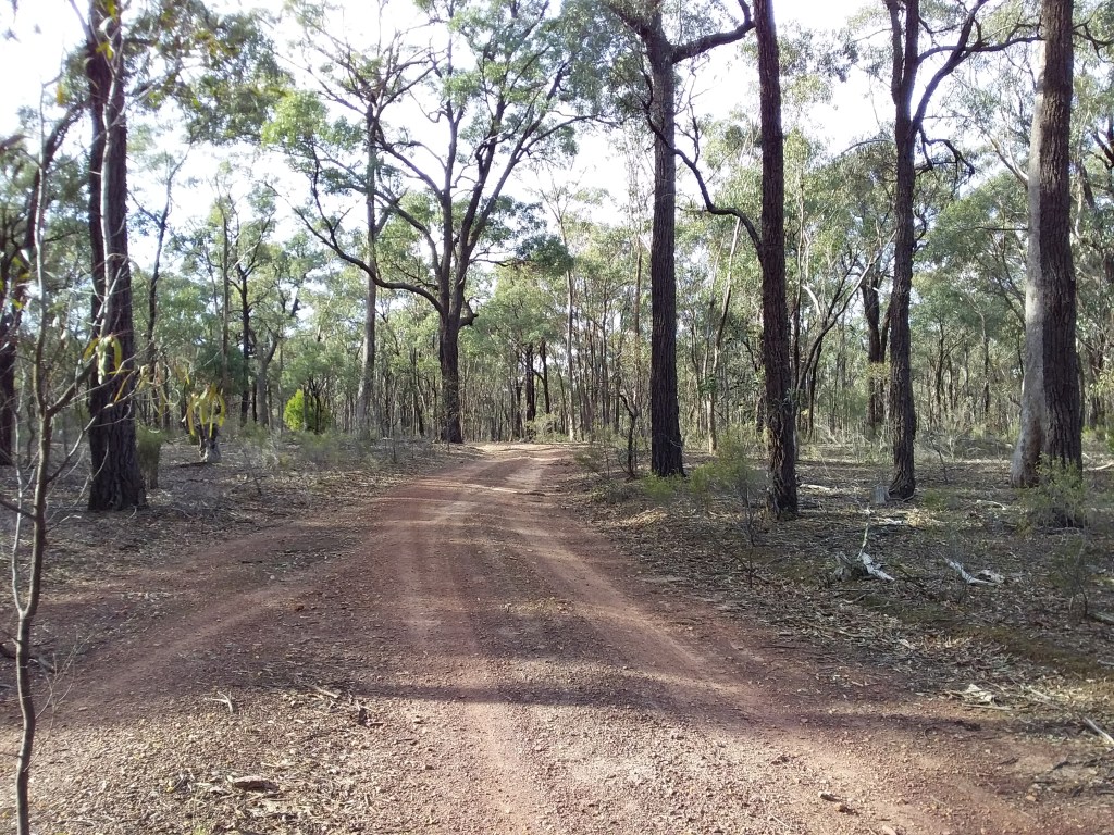
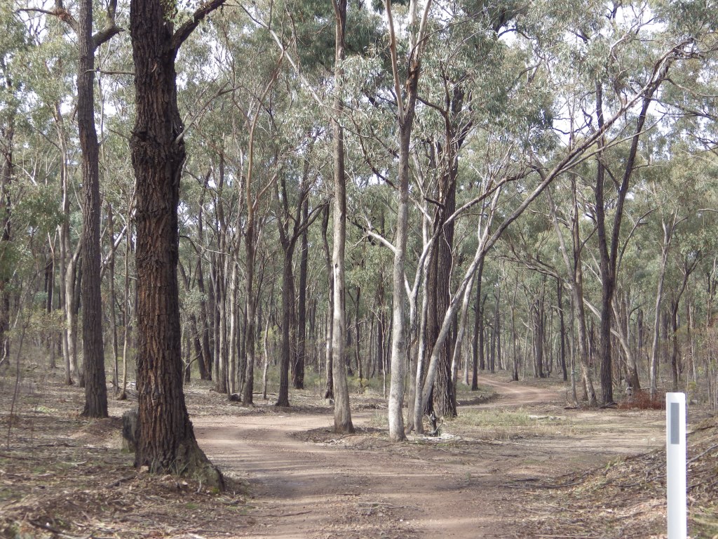
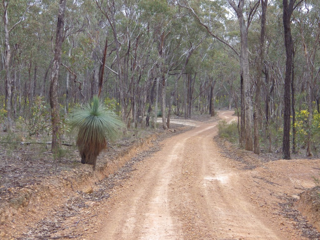
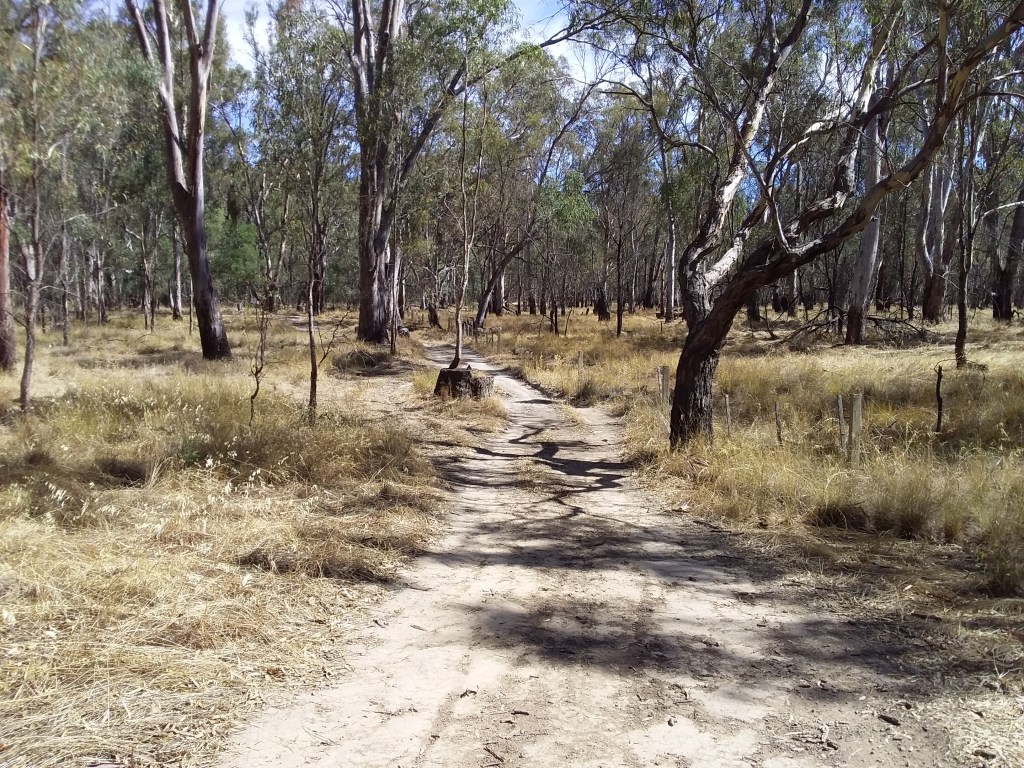
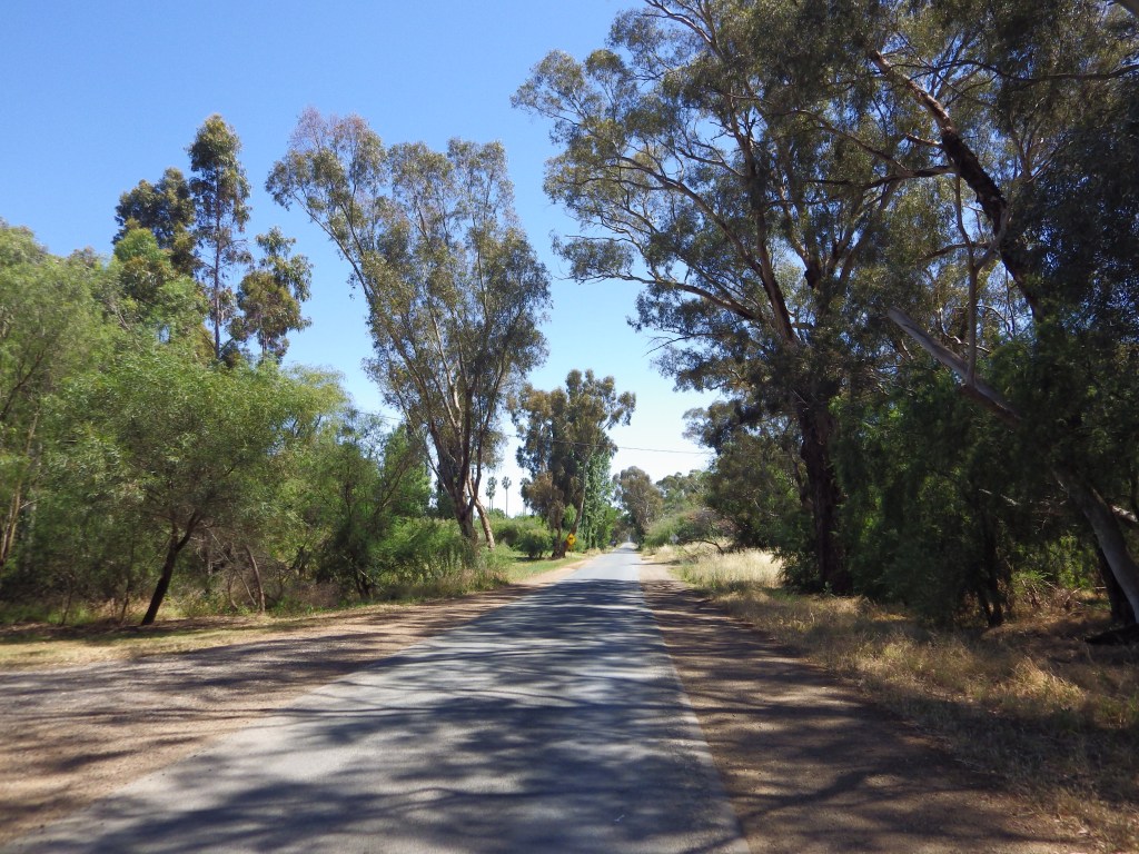
- Description: The ride is mostly on secluded gravel tracks, through the scenic native ironbark forests of the Heathcote-Rushworth National and State Parks. It will mainly be used as a southern link between other routes.
- Amenities: None on route. Michelton Winery is closest amenities to route. No water on the route so carry what you need, plus extra for emergency.
- Accommodation: Major Creek (camp with toilets).
- Ride surfaces: 84% gravel, 10% quiet sealed roads, 6% busy sealed roads.
- Terrain: Flat and rolling, there are many short uphill sections along the route. Total vertical metres = 512 m.
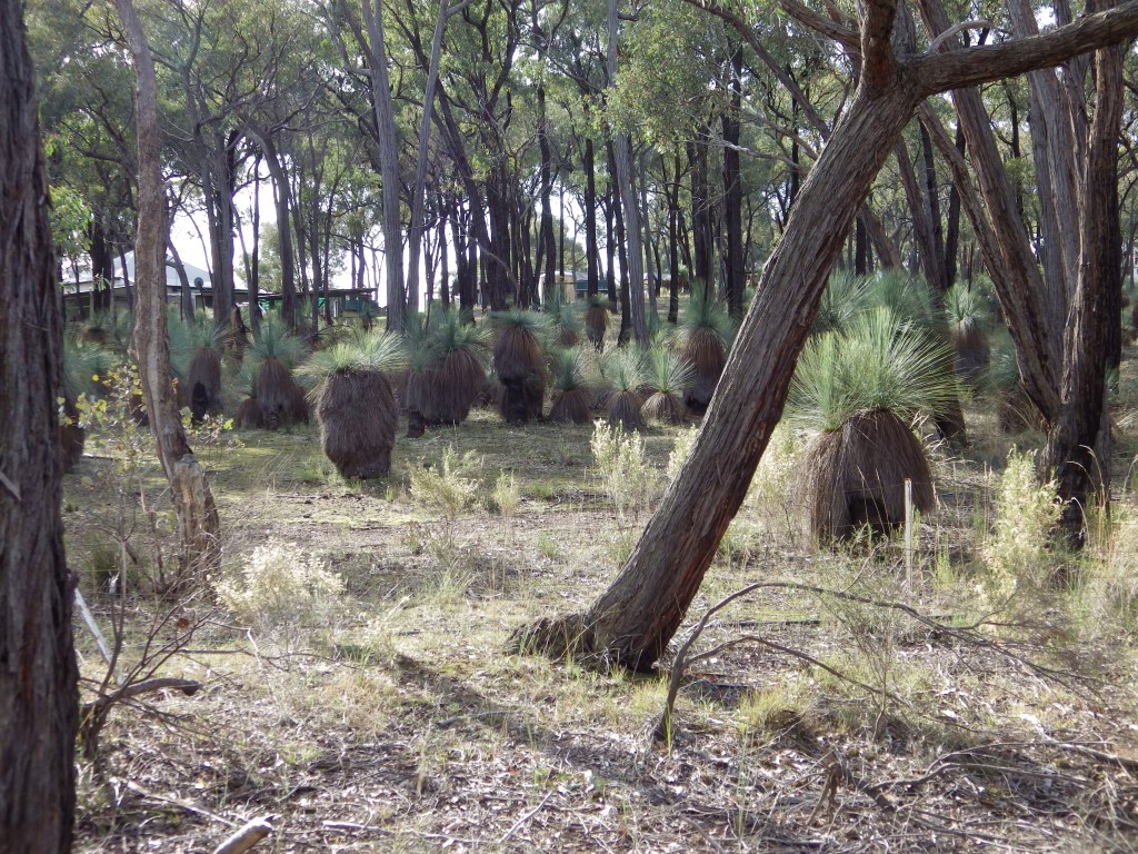
- Highlights: Being panicked by clumps of human-sized grass trees along Delaney Road when your primitive brain reflex tells you they are scary groups of spear carrying natives.
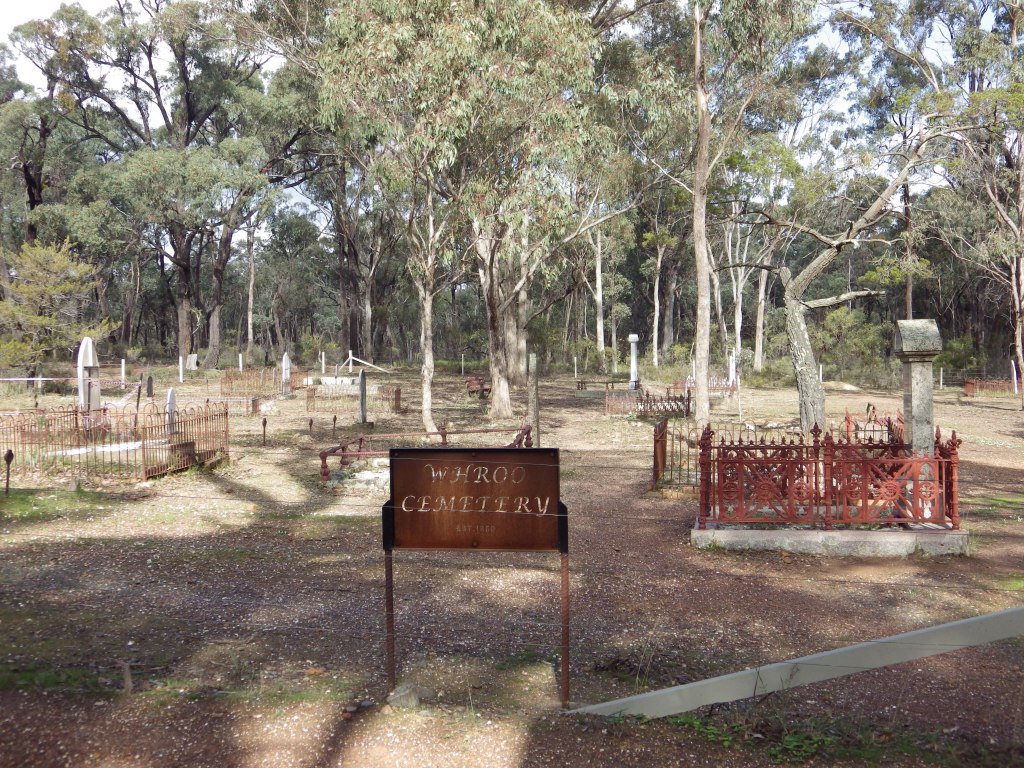
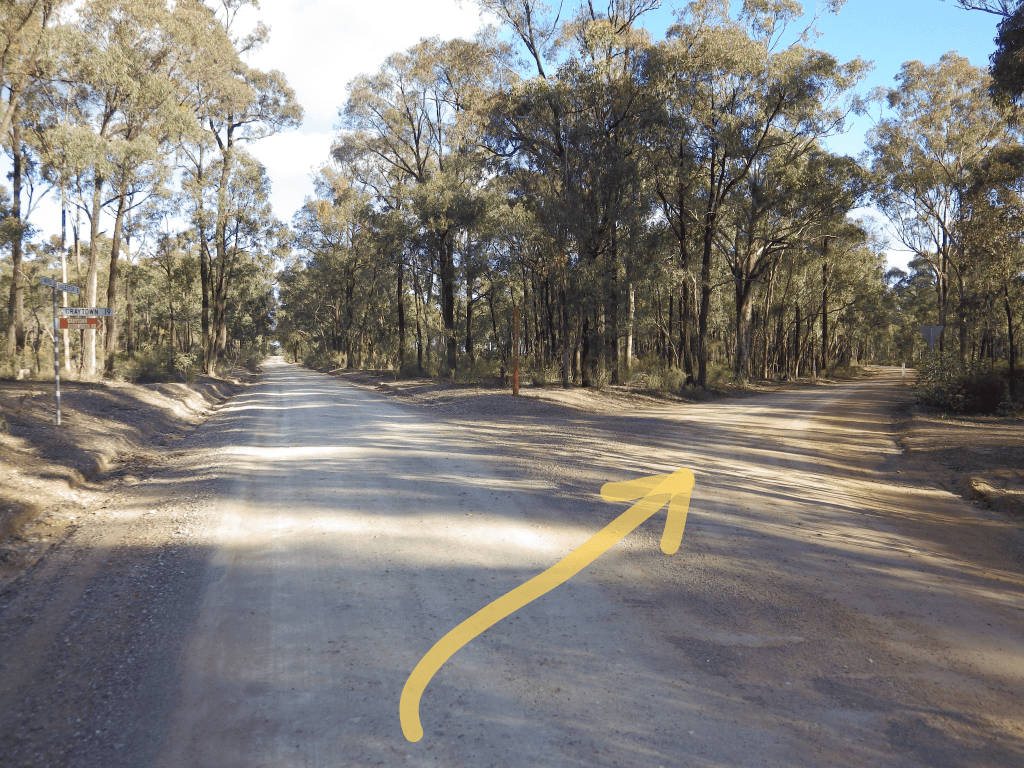
- Nearby Interest: Melville’s Lookout. Ghost towns for history buffs – Mitchellstown, Graytown, Redcastle, Whroo and Bailieston.
- Link to gpx file: Download gpx file from this link – Ghostown Gambol GPX file
- More detail: See Ghostown Gambol page and Youtube ride through video – Ghostown Gambol
- Connects with: Yellowbelly Track, Nagambie Meander, Golden Black Track.
- Pics:


.
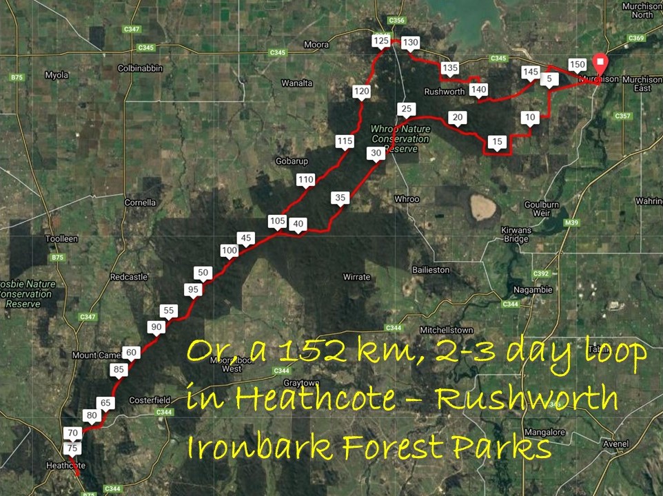
4. Golden Black Track
- Distance: 152 km loop
- Description: The ride is mostly on secluded gravel tracks, through the scenic native ironbark forests in the Heathcote-Rushworth National and State Parks.
- Amenities: Murchison, Heathcote, Rushworth. No water between towns so carry what you need, plus extra for emergency.
- Accommodation: Murchison, Heathcote, Rushworth. Free camping and some designated campsites in Heathcote-Rushworth State and National Parks.
- Ride surfaces: 6% stabilized path, 82% gravel, 10% quiet sealed roads, 2% busy sealed roads.
- Terrain: There are no major climbs. The route rises about 160m and then descends. However it is rolling – there are lots of short uphill sections along the route. Total vertical metres = 1,184 m.
- Suggested Ride: Start at Murchison, ride to Heathcote (the longest leg) and overnight there. Return more leisurely the next day with stop off in scenic Rushworth.
- Highlights: The ironbark forest, particularly when wattle is in bloom (early spring). Rushworth historic town.
- Link to gpx file: Download gpx file from this link –Golden Black Track gpx file
- More detail: See Golden Black Track page
- Connects with: O’Keefe Rail Trail, Reap the Red Ridge, Ghostown Gambol, Camel Cornella, Kirwans Rushy Whroote, Lap of Local Lakes, Carag Carag Wetlands Wetlands, Waranga Whirl, Yellowbelly Track.
- Pics:


.
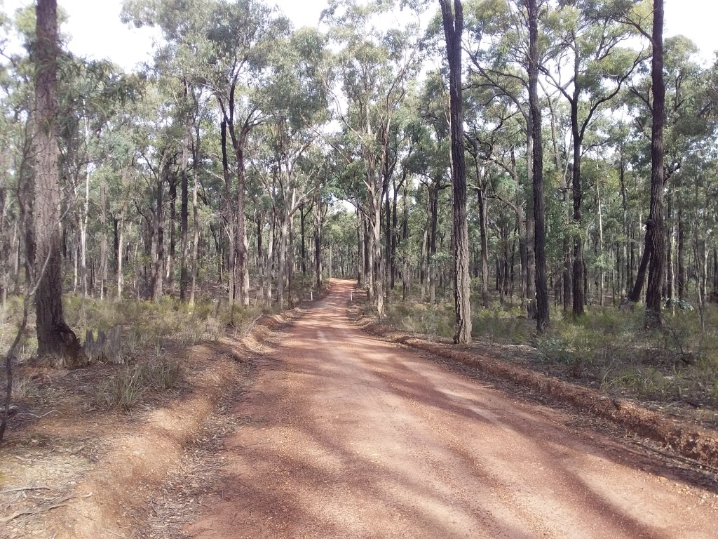
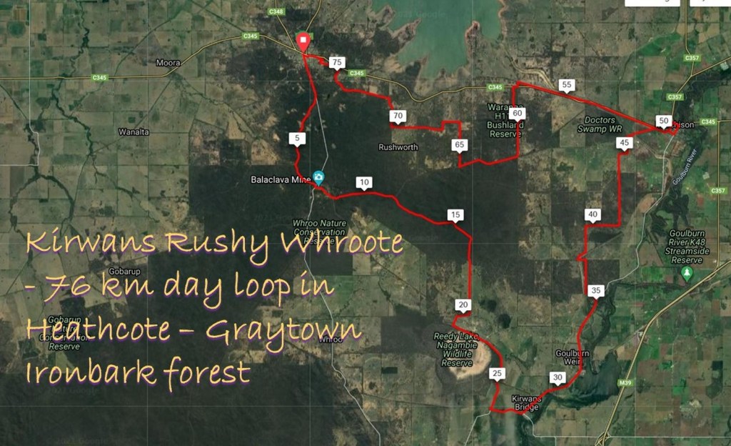
5. Kirwans Rushy Whroote
- Distance: 78 km loop
- Description: The ride is mostly on secluded gravel tracks, through the scenic native ironbark forests in the Heathcote-Rushworth National and State Parks.
- Amenities: Rushworth, Murchison. Nagambie (off-route).
- Accommodation: Rushworth, Murchison. Free camping and some designated campsites in Heathcote-Rushworth State and National Parks.
- Ride surfaces: 12% stabilised path, 69% gravel, 19% quiet sealed roads, 1% busy sealed roads.
- Terrain: The ride is flat, although rolling in parts. Total vertical metres = 512m.
- Suggested Ride: Start at Rushworth and ride anti-clockwise.
- Highlights: The ironbark forest, particularly when wattle is in bloom (early spring). Rushworth historic town.
- Link to gpx file: Download gpx file from this link –Kirwans Rushy Whroote
- More detail: See Kirwans Rushy Whroote page and Youtube ride through video – Kirwans Rushy Whroote
- Connects with: Ghostown Gambol, Golden Black Track, Yellowbelly Track, Nagambie Meander, Waranga Whirl.
- Pics:


.
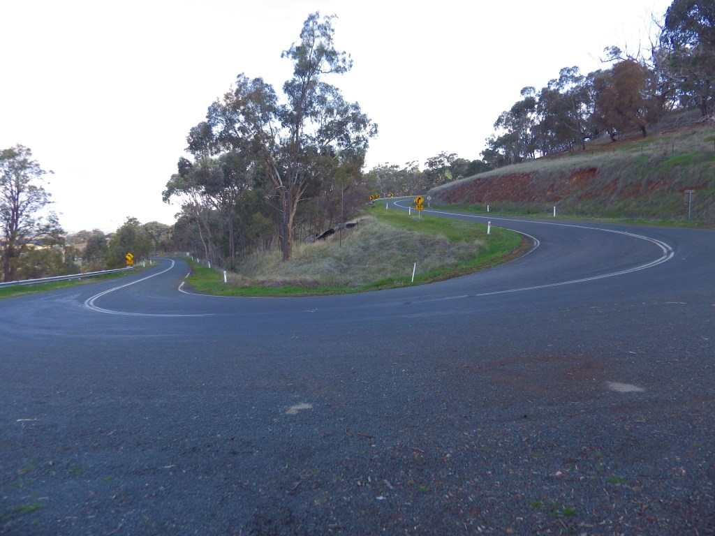
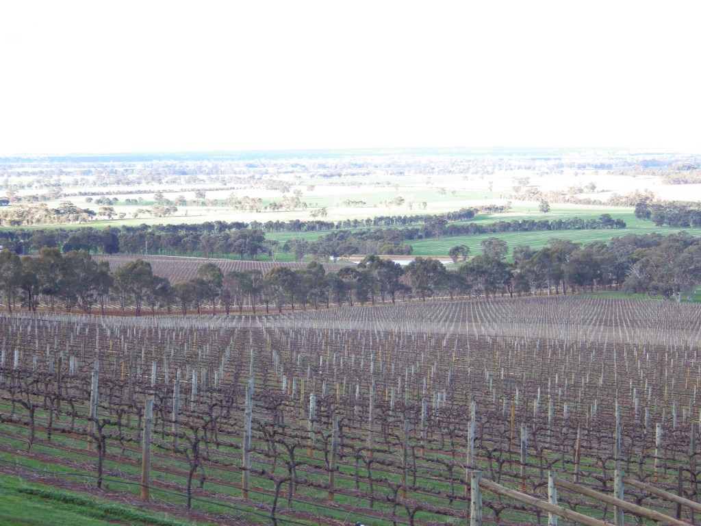
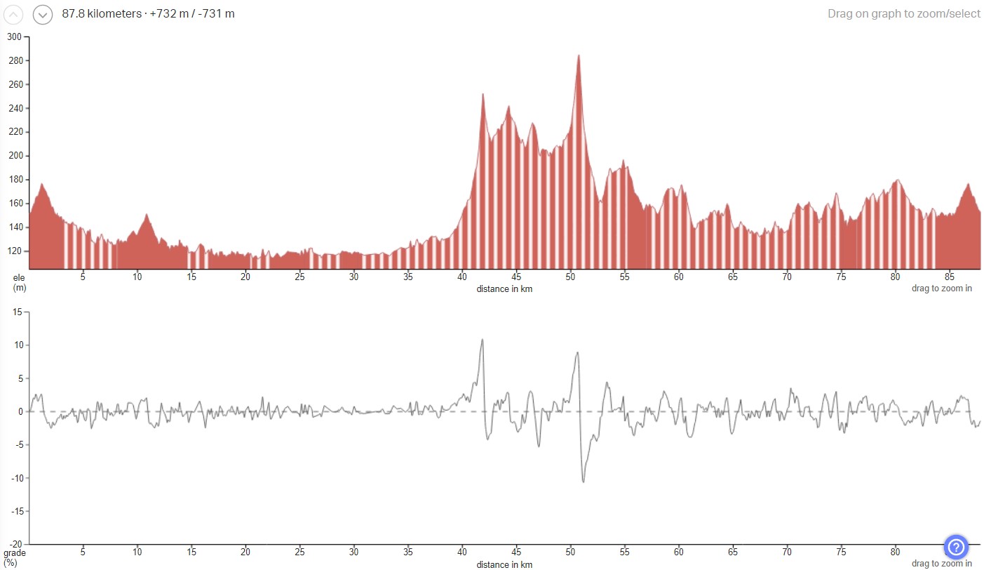
6. Reap the Red Ridge
- Distance: 7o km loop
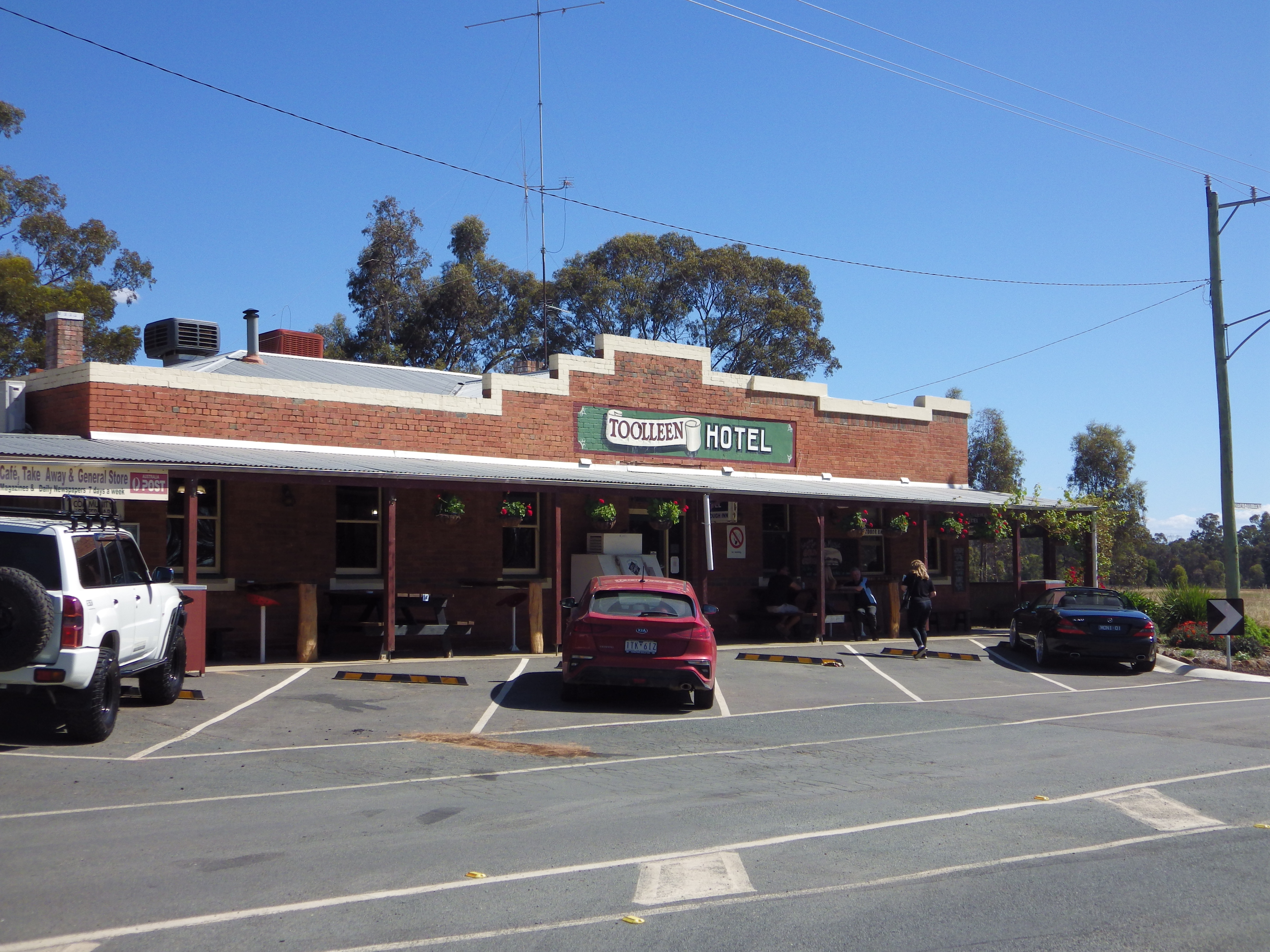
- Description: Northern loop from Heathcote , either side of Mt Camel Range and crossing the range at Chinamen’s Bend, near Toolleen.
- Amenities: Heathcote, Toolleen. Possibly Cellar Doors along the way if open.
- Accommodation: Heathcote. Heathcote National Park (free camp). Shiraz Republic (off route, but close to Toolleen).
- Ride surfaces: 74% gravel, 19% quiet sealed roads, 7% busy sealed roads.
- Terrain: Rolling with total vertical meters = 700m. There is one short (1-2km long), steep climb of 9% over the Mt Camel Range at Chinamen’s Bend.
- Suggested Ride: Start at Heathcote, ride anti-clockwise to complete the steep climb before lunch at Toolleen Hotel.
- Highlights: Redcastle forest, Pook Road, scenic vineyards, Chinamen’s Bend climb over Mt Camel Range.
- Link to gpx file: Download gpx file from this link – Reap the Red Ridge
- More detail: See Reap the Red Ridge page
- Connects with: O’Keefe Rail Trail, Leen Down the Dale, Golden Black Track, Camel Cornella.
- Pics:


.
7. Leen Down the Dale
- Distance: 77 km loop.
- Description: I think this route will function more as separate access legs, rather than as a loop. The western leg follows Campaspe River and includes access to streamside reserves. The northern leg offers the most unsealed road and least traffic. The southern leg between Axedale and Toolleen is sealed and has more traffic than I would like.
- Amenities: Pubs at Axedale, Toolleen and Goornong. The new Goornong Train Station in 2022 may prompt more food outlets to open there.
- Accommodation: Minimal accommodation in towns. Farmstays or AirBnB (maybe). Barnadown and English Bridge reserves (camping).
- Ride surfaces: 50% gravel and unsealed, 50% sealed road.
- Terrain: Flat with some rolling sections. Total vertical metres = 367m.
- Suggested Ride: No preference for this one. It depends on what the rider’s overall plans are.
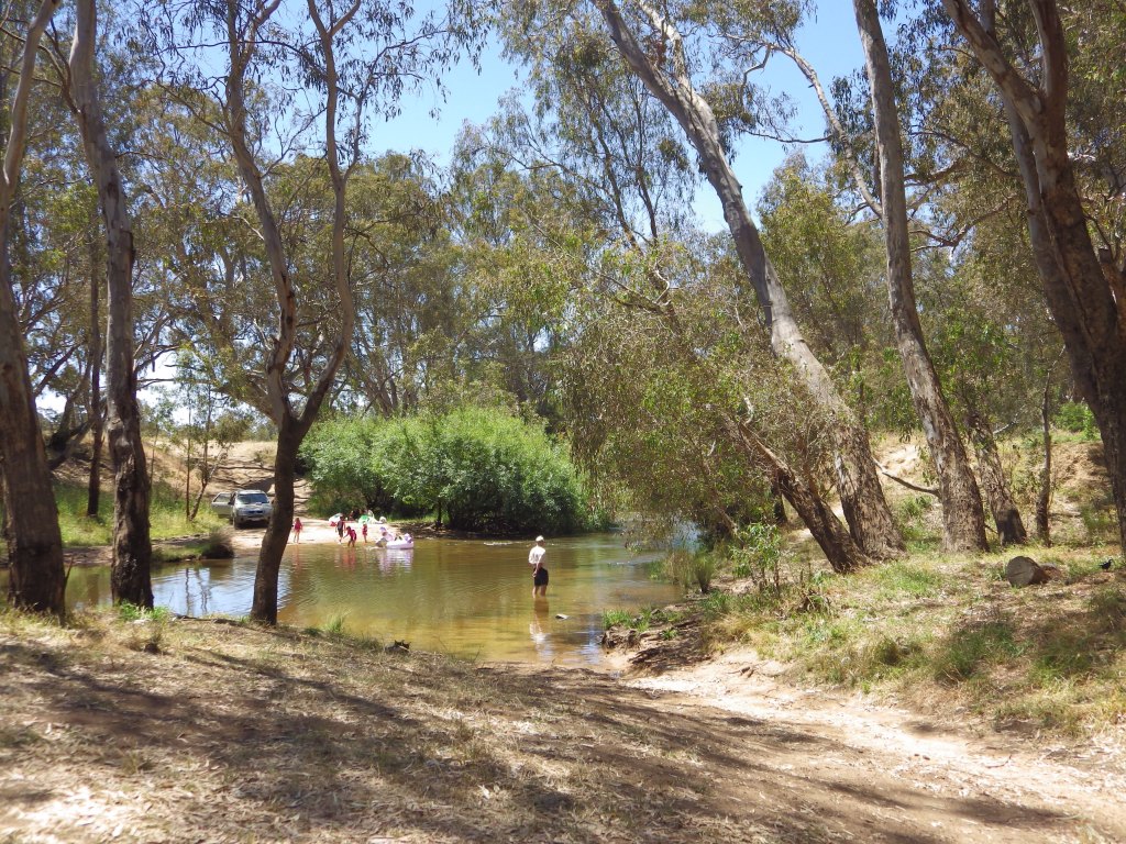
- Highlights: Axedale Tavern. Campaspe streamside reserves – Barnadown and English Bridge. English Bridge campsite and swimming hole.
- Link to gpx file: Download gpx file from this link – Leen Down the Dale
- More detail: See Leen Down the Dale page
- Connects with: O’Keefe Rail Trail, Reap the Red Ridge, Nabbin My Booty.
- Pics:


.
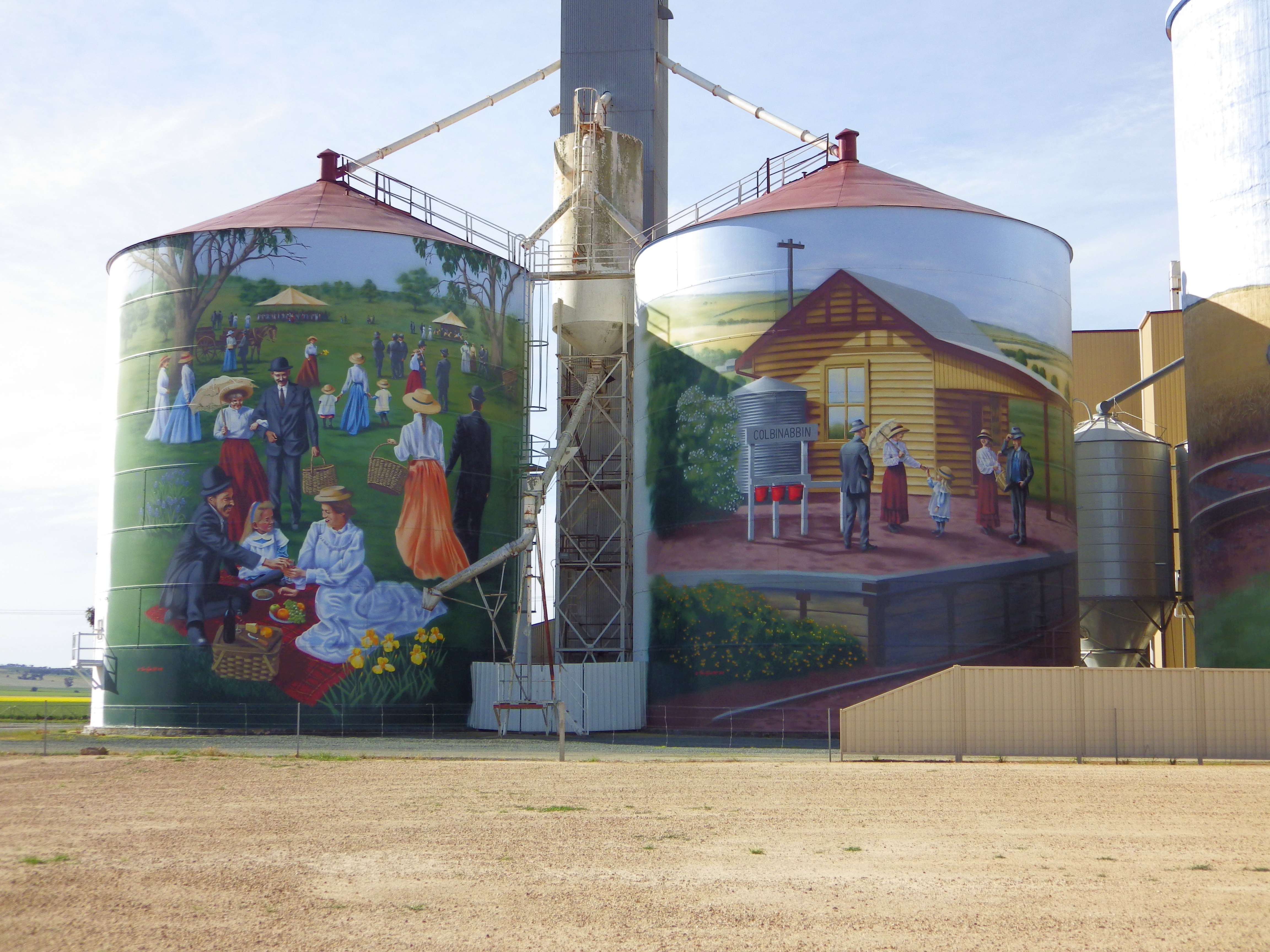
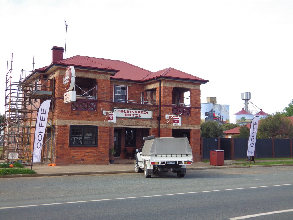
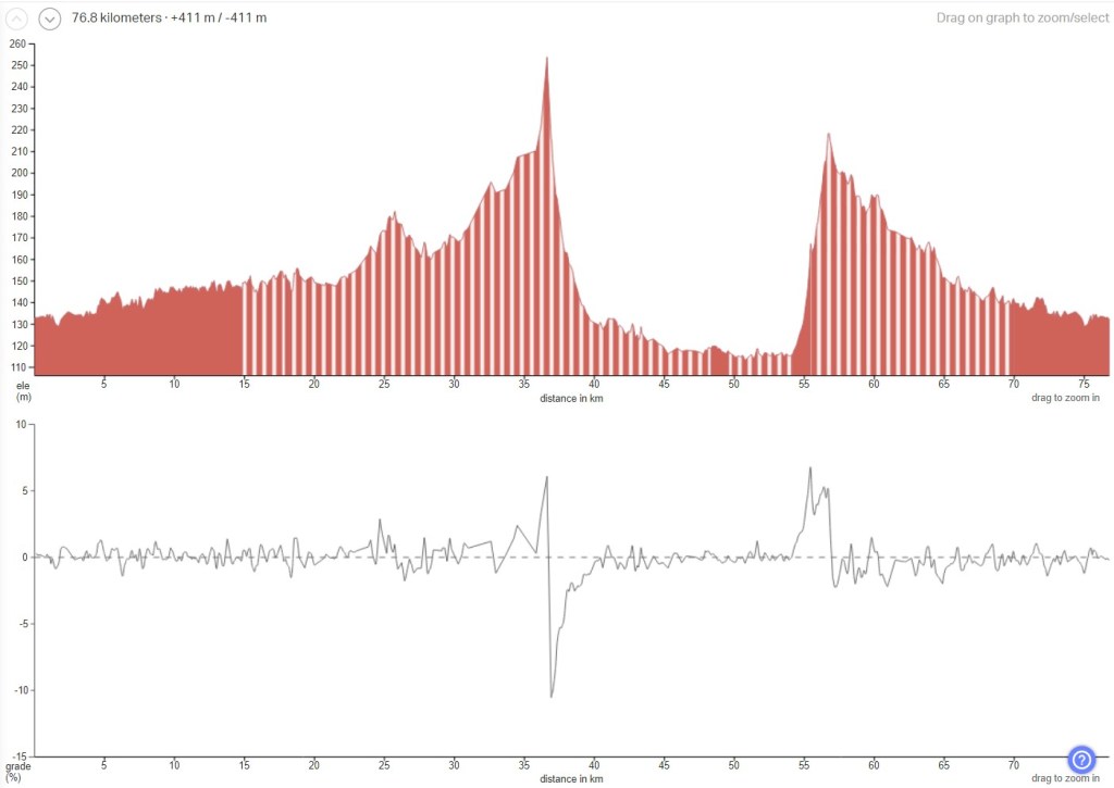
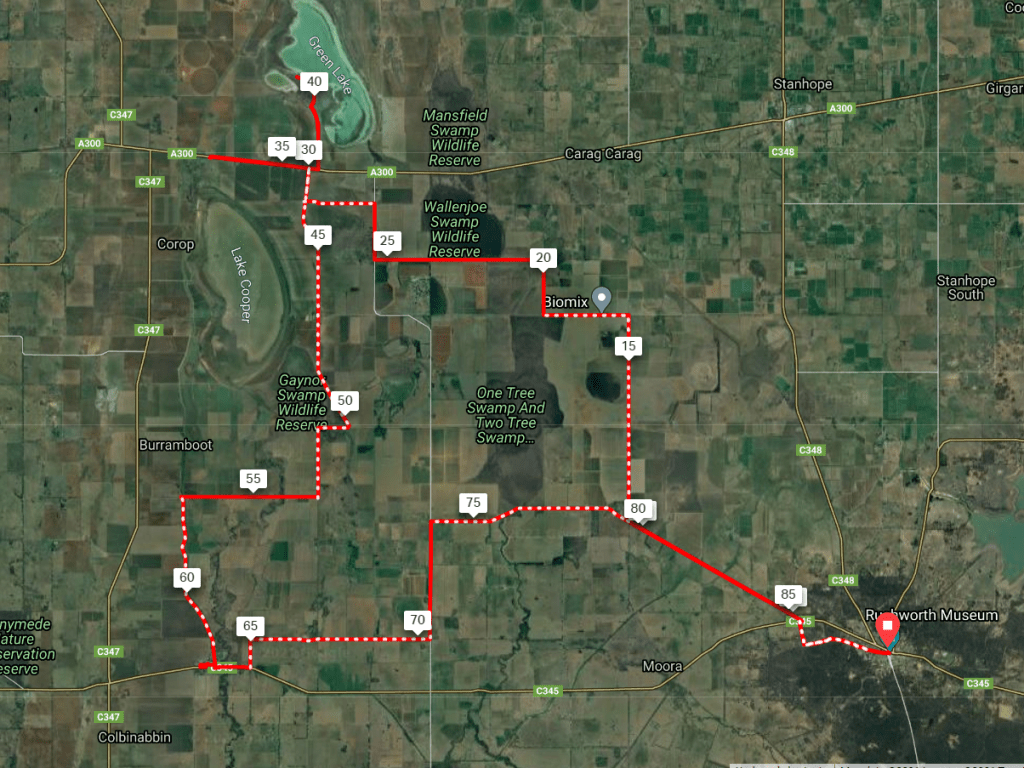
8. Camel Cornella
- Distance: 88 km loop.
- Description: A brilliantly coloured surprise packet in a little known area. Traverses rich farming country between Rushworth and Mt. Camel Range with 3 scenic amenity stops. All 3 stops offer accommodation so you can make it into a more relaxed overnight ride if the distance is a concern.
- Amenities: Rushworth, Colbinabbin, Shiraz Republic
- Accommodation: Rushworth, Colbinabbin, Shiraz Republic. Rushworth Forest (camp). Maybe also camping in Cornella and Gobarup reserves.
- Ride surfaces: 72% gravel with some clay roads, 28% quiet sealed roads.
- Terrain: Mostly flat to rolling, but with 2 short steep unsealed climbs (9-10%) of Mt.Camel Range. Don’t be deterred, walk them if you need to, the scenic views are worth it. Total vertical metres = 732m.
- Suggested Ride: Start at Rushworth, coffee & snacks or lunch at Colbinabbin, Beer and Pizza at Shiraz Republic after the 2 climbs, then slightly downhill back to Rushworth. All 3 stops offer accommodation so you can make it into a more relaxed overnight ride if the distance is a concern.
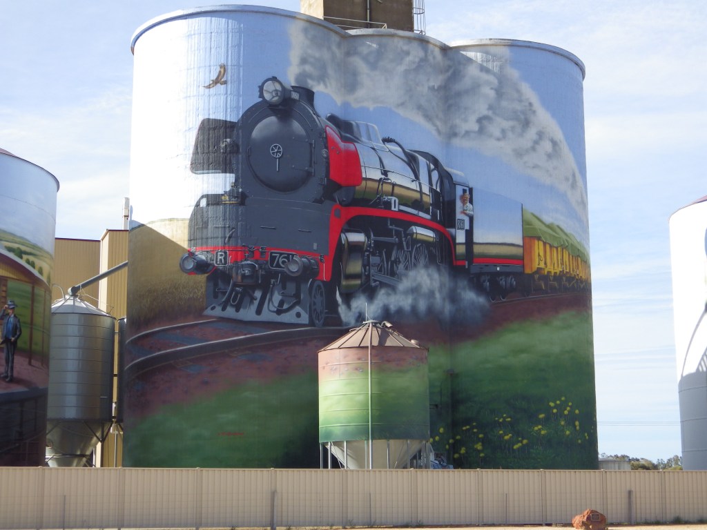
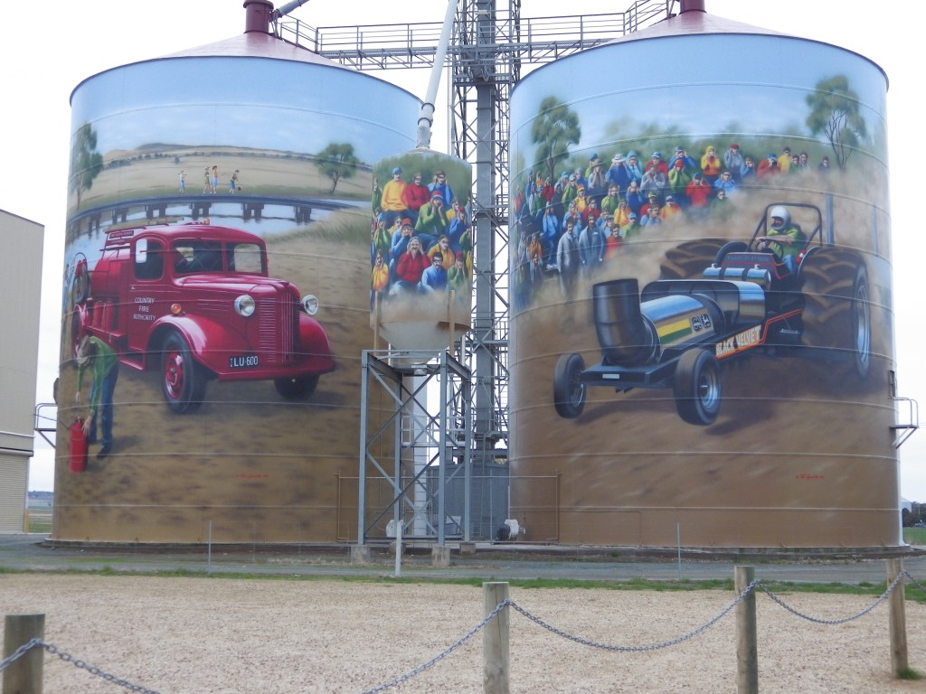
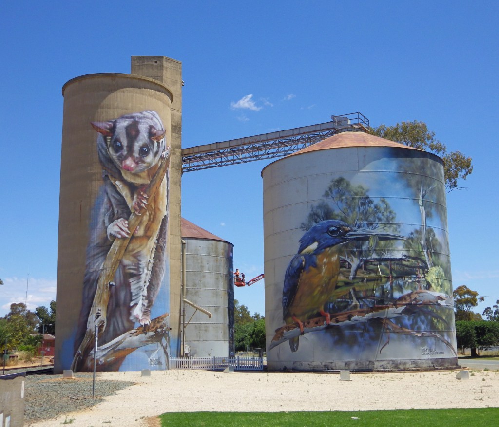
- Highlights: Painted silos and Country Pub at Colbinabbin, Canola in bloom if spring, 2 very pretty climbs over Mt.Camel Range, a Winery with a Brewery that serves Pizza. Lots of scenic farms and landscape.
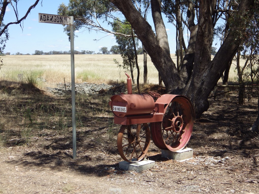
- For the gravel aficionados: Weeks gravel pit is NE from corner of Clarkson and Myola East Roads on this route. It is the source of the grey/white gravel found on the surrounding roads.
- Link to gpx file: Download gpx file from this link – Camel Cornella
- More detail: See Camel Cornella page
- Connects with: Golden Black Track, Kirwans Rushy Whroote, Reap the Red Ridge, Nabbin My Booty, Lap of Local Lakes and Carag Carag Wetlands Wetlands.
- Pics:


.
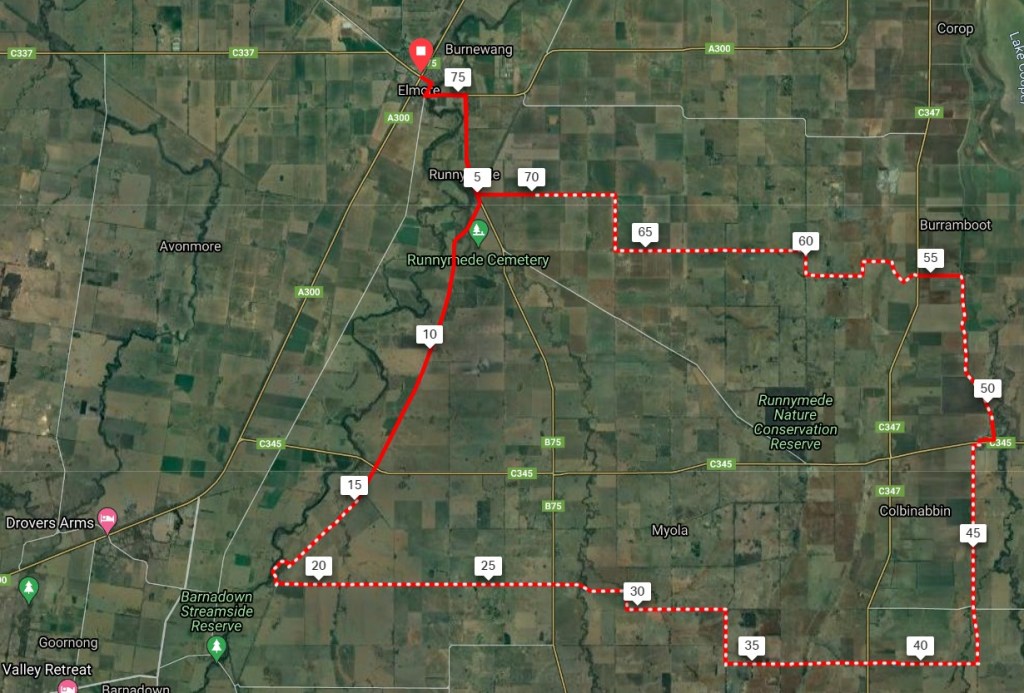
9. Nabbin My Booty
- Distance: 77 km loop.
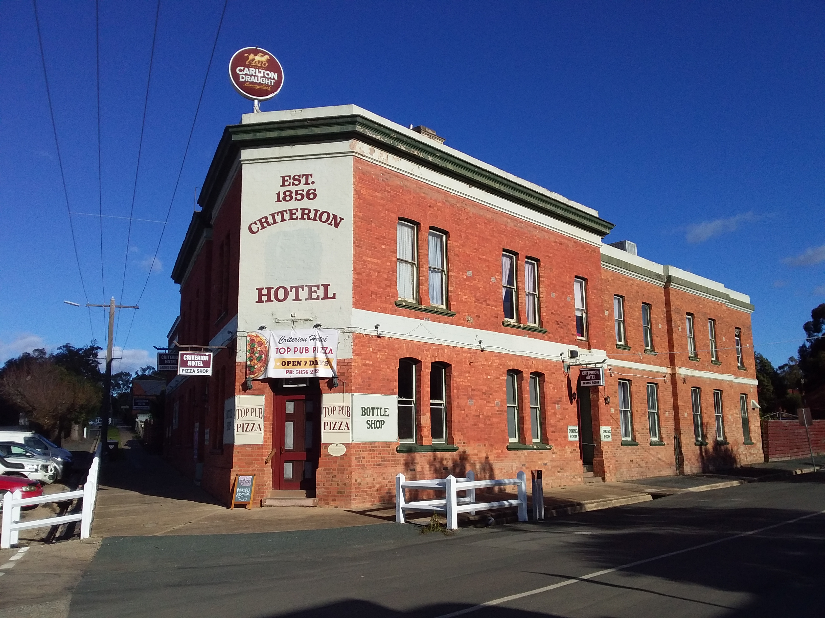
- Description: Discover the wide skies and open farmland between the Campaspe River and Mt.Camel Range. Includes 2 climbs over the range (at Burumboot and Myola) and as a bonus painted silos and country pubs.
- Amenities: Colbinabbin, Elmore (busy road), Goornong (slightly off route).
- Accommodation: Colbinabbin and Elmore. English Bridge & Runnymede Reserves (camps).
- Ride surfaces: 70% gravel or earth, 20% quiet sealed roads, and 10% busy sealed roads. [However the 10% (8km) of busy sealed highway from Runnymede to Elmore and back to the loop can be completely avoided if you don’t need to go to Elmore for supplies or connections].
- Terrain: Flat to slightly rolling for most of the ride, but with 2 climbs over Mt Camel Range (see profile in pics below). Total vertical metres = 411m.
- Suggested Ride: Start at Colbinabbin, ride anti-clockwise, don’t do the side link to Elmore at Runnymede. Instead go off-route to Goornong pub for lunch, with possible swim at English Bridge and back over the range to Colbinabbin.
- Highlights: Painted silos and Country Pub at Colbinabbin, Canola in bloom if spring, 2 climbs over Mt.Camel Range. English Bridge campsite and swimming hole.
- For the gravel aficionados: Lake Cooper Quarry is south of Trewins Road at the crest of the northern climb (Mount Burrumboot) on this route. This is the source of a hard blue-grey rock which is occasionally used for gravel road surfaces, but more usually for road base and aggregate. Which is good becasue vehicles fling it around too much for my liking . A kilometre further to the west, Browns gravel pit provides a softer pinky brown gravel for local roads.
- Link to gpx file: Download gpx file from this link – Nabbin My Booty
- More detail: See Nabbin My Booty page
- Connects with: Leen Down the Dale, Grains Mainly on the Plains, Lap of Local Lakes and Camel Cornella.
- Pics:


.
10. Lap of Local Lakes
- Distance: 89 km loop
- Description: A long loop around the low lying farms, lakes and wetlands in the middle of the GABCY area. For less fit riders, it will probably work better as an overnight lake campout in warm weather.
- Amenities: Rushworth, Corop, Colbinabbin.
- Accommodation: Rushworth, Colbinabbin, Greens Lake (camp).
- Ride surfaces: 60% gravel or earth, 30% quiet sealed roads, 10% busy sealed roads. [However, 6km of busy sealed road is going into Corop and returning to the loop. This could be avoided if you didn’t need to go to the shop there].
- Terrain: Flat with a slight rise into Rushworth although most riders would not notice. Total vertical metres = 290m.
- Suggested Ride: Start at Rushworth, lunch at Colbinabbin with overnight campout at Greens Lake. Lake activities next morning before riding back to Rushworth. Be aware this is a low lying area and some earth/clay roads may be adversely effected by recent rain. Also check information on Greens Lake before travelling, there are reports that its water supply is being cut-off and water level may fall.
- Highlights: Scenic towns of Rushworth and Colbinabbin, with pub and painted silos. Greens Lake with camping facilities. Potential for the wetlands along the route to provide interesting side trips.
- Link to gpx file: Download gpx file from this link – Lap of Local Lakes
- More detail: See Lap of Local Lakes page
- Connects with: Camel Cornella, Nabbin My Booty, Grains Mainly on the Plains, Lap of Local Lakes, Carag Carag Wetlands Wetlands, Golden Black Track and Kirwans Rushy Whroote.
- Pics:


.
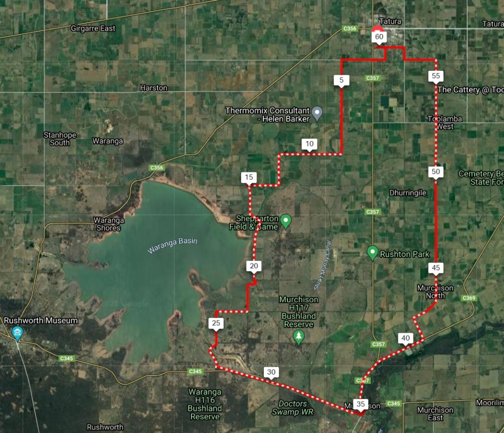
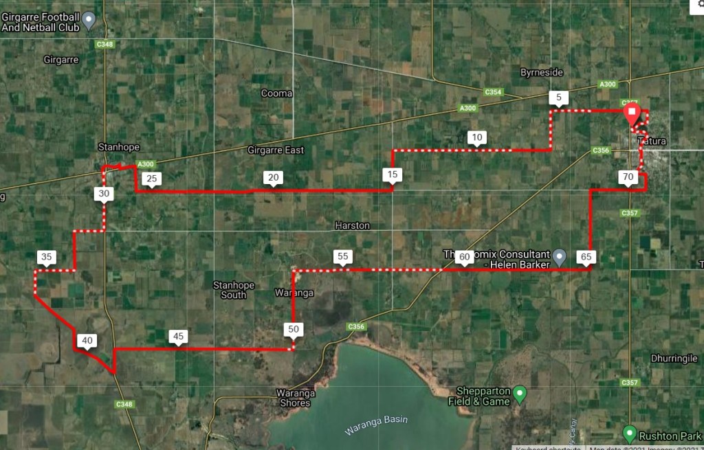
11. Waranga Whirl
- Distance: 60 km loop
- Description: A very pleasant day ride through flat scenic farmland and along side Waranga Basin. Features quiet roads, bike paths and good food options.
- Amenities: Tatura, Murchison.
- Accommodation: Tatura, Murchision.
- Ride surfaces: 70% gravel or stabilised path, 30% quiet sealed roads.
- Terrain: Flat with occasional undulation. Total vertical meters = 195m.
- Suggested Ride: Start at Tatura and ride anti-clockwise. At Murchison ride a little further to Longleat Winery for lunch followed by a leisurely afternoon ride back to Tatura for some pub or bakery action.
- Highlights: Waranga basin, Good bakeries, Longleat Winery, Country roads, Murchison to Waranga Rail Trail.
- Link to gpx file: Download gpx file from this link – Waranga Whirl
- More detail: See Waranga Whirl page
- Connects with: Yellowbelly Track, Kirwans Rushy Whroote, Golden Black Track, Harston Easton Weston, Ky-Tat Merrigoround, Tatura Terra Rustica.
- Pics:


.
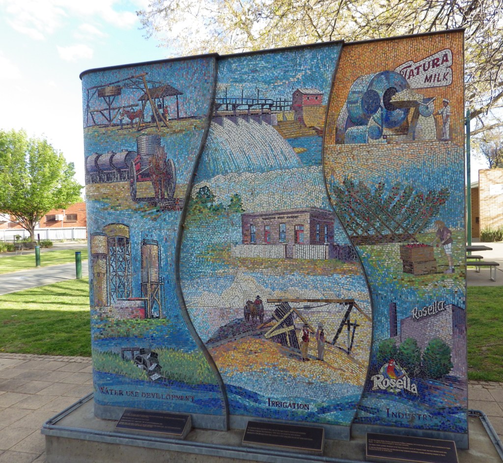
12. Tatura Terra Rustica
- Distance: 46 km loop
- Description: A short scenic ride along the Goulburn River from Tatura, passing through Shepparton Regional Park. Requires a sense of adventure to tackle a gully on the route (see details below).
- Amenities: Tatura. Toolamba has toilets and free water refilling station (shop and pub are usually closed at present, but may reopen at some point).
- Accommodation: Tatura. Shepparton Regional Park (free camping)
- Ride surfaces: 65% gravel, earth or path, 35% quiet sealed roads.
- Terrain: Flat. Total vertical metres = 135m.
- Suggested Ride: If no food is available at Toolamba, take a picnic lunch. Start at Tatura and ride anti-clockwise, with amenity break at Toolamba. Picnic by the river. The most scenic location is at the northern or Pyke Road end of the river (after the gully).
- Highlights: River views and river tracks through Shepparton Regional Park. Bike path through Tatura – a town blessed by 3 good bakeries. Adventure trek though the gully (see below).
- Link to gpx file: Download gpx file from this link – Tatura Terra Rustica
- More detail: See Tatura Terra Rustica page
- Connects with: Yellowbelly Track, Waranga Whirl, Harston Easton Weston, Ky-Tat Merrigoround.
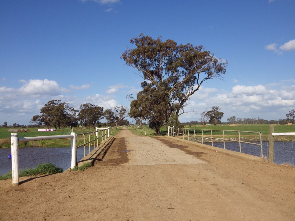
- Technical: There is a gully on this route towards the north end of the river tracks near Pyke Road. Without your bike you will be able to walk through the gully without grabbing anything, so it isn’t difficult. If you are with another person, 2 people will be able to get 1 bike at a time through the gully easily. However, if you are on your own the south face of the gully is too steep to walk up or down with your bike. It isn’t a strength issue, it is basic physics and friction – two feet on ground are OK, but when you lift one foot to walk the other foot can’t get enough traction with the weight of your bike as well and will start sliding. My solution is to take about 25m of 3mm chord and wrap one end around a concrete fence post at the top of the south face of the gully. The other end of the chord I wrap around my seat post and use that to hold the extra weight of my bike as I walk up (or down) the south face. Easy peasy – science not brawn.
- Pics:


.
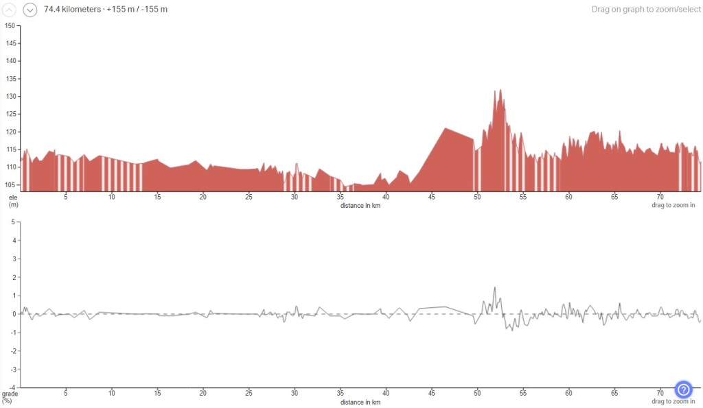
13. Harston Easton Weston
- Distance: 74 km loop
- Description: Another scenic surprise for me with epic open vistas and very few people. The clay track section of Carag Road south of Stanhope can become muddy if it is wet.
- Amenities: Tatura and Stanhope
- Accommodation: Tatura. Good farmstay (Ellesmere Park) at Stanhope end.
- Ride surfaces: 70% gravel or clay, 27% quiet sealed roads, 3% busy sealed roads.
- Terrain: Flat with a rolling 20 km section in the middle of the south leg. I suspect the profile pic underplays it a bit with claim Total Vertical Metres = 155m. I’m surprised a few of those climbs are not 3%. The straight lines in the profile suggests imperfect data and some averaging has occurred.
- Suggested Ride: Start at Stanhope and ride anti-clockwise, as Tatura has much better lunch options.
- Highlights: Epic open panoramic vistas on the south leg. Quality grazing at Tatura.
- Link to gpx file: Download gpx file from this link – Harston Easton Weston
- More detail: See Harston Easton Weston page
- Connects with: Tatura Terra Rustica, Waranga Whirl, Carag Carag Wetlands Wetlands, Scobie Scamper and Jig, Ky-Tat Merrigoround.
- Pics:


.
14. Carag Carag Wetland Wetland
- Distance: 76 km loop
- Description: More big skies and open vistas. Although you are not far from towns, you will not see many people on this ride. The route passes near several remnant wetlands and there is potential for side exploration of tracks through those areas.
- Amenities: Stanhope, Rushworth.
- Accommodation: Rushworth. Good farmstay (Ellesmere Park) at Stanhope end.
- Ride surfaces: 80% gravel or clay, 20% quiet sealed roads. This is a low lying area and the clay roads will become boggy when it is wet. So this is probably a dry weather only ride.
- Terrain: Flat with a slight climb to Rushworth.
- Suggested Ride: As a day ride I suggest starting at Stanhope and riding anti-clockwise. Rushworth is a much better lunch option. As part of a longer route it probably depends on where you want to stay overnight.
- Highlights: Rushworth historic town with good food options. Good farmstay just off the route. Big skies and open vistas. The biggest highlight here could be the remnant wetlands. There are tracks leading in to them; I hope to do more exploring over summer when it is dry to see if there are good through routes.
- Link to gpx file: Download gpx file from this link – Carag Carag Wetlands Wetlands
- More detail: See Carag Carag Wetlands Wetlands page
- Connects with: Golden Black Track, Kirwans Rushy Whroote, Camel Cornella, Nabbin My Booty, Grains Mainly on the Plains, Scobie Scamper and Jig, Harston Easton Weston.
- Pics:


.
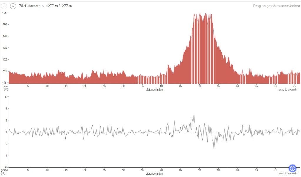
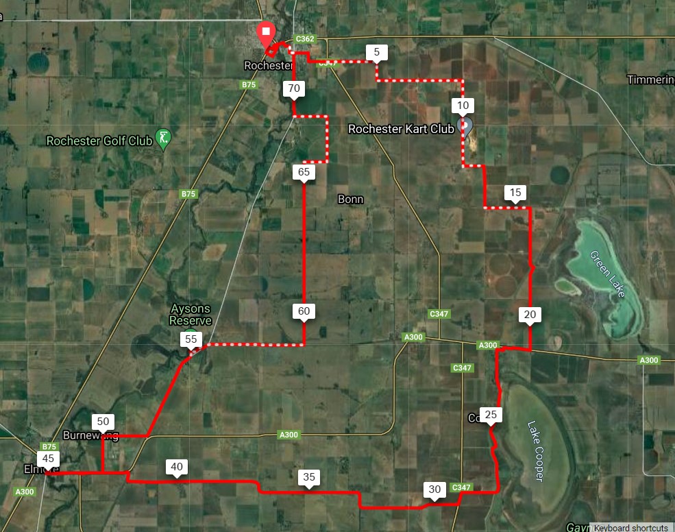
15. Grains Mainly on The Plains
- Distance: 74 km loop
- Description: This ride covers a range of terrain in the transition zone from the finish of Mt. Camel range and its red soil vineyards, and bog prone black soil on its eastern side, and moves north to more open flat river plains with sandier soils.
- Amenities: Rochester. Also Corop and Elmore (both on busy roads).
- Accommodation: Rochester, Elmore, Aysons Reserve (camp in reserve on Campaspe with toilets).
- Ride surfaces: This has about 50:50 unsealed road and sealed road. There are about 10km of busy highway sealed road, most of which is connecting with Elmore. The remaining busy road is 1 km into Corop (with shoulder) and 0.5 km at base of Burrumboot climb. Rochester has a bike path beside its highway and bridge so access there is OK. Consider bypassing Elmore if you can.
- Terrain: Flat to rolling, but with a climb over Mt Burrumboot south of Corop. The east climb is steeper than the west side. Total vertical metres = 309m.
- Suggested Ride: I’m open minded about this one. Rochester has the best food, Corop is OK, Aysons is nice spot for a camp or picnic. Riding clockwise will have the steeper climb – some will prefer that, others not. Consider using Hayes Rd to connect Aysons/Three Chain Rd to Trewin Rd, to avoid Elmore (and ride will be about 10 km shorter).
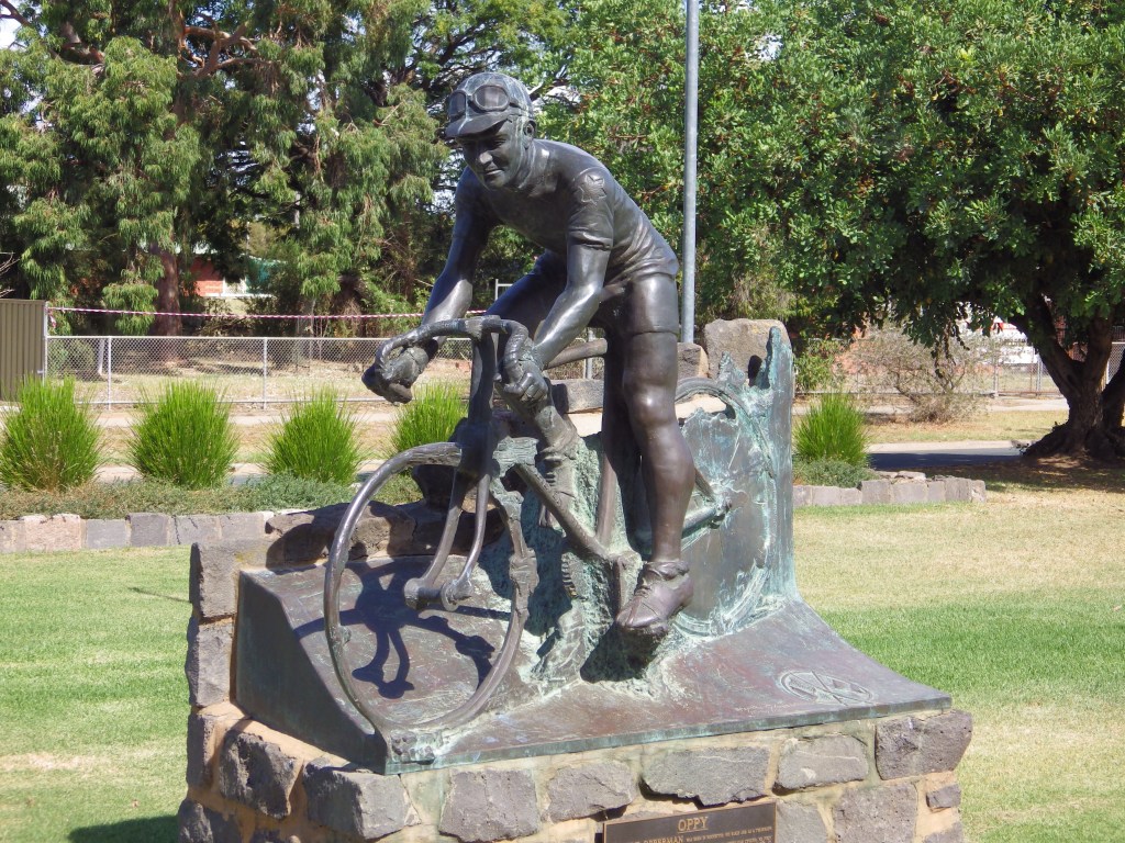
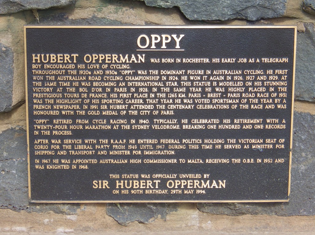
- Highlights: Rochester – silos , oppy and township. Aysons Reserve campsite. Mt Burrumboot climb. Wide open plains and changing terrain pattern.
- For the gravel aficionados: Quarry Road passes by Nanneella Quarry, source of the champagne coloured gravel on your routes in the south western part of GABCY Network.
- Link to gpx file: Download gpx file from this link – Grains Mainly on Plains
- More detail: See Grains Mainly on The Plains page
- Connects with: Nabbin My Booty, Lap of Local Lakes, The Tour of Five Halls.
- Pics:


.
16. Ky-Tat Merrigoround
- Distance: 66 km loop
- Description: An easy ride through flat open farming country. A good option for beginners as it has well placed amenities and the distance can easily be shortened by cutting across the narrow loop.
- Amenities: Kyabram, Merrigum, Tatura.
- Accommodation: Kyabram, Tatura.
- Ride surfaces: About 60% gravel or path, and 40% quiet sealed roads. Although the sealed roads get a bit busier coming into towns.
- Terrain: Varies between flat and pancake. Most of the uphill is going over bridges 😂.
- Suggested Ride: There is a town at either end – both with good food and accommodation options, so it doesn’t make much difference where you start. The southern leg is longer, so suggest you do that first. The northern leg has an additional amenities stop at Merrigum.
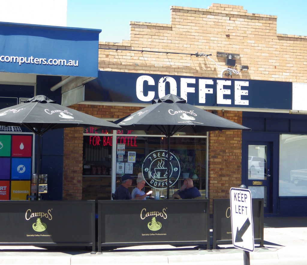
- Highlights: Quiet easy riding with good amenties. Fauna Park at Kyabram is worth a visit. The northen leg of this route zig-zags on backroads along side the unused railway line – which is a much faster and cheaper option for a community compared to lobbying for rail trail support, approval and funding.
- Link to gpx file: Download gpx file from this link – Ky-Tat Merrigoround
- More detail: See Ky-Tat Merrigoround page
- Connects with: Tatura Terra Rustica, Waranga Whirl, Harston Easton Weston, Scobie Scamper & Jig, Everyone Loves Donkeys, Wyuna Pastoral Run, Coomboona Carousel.
- Pics:


.
17. Coomboona Carousel
- Distance: 80 km loop
- Description: A connecting loop from the middle of the GABCY Network to the Yellowbelly Track and township of Mooroopna on the west side. The ride is flat and easy although long if you do the full loop.
- Amenities: Kyabram and Undera. Mooroopna is also closeby.
- Accommodation: Kyabram and Undera. Lower Goulburn National Park (free camping)
- Ride surfaces: About 65% gravel or track, 35% sealed roads. There is 1 km of busy highway north of Mooroopna but it has 1 m wide sealed shoulders on both sides.
- Terrain: Flat, except for regular bridges and levee banks.
- Suggested Ride: I think the legs of this route will be more used as east west connections, rather than as its own loop. However, for a loop ride, I suggest to start at Kyabram and ride anti-clockwise. Undera Hotel does a good lunch.
- Highlights: River tracks. Wildlife in National Park. Painted tank at Kyabram.
- Link to gpx file: Download gpx file from this link – Coomboona Carousel
- More detail: See Coomboona Carousel page
- Connects with: Yellowbelly Track, Ky-Tat Merrigoround, Scobie Scamper & Jig, Everyone Loves Donkeys, Wyuna Pastoral Run, Undera Riviera.
- Pics:


.
18. Scobie Scamper and Jig
- Distance: 51 km loop
- Description: Quiet easy riding with good amenties at Kyabram. A shorter route option for those riders less comfortable with other longer GABCY routes.
- Amenities: Kyabram, Girgarre (limited), Stanhope.
- Accommodation: Kyabram. Girgarre (has camping, but often restricts tents). Plus a good farmstay (Ellesmere Park) close to Stanhope.
- Ride surfaces: 55% gravel and clay roads, 45% quiet sealed roads.
- Terrain: Flat except for a small rise of about 20m when the route passes the edge of Mt Scobie (a small hill with very good marketing).
- Suggested Ride: Start at Kyabram and ride anti-clockwise.
- Highlights: Quiet easy riding with good amenties at Kyabram. Fauna Park at Kyabram is worth a visit. Painted water tank at Kyabram. Ride passes Girgarro botanical gardens being developed. Girgarre Hall precinct has good free facilities for travellers.
- Markets: Girgarre market day is 2nd Sunday of the month.
- For the gravel aficionados: This route passes Mt Scobie Quarry, located NE of corner of Wigg and Webb Roads. This quarry is the source of the bright white gravel you will see on your routes in the middle and northern parts of the GABCY Network. Scobie mudstone breaks down into fine white dust so it is usually a good idea to stop for a drink break on the odd occasion a vehicle approaches instead of trying to ride on through the trailing dust cloud.
- Link to gpx file: Download gpx file from this link – Scobie Scamper and Jig
- More detail: See Scobie Scamper and Jig
- Connects with: Harston Easton Weston, Carag Carag Wetlands Wetlands, Everyone Loves Donkeys, Wyuna Pastoral Run, Coomboona Carousel, Ky-Tat Merrigoround.
- Pics:


.
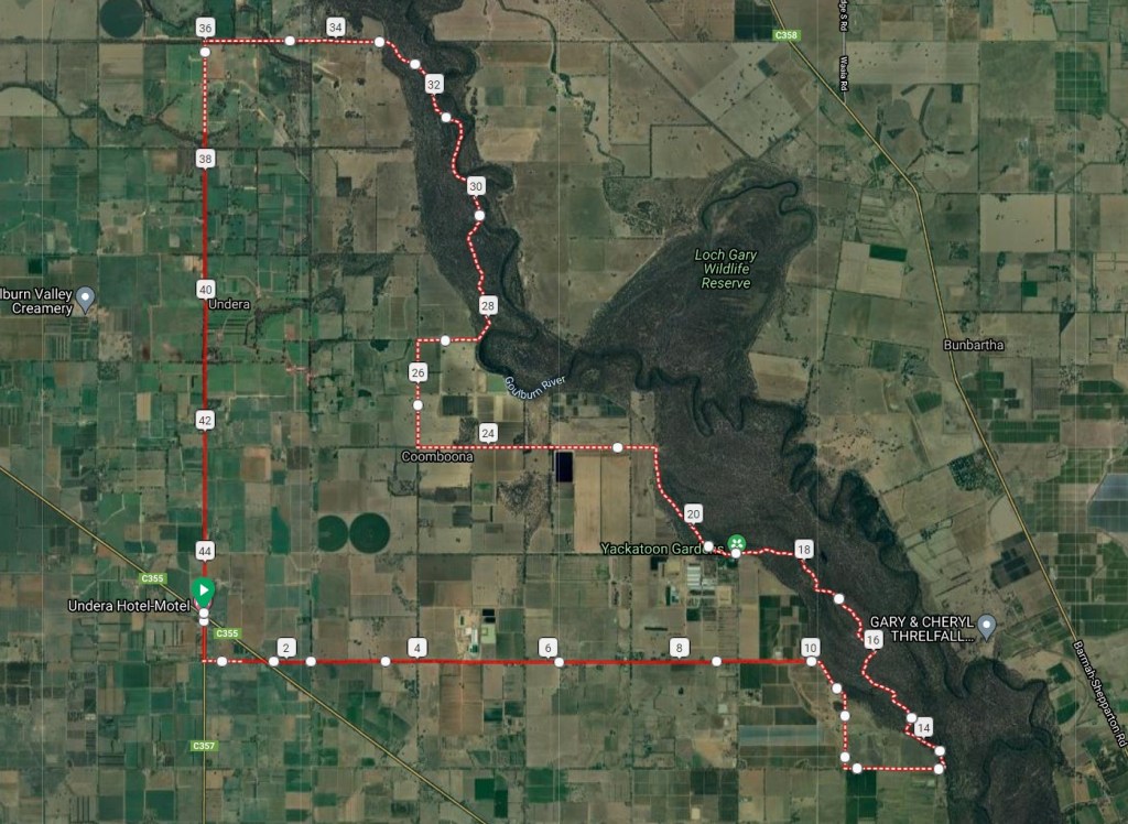
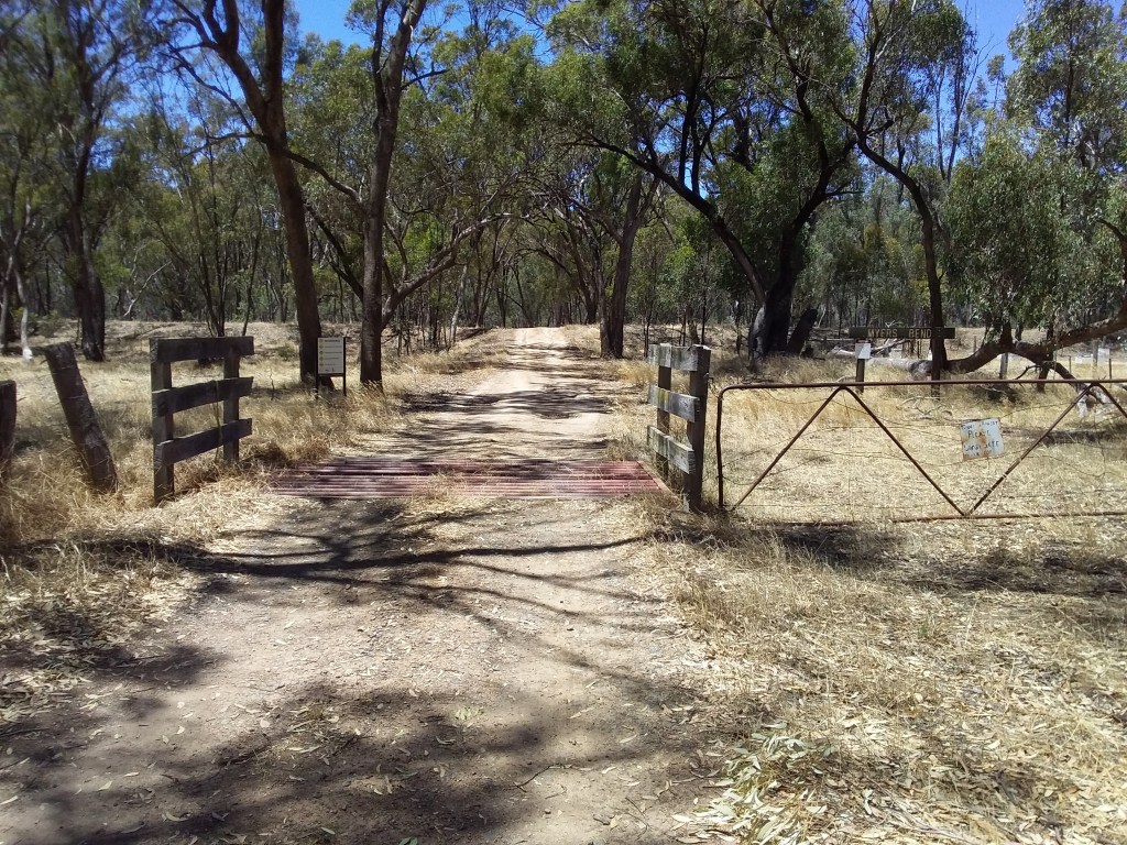
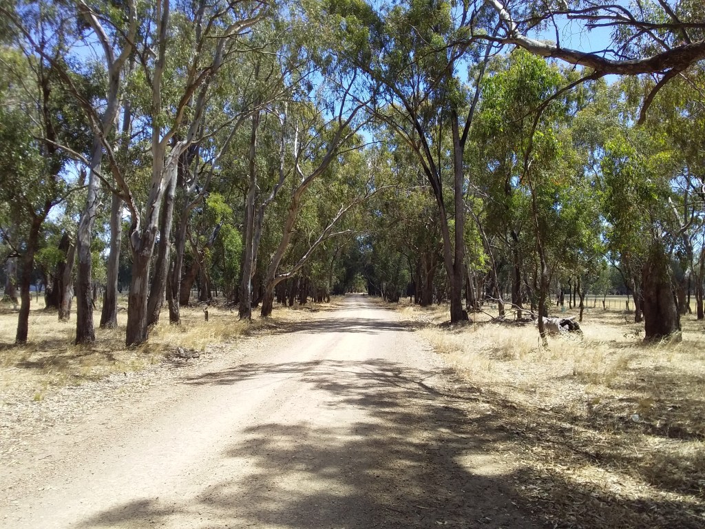
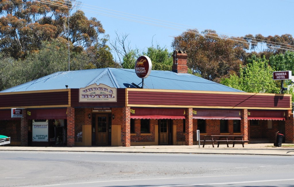
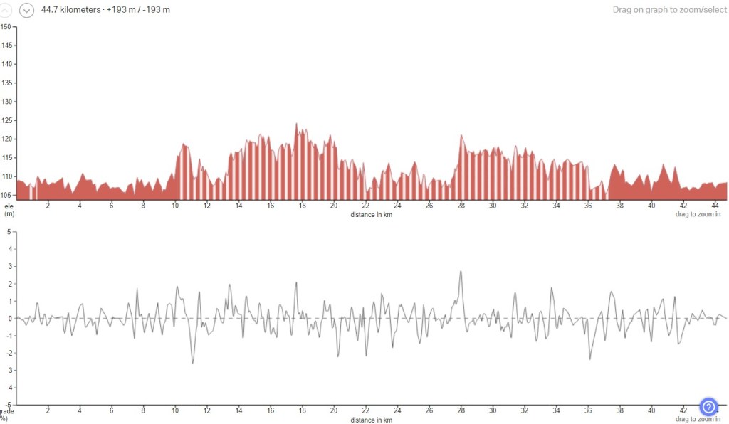
19. Undera Riviera
- Distance: 45 km loop
- Description: A good option to do some of the Yellowbelly Track as a short, part-day ride. I need to do a bit more work on this one over summer, I think there are other through tracks and ways to avoid some of sealed road.
- Amenities: Undera
- Accommodation: Undera. Lower Goulburn National Park (free camping).
- Ride surfaces: Currently 65% gravel and clay, 35% sealed. Although I think the sealed distance can be reduced further.
- Terrain: Generally flat, but with a few dips and levee banks. Total Verticle Metres = 193m.
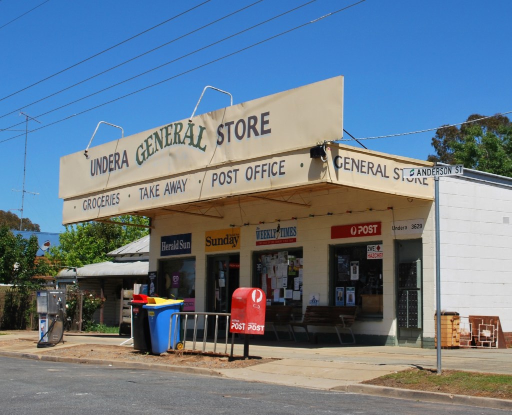
- Suggested Ride: Start at Undera and ride anti-clockwise. Lunch at Undera Hotel on return.
- Highlights: River views and river tracks. Wildlife in National Park.
- Link to gpx file: Download gpx file from this link – Undera Riviera
- More detail: See Undera Riviera page
- Connects with: Yellowbelly Track, Coomboona Carousel.
- Pics:


.
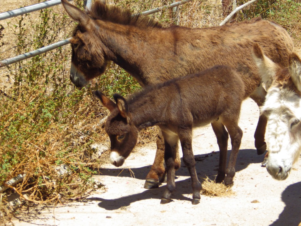
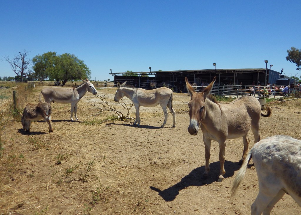
20. Everyone Loves Donkeys
- Distance: 49 km loop
- Description: An easy ride with good amenities, plus donkeys. Every day is better if it has donkeys.
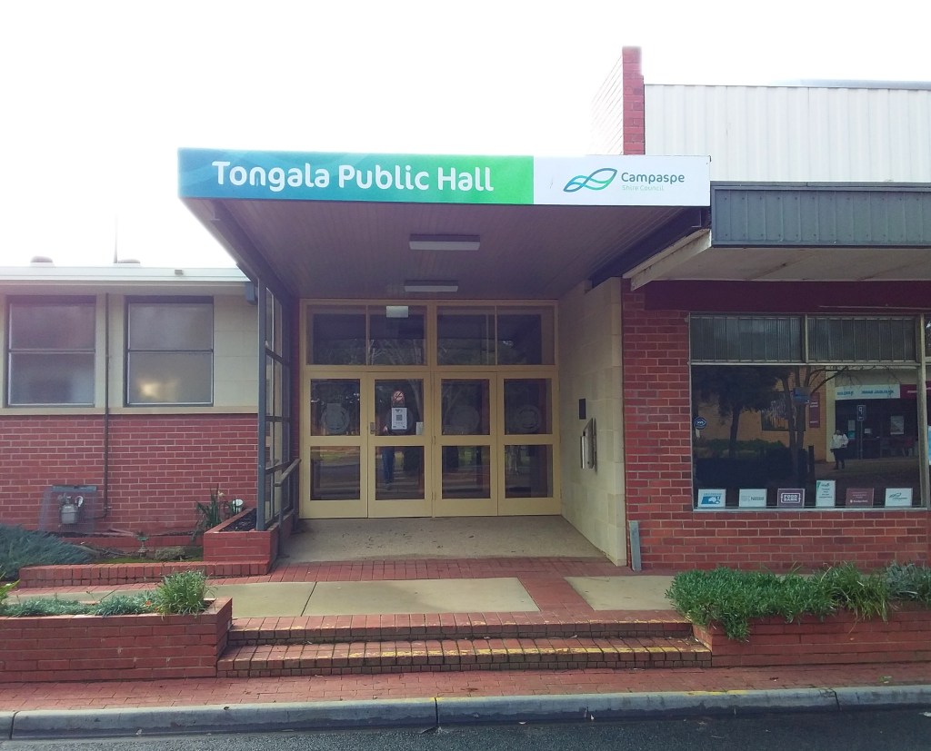
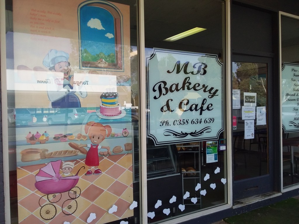
- Amenities: Tongala, Kyabram.
- Accommodation: Kyabram, Tongala. The Donkey Shelter has plans to do farmstays in the future.
- Ride surfaces: 60% gravel, 40% quiet sealed roads, although the sealed roads get busier coming into towns.
- Terrain: Flat.
- Suggested Ride: Start at Kyabram and ride clockwise. Visit the donkeys, then lunch at Tongala pub, before return to Kyabram.
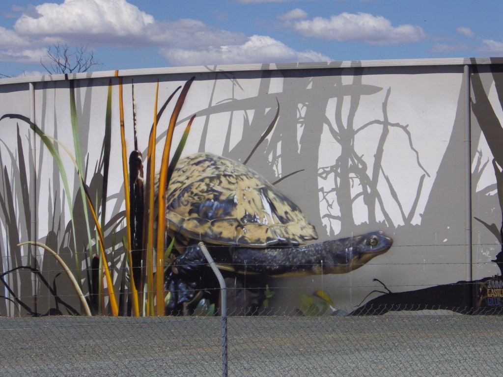
- Highlights: Tongala Donkey Shelter – visitors welcome but need to be arranged in advance. Between 100-200 donkeys on site – all named with individual characters. A lot are social and like to interact with humans and get patted and scratched. Painted tank at Kyabram, and various murals in Tongala.
- Link to gpx file: Download gpx file from this link – Everyone Loves Donkeys
- More detail: See Everyone Loves Donkeys page
- Connects with: Coomboona Carousel, Ky-Tat Merrigoround, Scobie Scamper and Jig, The Tour of Five Halls.
- Pics:


.
21. The Tour of Five Halls
- Distance: 79 km loop.
- Description: An interesting ride through history. Five communities along the route built civic halls as an expression of aspiration for their localities. All five buildings are now much reduced in status and usage.
- Amenities: Rochester, Tongala, Nanneella.
- Accommodation: Rochester, Tongala. Perhaps farmstays.
- Ride surfaces: 50 : 50 gravel and sealed roads.
- Terrain: Flat.
- Suggested Ride: Start at Rochester, and ride clockwise. The northern leg is longer so that way you get more kms done before lunch at Tongala. While returning to Rochester you can stop at the Donkey Shelter and the general store at Nanneella.
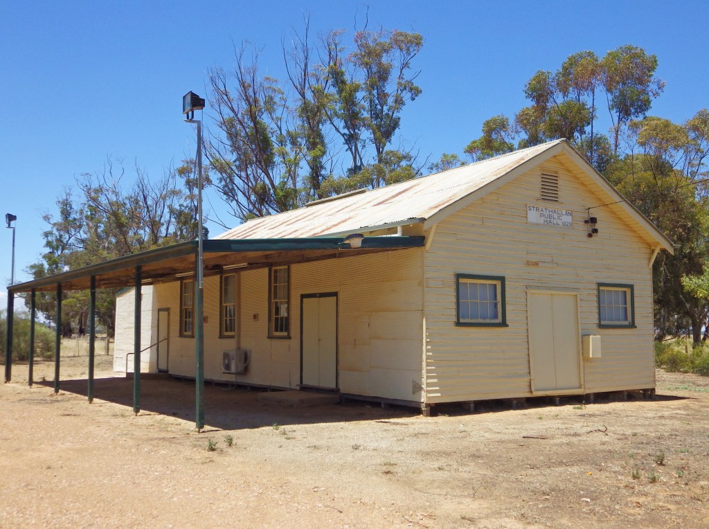
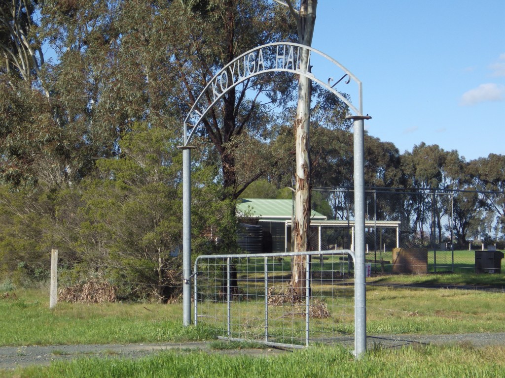
- Highlights: Five community halls (Rochester, Strathallan, Koyuga, Tongala, Nanneella). Tongala Donkey Shelter – visitors welcome but need to be arranged in advance. Painted silos in Rochester and various murals in Tongala.
- Link to gpx file: Download gpx file from this link – The Tour of Five Halls
- More detail: See The Tour of Five Halls page
- Connects with: Everyone Loves Donkeys, Grains Mainly on the Plains, All The Gravels Run.
- Pics:


.
22. Wyuna Pastoral Run
- Distance: 64 km loop
- Description: A shorter day ride from Kyabram which includes some of the most scenic river tracks of the Yellowbelly Track.
- Amenities: Kyabram, Tongala, Ky West Hotel.
- Accommodation: Kyabram, Tongala. Lower Goulburn National Park (free camping).
- Ride surfaces: 70% gravel or river tracks, 30% quiet sealed roads.
- Terrain: Flat.
- Suggested Ride: Start at Kyabram and ride anti-clockwise. Ride back through Tongala as an amenities stop at the 50 km mark. With optional additional stop at Ky West Hotel.
- Highlights: River tracks.
- Link to gpx file: Download gpx file from this link – Wyuna Pastoral Run
- More Detail: See Wyuna Pastoral Run page
- Connects with: Yellowbelly Track, Coomboona Carousel, Everyone Loves Donkeys, Ky-Tat Merrigoround, Scobie Scamper and Jig.
- Pics:


.
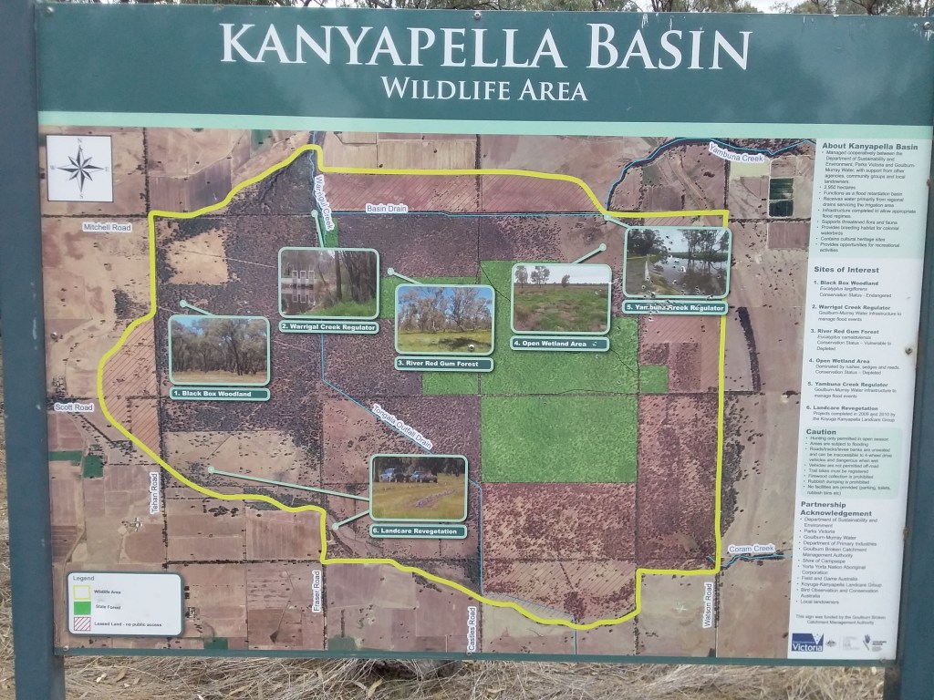
23. All The Gravels Run
- Distance: 58 km loop
- Description: Another route that is more likely to provide connecting legs than a loop ridden for itself. That said I think there is potential for an interesting section in Kanyapella Reserve. I intend to do a bit of exploring in there over summer while it is dry to look for possible improvements.
- Amenities: Echuca. Falcon Hotel (slightly off route).
- Accommodation: Echuca. Possibly camping in Kanyapella (make your own inquiries).
- Ride surfaces: 60% Gravel, 40% Sealed. (Note: the map in the pics is misleading, much of the west leg is gravel and much of the south leg is sealed).
- Terrain: Flat.
- Suggested Ride: No real difference here, it will depend where you want to end up.
- Highlights: Echuca Port precinct.
- Link to gpx file: Download gpx file from this link – All the Gravels Run
- Connects with: Yellowbelly Track, The Tour of Five Halls
- Pics:


.
Conclusion, Comments and Questions
That’s all.
I had some farm gate food providers planned for along the route. However, these became more cautious after all the Covid lockdowns. I am hopeful farm gate sales, farm stays and markets will become more of a feature in the GABCY Network going forward. Particularly if local providers see that riders are using the routes regularly. I will try and update these pages with details if/when farmers decide to welcome visitors again.
Disclaimers and comments:
- I do not have any commercial interest in any of the businesses or activities mentioned in the above article.
- Cycling is a risky activity. It is important you make your own enquiries and assessments of the risks for you and your family, and carry enough equipment for your personal safety. Do not rely on any of the information I provide.
If you have any questions or comments, post below.
Or contact me by email (nixtrader AT yahoo DOT com DOT au)
.
