- Distance: 77 km loop.
- Description: I think this route will function more as separate access legs, rather than as a loop. The western leg follows Campaspe River and includes access to streamside reserves. The northern leg offers the most unsealed road and least traffic. The southern leg between Axedale and Toolleen is sealed and has more traffic than I would like.
- Amenities: Pubs at Axedale, Toolleen and Goornong. The new Goornong Train Station in 2022 may prompt more food outlets to open there.
- Accommodation: Minimal accommodation in towns. Farmstays or AirBnB (maybe). Barnadown and English Bridge reserves (camping).
- Ride surfaces: 50% gravel and unsealed, 50% sealed road.
- Terrain: Flat with some rolling sections. Total vertical metres = 367m.
- Suggested Ride: No preference for this one. It depends on what the rider’s overall plans are.
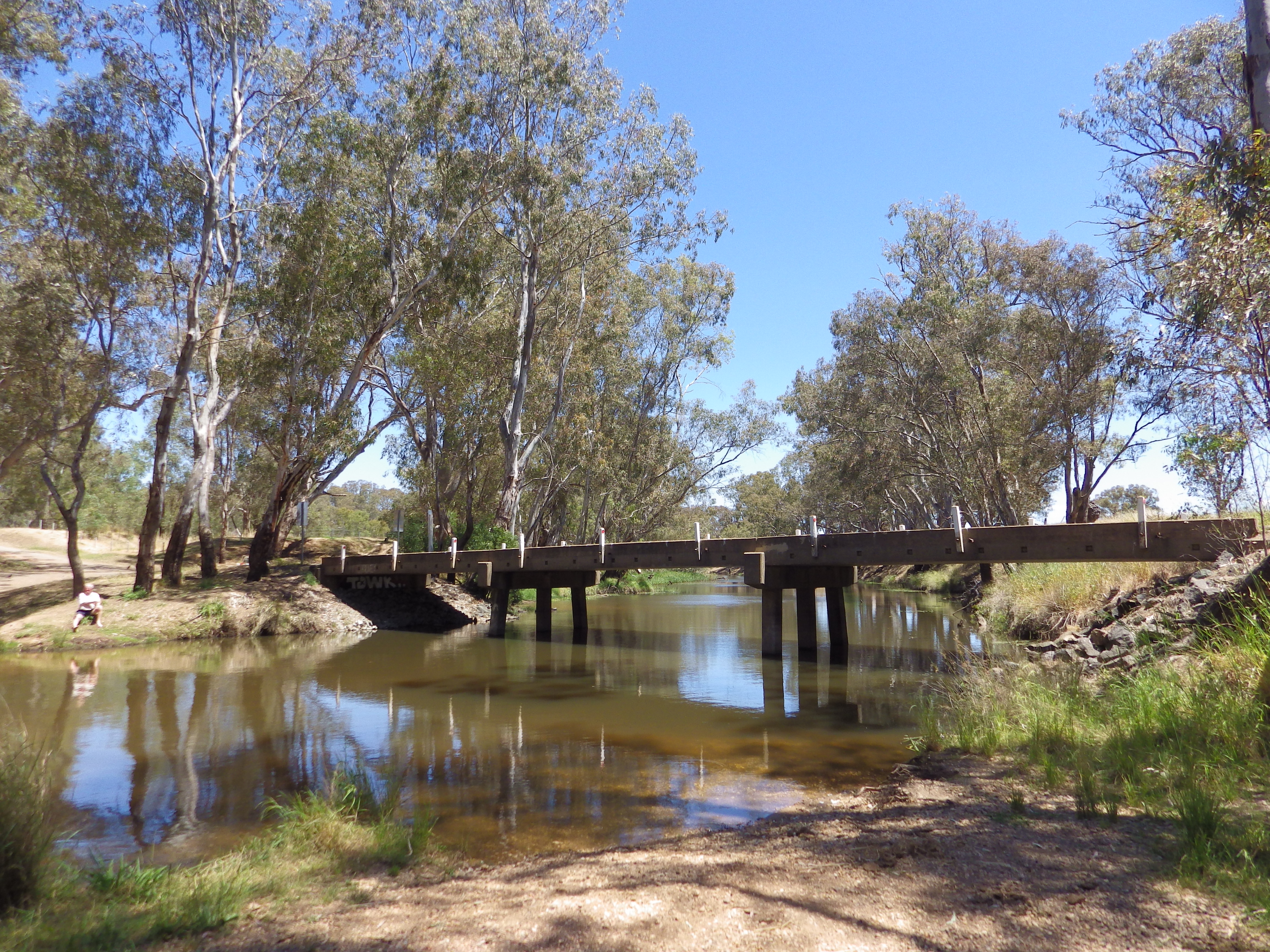
- Highlights: Axedale Tavern. Campaspe streamside reserves – Barnadown and English Bridge. English Bridge campsite and swimming hole.
- Link to gpx file: Download gpx file from this link – Leen Down the Dale
- Connects with: O’Keefe Rail Trail, Reap the Red Ridge, Nabbin My Booty. See – GABCY Network
- Pics:


.