
In December 2022 Wayne and Matt rode a 190km, 2-day / overnight loop starting and finishing at Heathcote. Their loop used sections from several South East GABCY routes – Reap the Red Ridge, Camel Cornella, Kirwans Rushy Whroote, Nagambie Meander and Ghostown Gambol. This is their report (words – Wayne, images -Wayne & Matt).
Day 1: Heathcote to Whroo via Toolleen/Colbinabbin/Rushworth
We zigzagged our way out of Heathcote on a perfect summer’s day. Warm but not hot, and barely a breeze. We made good time on the firm, gravel roads to Toolleen, with the occasional section of fast bitumen having us arrive at the Toolleen pub early, well before opening time.
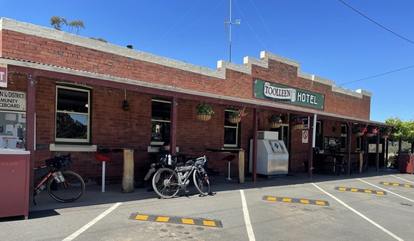
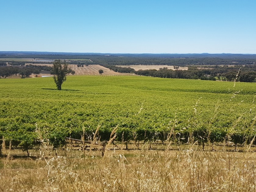
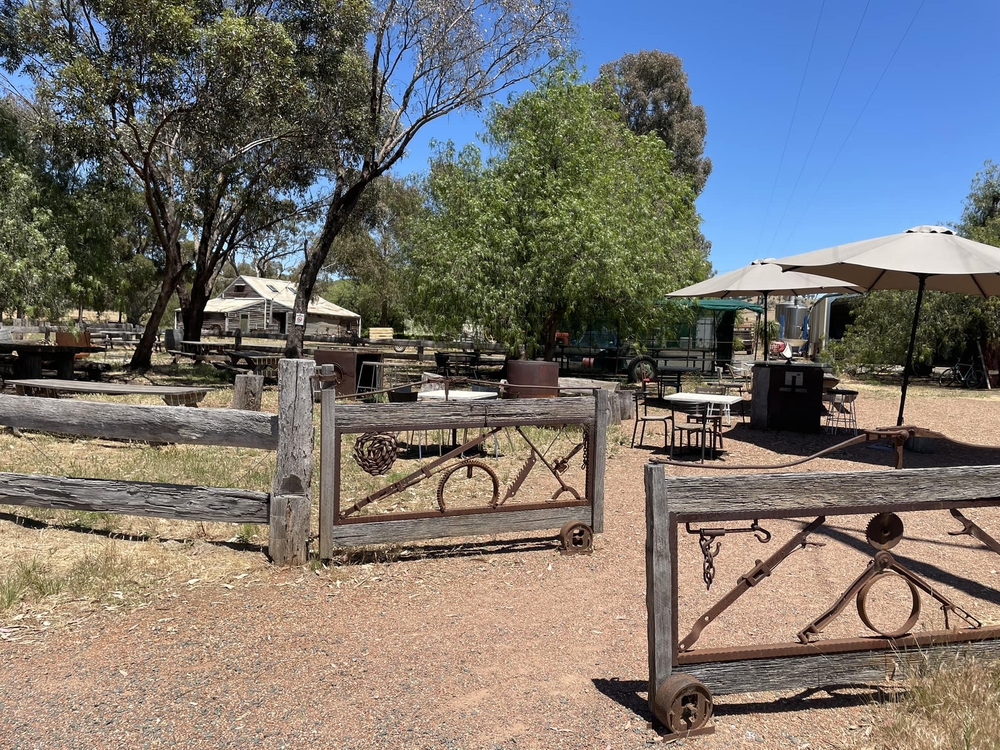
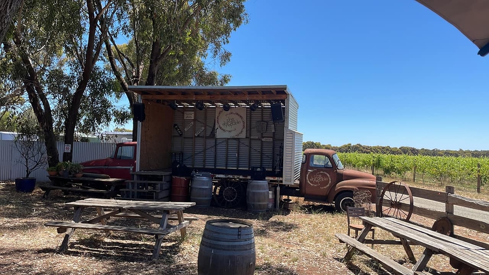
My disappointment in missing on an early beer turned out to be a blessing in disguise. Instead we crossed the Mt Camel range with a short, relatively easy climb to detour to the Shiraz Republic Winery/Brewery in Cornella. 40km done. We were rewarded with spectacular views, admiring the wedge-tailed eagle hovering above us as we paused at the top for some photos and a drink.
Can’t say enough about Shiraz Republic. We shared a superb beer and pizza lunch in idyllic surrounds. Heaps of shade, music, and even sunscreen! Need to come back on a day ride and stay longer. Some pics below.
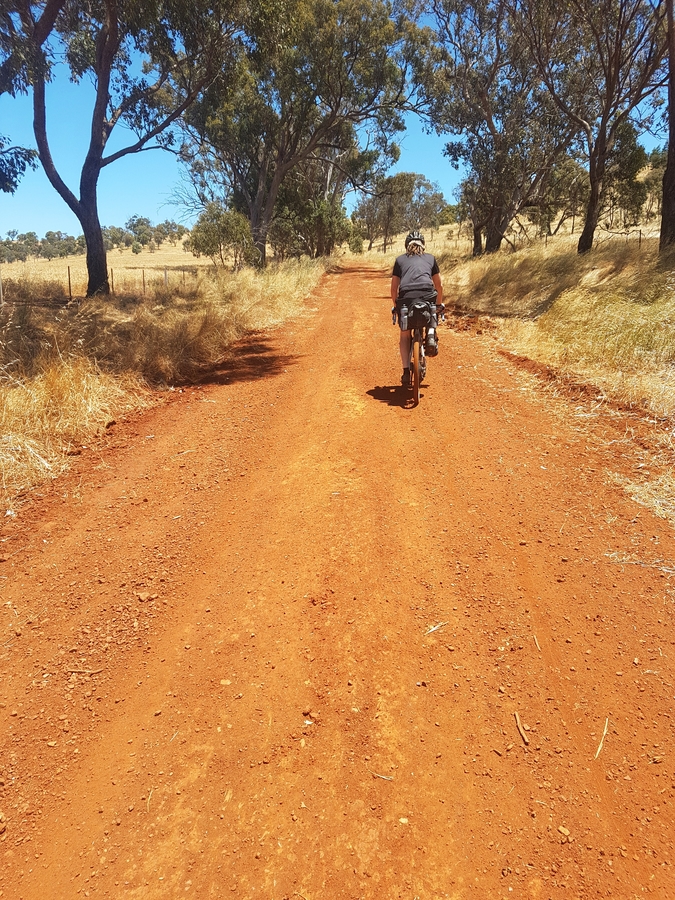
Penance for lunch was dished out with a nasty (longer, steeper) climb over a more northerly part of the range, full bellies groaning in protest, though the red dirt roads were again spectacular. They’d be incredible when the canola is in bloom, though I’m told these red clay roads can be unrideable when wet.

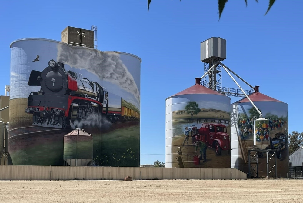
With the climbing behind us, we tracked northwards through open farmlands, helped along by a gentle tailwind, for some silo art gazing at Colbinabbin.
This was followed by 20km of a scenic, flat, stroll, often alongside farm irrigation channels. The local farmers were busy harvesting, but never too busy to give us a wave.
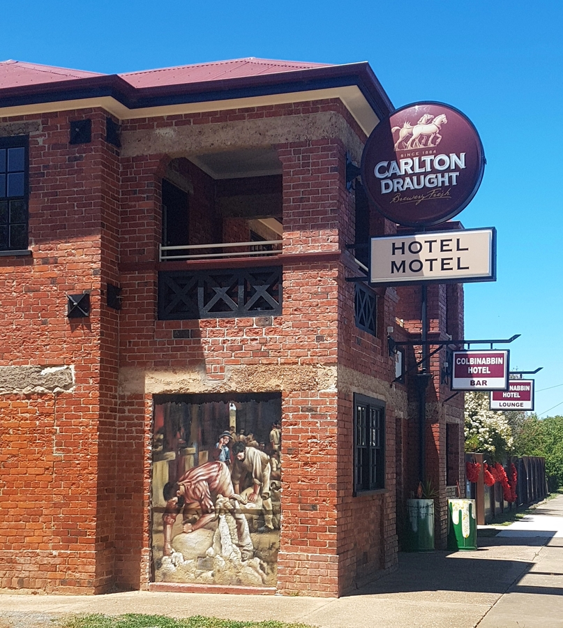
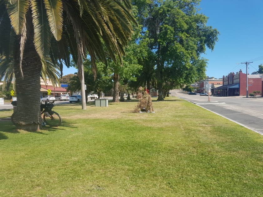
We rolled into historic Rushworth after 90km. The large grassy strip and water fountain in the centre of town was an ideal place to rest up, dust ourselves down and refill our bidons. Spoilt for choice with two pubs and a takeaway store, we each devoured a takeaway hamburger with the lot.
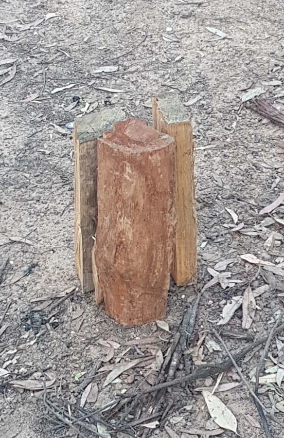
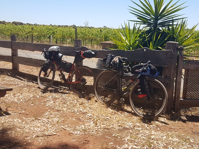
Then a relaxing, gradual climb took us the 7km to Green’s Campground in the Whroo Historic Reserve Campground. A terrific bikepacker’s campground. Clean pit toilets, heaps of space, and peace! There weren’t many people around, though someone nearby, kindly gave us some firewood, which was quickly repurposed into a seat!
How to turn borrowed firewood into a seat in 5 seconds or less
.
Day 2: Whroo – Nagambie – Graytown – Heathcote
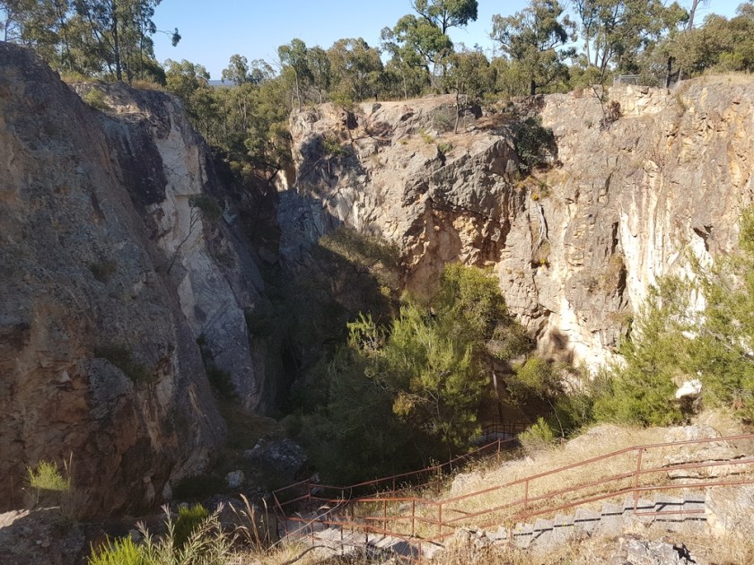
After a morning coffee at camp, we backtracked to check out the old Balaclava Mine. Worth the effort.
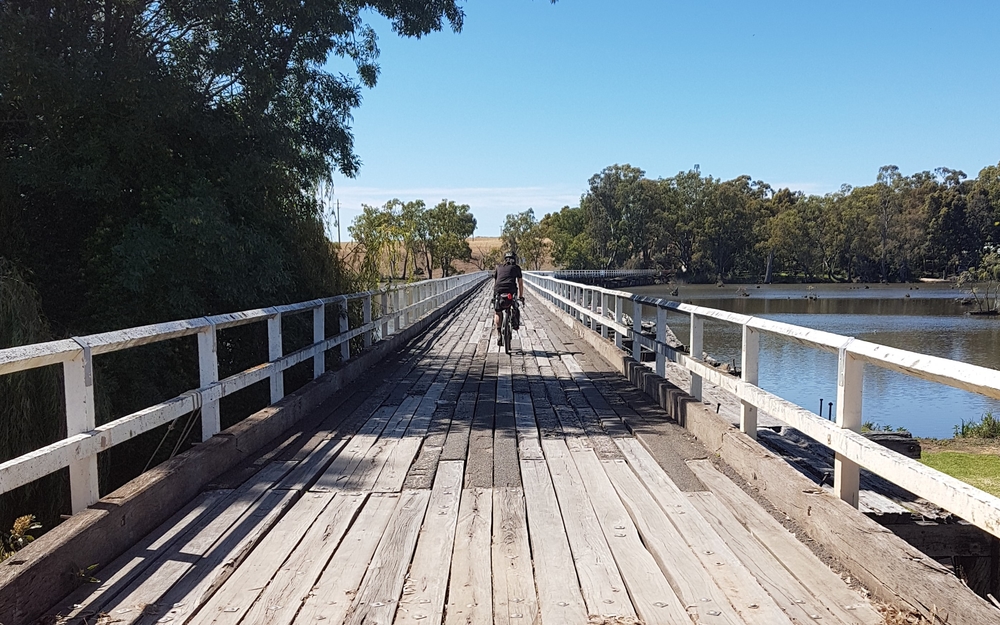
Then a relaxing, mostly flat, roll through ironbark forests took us past the lovely Reedy Lake and to the photogenic Kirwan’s Bridge.
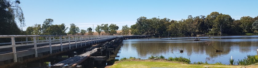
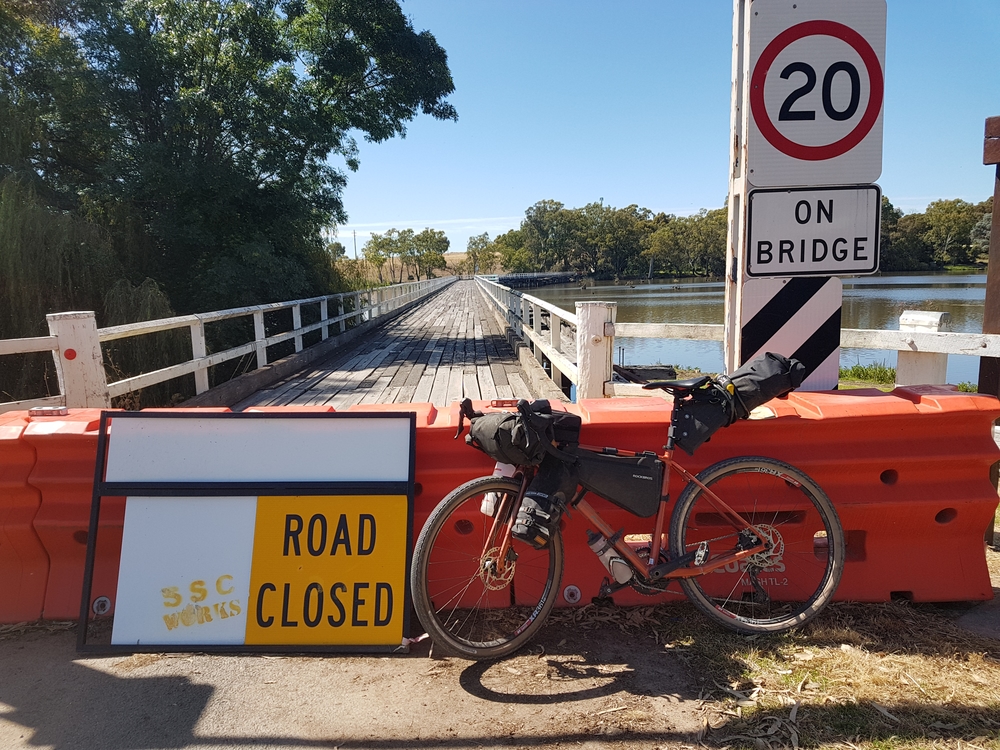
The old, wooden Kirwan’s Bridge over the Goulburn River is one of those bucket list kind of bridges. Except that the recent floods have seen the bridge closed. We headed for a look anyway, unsure what awaited us, with a Plan B detour in mind.
To our surprise, we were enthusiastically greeted by an elderly local, who was exuberant in encouraging us to cross Kirwan’s. (We are pretty sure this was one way he could give the proverbial ‘middle finger’ to local council). Apparently the bridge remains closed despite not being damaged, given the flood water never even reached the wooden deck. But the old bridge next to it took a hit from a jetty that had come loose, and local council cannot source the appropriate engineer to green light the bridge reopening. So closed it shall remain. Eager to grant our new local friend his wish, and keen for a short cut, over the Goulburn River to Nagambie we went.
Despite not being overly hungry, Matt relieved Nagambie’s Vietnamese bakery of a meat pie and the biggest coffee scroll the world has ever seen. Impressive effort. Just a couple of donuts and a coffee for me. This would be the last town for the day, with around 60km of forest ahead, so we loaded up with water and trundled on.
The remainder of the day turned out to be a fairly routine ride through serene, ironbark forests, on undulating gravel. It was a truly enjoyable ride through a landscape that would take me a long time to get sick of. Matt and I skipped the Graytown ruins and cemetery, conscious of needing to push on. Next time. I also later learned I’d overlooked the Whroo Historic Cemetery (it pays to do your research!).
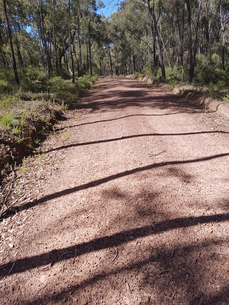
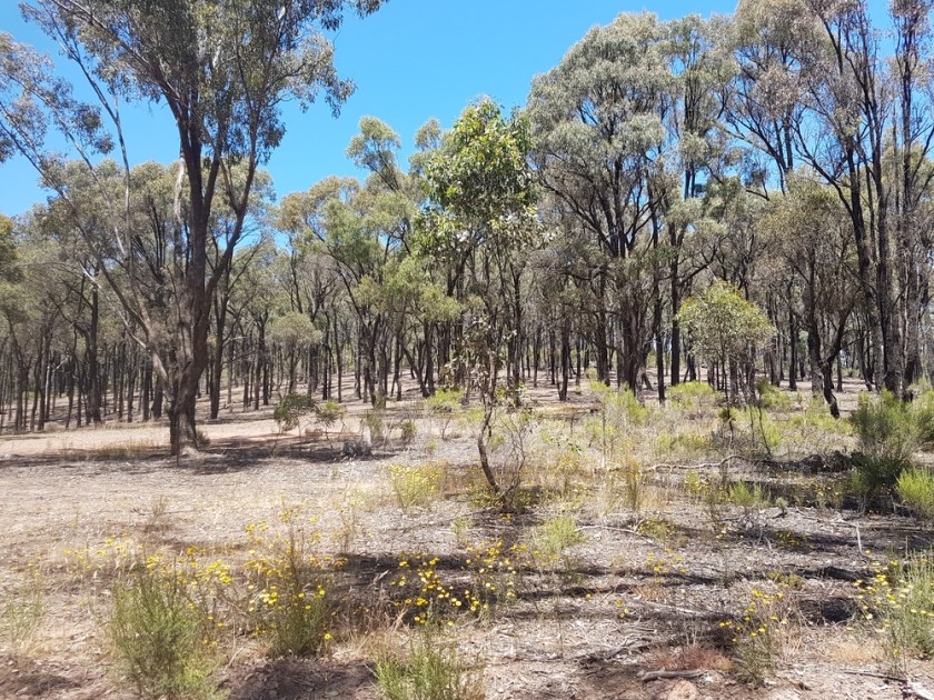
Scenic gravel roads through ironbark forests, punctuated by the occasional clearing
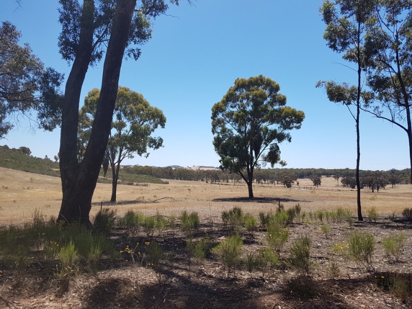
The final 30km involved a series of gentle rolling hills, that seemed to get bigger the closer we got to Heathcote. Then the final zigzag and descent back to our starting point the day earlier.
It was a great weekend away, with plenty to see along the way, and enough towns and food/water stops to keep us fuelled and hydrated.
.
Strava links
Day 1: https://www.strava.com/activities/8261455986
Day 2: https://www.strava.com/activities/8261456160
.
More Ride Reports
Click on this link to see more Ride Reports from the GABCY Network
.
